Portorož tide times
Portorož tide forecast — heights relative to MSL.
Today's tide times for Portorož
Tide times at Portorož on Saturday, 27 June 2026: first low tide at 02:45am, first high tide at 08:00pm. Sunrise 05:18am, sunset 08:58pm.
Tide chart for Portorož
24-hour cosine-interpolated curve around the present moment. Heights relative to MSL. Predictions: Predictions: Open-Meteo Marine (MeteoFrance SMOC, 0.08° grid).
Sun, moon and conditions on Sat 27 Jun
Snapshot at build time — refreshes daily. Sea state from Open-Meteo Marine.
Highs and lows next 7 days
Every predicted high and low for the next week, with the daily tidal coefficient (0–120; higher = bigger swing, > 95 means stronger currents).
Other spots nearby
The three closest curated TideTurtle locations to Portorož, measured by great-circle distance.
Today's solunar windows
Solunar tradition: major periods are the ≈3h windows around moon transit and opposition; minor are ≈2h around moonrise and moonset. Pair with the local tide stage and wind for the best read.
Cycle dates near Portorož
Next spring tide on Wed 01 Jul (range 1.0m). Last neap on Sat 27 Jun.
Spring tides cluster around new and full moons (biggest swings). Neap tides land on quarter moons (smallest swings). See the spring tide and neap tide glossary entries for the why.
About tides at Portorož
A short guide to the coastline at Portorož — geography, sea state, and what the tide is actually doing under your feet.
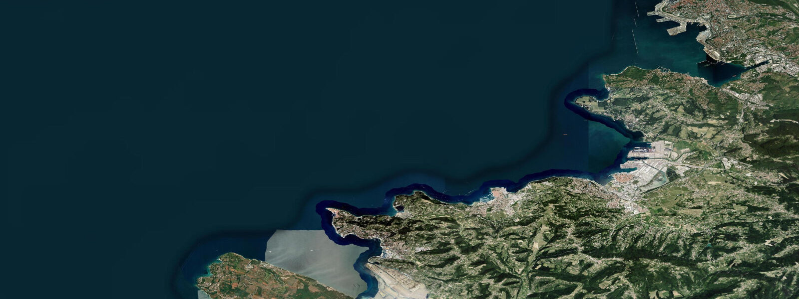
Portorož is Slovenia's only sand-beach resort and its most developed coastal destination. The name means 'Port of Roses' in Slovenian, and the town has a Riviera character that distinguishes it sharply from the stone-town austerity of Piran 3 km to the west. The main beach is a 400-metre arc of imported fine sand facing south into the Gulf of Piran — the only broad sandy beach on the Slovenian coast, which is otherwise dominated by rocky limestone platforms. Hotels, a casino, a thalassotherapy centre, and a marina make Portorož the commercial heart of the Slovenian Riviera.
The tidal regime is semidiurnal Adriatic: spring range 0.7–0.9 m above Chart Datum, neap range 0.2–0.4 m. The main beach sits at a low elevation relative to the Gulf, and the tidal change directly affects beach width and the nearshore swimming depth. At high spring tide, the beach narrows to 25–30 m between the beach bars and the waterline. At low spring tide the sand extends 45–55 m to the water — a significant difference that affects where sun loungers can be placed and how far families have to walk to reach swimming depth.
The nearshore water depth at Portorož is particularly shallow. The bay shelves gently: 40 m from the waterline the depth at mid-tide is only 0.8–1.2 m. At low spring water that drops to 0.3–0.7 m — ankle to knee depth for 40 m. This is ideal for young children who want to wade, but swimmers wanting 1.5 m depth need to walk 60–80 m from the waterline at low water. The shallow gradient also means that wave energy is dissipated well before the shore; the main beach is consistently calm in all but a strong southwesterly swell.
For families with young children, Portorož is the practical choice on the Slovenian coast. The beach is sandy (not the rocky platforms of Piran and Koper), the slope is gentle, and the maximum water temperature of 26–27 °C in August makes extended swimming comfortable. The incoming flood tide is the best window for young swimmers: the water advances steadily, depth builds toward the shore, and the clearest water of the day arrives with the flood as it pushes cleaner offshore water into the bay.
The marina at Portorož — Marina Portorož — is one of the largest on the eastern Adriatic, with 1,000 berths and capacity for vessels up to 80 m. The approach channel maintains 3.0 m at mean low water. Vessels drawing over 2.5 m should arrive no earlier than 2 hours before high water on spring tides to ensure safe margin in the approach. The marina basin itself is dredged to 3.5 m. The Bora wind creates wave action in the approach from the northeast; the marina entrance faces southeast and is partially sheltered, but berth assignments for the outer pontoons may be changed by the marina office during sustained Bora events.
For stand-up paddleboarding and flat-water kayaking, the protected bay at Portorož is one of the best venues on the Slovenian coast. The bay's natural shelter from the northeast Bora (blocked by the Piran peninsula) and from westerly swells makes it a reliable flat-water training ground. Rentals are available from the beach concessions from May to September. The 3-km paddle from the main beach around the Piran peninsula to the old harbour of Piran is a popular half-day route; timing the return leg on the flood (northeast current) makes the final kilometre into the harbour easier.
Anglers at Portorož use the marina breakwater and the southern pier for shore fishing. Sea bream are the target species; the ebb current off the marina entrance runs southwest and concentrates fish at the breakwater head in the 60–90 minutes around low water. The salt pans of Sečovlje Salina, 4 km south — a protected nature reserve — are closed to fishing, but the approach channel to the salina through the Dragonja estuary holds grey mullet in summer.
All tide predictions for Portorož come from the Open-Meteo Marine gridded model. Timing accuracy is ±45 minutes; height accuracy is ±0.3 m above Chart Datum.
Tide questions about Portorož
Quick answers to the most common questions about tide times, range, and water access at Portorož.
How does the tide affect the main beach at Portorož?
Portorož's sand beach narrows from 45–55 m at low spring water to 25–30 m at high spring water — a visible change that affects sun lounger placement and the walking distance to swimming depth. The nearshore gradient is very gentle: 40 m from the waterline, depth at mid-tide is only 0.8–1.2 m, dropping to 0.3–0.7 m at low spring water. Swimmers wanting 1.5 m depth need to wade 60–80 m from shore at low tide. The incoming flood tide advances the swimming-depth water toward the shore and brings the clearest water of the tidal cycle. Tide predictions from Open-Meteo Marine carry ±45 minutes timing and ±0.3 m height uncertainty.
Is Portorož beach suitable for very young children given the tidal conditions?
Portorož is the best beach on the Slovenian coast for young children. The sand is imported fine grain (not the rocky platforms of Piran or Koper), the slope is very gentle, and the bay is protected from wave action on all but southwesterly swell. At low water, the first 40 m from shore is ankle-to-knee depth — ideal for supervised paddling. The flood tide slowly builds depth toward the shore, giving a controlled increase in water level that is easy to monitor. Maximum summer water temperature is 26–27 °C. The one consideration: at high spring water the beach narrows significantly, reducing the dry sand area available for towels and play.
How does the tide affect vessel entry to Marina Portorož?
Marina Portorož's approach channel maintains 3.0 m at mean low water; the marina basin is dredged to 3.5 m. Vessels drawing under 2.5 m can enter at any tidal state within the approach channel's dredged section. Vessels drawing 2.5–3.0 m should plan arrival no earlier than 2 hours before high water on spring tides to maintain safe clearance. The marina entrance faces southeast and is partially sheltered from the northeast Bora, but strong Bora events create wave action in the approach; the marina office may reassign outer pontoon berths during sustained events. Contact the marina on VHF Channel 17 before entry for real-time depth and berth instructions.
What is the best time of day and tidal state for paddleboarding at Portorož?
Early morning before 09:00 combines the calmest surface conditions and fewest boat wakes in the bay. The Bora is typically weakest in the early morning; afternoon sea breezes can create chop in the bay from 13:00 onward. Tidal state matters less for flat-water paddling in the protected bay than for route planning: the 3-km paddle from Portorož beach around the Piran peninsula is best timed with the flood current, which sets northeast at 0.3–0.5 knots and assists the final kilometre into Piran harbour. Rentals from beach concessions operate May through September; no tidal-timing restriction applies to bay paddling itself.
Where do anglers fish from Portorož and what tidal state works best?
The marina's southwest breakwater and the southern pier offer the best public shore-fishing access at Portorož. Sea bream (orada) is the primary target. The ebb current off the marina entrance runs southwest and creates a feeding zone at the breakwater head in the 60–90 minutes around low water — the most reliable window for bream. Night fishing with squid jigs from the pier is productive in summer. The Sečovlje Salina estuary 4 km south holds grey mullet, accessible from the track along the north bank of the Dragonja River; the salina reserve itself is closed to fishing.
8-day tide table — Portorož
Heights relative to MSL. Predictions: Open-Meteo Marine (MeteoFrance SMOC, 0.08° grid) — heights relative to MSL (not chart datum / LAT). Model-derived.
| Day | Type | Time | Height |
|---|---|---|---|
| Sat 27 Jun | Low | 02:45 | -1.0m |
| High | 20:00 | -0.2m | |
| Sun 28 Jun | Low | 03:15 | -1.0m |
| High | 10:06 | -0.3m | |
| Low | 14:55 | -0.6m | |
| High | 20:37 | -0.1m | |
| Mon 29 Jun | Low | 03:48 | -1.0m |
| High | 21:18 | -0.1m | |
| Tue 30 Jun | Low | 04:23 | -1.1m |
| High | 11:20 | -0.2m | |
| Low | 16:06 | -0.5m | |
| High | 21:45 | -0.1m | |
| Wed 01 Jul | Low | 04:48 | -1.1m |
| High | 11:55 | -0.2m | |
| Low | 16:42 | -0.5m | |
| High | 22:12 | -0.1m | |
| Thu 02 Jul | Low | 05:22 | -1.1m |
| High | 22:45 | -0.1m | |
| Fri 03 Jul | Low | 05:43 | -1.0m |
| High | 12:45 | -0.1m | |
| Low | 18:06 | -0.5m | |
| High | 23:00 | -0.2m | |
| Sat 04 Jul | Low | 01:00 | -0.4m |