Izola tide times
Izola tide forecast — heights relative to MSL.
Today's tide times for Izola
Tide times at Izola on Saturday, 4 July 2026: first high tide at 02:00am, first low tide at 06:06am, second high tide at 01:16pm, second low tide at 07:15pm. Sunrise 05:21am, sunset 08:57pm.
Tide chart for Izola
24-hour cosine-interpolated curve around the present moment. Heights relative to MSL. Predictions: Predictions: Open-Meteo Marine (MeteoFrance SMOC, 0.08° grid).
Sun, moon and conditions on Sat 04 Jul
Snapshot at build time — refreshes daily. Sea state from Open-Meteo Marine.
Highs and lows next 7 days
Every predicted high and low for the next week, with the daily tidal coefficient (0–120; higher = bigger swing, > 95 means stronger currents).
Other spots nearby
The three closest curated TideTurtle locations to Izola, measured by great-circle distance.
Today's solunar windows
Solunar tradition: major periods are the ≈3h windows around moon transit and opposition; minor are ≈2h around moonrise and moonset. Pair with the local tide stage and wind for the best read.
Cycle dates near Izola
Last spring tide on Sat 04 Jul (range 0.9m). Next spring tide on Fri 10 Jul (range 0.9m). Next neap on Sun 05 Jul.
Spring tides cluster around new and full moons (biggest swings). Neap tides land on quarter moons (smallest swings). See the spring tide and neap tide glossary entries for the why.
About tides at Izola
A short guide to the coastline at Izola — geography, sea state, and what the tide is actually doing under your feet.
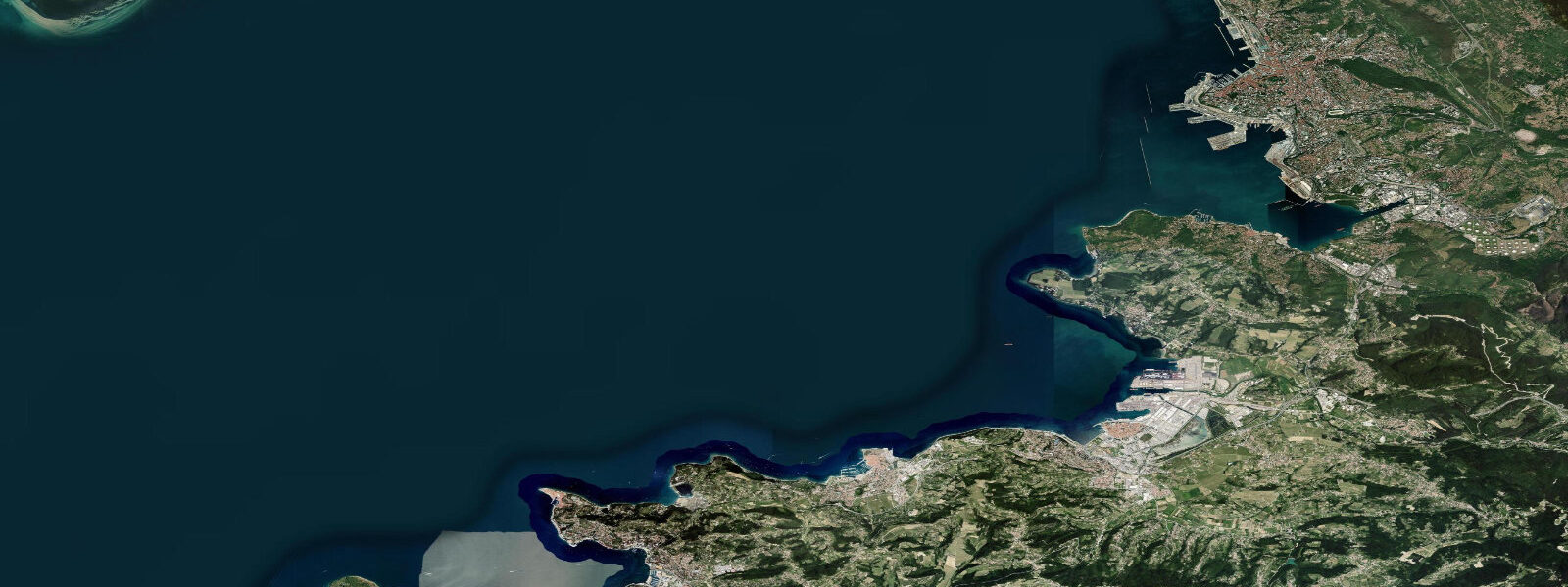
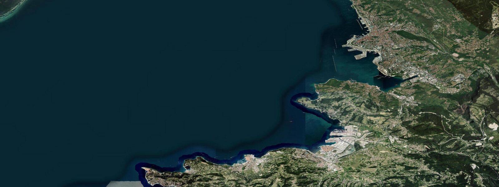
Izola — or Isola d'Istria in Italian, a name still in daily use — occupies a small peninsula on the Slovenian coast between Koper to the north and Piran to the south. The name comes from the Latin insula: this was literally an island until the late eighteenth century, when the channel separating it from the mainland was filled in to create the causeway that now forms the main road approach. The old town on the peninsula retains its island character — tight lanes, Venetian-era arcaded buildings, a fishing harbour still active with day boats, and the fish auction (ribja dražba) held several mornings a week where the catch is sold to restaurants and wholesalers on the dock.
The Belvedere Beach on the western tip of the peninsula is the main swimming area: a concrete and pebble foreshore with organised beach infrastructure (sunbeds, showers, a café) and water that reaches 26°C in summer. The rocky coastline extending south from the peninsula toward the Strunjan Nature Park has a different character — limestone shelves dropping to clear water with sea urchins visible at low water, favoured by snorkellers and mask-and-fins swimmers who want to explore the underwater ledge environment rather than lie on a beach. The sea urchin density at some of these shelves is high enough that water shoes are a practical necessity.
The Adriatic at Izola is semidiurnal with a spring range of 0.8 to 1.2 m. This is slightly larger than the central and southern Adriatic because of the bay geometry: the northern Adriatic between the Venetian lagoon and the Istrian coast is shallow and narrow, and the tidal wave amplifies as it propagates into the increasingly restricted bay. Venice and Trieste at the head of the Adriatic see spring ranges approaching 1.0 m; Izola, on the eastern Istrian coast, is within that amplified zone. The tide is enough to expose the rock shelves — at low water the rock platform drops 0.8 to 1.0 m below the high-water mark, revealing a distinct band of marine life colonisation that varies from the upper barnacle zone through the limpet zone to the urchin-and-coralline-algae zone below.
The Isola Seafood Festival (Festival ribe in morskih sadežev), held in August, draws crowds to the harbourfront for grilled fish, sardine preparations, and the squid-ink pasta that is the local signature dish. The fishing fleet here still pursues sardine, anchovy, and sea bass in the northern Adriatic, and the connection between the active harbour and the food culture is more direct than at most Mediterranean resorts.
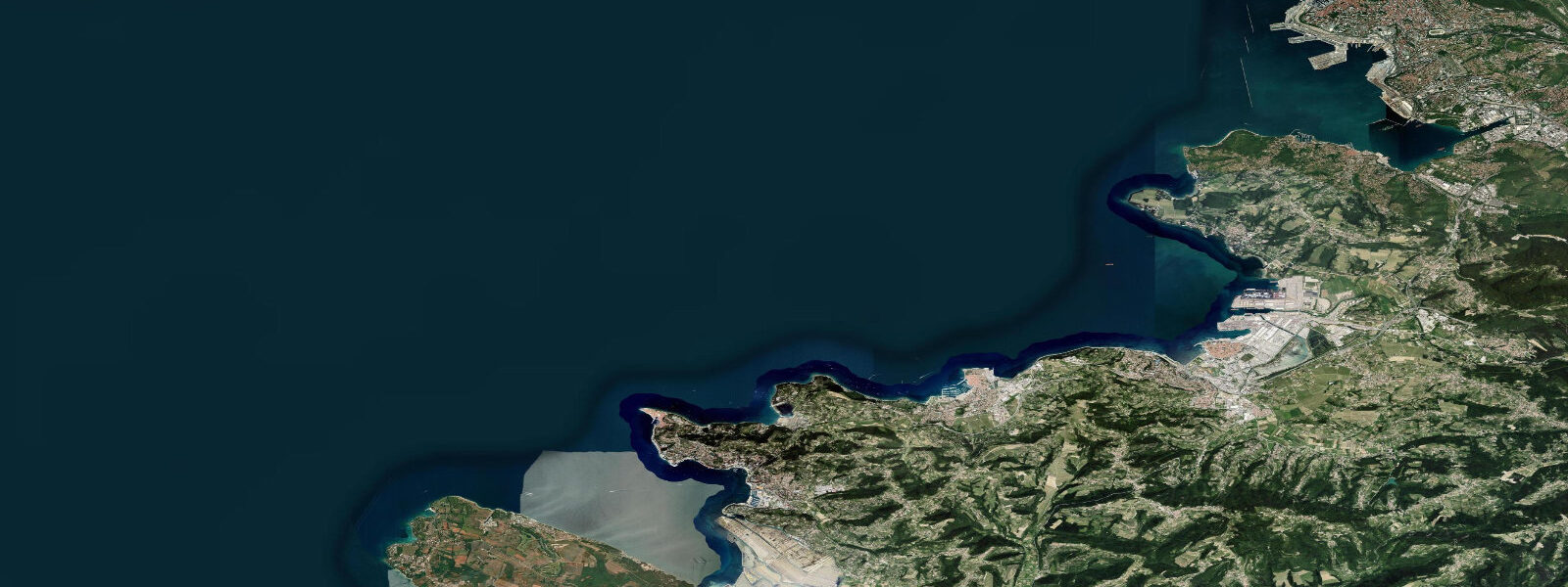
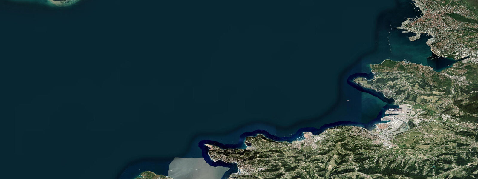
The Slovenian Riviera — the 47 km of coast that is all of Slovenia's maritime territory — compresses a great deal of character into a short distance. Koper (10 km north) is the working port. Piran (5 km south) is the show town of Venetian architecture. Izola sits between them with a working-harbour identity that is less photographed than Piran but arguably more functional as a coastal town. The coastal path linking all three towns is walkable in sections and cycleable for most of its length.
Predictions on this page come from Open-Meteo Marine, a gridded global ocean model. Accuracy is typically within plus or minus 45 minutes on timing and 0.2 to 0.3 m on height — at Izola's 0.8 to 1.2 m spring range, the height uncertainty is roughly 20 to 30 percent of the total signal, and the timing uncertainty spans a meaningful fraction of the flood cycle. For authoritative Adriatic tide data, the Slovenian Environment Agency (ARSO) operates the sea-level gauge at Koper, and the Italian Istituto Superiore per la Protezione e la Ricerca Ambientale (ISPRA) publishes harmonic predictions for the northern Adriatic.
Tide questions about Izola
Quick answers to the most common questions about tide times, range, and water access at Izola.
When is the next high tide at Izola?
The hero block at the top of this page shows the next predicted high at Izola in local Central European Time (CET/CEST, UTC+1/UTC+2). Izola has an Adriatic semidiurnal tide — two highs and two lows per day. Spring range is 0.8 to 1.2 m — larger than the central Mediterranean because the northern Adriatic bay geometry amplifies the tidal signal toward the Venetian/Triestine head. The Slovenian Environment Agency (ARSO) operates the sea-level gauge at Koper, 10 km north, which provides the closest authoritative reference point.
What is the tidal range at Izola?
Mean spring range at Izola is 0.8 to 1.2 m. The northern Adriatic amplifies the tidal signal relative to the central and southern Adriatic because the basin narrows and shallows toward Venice and Trieste — a classic resonance effect. Neap range compresses to roughly 0.3 to 0.5 m. The difference between high and low water is enough to expose the full rock-shelf platform in front of the limestone coast south of the peninsula, revealing sea urchin habitat and coralline algae zones that are covered at high water.
Where do these tide predictions come from?
Open-Meteo Marine, a free gridded global ocean model. Accuracy is typically within plus or minus 45 minutes on timing and 0.2 to 0.3 m on height. At Izola's spring range of 0.8 to 1.2 m, the height uncertainty is roughly 20 to 30 percent of the total signal. For authoritative northern Adriatic tide data, the Slovenian Environment Agency (ARSO) operates the Koper gauge. The Italian ISPRA network also covers the northern Adriatic and provides useful cross-reference data.
Is snorkelling good at Izola?
The limestone shelves along the coast south of the peninsula toward Strunjan Nature Park are among the better accessible snorkelling sites on the Slovenian coast. The rocky platform drops in steps to 3 to 5 m depth, with good visibility (10 to 15 m) on calm days. Sea urchins are abundant on the lower platform — water shoes are practical. The ebb tide produces some current along the cliff base, so the period around low water or early flood gives the calmest conditions. The Belvedere Beach area is sandier and shallower, better suited to children's swimming than to snorkel exploration.
Is this safe to use for navigation?
No. TideTurtle is a planning tool for recreational coastal activity, not a navigation resource. Izola harbour has active commercial fishing traffic, and the northern Adriatic shipping lanes (approaching Koper and Trieste) carry container traffic. For any vessel operation in Slovenian waters, use charts published by the Slovenian Environment Agency (ARSO) and the relevant Notices to Mariners. The Italian Guardia Costiera and ISPRA publish real-time and forecast sea-level data for the northern Adriatic. Open-Meteo Marine gridded predictions do not replace authoritative navigation sources.
8-day tide table — Izola
Heights relative to MSL. Predictions: Open-Meteo Marine (MeteoFrance SMOC, 0.08° grid) — heights relative to MSL (not chart datum / LAT). Model-derived.
| Day | Type | Time | Height |
|---|---|---|---|
| Sat 04 Jul | High | 02:00 | -0.5m |
| Low | 06:06 | -1.1m | |
| High | 13:16 | -0.1m | |
| Low | 19:15 | -0.7m | |
| Sun 05 Jul | High | 00:10 | -0.4m |
| Low | 06:21 | -1.0m | |
| Mon 06 Jul | High | 00:54 | -0.4m |
| Low | 07:00 | -0.8m | |
| High | 14:10 | -0.2m | |
| Low | 21:06 | -0.7m | |
| Tue 07 Jul | High | 02:10 | -0.5m |
| Low | 07:42 | -0.7m | |
| High | 15:10 | -0.1m | |
| Wed 08 Jul | Low | 09:06 | -0.6m |
| High | 15:54 | -0.1m | |
| Low | 23:45 | -0.7m | |
| Thu 09 Jul | High | 16:54 | -0.1m |
| Fri 10 Jul | Low | 00:54 | -0.8m |
| High | 18:06 | -0.1m | |
| Sat 11 Jul | Low | 01:00 | -0.9m |