Koper tide times
Koper tide forecast — heights relative to MSL.
Today's tide times for Koper
Tide times at Koper on Saturday, 27 June 2026: first low tide at 02:45am, first high tide at 08:00pm. Sunrise 05:17am, sunset 08:58pm.
Tide chart for Koper
24-hour cosine-interpolated curve around the present moment. Heights relative to MSL. Predictions: Predictions: Open-Meteo Marine (MeteoFrance SMOC, 0.08° grid).
Sun, moon and conditions on Sat 27 Jun
Snapshot at build time — refreshes daily. Sea state from Open-Meteo Marine.
Highs and lows next 7 days
Every predicted high and low for the next week, with the daily tidal coefficient (0–120; higher = bigger swing, > 95 means stronger currents).
Other spots nearby
The three closest curated TideTurtle locations to Koper, measured by great-circle distance.
Today's solunar windows
Solunar tradition: major periods are the ≈3h windows around moon transit and opposition; minor are ≈2h around moonrise and moonset. Pair with the local tide stage and wind for the best read.
Cycle dates near Koper
Next spring tide on Tue 30 Jun (range 1.0m). Last neap on Sat 27 Jun.
Spring tides cluster around new and full moons (biggest swings). Neap tides land on quarter moons (smallest swings). See the spring tide and neap tide glossary entries for the why.
About tides at Koper
A short guide to the coastline at Koper — geography, sea state, and what the tide is actually doing under your feet.
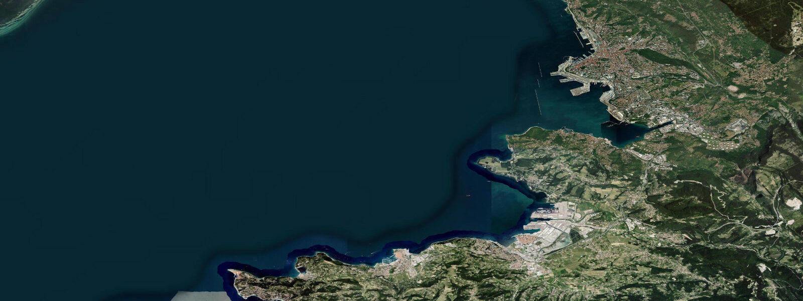
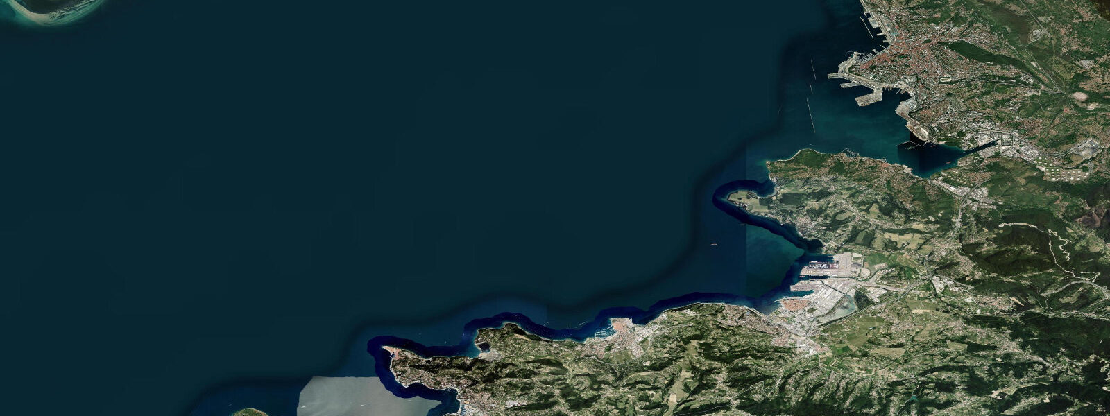
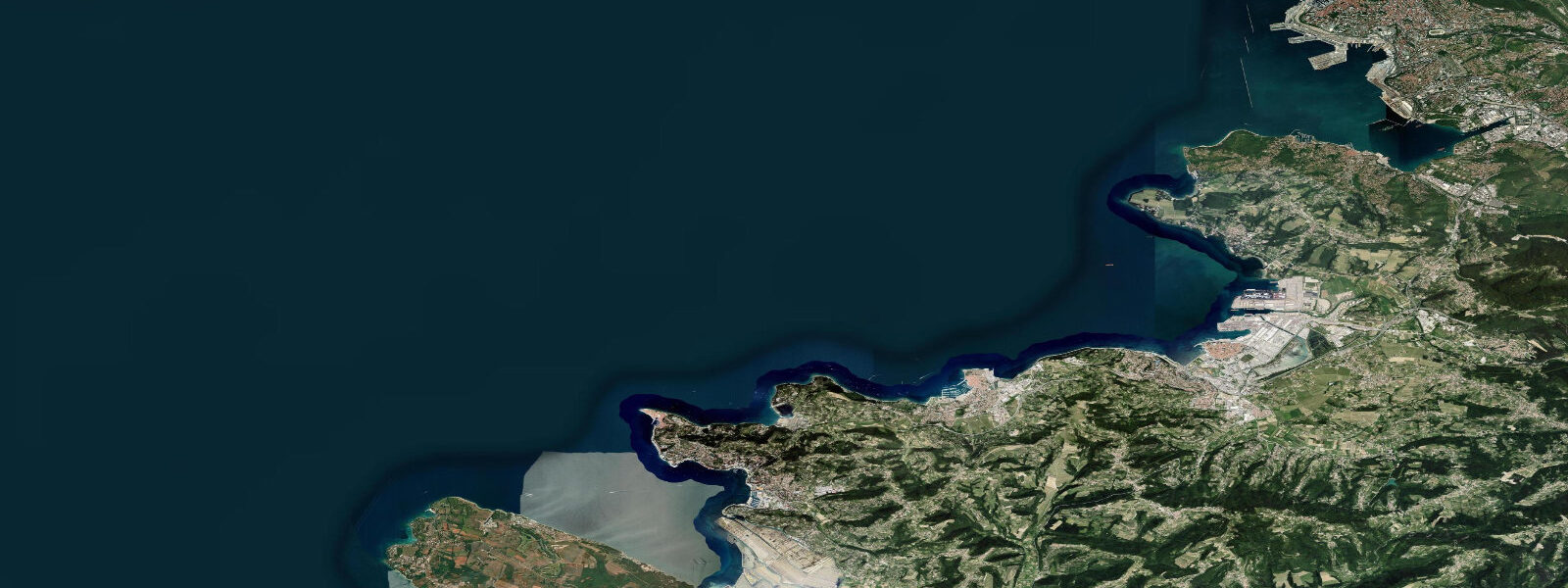
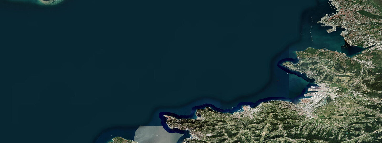
Koper is Slovenia's only sea port and its most important commercial maritime hub. The container terminal on the north side of the city handles the majority of landlocked Austria and Hungary's import traffic — a fact that shapes the waterfront completely differently from the resort towns 10 km to the south. Yet the old town of Koper sits on what was once an island in the Gulf of Trieste, connected to the mainland by a causeway in the 19th century, and its medieval core — the Cathedral of the Assumption, the Praetorian Palace, the Tito Square — is Venetian in character and worth the detour.
The tidal regime is identical to Piran: semidiurnal Adriatic, spring range 0.7–0.9 m, neap range 0.2–0.4 m. In the context of a working port, these tidal increments translate directly into operational practice. The main commercial berths are designed around a mean water level that accounts for the tidal range; vessels berthed at the container terminal work cargo at all tidal states. For smaller craft — the recreational marina at Koper Pier accommodates vessels up to 20 m — the spring low water datum of approximately -0.1 m below Chart Datum means that marina berths rated at 2.0 m minimum depth drop to 1.9 m on a spring low. Skippers of vessels drawing over 1.5 m should check the predicted tide before entry at Koper marina; the approach channel is dredged but the outer marina finger pontoons are in shallower water.
The Bora influence is as significant at Koper as at Piran. The port authority at Luka Koper monitors Bora forecasts from ARSO and may impose berth restrictions on the outer container terminal during sustained Bora events above 50 km/h. For recreational users, the Bora effect on water level — raising or lowering the Gulf of Trieste by 0.2–0.4 m against the astronomical prediction — is the key variable to track alongside the tide chart.
Swimming and beach access at Koper is limited by the port infrastructure. The main public beach is Žusterna, 2 km west of the old town on the coastal promenade, where a small concrete-and-sand beach faces southwest. At high spring tide, the beach is 8–10 m wide; at low spring tide, the width extends to 20–25 m as the shallow sandy bottom is exposed. The water is 1.0–1.5 m deep 30 m from shore at mid-tide — a reasonable swimming depth, though the view across the bay includes the commercial port facilities.
For sea kayakers, Koper is the practical base for multi-day coastal tours of the Slovenian Riviera. The 46-kilometre coastline from the Italian border to the Croatian border can be paddled in two easy days with an overnight at Piran. The marina at Koper provides secure kayak storage and launching for registered vessels. The tidal current along the Istrian coast sets northeast on the flood and southwest on the ebb at 0.3–0.6 knots — plan to run south to Piran on the ebb and north back to Koper on the flood if you want the current with you both ways.
Anglers at Koper target the rocky breakwater structures of the port and the artificial reef created by the causeway fill material. Sea bream and sea bass congregate around the breakwater heads at dusk; the ebb current off the port entrance concentrates prey and predator species in the 90-minute window either side of low water. Fishing from the public promenade is permitted; access to the port breakwaters requires prior authorisation from Luka Koper port authority.
For photographers, the old town of Koper offers the strongest visual material: the Praetorian Palace facade on Tito Square is best lit in the late afternoon from the west. The view from the campanile across the bay to the Italian coast at Trieste on a clear day is excellent. The port itself — container cranes, roll-on roll-off ramps, the long sweep of the berths — is industrial photography with permission from the port communications office.
All tide predictions for Koper come from the Open-Meteo Marine gridded model. Timing accuracy is ±45 minutes; height accuracy is ±0.3 m above Chart Datum. The Bora wind effect is not captured by the model.
Tide questions about Koper
Quick answers to the most common questions about tide times, range, and water access at Koper.
How does the tidal range at Koper affect the marina and small-boat operations?
Koper's spring tidal range of 0.7–0.9 m means the recreational marina experiences a water level swing of roughly 0.8 m between spring high and low water. Marina berths rated at 2.0 m minimum depth drop to approximately 1.9 m at spring low — relevant for vessels drawing 1.5 m or more. The approach channel is dredged to commercial standards but the outer finger pontoons in the recreational marina are in shallower water. Skippers arriving on a falling tide should check the predicted low against the vessel's draft. The Bora wind can lower Gulf of Trieste levels by an additional 0.2–0.4 m below prediction on top of the tidal ebb — a compound effect that warrants particular caution.
Where can you swim near Koper and how does the tide affect beach width?
Žusterna beach, 2 km west of Koper's old town, is the main public swimming area. At high spring water the usable sand-and-concrete beach is 8–10 m wide; at low spring water it extends to 20–25 m. The water depth 30 m from shore at mid-tide is 1.0–1.5 m — suitable for all swimmers. The beach faces southwest; afternoon light and calm sea-breeze conditions make it most comfortable from 14:00 onward. The port infrastructure is visible to the north; if the industrial backdrop matters, the beaches further south at Piran and Portorož are more scenic.
Can you kayak the full Slovenian coast from Koper, and how do tides affect the route?
The Slovenian coast from the Italian border near Lazaret to the Croatian border at Dragonja is 46 km and paddleable in two days with an overnight at Piran. The tidal current along the Istrian coast runs northeast on the flood (favourable for the southbound leg) and southwest on the ebb (favourable for the northbound return). On a spring tide this current reaches 0.3–0.6 knots — noticeable over a full day's paddling. The Bora is the primary hazard: the exposed sections off the headlands north and south of Piran have no shelter if a Bora builds mid-crossing. Plan early morning starts and be off exposed sections before 10:00, when Bora risk is lowest.
What is the best fishing from Koper's public access points?
The public promenade breakwater at Koper provides the best shore-fishing access without port authority permits. Sea bream (orada), mullet, and sea bass are the main species. The ebb current off the port entrance breakwater head creates a rip that concentrates baitfish and attracts predators in the 90 minutes either side of low water. Dusk and dawn sessions are most productive; night fishing with squid jigs from the promenade is reliable in summer. Access to the commercial port breakwaters requires prior written permission from Luka Koper's port authority. Fishing from the marina pontoons is not permitted.
Does the Bora affect vessel safety at Koper port?
Yes. The Bora is a northeast katabatic wind that descends from the Karst plateau and can sustain 40–80 km/h at Koper for 12–40 hours. Luka Koper port authority monitors ARSO Bora forecasts and imposes berth restrictions on the outer container terminal during sustained events above 50 km/h. For recreational vessels in the marina, the Bora creates a cross-berth wind that makes berthing manoeuvres difficult; arrival during an active Bora should be avoided. Additionally, a northerly Bora drains the Gulf of Trieste, lowering water levels 0.2–0.4 m below astronomical prediction — a compound with the spring low that is relevant for shallow-draft marina berths.
8-day tide table — Koper
Heights relative to MSL. Predictions: Open-Meteo Marine (MeteoFrance SMOC, 0.08° grid) — heights relative to MSL (not chart datum / LAT). Model-derived.
| Day | Type | Time | Height |
|---|---|---|---|
| Sat 27 Jun | Low | 02:45 | -1.0m |
| High | 20:00 | -0.1m | |
| Sun 28 Jun | Low | 03:16 | -1.0m |
| High | 10:10 | -0.3m | |
| Low | 14:55 | -0.6m | |
| High | 20:37 | -0.1m | |
| Mon 29 Jun | Low | 03:48 | -1.1m |
| High | 10:38 | -0.2m | |
| Low | 15:38 | -0.6m | |
| High | 21:20 | -0.1m | |
| Tue 30 Jun | Low | 04:24 | -1.1m |
| High | 11:15 | -0.2m | |
| Low | 16:06 | -0.5m | |
| High | 21:50 | -0.1m | |
| Wed 01 Jul | Low | 04:51 | -1.1m |
| High | 11:50 | -0.2m | |
| Low | 16:47 | -0.5m | |
| High | 22:15 | -0.1m | |
| Thu 02 Jul | Low | 05:23 | -1.1m |
| High | 22:45 | -0.1m | |
| Fri 03 Jul | Low | 05:43 | -1.1m |
| High | 12:50 | -0.1m | |
| Low | 18:00 | -0.5m | |
| High | 23:04 | -0.2m | |
| Sat 04 Jul | Low | 01:00 | -0.4m |