Piran tide times
Piran tide forecast — heights relative to MSL.
Today's tide times for Piran
Tide times at Piran on Saturday, 27 June 2026: first low tide at 02:38am, first high tide at 08:00pm. Sunrise 05:18am, sunset 08:58pm.
Tide chart for Piran
24-hour cosine-interpolated curve around the present moment. Heights relative to MSL. Predictions: Predictions: Open-Meteo Marine (MeteoFrance SMOC, 0.08° grid).
Sun, moon and conditions on Sat 27 Jun
Snapshot at build time — refreshes daily. Sea state from Open-Meteo Marine.
Highs and lows next 7 days
Every predicted high and low for the next week, with the daily tidal coefficient (0–120; higher = bigger swing, > 95 means stronger currents).
Other spots nearby
The three closest curated TideTurtle locations to Piran, measured by great-circle distance.
Today's solunar windows
Solunar tradition: major periods are the ≈3h windows around moon transit and opposition; minor are ≈2h around moonrise and moonset. Pair with the local tide stage and wind for the best read.
Cycle dates near Piran
Next spring tide on Wed 01 Jul (range 1.0m). Last neap on Sat 27 Jun. Next neap on Thu 02 Jul.
Spring tides cluster around new and full moons (biggest swings). Neap tides land on quarter moons (smallest swings). See the spring tide and neap tide glossary entries for the why.
About tides at Piran
A short guide to the coastline at Piran — geography, sea state, and what the tide is actually doing under your feet.
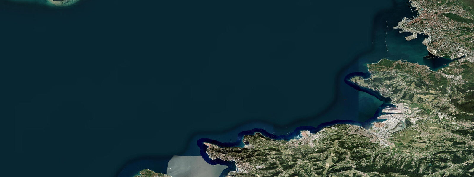
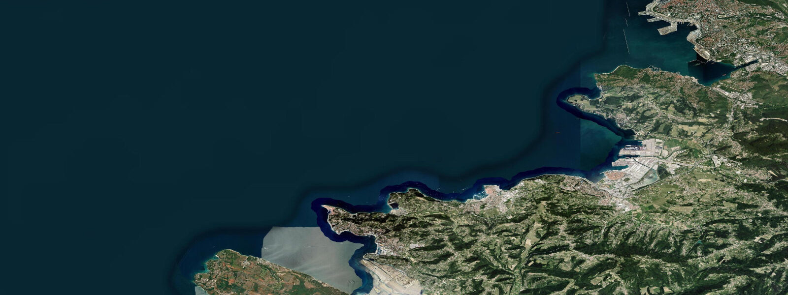
Piran stands on a narrow triangular peninsula that juts into the Gulf of Trieste, its medieval Venetian walls dropping almost directly to the Adriatic. The town was Venetian territory for five centuries and it shows: the central Tartinijev trg square is named after the 18th-century violinist Giuseppe Tartini who was born here, the church of St. George watches from the hilltop, and the warren of alleys within the walls is too narrow for cars. This is Slovenia's most visited coastal town, and for good reason — it is one of the most intact medieval coastal towns in the northern Adriatic.
The tidal regime at Piran mirrors the nearby Trieste gauge 5 km to the northeast: semidiurnal, spring range 0.7–0.9 m above Chart Datum, neap range 0.2–0.4 m. Two unequal highs and two unequal lows occur each day. The higher high water on a spring tide reaches approximately 0.7 m above Chart Datum at Piran; the lower low water on a spring ebb drops to around -0.1 m below Chart Datum — exposing sections of the rocky shoreline at the base of the sea walls that are submerged at other tidal states.
For swimmers and snorkellers, Piran's access points are rocky platforms cut into the limestone shore on the eastern and western faces of the peninsula. The main swimming area at Punta is on the eastern (more sheltered) side, where concrete platforms have been built down to the waterline. At low spring water, the outer platforms are 0.4–0.5 m above the water surface — an easy entry on ladder steps. At high water, the lower platforms are partially submerged and swimmers enter directly from the concrete edge. Underwater, the rocky substrate at 2–4 m depth holds sea bream, octopus, and dense sea urchin populations; the urchins are particularly thick on the low-water-exposed rock — approach barefoot sections carefully.
The Bora wind is the major variable that overrides tidal prediction. This northeast katabatic, funnelling from the Karst plateau, can raise or lower water levels by 0.2–0.4 m within hours. A sustained Bora (typically 12–40 hours) with a southerly component pushes water into the Gulf of Trieste and raises levels above prediction — Acqua Alta events that flood the lower quays of the old harbour, just as they flood Venice. A northerly Bora drains the Gulf and exposes more of the shoreline. Local forecasts from ARSO (the Slovenian Environment Agency) provide Bora warnings with enough lead time to plan shore access.
For kayakers, Piran is an excellent launch point with the caveat that the Bora makes open-water crossings on the Gulf of Trieste unpredictable. The paddle north along the coast to Fiesa — a tiny bay 1.5 km from Piran accessible only by sea or a steep path — is doable in 20 minutes in calm conditions. The route south along the coast toward Portorož passes rocky headlands where currents set at 0.3–0.5 knots on the flood. Circumnavigating the Piran peninsula (about 4 km) is a morning half-day paddle, best done on the flood so you arrive back at the harbour on the incoming tide.
For photographers, the sunrise view from the walls above the harbour on the west face is the classic shot: the limestone walls dropping to turquoise water, the fishing boats in the harbour below, and on clear mornings the silhouette of the Italian coast across the Gulf. This face is best lit from 06:00 to 09:00. The low-spring-water window — when the rock platforms at the base of the walls are exposed — gives foreground texture unavailable at high water. The light on Tartinijev trg is best in the evening from around 17:00 when the setting sun enters the square.
Anglers work the rocky points off the peninsula at dusk and dawn. Sea bream (orada), sea bass (brancin), and mullet are the target species. Bottom fishing from the rocky platforms at the peninsula's tip is most productive on the ebb, when baitfish concentrate in the current lines off the point. Night fishing with squid jigs off the pier at the harbour entrance is popular in summer.
All tide predictions for Piran come from the Open-Meteo Marine gridded model. Timing accuracy is ±45 minutes; height accuracy is ±0.3 m above Chart Datum. The Bora wind effect on water level is not captured by the model — check ARSO wind forecasts alongside the tide prediction.
Tide questions about Piran
Quick answers to the most common questions about tide times, range, and water access at Piran.
What is the tidal range at Piran and how does it affect the rocky swimming platforms?
Piran's spring tidal range is 0.7–0.9 m above Chart Datum, semidiurnal. The concrete swimming platforms on the east and west sides of the peninsula sit at fixed heights relative to the seabed; at high spring water the lower platforms partially submerge, and at low spring water the outer platforms stand 0.4–0.5 m above the surface. Entry via ladder steps is straightforward at all tidal stages. Underwater, the low-spring-water window exposes sea-urchin-covered rock that is submerged at other times — approach any barefoot sections on the lower platform edges with care. Tide predictions from Open-Meteo Marine carry ±45 minutes timing uncertainty and ±0.3 m height uncertainty; add Bora wind effect on top of those figures.
What is the Bora wind and how does it affect water levels at Piran?
The Bora is a cold, dry katabatic wind that descends from the Karst plateau to the northeast of Piran. It arrives with little warning and can sustain 40–80 km/h for 12–40 hours. Its effect on the Gulf of Trieste depends on direction: a southerly Bora component pushes water into the Gulf and raises sea level 0.2–0.4 m above tide prediction — causing Acqua Alta flooding on Piran's lower quays. A northerly Bora drains the Gulf and lowers levels by a similar amount. The Open-Meteo model does not capture this wind-driven component. Check ARSO forecasts before planning shore activities in autumn and winter, when Bora events are most frequent and strongest.
Is kayaking around the Piran peninsula safe for recreational paddlers?
Circumnavigating the Piran peninsula is a 4-kilometre paddle that most recreational kayakers can complete in 90–120 minutes in calm conditions. The main hazard is the Bora wind, which can build from Force 2 to Force 6 in under an hour and makes the exposed west face of the peninsula dangerous for sea kayaks. Plan the circuit in the morning, when the Bora is typically at its weakest. The flood tide sets north to northeast at 0.3–0.5 knots off the western headland — paddling into the flood extends your effort but gives more control in the exposed section. Avoid the open Gulf of Trieste crossing to Trieste without full open-water preparation; the crossing is 5 km across an international shipping lane.
What fish do anglers catch from Piran's rocky shoreline, and when is the best time?
Sea bream (orada) and sea bass (brancin) are the primary targets from Piran's rocky points. Both species feed most actively at dusk and dawn, on the ebb tide when current off the peninsula's tip concentrates baitfish. Bottom-fishing with crab or mussel bait is the standard approach from the flat limestone platforms on the south tip of the peninsula. Mullet work the harbour mouth and quays at any tidal state and respond to bread-based surface bait. Squid jigging from the pier at the harbour entrance is productive at night in June through September, particularly in the hour before and after low water when squid hold in the lit water around the pier lights.
When is Piran least crowded and what tide conditions coincide with the best photography light?
Piran's peak crowds are July and August, when the medieval alleys can feel genuinely packed by 10:00. Early morning — before 08:30 — the town belongs to residents and the occasional early photographer. The best photography light falls between 06:00 and 09:00 on the west-facing harbour wall, and from 17:00 to 19:30 on Tartinijev trg and the east-facing streets. A low spring tide during the early morning window exposes the base of the sea walls and adds a foreground of textured limestone and tidal rock unavailable at high water. September and October offer the best combination of warm water, lower crowds, and sharp autumn light.
8-day tide table — Piran
Heights relative to MSL. Predictions: Open-Meteo Marine (MeteoFrance SMOC, 0.08° grid) — heights relative to MSL (not chart datum / LAT). Model-derived.
| Day | Type | Time | Height |
|---|---|---|---|
| Sat 27 Jun | Low | 02:38 | -1.0m |
| High | 20:00 | -0.2m | |
| Sun 28 Jun | Low | 03:12 | -1.0m |
| High | 10:06 | -0.3m | |
| Low | 14:50 | -0.6m | |
| High | 20:37 | -0.1m | |
| Mon 29 Jun | Low | 03:48 | -1.0m |
| High | 21:12 | -0.1m | |
| Tue 30 Jun | Low | 04:23 | -1.0m |
| High | 11:20 | -0.2m | |
| Low | 16:00 | -0.5m | |
| High | 21:45 | -0.1m | |
| Wed 01 Jul | Low | 04:48 | -1.1m |
| High | 11:50 | -0.2m | |
| Low | 16:47 | -0.5m | |
| High | 22:12 | -0.1m | |
| Thu 02 Jul | Low | 05:22 | -1.1m |
| High | 22:38 | -0.1m | |
| Fri 03 Jul | Low | 05:43 | -1.0m |
| High | 12:45 | -0.1m | |
| Low | 18:00 | -0.5m | |
| High | 23:00 | -0.2m | |
| Sat 04 Jul | Low | 01:00 | -0.4m |