Sainte-Suzanne tide times
Sainte-Suzanne tide forecast — heights relative to MSL.
Today's tide times for Sainte-Suzanne
Tide times at Sainte-Suzanne on Saturday, 4 July 2026: first high tide at 04:00am, first low tide at 09:10am. Sunrise 06:55am, sunset 05:48pm.
Tide chart for Sainte-Suzanne
24-hour cosine-interpolated curve around the present moment. Heights relative to MSL. Predictions: Predictions: Open-Meteo Marine (MeteoFrance SMOC, 0.08° grid).
Sun, moon and conditions on Sat 04 Jul
Snapshot at build time — refreshes daily. Sea state from Open-Meteo Marine.
Highs and lows next 7 days
Every predicted high and low for the next week, with the daily tidal coefficient (0–120; higher = bigger swing, > 95 means stronger currents).
Other spots nearby
The three closest curated TideTurtle locations to Sainte-Suzanne, measured by great-circle distance.
Today's solunar windows
Solunar tradition: major periods are the ≈3h windows around moon transit and opposition; minor are ≈2h around moonrise and moonset. Pair with the local tide stage and wind for the best read.
Cycle dates near Sainte-Suzanne
Last spring tide on Sat 04 Jul (range 0.5m). Next neap on Wed 08 Jul.
Spring tides cluster around new and full moons (biggest swings). Neap tides land on quarter moons (smallest swings). See the spring tide and neap tide glossary entries for the why.
About tides at Sainte-Suzanne
A short guide to the coastline at Sainte-Suzanne — geography, sea state, and what the tide is actually doing under your feet.
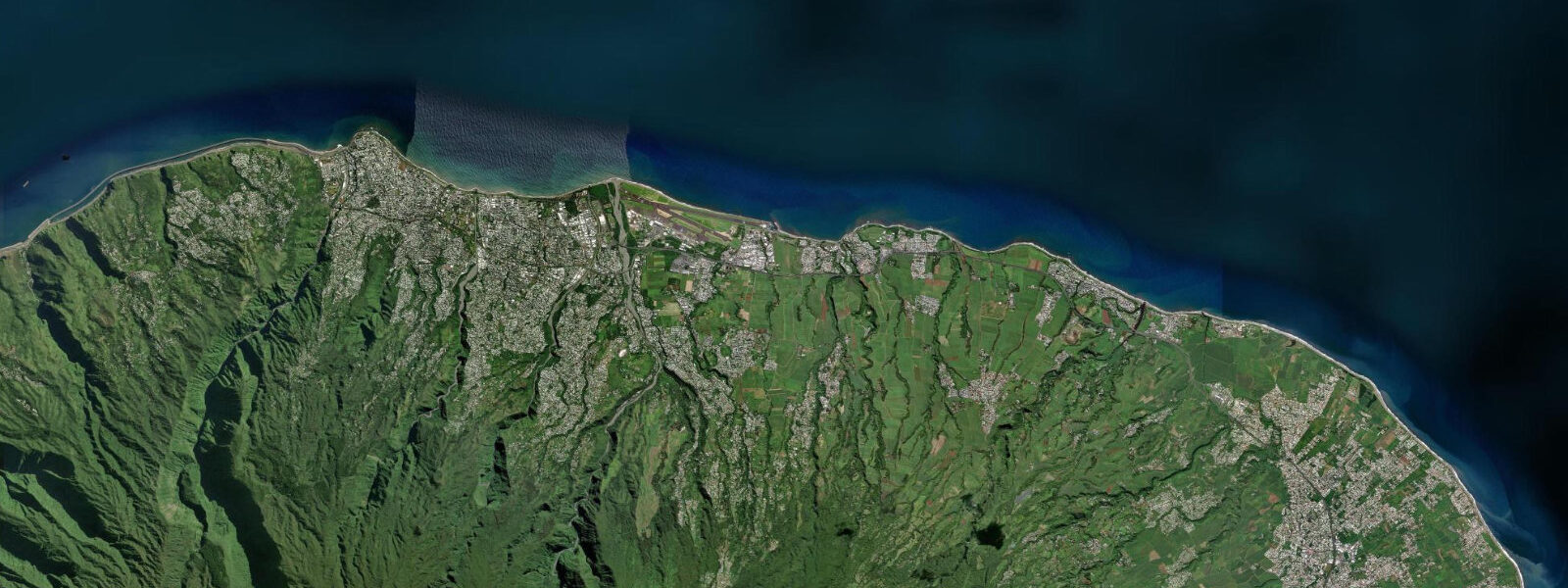
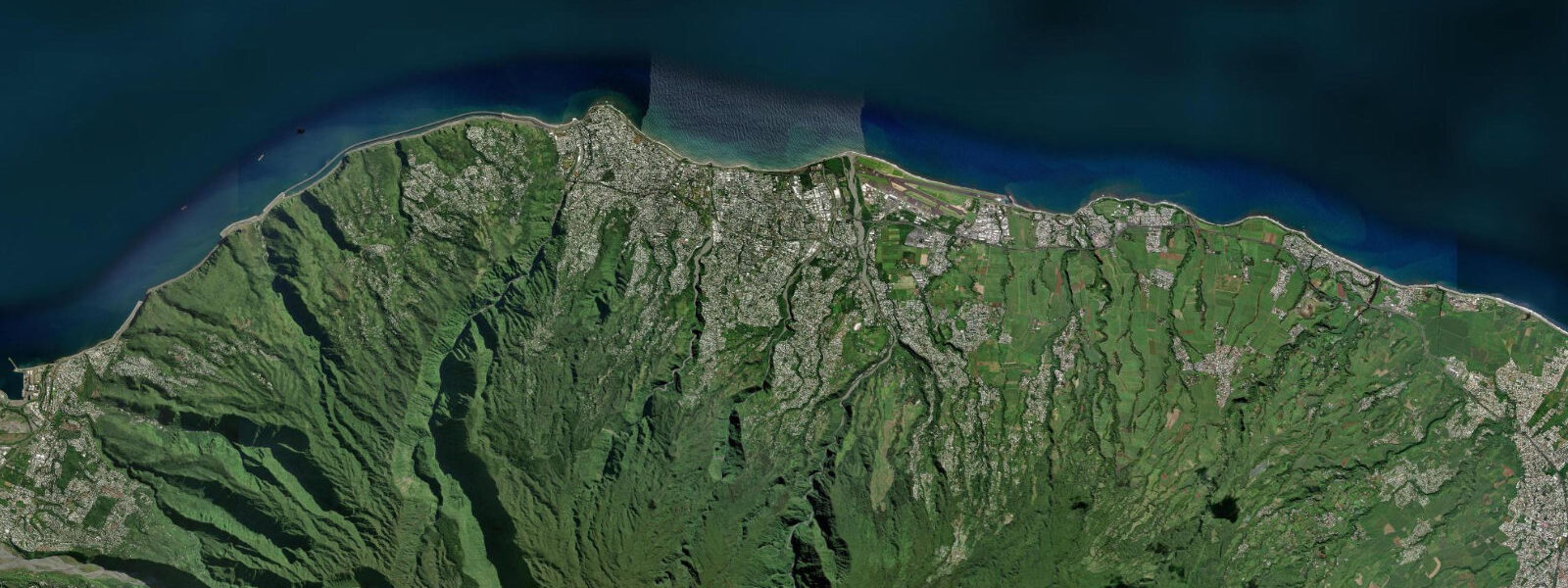
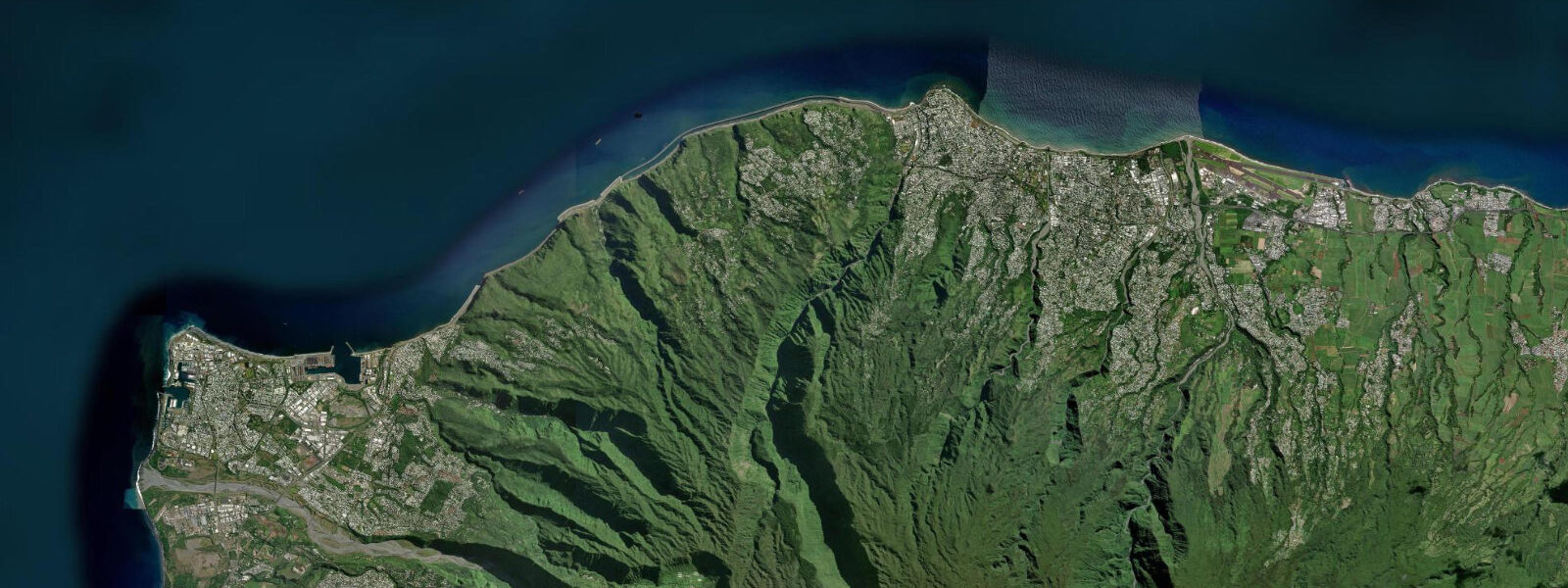
Sainte-Suzanne is a commune on the northeast coast of Réunion, 15 km east of Saint-Denis, where the Sainte-Suzanne River meets the Indian Ocean at the foot of a coastal plain backed by sugarcane fields and vanilla plantations on the lower slopes of the island's windward escarpment. The northeast coast of Réunion is the wettest face of the island — the southeast trade winds rise over the interior highlands and deposit their moisture here before descending dry on the leeward west coast. The vegetation behind the beach reflects this: dense tropical growth right down to the shoreline in places, the cane fields green year-round.
The Cascade Niagara is the attraction that draws most visitors to Sainte-Suzanne: the Sainte-Suzanne River drops in a series of falls before reaching a lower pool and then the sea through a gorge bridged by the Pont Suspendu pedestrian suspension bridge. The falls are 20 to 25 m high; the pool below is swimmable when the river flow is moderate (it floods rapidly after heavy rain in the catchment). The Pont Suspendu gives access to both banks of the gorge and is the viewpoint for the lower falls.
The Sainte-Suzanne seafront — a rocky volcanic shoreline with a small beach area near the river mouth — is the working coastal edge of the commune. The fishermen's huts (cases des pêcheurs) on the shore are used by local anglers who fish the reef edge and the river mouth for carangue, bécune (barracuda), and the bichique, the fry of indigenous gobies that make their juvenile migration up river mouths in the season from June to October. The bichique fishery at river mouths is a traditional practice in Réunion, with specific seasonal windows and methods.
The northeast coast has more direct Indian Ocean swell exposure than the north coast around Saint-Denis, as the fetch window from the southeast broadens here. The tidal regime is Indian Ocean mixed semidiurnal: mean spring range 0.8 to 1.2 m. Low water on the volcanic rock platform at Sainte-Suzanne exposes the intertidal zone — urchins, cowrie shells, and octopus in the lava pools. The river mouth shifts slightly with tidal state and river discharge: at low water and low river flow the sand bar at the river entrance is exposed; at high water the mouth is deeper and bichique migration is more active.
Cyclone season (November to April) brings the most significant wave events to the northeast coast, which is more exposed than the west coast lagoon; the Cascade Niagara pool becomes inaccessible during high-river events following cyclone rainfall. Outside cyclone season, the northeast coast is reliably sunny in the morning before cloud builds over the highlands in the afternoon.
Predictions on this page come from Open-Meteo Marine, a gridded global ocean model. Accuracy is typically within plus or minus 45 minutes on timing and 0.2 to 0.3 m on height — at Sainte-Suzanne's 0.8 to 1.2 m spring range, the height uncertainty is 20 to 30 percent of the total signal. SHOM publishes the authoritative harmonic tide tables for Réunion; the nearest reference station is Saint-Denis.
Tide questions about Sainte-Suzanne
Quick answers to the most common questions about tide times, range, and water access at Sainte-Suzanne.
When is the next high tide at Sainte-Suzanne?
The hero block at the top of this page shows the next predicted high at Sainte-Suzanne in local Réunion Time (RET, UTC+4). Sainte-Suzanne has an Indian Ocean mixed semidiurnal tide — two unequal highs and two unequal lows per day — with a spring range of 0.8 to 1.2 m. SHOM (Service Hydrographique et Océanographique de la Marine) publishes the authoritative tide tables for Réunion; the Saint-Denis gauge 15 km west is the nearest reference station.
What is the tidal range at Sainte-Suzanne?
Mean spring range at Sainte-Suzanne is 0.8 to 1.2 m. The northeast coast has no reef, so the tidal rise and fall is fully expressed on the volcanic rock platform and the river mouth. Neap range compresses to roughly 0.3 to 0.5 m. The river mouth bar shifts with tidal state: at low water the bar is more exposed and the entrance shallower; at high water the depth over the bar increases. River discharge from the Sainte-Suzanne catchment after rain events can flush the bar and temporarily deepen or redirect the mouth channel.
Where do these tide predictions come from?
Open-Meteo Marine, a free gridded global ocean model. At Sainte-Suzanne's 0.8 to 1.2 m spring range, the model's typical accuracy (plus or minus 45 minutes, 0.2 to 0.3 m) is 20 to 30 percent of the total signal. For authoritative Réunion tide data, SHOM publishes harmonic predictions for the Saint-Denis reference station. The SHOM Réunion tide tables are the standard reference for this coastline.
When is the best time to visit the Cascade Niagara and Pont Suspendu?
The Cascade Niagara falls are accessible year-round via a short walk from the Sainte-Suzanne town centre. The swimming pool below the falls is swimmable during the dry season (May to October) when river flow is moderate and stable. During cyclone season (November to April) and immediately after heavy rain in the upstream catchment, the river floods rapidly — the pool can go from swimmable to flooded within hours after a significant rain event. Check the local weather and river conditions before visiting in the wet season. The Pont Suspendu viewpoint is accessible at all river levels; swimming in the pool requires calm river conditions.
Is this safe to use for navigation?
No. TideTurtle is a planning tool for recreational coastal activity, not a navigation resource. The northeast coast of Réunion has no protected harbour; the Sainte-Suzanne river mouth is accessible only by shallow-draft vessels and the bar shifts with storm events. For navigation around Réunion, use SHOM charts and the meteorological bulletins from Météo-France La Réunion. Cyclone season warnings are mandatory planning inputs for all coastal activity on this exposed coast. Open-Meteo Marine gridded predictions do not replace authoritative navigation sources.
8-day tide table — Sainte-Suzanne
Heights relative to MSL. Predictions: Open-Meteo Marine (MeteoFrance SMOC, 0.08° grid) — heights relative to MSL (not chart datum / LAT). Model-derived.
| Day | Type | Time | Height |
|---|---|---|---|
| Sat 04 Jul | High | 04:00 | 0.8m |
| Low | 09:10 | 0.3m | |
| Sun 05 Jul | High | 03:18 | 0.8m |
| Low | 09:42 | 0.4m | |
| High | 16:06 | 0.8m | |
| Low | 22:00 | 0.5m | |
| Mon 06 Jul | High | 03:54 | 0.8m |
| Low | 10:18 | 0.4m | |
| High | 16:45 | 0.8m | |
| Low | 23:00 | 0.5m | |
| Tue 07 Jul | High | 04:45 | 0.8m |
| Low | 11:06 | 0.5m | |
| Wed 08 Jul | High | 05:50 | 0.8m |
| Low | 12:00 | 0.5m | |
| Thu 09 Jul | High | 20:10 | 0.8m |
| Fri 10 Jul | — | ||
| Sat 11 Jul | Low | 03:00 | 0.5m |