Saint-Gilles-les-Bains tide times
Saint-Gilles-les-Bains tide forecast — heights relative to MSL.
Today's tide times for Saint-Gilles-les-Bains
Tide times at Saint-Gilles-les-Bains on Sunday, 21 June 2026: first high tide at 04:00am. Sunrise 06:55am, sunset 05:46pm.
Tide chart for Saint-Gilles-les-Bains
24-hour cosine-interpolated curve around the present moment. Heights relative to MSL. Predictions: Predictions: Open-Meteo Marine (MeteoFrance SMOC, 0.08° grid).
Sun, moon and conditions on Sun 21 Jun
Snapshot at build time — refreshes daily. Sea state from Open-Meteo Marine.
Highs and lows next 7 days
Every predicted high and low for the next week, with the daily tidal coefficient (0–120; higher = bigger swing, > 95 means stronger currents).
Other spots nearby
The three closest curated TideTurtle locations to Saint-Gilles-les-Bains, measured by great-circle distance.
Today's solunar windows
Solunar tradition: major periods are the ≈3h windows around moon transit and opposition; minor are ≈2h around moonrise and moonset. Pair with the local tide stage and wind for the best read.
About tides at Saint-Gilles-les-Bains
A short guide to the coastline at Saint-Gilles-les-Bains — geography, sea state, and what the tide is actually doing under your feet.
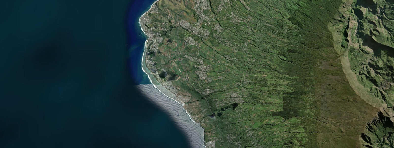
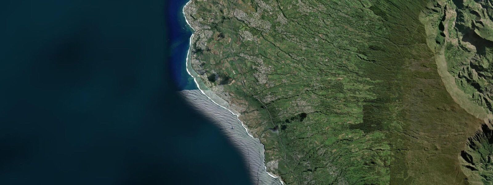
Saint-Gilles-les-Bains is Réunion's main beach resort, on the leeward western coast of the island where the fringing reef system provides the only significant stretch of protected lagoon water in a territory otherwise fully exposed to the Indian Ocean. The reef runs from roughly 500 to 800 m offshore, and the lagoon between the reef crest and the beach is the primary zone for swimming, snorkelling, boat departures, and any marine recreation that requires calm water.
The tidal regime at Saint-Gilles is semidiurnal with a spring range of approximately 0.9 m and neap range around 0.4 m. This is microtidal by global standards — a fraction of the Mozambique Channel amplitude — but the small range has disproportionate consequence on the reef flat because the inner lagoon depths are so shallow to begin with. At mean high water springs the lagoon over the seagrass and sand areas runs 1.5 to 2.5 m. At low water springs the inner reef flat drops to 0.3 to 0.5 m in the shallowest sections, and the reef crest itself is very close to or slightly exposed at the surface.
The reef crest at Saint-Gilles is the critical threshold for several activities. Snorkellers who want to swim out to the inner face of the crest need at least mid-flood — enough water to cross the crest without fin-on-coral contact. Small boat and dinghy operators launching from the beach use the same mid-flood to high water window to cross the crest and access open water. The timing of those crossings relative to the tide is something Saint-Gilles boat operators manage from experience rather than from a published protocol, but the underlying calculation is the same: 0.9 m above chart datum is sufficient; 0.3 m above chart datum is not.
Saint-Gilles marina (Port de Plaisance de Saint-Gilles) is the departure point for big-game fishing vessels and the larger dive-and-snorkel operators who run to the outer reef and deeper offshore sites. The marina entrance channel is dredged and navigable at all tidal states; the depth constraint in the basin is not tidal but is subject to the usual marina siltation dynamics. Fishing targets from the boats out of Saint-Gilles include wahoo, dorado, blue and black marlin, yellowfin tuna, and sailfish — pelagic species that range widely regardless of tidal phase in the open Indian Ocean beyond the reef.
Shark risk on the western Réunion coast is managed through the Vigie-Requin programme, which operates acoustic monitoring receivers along the lagoon and reef system. The programme issues a daily beach status for supervised beaches — the colour-coded system (green, orange, red) indicates the level of assessed risk based on receiver detection of tagged sharks in the preceding period. Water entry at supervised beaches is conditional on the daily status, which is posted at each beach and online. The status is independent of tidal state: sharks can be present at any tide, and the programme does not correlate its alerts with the tide cycle. Check the Vigie-Requin status before any water entry at Saint-Gilles.
Beach-walkers at Saint-Gilles who arrive at low water and walk south toward La Saline-les-Bains cover approximately 3 km of beach that is at its widest — 30 to 40 m of dry sand at spring low — before the casuarina-pine backed dune narrows the strand at the southern end. The beach at Saint-Gilles and La Saline is predominantly white coral sand; the low-water zone is marked by darker seagrass wrack deposited by the previous high. The Vigie-Requin daily beach status is posted at the supervised beach access points at Saint-Gilles and at La Saline; check it before entering the water regardless of tide state.
Predictions for Saint-Gilles-les-Bains come from Open-Meteo Marine, a gridded global ocean model; accuracy is typically within plus or minus 45 minutes on timing and 0.2 to 0.3 m on height above chart datum. SHOM (Service Hydrographique et Océanographique de la Marine) is the authoritative source for Réunion tide tables. These predictions are not for navigation.
Tide questions about Saint-Gilles-les-Bains
Quick answers to the most common questions about tide times, range, and water access at Saint-Gilles-les-Bains.
What is the tide range at Saint-Gilles-les-Bains?
Spring tidal range at Saint-Gilles is approximately 0.9 m; neap range is around 0.4 m. The regime is semidiurnal — two highs and two lows per day. Despite being small in absolute terms, the 0.9 m spring range has a significant effect on the inner lagoon because the reef flat is very shallow: the difference between mid-tide and low spring water can make the difference between a snorkellable reef crest and a bare rock flat. SHOM (Service Hydrographique et Océanographique de la Marine) publishes the authoritative French overseas territory tide tables, including Réunion. Predictions here come from Open-Meteo Marine, a gridded global ocean model, accurate to typically plus or minus 45 minutes on timing and 0.2 to 0.3 m on height above chart datum — at Saint-Gilles, the height uncertainty approaches the total spring range, so treat timing and height as approximate.
Is the shark risk at Saint-Gilles affected by the tide?
No. The Vigie-Requin shark monitoring programme on Réunion's western coast uses acoustic receivers to detect tagged bull sharks and tiger sharks in the lagoon and reef system, and issues a daily beach status (green, orange, or red) based on recent detections. The programme operates continuously regardless of tidal phase, and the status reflects acoustic detections — not a model of shark behaviour tied to the tide. Sharks move in and out of the monitored area at all tidal states. Water entry at supervised beaches in Saint-Gilles is conditional on the Vigie-Requin daily status, which is posted at each beach and published online by the Groupement d'Intérêt Public Requin Réunion. The tide table and the shark status are two separate planning inputs — check both before entering the water.
When can I cross the reef crest by snorkel or boat?
The reef crest at Saint-Gilles drops to 0.3 to 0.5 m of water coverage at low springs. Crossing by snorkel requires at least mid-flood — approximately 0.4 to 0.5 m of rise above the low — which brings enough depth over the crest for fin clearance without touching coral. Small boats crossing the crest need the same minimum depth. On neap tides the range is smaller (around 0.4 m total), and the crest stays slightly submerged through the cycle; on spring tides the crest nearly surfaces at low water and the crossing window is narrower and more precisely timed. The practical rule used by operators and experienced snorkellers at Saint-Gilles: check the tide table, wait for at least 30 minutes past the low before attempting the crest crossing, and plan to be back inside the lagoon before the next low.
Where do these tide predictions come from?
Tide predictions for Saint-Gilles-les-Bains come from Open-Meteo Marine, a free gridded global ocean model. The model estimates tidal height across a geographic grid. Accuracy is typically within plus or minus 45 minutes on timing and 0.2 to 0.3 m on height above chart datum. At Saint-Gilles, where the spring range is only 0.9 m, the height uncertainty of 0.2 to 0.3 m is a substantial fraction of the total range — treat both the timing and height predictions as approximate, and use them to identify the approximate tide phase rather than to compute precise depth at a specific location. SHOM (Service Hydrographique et Océanographique de la Marine) is the authoritative source for Réunion tide predictions.
What sport fishing is available from Saint-Gilles marina?
Saint-Gilles marina is the main departure point for offshore big-game fishing on Réunion's western coast. Target species include wahoo (Acanthocybium solandri), dorado (Coryphaena hippurus), yellowfin tuna (Thunnus albacares), blue marlin (Makaira nigricans), black marlin (Istiompax indica), and sailfish (Istiophorus platypterus). The fishing occurs in the open Indian Ocean beyond the reef, typically 5 to 30 km offshore, where the pelagic species are independent of tidal phase but responsive to the sub-surface temperature structure and current patterns. Several charter operators are based in the marina and run full-day and half-day trips. The best months for marlin are November through March in the warm season; wahoo and dorado are available year-round with peaks varying by year. Inshore trolling around the outer reef edge also targets trevally and barracuda in shallower water.
8-day tide table — Saint-Gilles-les-Bains
Heights relative to MSL. Predictions: Open-Meteo Marine (MeteoFrance SMOC, 0.08° grid) — heights relative to MSL (not chart datum / LAT). Model-derived.
| Day | Type | Time | Height |
|---|---|---|---|
| Sun 21 Jun | High | 04:00 | 0.7m |
| Mon 22 Jun | — | ||
| Tue 23 Jun | Low | 02:00 | 0.5m |
| Wed 24 Jun | — | ||
| Thu 25 Jun | High | 22:00 | 0.7m |
| Fri 26 Jun | Low | 05:10 | 0.4m |
| High | 11:50 | 0.6m | |
| Sat 27 Jun | Low | 05:45 | 0.3m |
| High | 23:10 | 0.7m | |
| Sun 28 Jun | Low | 03:00 | 0.5m |