Chaung Tha Beach tide times
Chaung Tha Beach tide forecast — heights relative to MSL.
Tide chart for Chaung Tha Beach
24-hour cosine-interpolated curve around the present moment. Heights relative to MSL. Predictions: Predictions: Open-Meteo Marine (MeteoFrance SMOC, 0.08° grid).
Sun, moon and conditions on Sun 21 Jun
Snapshot at build time — refreshes daily. Sea state from Open-Meteo Marine.
Highs and lows next 7 days
Every predicted high and low for the next week, with the daily tidal coefficient (0–120; higher = bigger swing, > 95 means stronger currents).
Other spots nearby
The three closest curated TideTurtle locations to Chaung Tha Beach, measured by great-circle distance.
Today's solunar windows
Solunar tradition: major periods are the ≈3h windows around moon transit and opposition; minor are ≈2h around moonrise and moonset. Pair with the local tide stage and wind for the best read.
About tides at Chaung Tha Beach
A short guide to the coastline at Chaung Tha Beach — geography, sea state, and what the tide is actually doing under your feet.
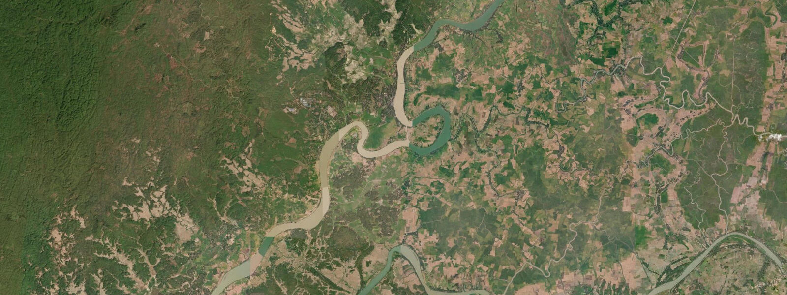
Chaung Tha Beach is a domestic beach resort on Myanmar's Irrawaddy coast, approximately 100 km southwest of Pathein (the principal city of the Ayeyarwady Division) by road. Unlike Ngapali, which is primarily visited by international travellers, Chaung Tha is a Yangon and delta-region domestic holiday destination — the beach town that Myanmar families and city workers visit for weekends and public holidays. The town built around the beach has the character of a domestic resort: guesthouses, seafood restaurants, and a long sandy beach that gets crowded at peak holiday periods.
The tidal regime at Chaung Tha is the same Bay of Bengal macrotidal pattern as the Rakhine coast further north, though on the Irrawaddy coast the range is slightly smaller. Spring range at Chaung Tha runs approximately 4.0 to 5.0 m — still clearly macrotidal by any global classification. The coast faces southwest; the beach gradient is steeper than many Southeast Asian beaches, with a pronounced step at the waterline. The combination of steep gradient and macrotidal range means the surf zone moves dramatically between low and high water: at spring low the waterline is 50 to 70 m offshore from the high-water berm; at spring high the waves break directly at the base of the sand berm.
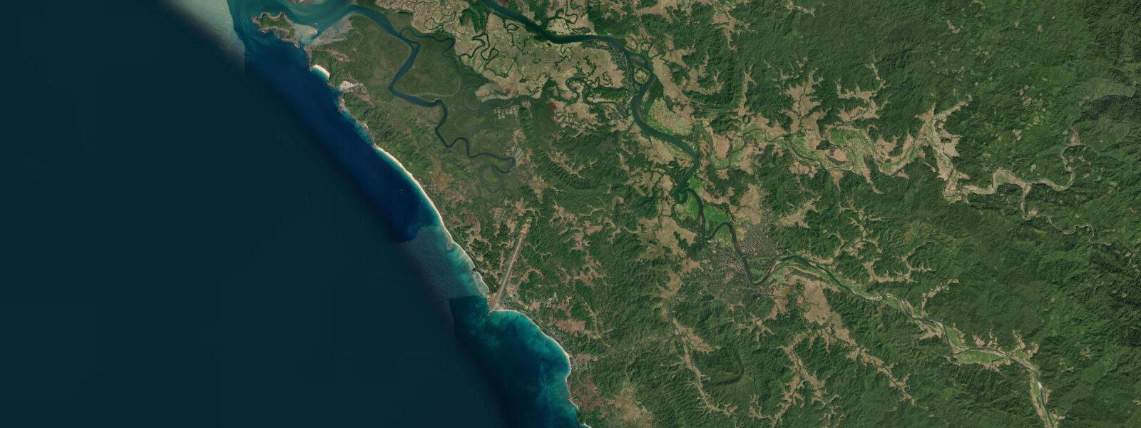
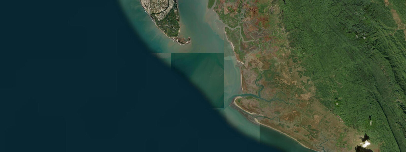
The proximity to the Irrawaddy Delta is the key factor affecting water quality at Chaung Tha. The Irrawaddy, one of Southeast Asia's major rivers, discharges an enormous sediment load through its delta channels near Pathein and Yangon. Tidal currents in the coastal zone transport this sediment offshore and then back in on the flood. Water clarity at Chaung Tha is significantly affected by this seasonal sediment cycle: at its clearest in the November to February dry season, when river discharge is at its lowest, the water can achieve visibility of several metres near the beach; during the monsoon season (May through October), when the Irrawaddy is at peak discharge, the coastal water is turbid and clarity is essentially zero.
The beach town south of Chaung Tha, Ngwe Saung (Silver Beach), has seen more resort development in recent years and now has several mid-range hotels targeted at Yangon weekenders and some international visitors. The two beaches are separated by a headland that can be crossed by the road or, on a spring low tide, by a low-water traverse around the exposed headland rocks.
Swimming safety at Chaung Tha requires attention to rip currents. The steep beach gradient and active surf line on the Bay of Bengal coast generate rip channels on the falling tide when water draining off the beach concentrates in narrow channels between sand bars. The risk is highest in the two to three hours after high water on a spring ebb. Indicators of an active rip: a gap in the wave break pattern, discoloured or choppy water in a narrow channel, foam and debris moving seaward in a concentrated stream.
Fishing is central to the Chaung Tha economy. The beach south of the resort zone has a working boat zone where flat-bottomed wooden boats are pulled above the high-water mark between trips. The most active period on the beach is the early morning return, when boats beach at low tide and the catch is sorted and sold before the heat of the day. The tidal timing of this activity shifts through the lunar month as the low-water period rotates through the morning and afternoon hours.
Predictions on this page come from Open-Meteo Marine, a gridded global ocean model; accuracy is typically within plus or minus 45 minutes on timing and 0.2 to 0.3 m on height. The Myanmar Meteorological and Hydrological Institute (MMHI) is the national authority for Myanmar tide predictions and marine weather forecasts.
Tide questions about Chaung Tha Beach
Quick answers to the most common questions about tide times, range, and water access at Chaung Tha Beach.
When is the next high tide at Chaung Tha Beach?
The hero block at the top of this page shows the next predicted high at Chaung Tha Beach in local Myanmar Standard Time (MMT, UTC+6:30, no daylight saving). Spring range here is approximately 4.0 to 5.0 m — macrotidal, and similar in character to the Rakhine coast at Ngapali though slightly smaller in absolute range. Two tides per day, with the standard spring-neap variation across the lunar month giving the largest ranges around new and full moons and the smallest around the quarter moons. The Myanmar Meteorological and Hydrological Institute (MMHI) is the national authority for Myanmar tide and marine weather data.
Is the water clear for swimming at Chaung Tha?
Water clarity at Chaung Tha is highly seasonal and controlled primarily by the Irrawaddy River discharge rather than the tidal cycle. In the dry season (November through February) with low river discharge, the coast can achieve visibility of several metres near the beach and swimming is comfortable. During the southwest monsoon (May through October), the Irrawaddy Delta at maximum flood pushes sediment-laden brown water along the coast and clarity drops to near-zero; swimming is physically safe in calm conditions but the water is opaque. The tidal stage within a given day does not significantly improve or worsen this picture — the sediment load from the delta is the overriding factor. For reliable clear water, plan a visit in December or January.
What are the rip current risks at Chaung Tha?
Chaung Tha has a steep beach gradient and an active surf line typical of the Bay of Bengal coast. Rip currents form on the falling tide when water piling up on the beach from breaking waves concentrates into narrow drainage channels between sandbars. The risk is highest in the two to three hours after high water on spring ebbs, particularly during onshore wind conditions. Indicators of an active rip channel include: a gap in the breaking wave line, discoloured or choppy water in a narrow channel, foam and debris moving steadily seaward. If caught in a rip, swim parallel to the beach to exit the channel rather than against the current, then swim back to shore at an angle. Avoid swimming alone.
How does Chaung Tha compare to Ngapali?
Both beaches are on Myanmar's Bay of Bengal coast with similar macrotidal ranges (4.0 to 5.5 m spring), southwest exposure, and the same monsoon seasonality. The key differences are audience and infrastructure: Ngapali is oriented toward international visitors with mid-range to upscale resort hotels and direct domestic flights from Yangon; Chaung Tha is a domestic resort town with guesthouses and seafood restaurants at a price level suited to Myanmar families and city weekenders. Water clarity at Chaung Tha is more affected by Irrawaddy Delta sediment than at Ngapali, which sits further from the delta's direct influence. Ngwe Saung Beach, roughly 30 km south of Chaung Tha, offers a middle ground with some international-grade development.
Where do these tide predictions come from?
Open-Meteo Marine, a gridded global ocean model. Accuracy is typically within plus or minus 45 minutes on timing and 0.2 to 0.3 m on height. At Chaung Tha's spring range of 4.0 to 5.0 m, the proportional height uncertainty is manageable, but the timing uncertainty of up to 45 minutes is significant for planning around the specific low-water window on a steep macrotidal beach — and for timing a safe departure from the exposed reef shelf at the headlands. The Myanmar Meteorological and Hydrological Institute (MMHI) is the national authority for Myanmar tide data and issues the monsoon and marine weather forecasts for the Bay of Bengal coast.
0-day tide table — Chaung Tha Beach
Heights relative to MSL. Predictions: Open-Meteo Marine (MeteoFrance SMOC, 0.08° grid) — heights relative to MSL (not chart datum / LAT). Model-derived.
| Day | Type | Time | Height |
|---|