Ngapali Beach tide times
Ngapali Beach tide forecast — heights relative to MSL.
Today's tide times for Ngapali Beach
Tide times at Ngapali Beach on Sunday, 21 June 2026: first low tide at 07:23am, first high tide at 01:37pm, second low tide at 08:06pm. Sunrise 05:37am, sunset 06:51pm.
Tide chart for Ngapali Beach
24-hour cosine-interpolated curve around the present moment. Heights relative to MSL. Predictions: Predictions: Open-Meteo Marine (MeteoFrance SMOC, 0.08° grid).
Sun, moon and conditions on Sun 21 Jun
Snapshot at build time — refreshes daily. Sea state from Open-Meteo Marine.
Highs and lows next 7 days
Every predicted high and low for the next week, with the daily tidal coefficient (0–120; higher = bigger swing, > 95 means stronger currents).
Other spots nearby
The three closest curated TideTurtle locations to Ngapali Beach, measured by great-circle distance.
Today's solunar windows
Solunar tradition: major periods are the ≈3h windows around moon transit and opposition; minor are ≈2h around moonrise and moonset. Pair with the local tide stage and wind for the best read.
Cycle dates near Ngapali Beach
Last spring tide on Sun 21 Jun (range 1.5m). Next spring tide on Sat 27 Jun (range 1.5m). Next neap on Tue 23 Jun.
Spring tides cluster around new and full moons (biggest swings). Neap tides land on quarter moons (smallest swings). See the spring tide and neap tide glossary entries for the why.
About tides at Ngapali Beach
A short guide to the coastline at Ngapali Beach — geography, sea state, and what the tide is actually doing under your feet.
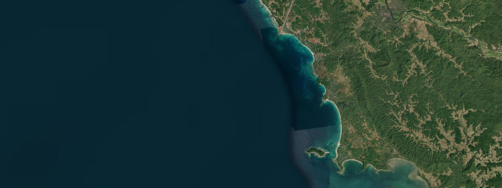
Ngapali Beach is a 3 km crescent of white sand on the Bay of Bengal coast of Myanmar's Rakhine State, approximately 480 km northwest of Yangon by air. Backed by a line of coconut palms and fronted by clear green water in the November-to-April dry season, it is Myanmar's best-known beach resort and the destination that established the country's international beach tourism. The resort strip runs the length of the crescent; beyond the resort zone at both ends, the bay continues into the fishing villages of Jade Taw (south) and Lin Thar (north), where traditional wooden boats are moored or beached according to the tide.
The tidal regime at Ngapali is defined by its macrotidal scale. The Bay of Bengal's funnel geometry amplifies the semidiurnal tidal signal on its northern shores, and the Rakhine coast at Ngapali sees spring tidal ranges of approximately 4.5 to 5.5 m. Two tides per day, with diurnal inequality (one higher high, one lower high, and the corresponding pair of lows), cycling through the spring-neap variation across each lunar month. The practical effect of a 5 m range is dramatic: at spring low water, 60 to 80 m of additional sandy beach exposes between the mean high-water line and the receding water's edge; at spring high water, the sea reaches the palm tree line at the back of the beach. The character of the beach transforms completely between morning and afternoon, or between a neap high and a spring low.
The fishing villages at either end of the bay operate on a tidal cycle that is immediately visible to anyone watching the beach. Traditional wooden boats — paddled and sailed — are launched at mid-tide on the flood and return on the ebb to beach at low water for morning maintenance, net repair, and offloading catch. The tidal flat that exposes in front of Lin Thar village at spring low is several hundred metres wide; the same flat that carries anchored boats at high water is walkable firm sand at low tide.
Snorkelling from the central beach is possible on the reef patches offshore, but the combination of depth change and tidal current makes timing relevant. The most productive snorkelling window is around low-to-mid incoming tide on calm mornings in the dry season: clarity is best before the afternoon onshore breeze builds, the reef patches sit at intermediate depth, and the current is weakest at the change of tide. At high water the reef is too deep to access for casual snorkellers.
Thandwe Airport, 8 km inland, serves domestic flights from Yangon and Mandalay. The road from the airport to the beach crosses low ground that can flood during the southwest monsoon. The monsoon season (May through October) brings heavy rain, rough Bay of Bengal seas, and reduced operating hours at the resorts; most international visitors target the November-to-April dry-season window when conditions are at their best.
Resorts at Ngapali range from small locally owned guesthouses near the village ends of the bay to larger mid-range beach hotels in the central strip. The quality of water visibility and sea-state conditions varies considerably depending on whether a visitor arrives in December, when the dry season is fully established, or in late October, when residual monsoon swell and patchy rain still affect the coast. December through February is the most reliable window for the flattest sea state and the best snorkelling conditions.
Predictions on this page come from Open-Meteo Marine, a gridded global ocean model; accuracy is typically within plus or minus 45 minutes on timing and 0.2 to 0.3 m on height. Given Ngapali's 4.5 to 5.5 m spring range, the timing uncertainty matters most for planning around the specific moment of high or low water — the general pattern is well-estimated by the model. The Myanmar Meteorological and Hydrological Institute (MMHI) is the authoritative source for Myanmar tide predictions and marine weather forecasts.
Tide questions about Ngapali Beach
Quick answers to the most common questions about tide times, range, and water access at Ngapali Beach.
When is the next high tide at Ngapali Beach?
The hero block at the top of this page shows the next predicted high at Ngapali Beach in local Myanmar Standard Time (MMT, UTC+6:30, no daylight saving). With a spring range of 4.5 to 5.5 m and a semidiurnal pattern of two highs and two lows per day, the tide at Ngapali moves the waterline by 60 to 80 m between high and low water on spring-tide days — enough that the time of arrival significantly affects the initial impression of the beach. On neap tides (around the quarter moons) the range compresses to approximately 2.5 to 3.0 m. The Myanmar Meteorological and Hydrological Institute (MMHI) is the national authority for Myanmar tide predictions and marine weather forecasts.
What is the tidal range at Ngapali and why is it so large?
Spring range at Ngapali is approximately 4.5 to 5.5 m — macrotidal by international classification. The Bay of Bengal has a funnel-shaped geometry that amplifies the semidiurnal tidal signal toward its northern end; the Rakhine coast sits in the zone of significant amplification on the bay's eastern flank. Two tides per day with diurnal inequality — one higher and one lower high tide each day — and the spring-neap variation swings the range from roughly 5.5 m at spring (new and full moon) to about 2.5 to 3.0 m at neap (quarter moon). The spring low exposes 60 to 80 m of beach sand not visible at high water, transforming the visual character of the bay entirely.
When is the best time of day to be on the beach at Ngapali?
The widest beach — most sand, most space — is at spring low water, roughly one to two hours either side of the predicted low when the range is 4.0 m or more. Early mornings on a spring low in the November-to-April dry season give the full beach width, low-angle light, and minimal wind. At spring high water the sea reaches the palm tree line and the sandy beach is largely submerged. Check the 7-day tide table on this page to identify which mornings have low water at a convenient time before arrival. At neap tides the beach is intermediate in width throughout the day and the variation is less extreme.
Can I snorkel from the beach at Ngapali?
Yes, on the reef patches offshore from the central beach in the dry season (November through April), but timing matters considerably. The most useful window is low-to-mid incoming tide on a calm morning: reef patches are at intermediate depth and accessible without strong fins, tidal current is at its weakest near the change of tide, and morning light gives the best visibility before the afternoon onshore breeze raises chop. At high water the reef is deeper and the flood-tide current can push a snorkeller off the patch quickly. The southwest monsoon (May through October) brings reduced visibility and rough Bay of Bengal conditions; most snorkelling activity stops during this period and is not safe for casual snorkellers.
Where do these tide predictions come from?
Open-Meteo Marine, a gridded global ocean model. The model estimates tidal height from oceanographic equations applied across a geographic grid rather than from harmonic analysis of a dedicated Myanmar gauge at Ngapali. Accuracy is typically within plus or minus 45 minutes on timing and 0.2 to 0.3 m on height. At Ngapali's spring range of 4.5 to 5.5 m, the height uncertainty is a smaller proportional fraction of the total signal than on a microtidal coast, but the timing uncertainty of up to 45 minutes matters for planning activity around the specific low-water window. The Myanmar Meteorological and Hydrological Institute (MMHI) is the national authority for Myanmar tide data and issues the authoritative marine weather forecasts for the Bay of Bengal coast.
8-day tide table — Ngapali Beach
Heights relative to MSL. Predictions: Open-Meteo Marine (MeteoFrance SMOC, 0.08° grid) — heights relative to MSL (not chart datum / LAT). Model-derived.
| Day | Type | Time | Height |
|---|---|---|---|
| Sun 21 Jun | Low | 07:23 | 0.1m |
| High | 13:37 | 1.5m | |
| Low | 20:06 | -0.0m | |
| Mon 22 Jun | High | 02:26 | 1.3m |
| Low | 08:25 | 0.3m | |
| High | 14:31 | 1.4m | |
| Tue 23 Jun | Low | 09:34 | 0.4m |
| Wed 24 Jun | High | 04:32 | 1.3m |
| Low | 10:46 | 0.4m | |
| High | 16:36 | 1.1m | |
| Low | 22:55 | 0.1m | |
| Thu 25 Jun | High | 05:34 | 1.3m |
| Low | 11:51 | 0.3m | |
| High | 17:43 | 1.1m | |
| Low | 23:52 | 0.1m | |
| Fri 26 Jun | High | 06:30 | 1.4m |
| Low | 12:51 | 0.2m | |
| High | 18:36 | 1.1m | |
| Sat 27 Jun | Low | 00:42 | 0.0m |
| High | 07:15 | 1.5m | |
| Low | 13:35 | 0.1m | |
| High | 19:22 | 1.1m | |
| Sun 28 Jun | Low | 01:23 | -0.1m |
| High | 05:30 | 1.0m |