Saint-Nazaire tide times
Saint-Nazaire tide forecast — heights relative to MSL.
Today's tide times for Saint-Nazaire
Tide times at Saint-Nazaire on Sunday, 21 June 2026: first high tide at 02:00, first low tide at 03:41, second high tide at 10:40, second low tide at 16:01, third high tide at 22:53. Sunrise 06:12, sunset 22:08.
Tide chart for Saint-Nazaire
24-hour cosine-interpolated curve around the present moment. Heights relative to MSL. Predictions: Predictions: Open-Meteo Marine (MeteoFrance SMOC, 0.08° grid).
Sun, moon and conditions on Sun 21 Jun
Snapshot at build time — refreshes daily. Sea state from Open-Meteo Marine.
Highs and lows next 7 days
Every predicted high and low for the next week, with the daily tidal coefficient (0–120; higher = bigger swing, > 95 means stronger currents).
Other spots nearby
The three closest curated TideTurtle locations to Saint-Nazaire, measured by great-circle distance.
Today's solunar windows
Solunar tradition: major periods are the ≈3h windows around moon transit and opposition; minor are ≈2h around moonrise and moonset. Pair with the local tide stage and wind for the best read.
Cycle dates near Saint-Nazaire
Last spring tide on Sun 21 Jun (range 3.3m). Next spring tide on Sat 27 Jun (range 2.8m). Next neap on Wed 24 Jun.
Spring tides cluster around new and full moons (biggest swings). Neap tides land on quarter moons (smallest swings). See the spring tide and neap tide glossary entries for the why.
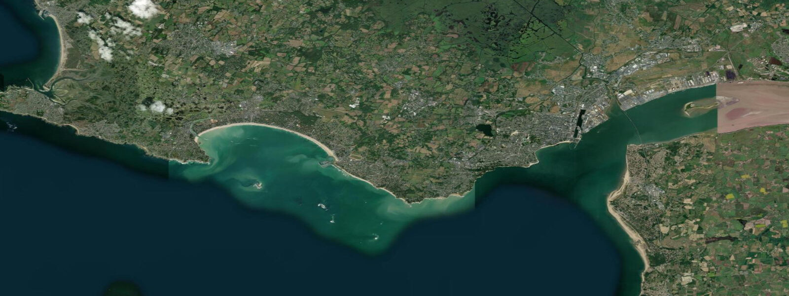
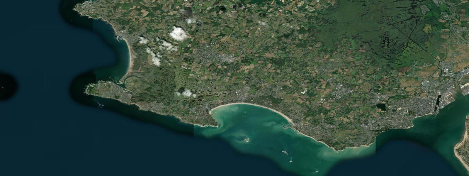
About tides at Saint-Nazaire
A short guide to the coastline at Saint-Nazaire — geography, sea state, and what the tide is actually doing under your feet.
Saint-Nazaire sits at the mouth of the Loire estuary where the river finally opens into the Atlantic — and the tides here mean business. The mean tidal range is approximately 4.5 metres at the SHOM reference gauge, with spring tides pushing the range to 5.5 m or more. High water can reach 5.3 m above chart datum on the biggest spring tides; low water exposes the full estuary mud and sandbanks to the horizon.
These are semidiurnal tides — two highs and two lows per 24 hours, each offset by about 50 minutes from the previous day. The tidal curve here is relatively symmetrical, with the flood and ebb each taking roughly 6 hours, though the ebb runs slightly longer as freshwater discharge from the Loire extends the outgoing flow.
The Loire carries tidal influence 60–80 km upstream from Saint-Nazaire. River levels at Nantes, 55 km inland, rise and fall with the tide. This has shaped the city's industrial history: Chantiers de l'Atlantique, the shipyard that built the Queen Mary 2, MSC Meraviglia, and France's nuclear aircraft carrier Charles de Gaulle, must schedule every completed vessel's departure to coincide with sufficient tidal depth in the dredged channel. The channel depth is maintained but the tide still sets the departure window.
The WWII submarine pens — Base Sous-Marine de Saint-Nazaire — stand directly on the tidal waterfront in the old dock basin. The reinforced concrete structure that sheltered German U-boats is now a cultural centre and museum; at low water, the scale of the dry dock infrastructure becomes fully visible from the quayside. The Saint-Nazaire Bridge (Pont de Saint-Nazaire), opened in 1975 and at 3.4 km one of France's longest bridges, spans the estuary 60 metres above mean high water — chosen high enough to clear the largest vessels Chantiers de l'Atlantique can build.
For recreational users: the tidal currents in the main channel run at 2–3 knots on spring ebb, enough to require attention for kayakers and small craft. The beach at Saint-Marc-sur-Mer, a few kilometres west, emerges fully at low water across a wide flat — the same beach where Jacques Tati filmed Monsieur Hulot's Holiday in 1953.
Tide predictions are generated from Open-Meteo Marine data (accuracy ±45 minutes, ±0.2–0.3 m). For navigation in the Loire channel, always verify with official SHOM tables or Navicarte charts.
Tide questions about Saint-Nazaire
Quick answers to the most common questions about tide times, range, and water access at Saint-Nazaire.
What is the tidal range at Saint-Nazaire?
Mean tidal range at Saint-Nazaire is approximately 4.5 metres, referred to Coteaux du Layon datum. Spring tides extend the range to around 5.5 metres — high water can reach 5.3 m above chart datum and low water exposes extensive estuary sandbanks. These are among the larger macrotidal ranges on the French Atlantic coast, driven by the Loire estuary's funnel geometry amplifying the incoming Atlantic tide.
How far upstream does the tide reach in the Loire?
Tidal influence in the Loire extends 60–80 km upstream from Saint-Nazaire. At Nantes (approximately 55 km from the mouth), the river still registers a tidal oscillation of around 0.8–1.0 m on spring tides. The tidal limit shifts seasonally depending on river discharge — high winter flows push the effective tidal influence closer to Saint-Nazaire; summer low flows allow the tide to penetrate further inland.
Can I swim at Saint-Marc-sur-Mer at low tide?
At low water, the beach at Saint-Marc-sur-Mer (4 km west of the town centre) exposes a wide, flat sandy strand — firm underfoot and excellent for walking. Swimming is perfectly feasible around mid-tide when water depth is sufficient, but the tidal flat extends several hundred metres at low water and the returning flood moves quickly. Check the tide times and plan to be back on the upper beach before the flood reaches its steepest rate, roughly 2–3 hours after low water.
When is the best time to visit the submarine pens?
The Base Sous-Marine museum is open year-round, independent of tides. However, visiting at low water adds context: the dry dock infrastructure and the scale of the original basin become visible from the quayside in a way that high water obscures. Low water at Saint-Nazaire occurs twice daily and can happen at any time — check the tide table for the day. Spring and summer low tides that coincide with afternoon light give the best visibility of the waterfront.
Navigation disclaimer — where do I get official tide data for the Loire?
Tide predictions on this page are generated from Open-Meteo Marine models and carry an accuracy of approximately ±45 minutes and ±0.2–0.3 m. For navigation in the Loire estuary, harbour entry, or any safety-critical application, use official data from SHOM (Service Hydrographique et Océanographique de la Marine) at shom.fr, or consult current-edition Navicarte charts. SHOM maintains the Saint-Nazaire reference gauge and publishes annually validated tide tables. Do not use this page as a substitute for official sources when vessel safety is at stake.
8-day tide table — Saint-Nazaire
Heights relative to MSL. Predictions: Open-Meteo Marine (MeteoFrance SMOC, 0.08° grid) — heights relative to MSL (not chart datum / LAT). Model-derived.
| Day | Type | Time | Height |
|---|---|---|---|
| Sun 21 Jun | High | 02:00 | -1.5m |
| Low | 03:41 | -2.4m | |
| High | 10:40 | 0.8m | |
| Low | 16:01 | -2.0m | |
| High | 22:53 | 1.0m | |
| Mon 22 Jun | Low | 04:37 | -2.0m |
| High | 11:37 | 0.7m | |
| Low | 17:03 | -1.8m | |
| High | 23:50 | 0.8m | |
| Tue 23 Jun | Low | 05:39 | -1.8m |
| High | 12:33 | 0.6m | |
| Low | 18:08 | -1.6m | |
| Wed 24 Jun | High | 00:53 | 0.6m |
| Low | 06:42 | -1.7m | |
| High | 13:40 | 0.6m | |
| Low | 19:14 | -1.6m | |
| Thu 25 Jun | High | 02:06 | 0.6m |
| Low | 07:42 | -1.6m | |
| High | 14:37 | 0.7m | |
| Low | 20:12 | -1.6m | |
| Fri 26 Jun | High | 03:03 | 0.6m |
| Low | 08:38 | -1.7m | |
| High | 15:33 | 0.8m | |
| Low | 21:05 | -1.8m | |
| Sat 27 Jun | High | 03:45 | 0.7m |
| Low | 09:26 | -1.9m | |
| High | 15:54 | 0.8m | |
| Low | 21:53 | -2.0m | |
| Sun 28 Jun | High | 01:00 | -0.1m |