Porlamar, Margarita Island tide times
Porlamar, Margarita Island tide forecast — heights relative to MSL.
Today's tide times for Porlamar, Margarita Island
Tide times at Porlamar, Margarita Island on Saturday, 4 July 2026: first high tide at 03:10am, first low tide at 12:10pm, second high tide at 06:50pm, second low tide at 09:50pm. Sunrise 05:57am, sunset 06:42pm.
Tide chart for Porlamar, Margarita Island
24-hour cosine-interpolated curve around the present moment. Heights relative to MSL. Predictions: Predictions: Open-Meteo Marine (MeteoFrance SMOC, 0.08° grid).
Sun, moon and conditions on Sat 04 Jul
Snapshot at build time — refreshes daily. Sea state from Open-Meteo Marine.
Highs and lows next 7 days
Every predicted high and low for the next week, with the daily tidal coefficient (0–120; higher = bigger swing, > 95 means stronger currents).
Other spots nearby
The three closest curated TideTurtle locations to Porlamar, Margarita Island, measured by great-circle distance.
Today's solunar windows
Solunar tradition: major periods are the ≈3h windows around moon transit and opposition; minor are ≈2h around moonrise and moonset. Pair with the local tide stage and wind for the best read.
Cycle dates near Porlamar, Margarita Island
Last spring tide on Fri 03 Jul (range 0.4m). Next spring tide on Thu 09 Jul (range 0.5m). Next neap on Tue 07 Jul.
Spring tides cluster around new and full moons (biggest swings). Neap tides land on quarter moons (smallest swings). See the spring tide and neap tide glossary entries for the why.
About tides at Porlamar, Margarita Island
A short guide to the coastline at Porlamar, Margarita Island — geography, sea state, and what the tide is actually doing under your feet.
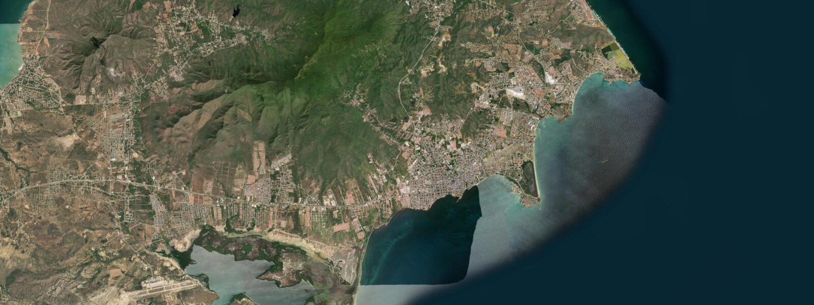
Porlamar is Margarita Island's commercial capital, occupying the southeastern bay of Isla de Margarita. The Bahía de Porlamar is where the principal ferry terminal sits, connecting the island to the mainland ports of Cumaná and Puerto La Cruz. The city is Venezuela's duty-free shopping zone, which historically drove a dense concentration of retail, hotels, and restaurants along the seafront and the main shopping streets inland. The waterfront Malecón runs for 2 km along the bay, with the ferry dock at its eastern end and the marina facilities west of the commercial centre.
The tidal pattern is microtidal Caribbean: spring range 20–40 cm, mixed semidiurnal with diurnal inequality. Open-Meteo Marine provides the forecast data — timing accuracy ±45 minutes, height accuracy ±0.2–0.3 m. The sheltered bay geometry reduces wave action significantly from the open coast, making Porlamar Bay one of the calmer stretches of water-accessible coastline on the island.
For anglers, the Porlamar waterfront and the rocky points bracketing the bay offer accessible urban fishing. The outer rocks at the eastern and western ends of the Malecón hold snapper, small grouper, and jack crevalle. Fishing from the ferry dock approach (outside of operational hours) targets the same species over the deeper harbour substrate. Boat charters depart from the marina for offshore pelagic work — the north coast of Margarita drops quickly to deep water and holds wahoo, mahimahi, and sailfish.
Kayakers can launch from the beach sections of the bay for a sheltered circuit of the bay perimeter, including a paddle south toward the narrow canal separating Margarita from the smaller Isla Coche. The bay is protected enough to paddle comfortably in the morning before trade winds build — typically before 10 am. The afternoon northeast trades create chop that makes the bay unpleasant for recreational paddling.
Beach families use Playa El Morro and Playa Moreno, small urban beaches at the western end of the Malecón with calm water and some basic facilities. These are secondary options compared to the island's northern beaches like Playa El Agua, but they're useful for a quick dip within the city. Porlamar's main value for families is logistics — accommodation, restaurants, and ferry access — rather than beach quality.
Photographers working the waterfront at dusk get the ferry terminal illuminated against the darkening bay, with the low eastern hills as a backdrop. The morning light on the calm bay before the wind picks up produces clean reflections. The commercial chaos of the duty-free shopping streets and the ferry arrivals provide strong urban documentary material.
Tide questions about Porlamar, Margarita Island
Quick answers to the most common questions about tide times, range, and water access at Porlamar, Margarita Island.
What ferry services operate from Porlamar to the mainland?
Ferries from the Porlamar terminal serve Cumaná and Puerto La Cruz on the mainland. Crossing time to Cumaná is approximately 3–4 hours; Puerto La Cruz is slightly longer. Multiple operators have served this route historically, though schedules, operators, and reliability shift with fuel availability and economic conditions in Venezuela. Verify current schedules directly with operators or your accommodation on the island before travel — information from travel guides is frequently outdated. The terminal is at the eastern end of the Malecón, accessible by taxi from anywhere on the island. The ferry crossing can be rough when the northeast trades are strong, particularly in the January–April peak wind season.
What is the tidal range at Porlamar Bay?
Spring tidal range is 20–40 cm — microtidal with mixed semidiurnal character and irregular diurnal inequality meaning the two daily tides are not equal in height. Open-Meteo Marine provides forecast data with ±45-minute timing accuracy and ±0.2–0.3 m height accuracy. The sheltered bay geometry doesn't amplify or significantly modify the open-coast tidal signal. The small range means the bay beach width doesn't change materially between low and high water. Wind-driven water level setup from the northeast trades is a more significant short-term variable for water level at the beach than the astronomical tide.
What offshore fishing is available from Porlamar?
The north coast of Margarita Island transitions quickly to deep Caribbean water, and the marina at Porlamar is the main departure point for offshore charters. Wahoo, mahimahi (dorado), and sailfish are the primary target species. The best offshore fishing season is December through May when the trades push bait concentrations along the island's northern shelf edge. Yellowfin tuna are occasionally taken further offshore in the same season. Spanish mackerel, kingfish, and jack run closer to the island year-round. Charter boat availability fluctuates with Venezuela's economic conditions — arrange through your hotel or enquire at the marina directly on arrival.
What are the best beaches accessible from Porlamar?
Playa El Agua on the north coast is Margarita's most celebrated beach — a 4-km crescent of white sand with steady trade winds, clear water, and full facilities (restaurants, umbrellas, parking). It's 25 km from Porlamar by road, roughly 30 minutes. Playa El Yaque on the south coast, 10 km from Porlamar, is the kitesurfing hub. Playa Caribe and Playa Parguito on the northeast coast offer more exposed Atlantic conditions for experienced swimmers and bodyboarders. The urban beaches within Porlamar Bay are calm but grey-sand and modestly equipped compared to the island's best options — they work for a quick swim but are not destination beaches.
Is Porlamar safe for visitors in current conditions?
Security conditions in Venezuela, including Margarita Island, require careful pre-travel research using current foreign ministry advisories from your country of origin — conditions change and general travel intelligence from this page cannot substitute for real-time consular information. Margarita has historically maintained a more stable tourism environment than the mainland, partly due to the island's economic dependence on visitors and duty-free commerce, but this should be verified against current advisories. Take standard precautions for urban waterfront areas: don't carry valuables visibly, use pre-arranged transport rather than hailing taxis from the street, and keep hotel recommendations for trustworthy operators.
7-day tide table — Porlamar, Margarita Island
Heights relative to MSL. Predictions: Open-Meteo Marine (MeteoFrance SMOC, 0.08° grid) — heights relative to MSL (not chart datum / LAT). Model-derived.
| Day | Type | Time | Height |
|---|---|---|---|
| Sat 04 Jul | High | 03:10 | 0.1m |
| Low | 12:10 | -0.3m | |
| High | 18:50 | 0.0m | |
| Low | 21:50 | -0.1m | |
| Sun 05 Jul | High | 03:54 | 0.1m |
| Low | 18:00 | -0.0m | |
| High | 19:00 | 0.0m | |
| Mon 06 Jul | Low | 11:00 | -0.3m |
| High | 19:50 | 0.0m | |
| Tue 07 Jul | Low | 02:54 | -0.1m |
| High | 05:18 | -0.0m | |
| Low | 11:20 | -0.2m | |
| High | 19:00 | 0.1m | |
| Wed 08 Jul | Low | 04:00 | -0.2m |
| High | 09:10 | -0.1m | |
| Low | 12:00 | -0.2m | |
| High | 20:50 | 0.1m | |
| Thu 09 Jul | Low | 05:10 | -0.3m |
| High | 10:10 | -0.2m | |
| Low | 12:40 | -0.2m | |
| High | 21:00 | 0.2m | |
| Fri 10 Jul | Low | 05:55 | -0.3m |
| High | 19:00 | 0.1m |