Porlamar, Isla Margarita tide times
Porlamar, Isla Margarita tide forecast — heights relative to MSL.
Tide chart for Porlamar, Isla Margarita
24-hour cosine-interpolated curve around the present moment. Heights relative to MSL. Predictions: Predictions: Open-Meteo Marine (MeteoFrance SMOC, 0.08° grid).
Sun, moon and conditions on Sat 27 Jun
Snapshot at build time — refreshes daily. Sea state from Open-Meteo Marine.
Highs and lows next 7 days
Every predicted high and low for the next week, with the daily tidal coefficient (0–120; higher = bigger swing, > 95 means stronger currents).
Other spots nearby
The three closest curated TideTurtle locations to Porlamar, Isla Margarita, measured by great-circle distance.
Today's solunar windows
Solunar tradition: major periods are the ≈3h windows around moon transit and opposition; minor are ≈2h around moonrise and moonset. Pair with the local tide stage and wind for the best read.
Cycle dates near Porlamar, Isla Margarita
Next spring tide on Sun 28 Jun (range 0.5m). Next neap on Sat 27 Jun.
Spring tides cluster around new and full moons (biggest swings). Neap tides land on quarter moons (smallest swings). See the spring tide and neap tide glossary entries for the why.
About tides at Porlamar, Isla Margarita
A short guide to the coastline at Porlamar, Isla Margarita — geography, sea state, and what the tide is actually doing under your feet.
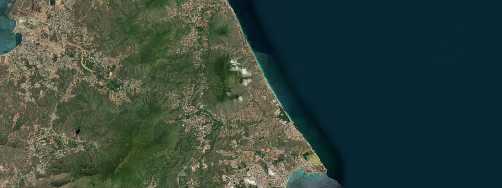
Porlamar is the main commercial town on Isla Margarita, Venezuela's largest offshore island, sitting 30 km north of the mainland Sucre coast in the eastern Caribbean. The island's name comes from the Greek for pearl, and Margarita's offshore waters were the most productive pearl-oyster grounds in the Americas when the Spanish arrived in the 16th century. The pearl trade funded some of the earliest European colonial infrastructure in South America before overharvesting collapsed the fishery by the 17th century. Today Margarita's economy runs on tourism and its free-trade zone status — duty-free shopping brings domestic Venezuelan visitors, and Porlamar's commercial centre has a density of shops, restaurants, and nightlife unusual for a Caribbean island town.
The tidal regime at Porlamar is mixed semidiurnal with a spring range of approximately 0.3–0.4 m above Chart Datum. Isla Margarita's position in the eastern Caribbean places it in the same microtidal regime as mainland Venezuela, with diurnal inequality that can produce one dominant high and one dominant low per day during certain lunar phases. The trade wind from the northeast — steady and consistent for most of the year except during the October–November season transition — drives the dominant sea-state variable. Swells from the northeast reach Porlamar's bay attenuated by the island's topography; the town faces southeast into the Gulf of Cariaco and is relatively sheltered from the prevailing northeast trade.
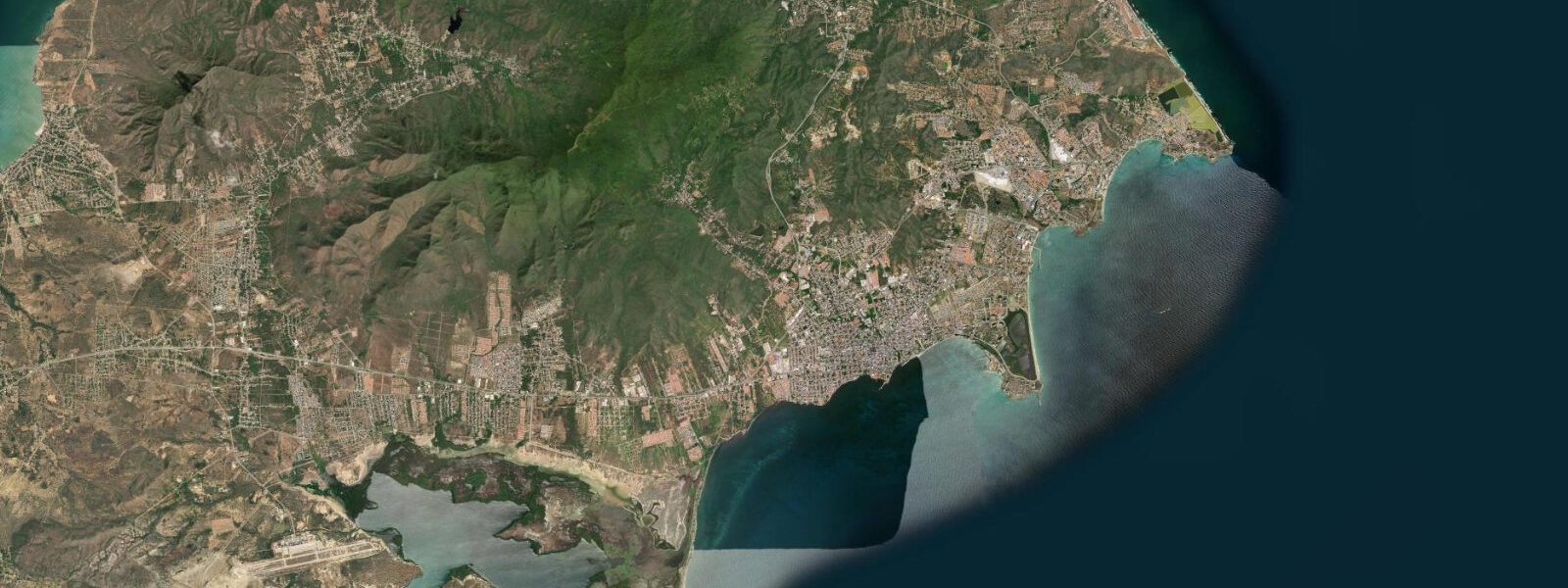
Porlamar's bay has a modest natural harbour that has been extended by breakwaters protecting the ferry terminal. Ferry services from Puerto La Cruz on the mainland take approximately 4 hours; faster lancha services operate in 1.5–2 hours in calm conditions. The ferry terminal infrastructure is designed for the full tidal range — the 0.3–0.4 m spring range is small enough that ferry ramp adjustments are minimal. Small craft moored in the bay need mooring lines appropriate for the range, though the swing from high to low spring tide is measured in tens of centimetres rather than metres.
The beaches closest to Porlamar — Bella Vista beach fronts the town on the south side — are narrow and backed by the commercial development of the waterfront. At high spring water the beach is 10–15 m wide; at low spring water the sand extends to 20–25 m. The water is clear in calm conditions but can become turbid when northeast swell wraps around the island's eastern headland. For the island's best beach conditions, the north coast at Playa El Agua (40 km from Porlamar) and Playa Caribe offer 3–4 km of continuous Atlantic-facing sand with stronger wave energy; the south coast at Playa Parguito has bodysurf-able shore break when northeast swell is running.
The pearl farming revival on Isla Margarita uses the shallow inshore waters of the Macanao lagoon system on the island's western peninsula — a natural brackish lagoon separated from the open Caribbean by a narrow barrier. Tidal exchange through the lagoon entrance keeps salinity levels suitable for oyster cultivation. At high spring water the lagoon entrance is 0.3–0.4 m deeper than at low spring — a difference that affects small-boat access to the inner lagoon. Pearl farm tours operate from Porlamar; the crossing to the Macanao requires a 30-minute boat ride around the south coast.
Anglers based in Porlamar target the offshore waters between Margarita and the mainland for kingfish, wahoo, and mahi-mahi. The upwelling driven by northeast trade wind off the eastern tip of the island creates productive conditions — baitfish concentrate, and pelagics follow. Bottom fishing from the bay on the ebb tide targets red snapper and grouper on the reef patches inside the 30 m contour. The local fishing fleet works the same grounds and launches before dawn regardless of tidal phase; the small range means harbour access is unrestricted at any time.
For photographers, Porlamar itself offers the colonial fish market near the waterfront — active from 05:00 when the night fishermen return — and the views east across the bay toward the dry peninsulas of the eastern tip. The evening light on the hills above Porlamar from the Bella Vista seafront is strongest from 17:00 to 18:30.
All tide predictions for Porlamar, Isla Margarita come from the Open-Meteo Marine gridded model. Timing accuracy is ±45 minutes; height accuracy is ±0.3 m above Chart Datum.
Tide questions about Porlamar, Isla Margarita
Quick answers to the most common questions about tide times, range, and water access at Porlamar, Isla Margarita.
What ferry services connect Porlamar to the Venezuelan mainland?
Conferry and Gran Cacique services run from Puerto La Cruz and Cumaná on the mainland to Porlamar's ferry terminal. The conventional ferry from Puerto La Cruz takes approximately 4 hours; high-speed lancha services complete the crossing in 1.5–2 hours in calm conditions. The ferry terminal infrastructure handles the 0.3–0.4 m tidal range without operational constraints — ramp adjustments are minor. Sea conditions on the crossing are the primary variable: northeast trade wind above 20 knots produces uncomfortable chop on the 30 km open-water section north of the coast. Morning crossings are typically calmer than afternoon departures.
What is the tidal range at Porlamar and how does it affect beach width?
Porlamar has a mixed semidiurnal spring tidal range of 0.3–0.4 m. Bella Vista beach in town shifts from 10–15 m wide at high spring water to 20–25 m at low spring water — a modest but visible change. The beaches on the north coast of Margarita (Playa El Agua, Playa Caribe) have similar tidal exposure but are backed by open Atlantic swell, making them feel more dynamic regardless of tidal state. Beach conditions at Porlamar are governed more by wind direction and whether northeast swell is wrapping around the eastern headland than by tidal height.
Is the pearl-fishing history of Isla Margarita visible today?
Yes. The Museo del Mar in Porlamar has a permanent pearl fishery exhibit covering the 16th–17th century trade. Pearl farming has been revived on the island's western Macanao lagoon, where tours show modern cultivation techniques using the same Atlantic oyster species harvested by indigenous Guaiquerí people before Spanish contact. The lagoon environment is tidal — seawater exchanges through a natural channel, and farm operators time boat access to avoid the shallowest point of the low spring tide when the channel entrance has only 0.1–0.2 m of water. The tour from Porlamar takes a full day including the 30-minute boat crossing to Macanao.
What fishing opportunities are available from Porlamar's waterfront?
Shore fishing from Porlamar's breakwater and rocky margins targets red snapper and grouper on the reef patches inside the 30 m depth contour. The ebb tide concentrates current around the breakwater ends and produces the most active feeding. Offshore from the bay, the upwelling zone off Margarita's eastern tip holds wahoo, kingfish, and mahi-mahi year-round, peaking in the November–March trade-wind intensification season. The local pesca artesanal fleet launches before dawn from the beach south of the fish market regardless of tidal state — the small 0.3–0.4 m range means no tidal constraint on harbour access.
Which beaches on Isla Margarita are best for swimmers and sunbathers, and does the tide matter?
Playa El Agua and Playa Caribe on the island's north coast are the longest and most scenic beaches — 3–4 km of sand with consistent northeast trade wind and moderate shore break. The south coast at Playa Parguito has bodysurf-able wave conditions when northeast swell is running. The town beach at Bella Vista in Porlamar is convenient but narrower and noisier. Tidal range of 0.3–0.4 m produces modest beach-width change at all locations. For families, the south-facing beaches east of Porlamar are calmer than the north coast; for surf or body-boarding, the north and east-facing coasts are the choice.
7-day tide table — Porlamar, Isla Margarita
Heights relative to MSL. Predictions: Open-Meteo Marine (MeteoFrance SMOC, 0.08° grid) — heights relative to MSL (not chart datum / LAT). Model-derived.
| Day | Type | Time | Height |
|---|---|---|---|
| Sat 27 Jun | — | ||
| Sun 28 Jun | Low | 08:08 | -0.4m |
| High | 18:00 | -0.0m | |
| Low | 19:40 | -0.1m | |
| High | 23:21 | 0.1m | |
| Mon 29 Jun | Low | 08:52 | -0.4m |
| Tue 30 Jun | High | 00:20 | 0.1m |
| Low | 09:38 | -0.4m | |
| High | 20:00 | -0.1m | |
| Low | 20:50 | -0.1m | |
| Wed 01 Jul | High | 01:00 | 0.1m |
| Low | 10:20 | -0.4m | |
| Thu 02 Jul | High | 01:42 | 0.1m |
| Low | 11:00 | -0.4m | |
| High | 22:10 | -0.0m | |
| Low | 22:45 | -0.1m | |
| Fri 03 Jul | High | 02:21 | 0.1m |
| Low | 11:45 | -0.3m | |