White Grass, Western Tanna tide times
White Grass, Western Tanna tide forecast — heights relative to MSL.
Today's tide times for White Grass, Western Tanna
Tide times at White Grass, Western Tanna on Saturday, 4 July 2026: first high tide at 11:00am, first low tide at 02:06pm, second high tide at 08:50pm. Sunrise 06:17am, sunset 05:16pm.
Tide chart for White Grass, Western Tanna
24-hour cosine-interpolated curve around the present moment. Heights relative to MSL. Predictions: Predictions: Open-Meteo Marine (MeteoFrance SMOC, 0.08° grid).
Sun, moon and conditions on Sat 04 Jul
Snapshot at build time — refreshes daily. Sea state from Open-Meteo Marine.
Highs and lows next 7 days
Every predicted high and low for the next week, with the daily tidal coefficient (0–120; higher = bigger swing, > 95 means stronger currents).
Other spots nearby
The three closest curated TideTurtle locations to White Grass, Western Tanna, measured by great-circle distance.
Today's solunar windows
Solunar tradition: major periods are the ≈3h windows around moon transit and opposition; minor are ≈2h around moonrise and moonset. Pair with the local tide stage and wind for the best read.
About tides at White Grass, Western Tanna
A short guide to the coastline at White Grass, Western Tanna — geography, sea state, and what the tide is actually doing under your feet.
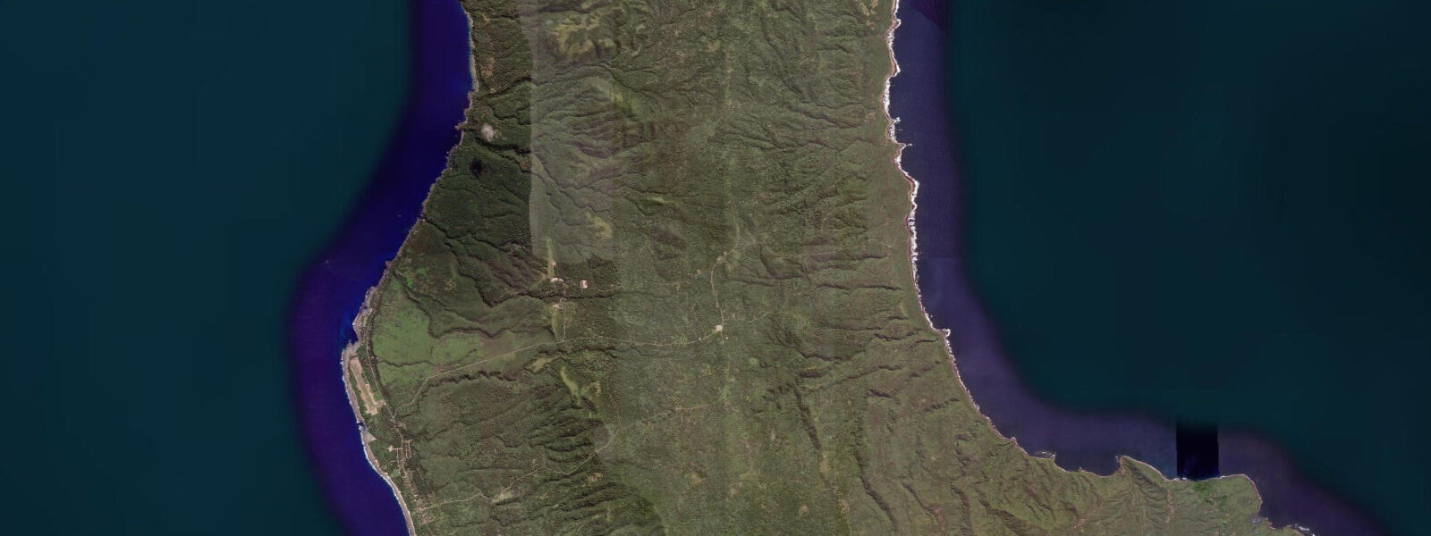
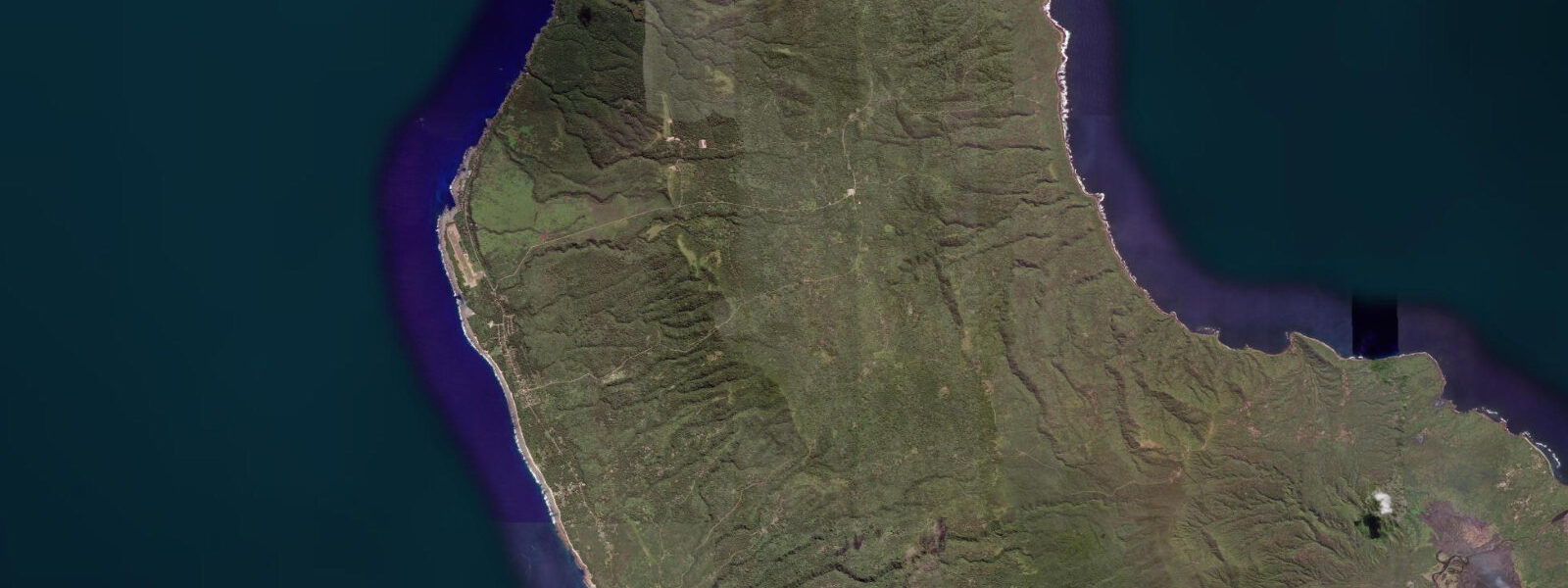
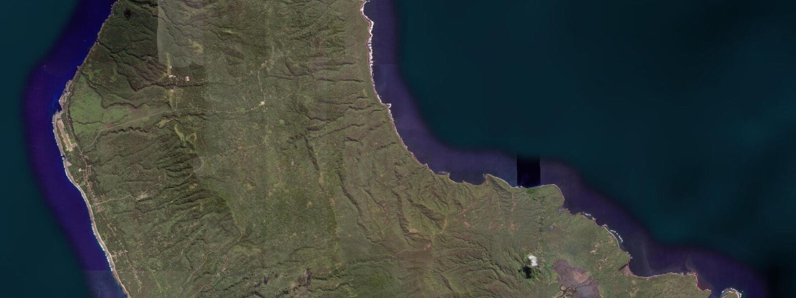
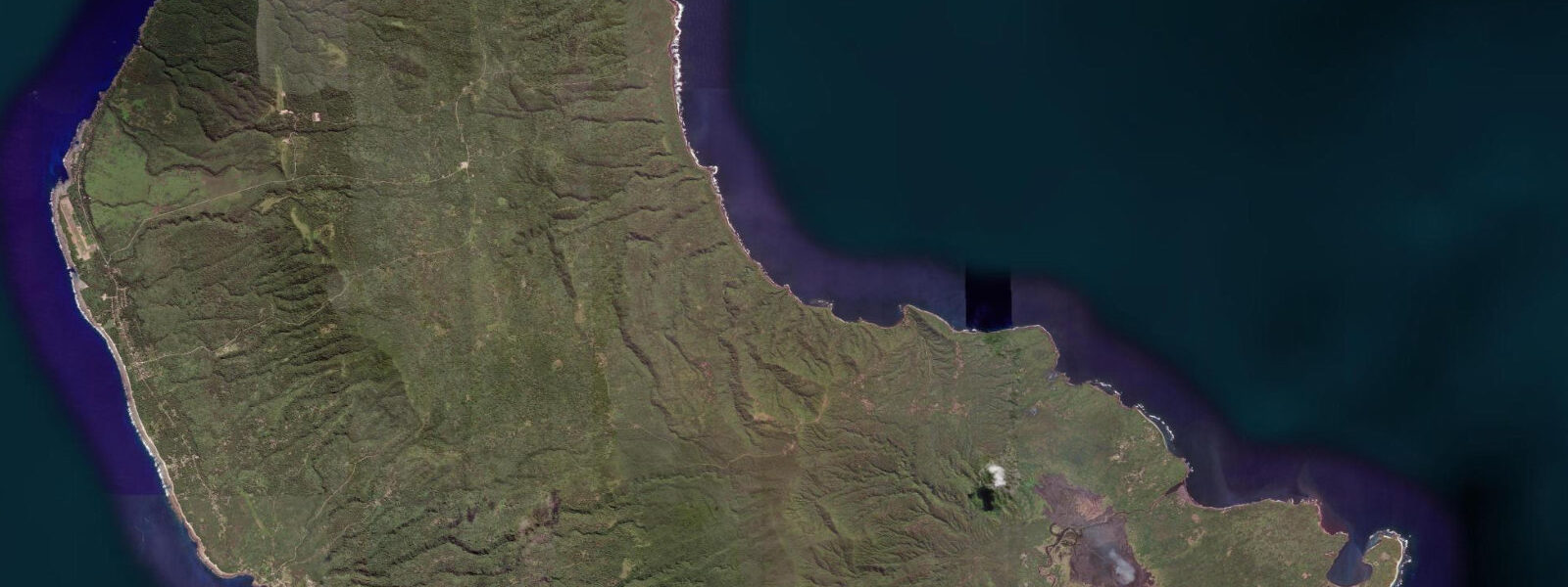
White Grass is a clifftop plateau on the western coast of Tanna Island, overlooking the Coral Sea. The plateau sits approximately 40 metres above the waterline; the reef below the cliff edge is accessible by a descent trail cut into the cliff face, and the offshore reef extends 200 to 400 metres seaward in 5 to 15 metres of water before the bottom drops to deeper water on the outer reef slope. The western coast of Tanna faces the prevailing Pacific trade wind swell, arriving unobstructed across the Coral Sea from the southeast, giving this coast a more energetic swell regime than the sheltered eastern coast at Port Resolution.
The tidal regime at White Grass is mixed semidiurnal, with a spring range of approximately 1.0 metre. The reef flat at the base of the cliff is narrow — 30 to 50 metres from the cliff base to the reef crest — and is exposed at low water springs for approximately 1.5 to 2 hours. At high water springs, the reef flat is submerged by 0.5 to 0.7 metres, and the wave action from the trade wind swell reaches the cliff base. The cliff-descent trail to the reef is passable in calms and light swell (below 0.5 metres); in stronger trade conditions the base of the cliff is wave-washed and the descent is not safe.
The reef on the outer slope below the cliff face has undisturbed coral cover — the western Tanna coast has low fishing pressure and no organised dive or snorkel tourism, which means the fish community reflects the natural state of a protected reef environment. Parrotfish, surgeonfish, and grouper are abundant; the outer slope has grey reef shark visible on the tidal current. The quality of the coral and fish community on this coast is considered among the best in Tanna by visiting researchers.
The Whitegrass plateau is the site of Tanna's only airstrip — Whitegrass Airport — which serves the island's domestic flight connections to Port Vila. Most visitors to Tanna land here and proceed to Lenakel, the main town 5 kilometres to the north. The plateau itself is named for the native grass that covers the open ground between the coconut palms and the cliff edge — a distinctive pale green in the dry season, more vivid in the wet.
The clifftop position gives unobstructed views over the Coral Sea westward to the horizon. On clear days in the dry season, the sea surface is visible for 30 to 40 kilometres. The sunset from the clifftop, over the Coral Sea, is the primary photographic event at this location; the Yasur glow on the mountain to the east is sometimes visible simultaneously in the opposite direction on clear evenings, creating a situation where an active volcano is in one direction and the sunset over open ocean is in the other.
Fishing from boats off the western coast targets reef species (grouper, coral trout) on the flood tide along the outer reef slope and trolls for wahoo, mahi-mahi, and yellowfin tuna in the blue water beyond. The trade wind swell creates working sea conditions for small boats in the dry season; the western coast is more sheltered in the wet season (November to April) when the wind pattern reverses.
Predictions on this page come from Open-Meteo Marine, a gridded global ocean model. Accuracy is typically within plus or minus 45 minutes on timing and 0.2 to 0.3 metres on height — model-derived, not from a local gauge. The local tide authority is the Vanuatu Meteorology and Geo-Hazards Department (VMGD).
Tide questions about White Grass, Western Tanna
Quick answers to the most common questions about tide times, range, and water access at White Grass, Western Tanna.
How do I access the reef below the White Grass cliff?
A descent trail has been cut into the cliff face, dropping approximately 40 metres to the reef at the base. The trail is passable in calm conditions and light swell (below 0.5 metres at the cliff base). In stronger trade conditions — which are common on the western coast in the dry season (May to October) — wave action reaches the cliff base and the descent is not safe. Assess conditions from the clifftop before attempting the descent: if waves are breaking against the cliff base, do not descend. Low water timing gives more time on the exposed reef flat. Bring snorkel gear, reef shoes, and water.
What is the tidal range at White Grass?
Spring tidal range at White Grass is approximately 1.0 metre. The regime is mixed semidiurnal. At low water springs, the reef flat at the base of the cliff is exposed for 1.5 to 2 hours. At high water springs, the flat is submerged by 0.5 to 0.7 metres and wave action from the trade wind swell reaches the cliff base. The descent trail to the reef is only safe when the cliff base is not wave-washed. Predictions here come from Open-Meteo Marine (±45 minutes on timing, ±0.3 m on height). Not for navigation; consult the Vanuatu Meteorology and Geo-Hazards Department (VMGD).
Can I see the Yasur volcano glow from White Grass?
On clear evenings, the Yasur glow is visible from the White Grass clifftop looking east — the mountain is approximately 15 kilometres away. The glow intensifies with each eruption and is most visible after full darkness (after 19:30 to 20:00 depending on season). Simultaneously, the sunset over the Coral Sea is to the west. The two events in opposite directions — active volcano to the east, open ocean sunset to the west — make White Grass one of the more photographically unusual clifftop positions in the Pacific. Long exposures (20 to 30 seconds) capture the Yasur glow adequately at ISO 1600.
How do I get to White Grass?
White Grass is 5 kilometres south of Lenakel, Tanna's main town, and adjacent to Whitegrass Airport. From Port Vila, fly Air Vanuatu domestic service to Whitegrass Airport (approximately 35 minutes) — the airport is on the plateau. From Lenakel, the road south to White Grass takes 10 minutes by vehicle. Accommodation at the White Grass Ocean Resort and at community bungalows in the area gives direct clifftop access. All visitors to Tanna pass through Whitegrass Airport for the initial arrival — the cliff and reef are accessible from the airport on the day of arrival before transfer to Lenakel.
What fish are in the water below the White Grass cliff?
The outer reef slope below the White Grass cliff has undisturbed fish communities due to the low fishing pressure on this section of coast. Parrotfish (several species), surgeonfish, butterflyfish, and grouper occupy the reef slope in 5 to 15 metres. Grey reef shark are present on the current at the outer reef edge. The reef flat at low water holds parrotfish feeding on algae and small wrasse in the rock pools. The absence of organised dive tourism on this coast means the fish are relatively unhabituated to human presence — approach slowly to avoid spooking the school fish.
8-day tide table — White Grass, Western Tanna
Heights relative to MSL. Predictions: Open-Meteo Marine (MeteoFrance SMOC, 0.08° grid) — heights relative to MSL (not chart datum / LAT). Model-derived.
| Day | Type | Time | Height |
|---|---|---|---|
| Sat 04 Jul | High | 11:00 | 0.5m |
| Low | 14:06 | 0.1m | |
| High | 20:50 | 1.0m | |
| Sun 05 Jul | Low | 02:37 | 0.4m |
| High | 08:10 | 0.9m | |
| Low | 14:43 | 0.1m | |
| Mon 06 Jul | High | 22:10 | 1.0m |
| Tue 07 Jul | Low | 16:21 | 0.2m |
| High | 22:56 | 1.1m | |
| Wed 08 Jul | Low | 05:37 | 0.3m |
| High | 23:48 | 1.1m | |
| Thu 09 Jul | Low | 18:12 | 0.4m |
| Fri 10 Jul | High | 00:36 | 1.1m |
| Low | 07:36 | 0.1m | |
| High | 13:56 | 0.9m | |
| Sat 11 Jul | Low | 08:25 | -0.0m |
| High | 10:00 | 0.1m |