Port Resolution tide times
Port Resolution tide forecast — heights relative to MSL.
Today's tide times for Port Resolution
Tide times at Port Resolution on Saturday, 4 July 2026: first high tide at 11:00am, first low tide at 02:00pm, second high tide at 08:45pm. Sunrise 06:17am, sunset 05:15pm.
Tide chart for Port Resolution
24-hour cosine-interpolated curve around the present moment. Heights relative to MSL. Predictions: Predictions: Open-Meteo Marine (MeteoFrance SMOC, 0.08° grid).
Sun, moon and conditions on Sat 04 Jul
Snapshot at build time — refreshes daily. Sea state from Open-Meteo Marine.
Highs and lows next 7 days
Every predicted high and low for the next week, with the daily tidal coefficient (0–120; higher = bigger swing, > 95 means stronger currents).
Other spots nearby
The three closest curated TideTurtle locations to Port Resolution, measured by great-circle distance.
Today's solunar windows
Solunar tradition: major periods are the ≈3h windows around moon transit and opposition; minor are ≈2h around moonrise and moonset. Pair with the local tide stage and wind for the best read.
Cycle dates near Port Resolution
Last spring tide on Sat 04 Jul (range 0.9m). Next spring tide on Fri 10 Jul (range 1.2m). Next neap on Wed 08 Jul.
Spring tides cluster around new and full moons (biggest swings). Neap tides land on quarter moons (smallest swings). See the spring tide and neap tide glossary entries for the why.
About tides at Port Resolution
A short guide to the coastline at Port Resolution — geography, sea state, and what the tide is actually doing under your feet.
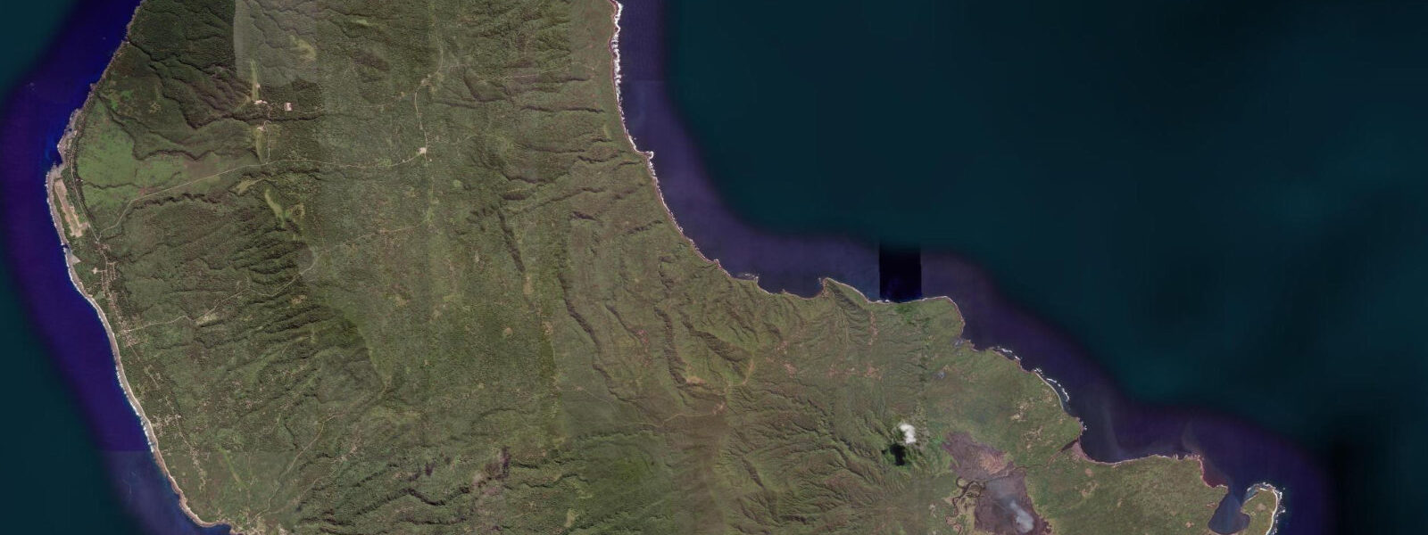
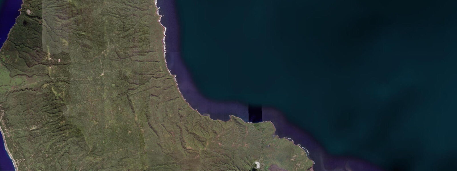
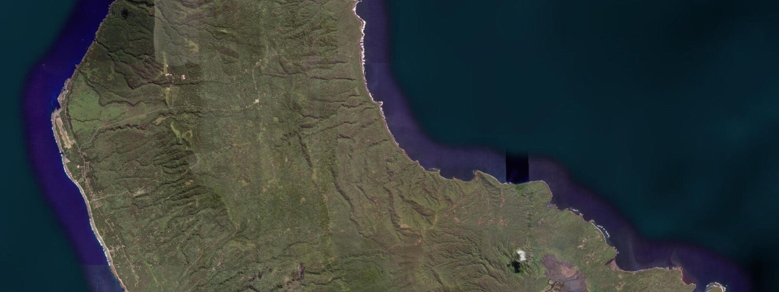
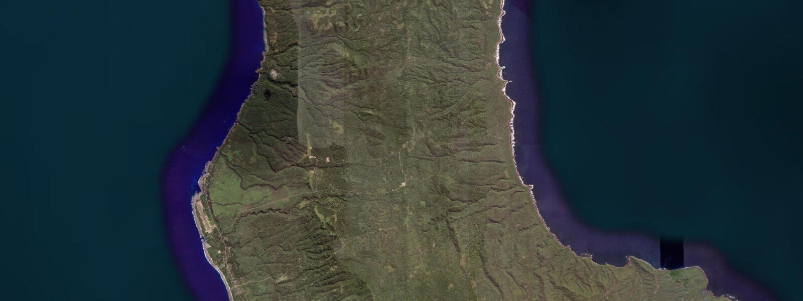
Port Resolution is a sheltered bay on the eastern coast of Tanna Island, Vanuatu, separated from the open South Pacific by a narrow northeastern passage. The bay is the former anchorage of HMS Resolution in August 1774, when Captain James Cook recorded detailed observations of both Mount Yasur's eruptions and the Tannese people in what was to become one of the most documented first-contact accounts in Pacific exploration history. The name has stuck for 250 years.
Geologically, the bay is a submerged volcanic caldera — the rim of an ancient eruption vent that partially collapsed and was subsequently flooded by the sea. The circular shape of the bay reflects this origin, with black lava cliffs forming most of the rim and the narrow passage to the east as the collapsed section. The black sand beach on the western shoreline is volcanic material, fine-grained and dark, warm underfoot in direct sun. The beach is protected from southeast trade wind swell by the bay's orientation and the surrounding cliffs; conditions inside are calm even when the open coast outside is rough.
The tidal regime at Port Resolution is mixed semidiurnal, with a spring range of approximately 1.0 to 1.2 metres. Tidal current inside the bay is gentle — the bay volume is small relative to the passage opening, and the exchange rate is slow even on spring tides. The current through the northeastern passage on the flood and ebb is more noticeable: 0.5 to 0.8 knots at springs. Kayaking in the bay is straightforward at all tide states; the passage to the open sea requires assessing conditions outside before committing.
Thermal vents on the bay floor are the distinctive feature for snorkellers. The vents are located in 3 to 8 metres of water and create visible temperature anomalies — patches of water noticeably warmer than the ambient 25 to 27 degrees Celsius of the bay. The shimmer effect above each vent is visible to the naked eye from the surface on calm days. The bottom around the vents is volcanic rock and rubble; a sparse but resilient marine community of crabs, small fish, and encrusting organisms occupies the surrounding substrate. Coral growth near active vents is suppressed by the altered water chemistry (elevated CO₂, slightly reduced pH), but the outer bay walls have better coral development.
For photographers, the combination of the black sand beach, the surrounding black lava cliffs, and the volcanic interior landscape behind makes Port Resolution compositionally striking at dawn and dusk. The Yasur glow — visible on the mountain horizon after dark, intensifying as eruptions occur — is photographable on clear nights from the beach and from the bay anchorage, using a long exposure and a stable tripod.
Kayaking from the beach into the passage and out to the open coast is possible in calm conditions; the open eastern coast of Tanna faces the South Pacific and can be rough in trade wind conditions (May to October). The bay offers a protected base with easy access to the coast in settled weather. Community guides available in the Port Resolution village offer boat tours of the bay and access to the outlying coastal viewpoints.
Predictions on this page come from Open-Meteo Marine, a gridded global ocean model. Accuracy is typically within plus or minus 45 minutes on timing and 0.2 to 0.3 metres on height — model-derived, not from a local gauge. The local tide authority is the Vanuatu Meteorology and Geo-Hazards Department (VMGD).
Tide questions about Port Resolution
Quick answers to the most common questions about tide times, range, and water access at Port Resolution.
Can I see the Yasur volcano glow from Port Resolution?
Yes. On clear nights, the Yasur glow is visible on the mountain horizon from the Port Resolution beach and bay anchorage. Each eruption — occurring every few minutes at normal activity levels — brightens the glow above the crater. Long-exposure photography (15 to 30 seconds at ISO 1600 to 3200, f/2.8) captures the eruption glow against the night sky. The clearest views are in dry season (May to October) when cloud cover is lower. Atmospheric conditions vary; on humid nights with low cloud, the glow may be diffuse rather than sharp. The mountain horizon is approximately 4 kilometres from the bay shoreline.
What are the thermal vents in Port Resolution Bay?
Hydrothermal vents on the bay floor emit warm water — a consequence of the same volcanic activity that drives Mount Yasur and the bay's caldera origin. The vents are in 3 to 8 metres of water and create patches of noticeably warmer water (1 to 3 degrees Celsius above ambient) and a visible shimmer effect in the water column. Snorkelling over the vents is safe at recreational distances. The altered water chemistry (slightly elevated CO₂) near the vents suppresses coral growth immediately around them, but the wider bay floor has encrusting marine life. The vents can be located by swimming the bay floor systematically and feeling for temperature changes.
Is Port Resolution safe for kayaking?
The bay interior is safe for kayaking at all tide states — the water is calm, the current gentle, and the distances short. The passage to the open sea requires assessing conditions outside before committing: the open eastern coast of Tanna faces the South Pacific and receives southeast trade wind swell in the dry season (May to October), with wave heights of 0.5 to 1.5 metres on the outer coast even on moderate wind days. Exit the passage and assess sea conditions from a position where you can still return to the bay if conditions are unfavourable. Community guides at the village can advise on current conditions.
What is the history of Captain Cook at Port Resolution?
Captain James Cook anchored HMS Resolution at Port Resolution in August 1774 during his second Pacific voyage. Cook recorded detailed observations of Mount Yasur's eruptions — one of the earliest documented European accounts of the volcano — and extensive notes on the Tannese people and their culture. The first-contact interaction was initially tense and then peaceful; Cook obtained fresh water and provisions. The bay was named Resolution after his ship. Cook returned the same year on a second visit. The Resolution Tanna accounts are among the most detailed first-contact documents of Cook's Pacific voyages and are frequently cited in Pacific colonial history scholarship.
What accommodation is available at Port Resolution?
Several community-run bungalow guesthouses operate at Port Resolution village, managed by local families. Facilities are basic — shared bathroom, simple meals, no electricity grid (solar or generator). These guesthouses place guests close to the bay, the black sand beach, and the Yasur access road. Booking is typically made through Lenakel town operators or Tanna tour agencies in Port Vila. Staying at Port Resolution rather than Lenakel allows early morning Yasur visits (before the day-tour groups arrive from Lenakel), dawn photography of the bay, and access to the thermal vent snorkel directly from the beach.
8-day tide table — Port Resolution
Heights relative to MSL. Predictions: Open-Meteo Marine (MeteoFrance SMOC, 0.08° grid) — heights relative to MSL (not chart datum / LAT). Model-derived.
| Day | Type | Time | Height |
|---|---|---|---|
| Sat 04 Jul | High | 11:00 | 0.4m |
| Low | 14:00 | 0.0m | |
| High | 20:45 | 0.9m | |
| Sun 05 Jul | Low | 02:16 | 0.4m |
| High | 08:07 | 0.9m | |
| Low | 14:37 | 0.1m | |
| High | 21:23 | 1.0m | |
| Mon 06 Jul | Low | 03:21 | 0.4m |
| High | 09:04 | 0.9m | |
| Low | 15:23 | 0.2m | |
| High | 22:06 | 1.0m | |
| Tue 07 Jul | Low | 04:22 | 0.4m |
| High | 10:04 | 0.8m | |
| Low | 16:12 | 0.2m | |
| High | 22:50 | 1.1m | |
| Wed 08 Jul | Low | 17:04 | 0.3m |
| High | 23:36 | 1.1m | |
| Thu 09 Jul | — | ||
| Fri 10 Jul | Low | 07:19 | 0.1m |
| High | 13:43 | 0.9m | |
| Low | 19:07 | 0.4m | |
| Sat 11 Jul | High | 01:24 | 1.2m |
| Low | 08:19 | 0.0m | |
| High | 10:00 | 0.2m | |