Lenakel tide times
Lenakel tide forecast — heights relative to MSL.
Today's tide times for Lenakel
Tide times at Lenakel on Saturday, 27 June 2026: first low tide at 11:00am, first high tide at 04:23pm, second low tide at 09:50pm. Sunrise 06:17am, sunset 05:14pm.
Tide chart for Lenakel
24-hour cosine-interpolated curve around the present moment. Heights relative to MSL. Predictions: Predictions: Open-Meteo Marine (MeteoFrance SMOC, 0.08° grid).
Sun, moon and conditions on Sat 27 Jun
Snapshot at build time — refreshes daily. Sea state from Open-Meteo Marine.
Highs and lows next 7 days
Every predicted high and low for the next week, with the daily tidal coefficient (0–120; higher = bigger swing, > 95 means stronger currents).
Other spots nearby
The three closest curated TideTurtle locations to Lenakel, measured by great-circle distance.
Today's solunar windows
Solunar tradition: major periods are the ≈3h windows around moon transit and opposition; minor are ≈2h around moonrise and moonset. Pair with the local tide stage and wind for the best read.
Cycle dates near Lenakel
Next spring tide on Tue 30 Jun (range 1.1m). Last neap on Sat 27 Jun. Next neap on Thu 02 Jul.
Spring tides cluster around new and full moons (biggest swings). Neap tides land on quarter moons (smallest swings). See the spring tide and neap tide glossary entries for the why.
About tides at Lenakel
A short guide to the coastline at Lenakel — geography, sea state, and what the tide is actually doing under your feet.
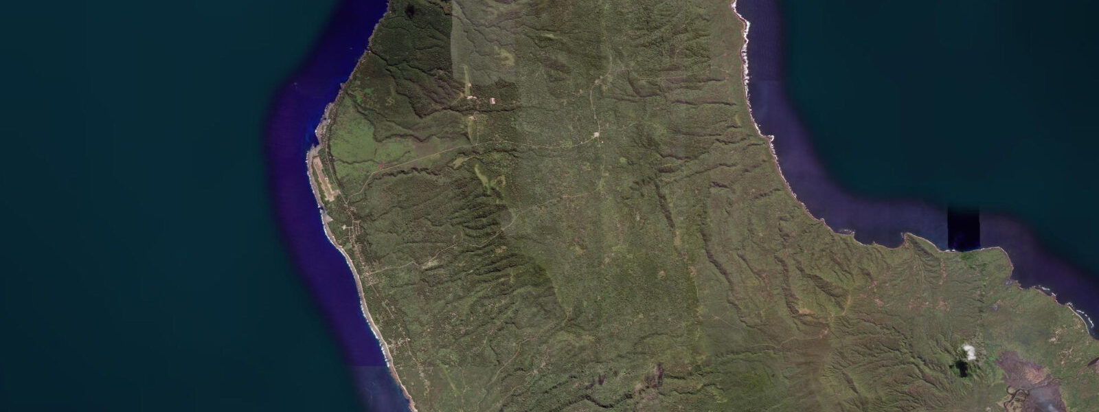
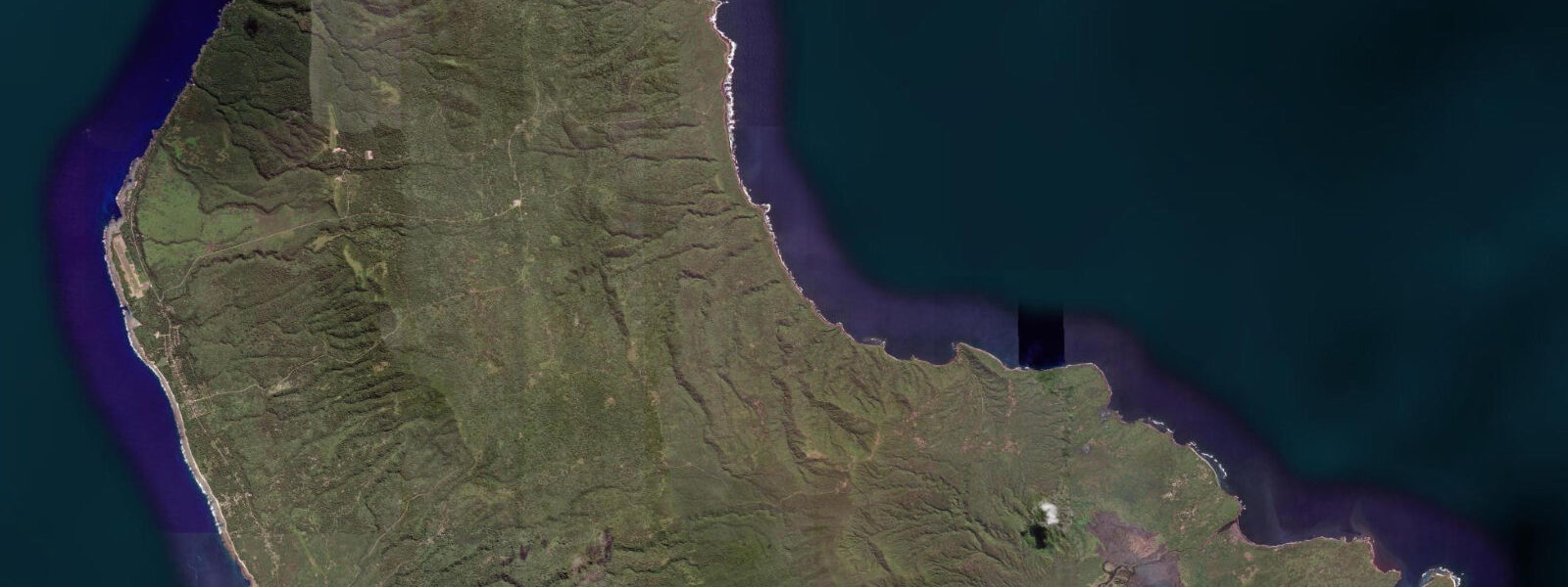
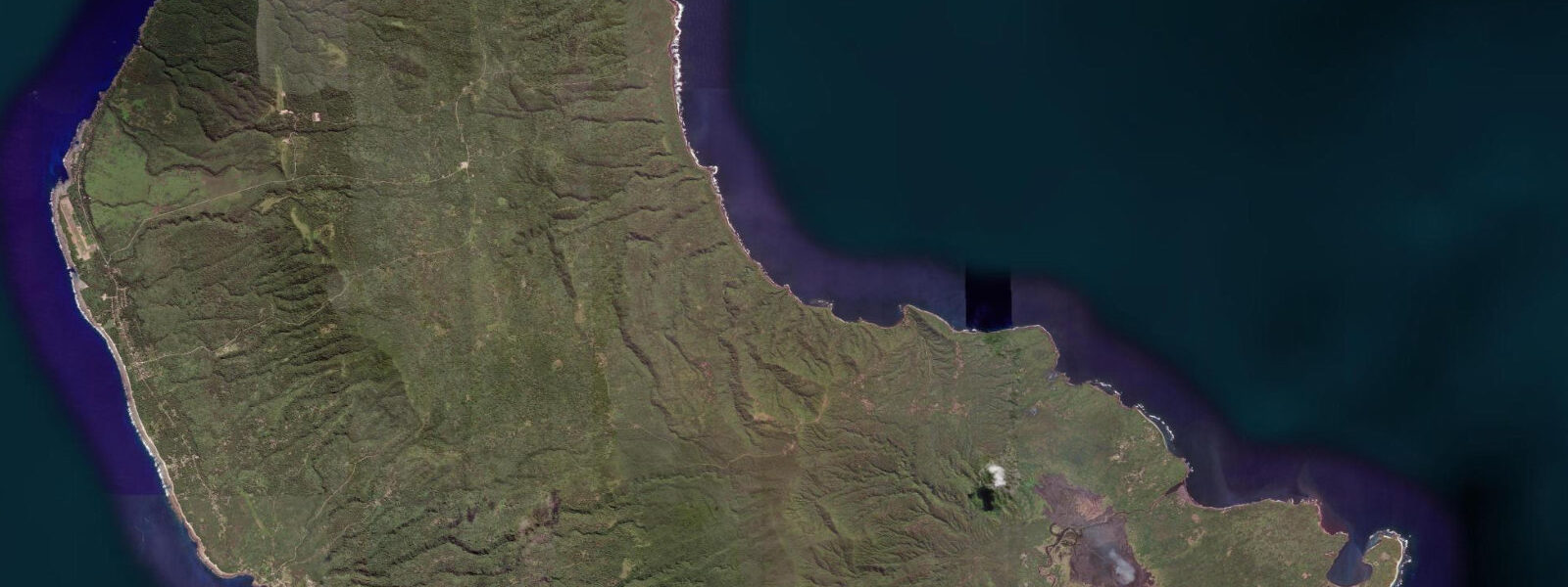
Lenakel is the main town of Tanna Island, the southernmost of Vanuatu's main inhabited islands and one of the most geologically dramatic places in the Pacific. The town sits on the west coast, facing the Coral Sea with a reef-fringed shore that absorbs the trade-wind swell arriving from the southeast around the island's southern tip. The defining feature of Tanna is Mount Yasur — an active stratovolcano 12 km inland from Lenakel, erupting in some form on approximately 60% of days. Lava bombs, ash plumes, and the orange glow of the summit crater at night are visible from the coast on clear evenings. The access road to Yasur from Lenakel crosses a black-ash plain — White Grass Road — and reaches the crater rim in about 40 minutes.
The tidal regime at Lenakel is mixed semidiurnal consistent with the regional Vanuatu pattern. Spring range approximately 1.0–1.2 m above Chart Datum; neap range 0.4–0.5 m. The west coast of Tanna faces the dominant trade-wind direction and receives the prevailing southeast swell refracted around the island's south tip — this means the actual water-level envelope at the shore is tide plus swell run-up, and on days when southeast swell is running at 1.5–2.0 m, the effective shoreline position is 0.5–1.0 m higher than the tidal prediction alone suggests.
Port Resolution on Tanna's east coast (not served by TideTurtle from Lenakel, but relevant context) is the primary small-boat anchorage for visiting yachts; Lenakel's west-coast waterfront is the main town pier and supply-ship landing. The supply ship from Port Vila calls roughly monthly; the tidal state governs whether it can come alongside the pier at all — the pier is shallow-draught and at very low spring water (below 0.2 m above Chart Datum) the inner approach silts up enough to restrict draft to less than 2 m.
For anglers, the Lenakel reef edge is the primary target. A small boat out through the pass at the north end of the reef flat reaches 20–40 m of water within 500 m of the reef edge. Wahoo, mahi-mahi, and yellowfin tuna are the offshore targets; trolling the reef edge on the flood as oceanic water pushes over the reef crest concentrates baitfish and triggers feeding. Shore casting from the breakwater south of the town pier targets trevally and snapper at dawn and dusk. The ebb current along the reef face on spring tides reaches 1.5–2.0 knots — use heavier jig heads to maintain contact with the bottom structure.
Kayakers at Lenakel must treat the exposed west coast with respect. Trade-wind swell arrives at the reef break 200–400 m offshore; inside the reef the lagoon is calmer but not flat. Launch from the town beach in the morning before trade winds build. The lagoon inside the reef is paddleable at gauge readings above 0.5 m; at lower levels shallow coral heads create navigation hazards. Circumnavigation of Tanna is a multi-day expedition requiring offshore passage experience — not a day-trip from Lenakel.
Photographers come to Lenakel primarily for the Yasur access, not the coast. However, the combination of volcanic coastline and active volcano creates unique images: the black-sand and boulder beaches south of Lenakel at low spring water expose substrate that appears nowhere else in the Pacific, and on clear nights the Yasur glow illuminates a strip of the western sky above the island silhouette. Night photography from the Lenakel pier at low spring water puts the black foreground boulder beach, the dark lagoon, and the volcano glow into a single frame.
Cyclone season (November–April) means that Lenakel's exposed west coast can experience direct cyclone approach without the barrier-reef attenuation that protects Port Vila. Tanna was devastated by Cyclone Pam in 2015. During cyclone season, the tidal prediction provides the astronomical baseline, but storm surge in a cyclone approach adds 1–3 m without warning.
All tide predictions for Lenakel come from the Open-Meteo Marine gridded model. Timing accuracy is ±45 minutes; height accuracy is ±0.3 m above Chart Datum.
Tide questions about Lenakel
Quick answers to the most common questions about tide times, range, and water access at Lenakel.
Does the tidal state affect safe access to the Mount Yasur crater?
Mount Yasur is 12 km inland and 361 m in elevation — tidal state has no direct relevance to crater access. However, the access road across the White Grass ash plain can flood after heavy rain, which often accompanies the same weather systems that drive elevated swell and surge on the coast. If cyclonic conditions are developing anywhere near Tanna, both the coastal margin and the Yasur road should be treated as potentially hazardous. Vanuatu Meteorology and Geo-Hazards Department provides ash plume advisories for Yasur as well as cyclone warnings. Check both before any Yasur visit during cyclone season.
What tidal conditions are safest for fishing from the Lenakel reef edge?
The last two hours of the flood are the most productive window for trolling the Lenakel reef edge. Oceanic water pushing over the reef crest concentrates baitfish and triggers feeding from wahoo, mahi-mahi, and yellowfin tuna. The pass at the north end of the reef flat is the safest small-boat exit at all tidal states above 0.4 m on the gauge. The spring ebb current along the outer reef face reaches 1.5–2.0 knots — use heavy jig heads (80–120 g) to maintain bottom contact for snapper and trevally. Depart before 09:00 to fish the morning flood before trade-wind chop makes the exposed outer face uncomfortable.
Is the Lenakel lagoon safe for kayaking?
The lagoon inside the reef is paddleable at gauge readings above 0.5 m, when sufficient water depth covers the shallow coral heads that otherwise create navigation and contact hazards. Launch from the town beach in the first two hours of daylight before trade winds fill in from the southeast. Do not attempt to cross the outer reef at any tidal state from a recreational kayak — the reef break receives full trade-wind swell and is not safe to transit in anything other than a powered vessel with adequate freeboard. The lagoon's sheltered interior covers roughly 2 km of paddling distance — adequate for a morning session without going near the exposed reef crest.
Can supply ships reliably dock at the Lenakel pier?
The monthly supply ship from Port Vila requires a tidal gauge reading above 0.3 m to access the Lenakel pier at full draught. At very low spring water (below 0.2 m), the inner approach silts up to a draft restriction of less than 2 m. Vessel arrivals are typically timed by the shipping company to coincide with mid-tide or above. For island residents dependent on the monthly resupply, the tidal schedule is a logistics variable — a ship arriving on a spring neap with a well-timed high has no constraints; a spring ebb at the wrong phase of the cycle requires waiting for the flood.
What makes Lenakel's coastal photography different from other Vanuatu locations?
The combination of black volcanic substrate and an active background volcano is unique on the Pacific tourist circuit. At low spring water the black-sand and boulder beaches south of the town pier are fully exposed, providing a foreground available nowhere else in the region. Night photography from the pier at low spring water positions the exposed black beach, dark lagoon, and Yasur's orange summit glow in a single composition — typically visible between 19:00 and 22:00 when the volcano is in its regular eruption cycle and the western sky above Tanna remains cloud-free. This alignment of low spring water and clear overnight occurs roughly four to six days per lunar cycle. Open-Meteo Marine predictions carry ±45 minutes timing uncertainty.
8-day tide table — Lenakel
Heights relative to MSL. Predictions: Open-Meteo Marine (MeteoFrance SMOC, 0.08° grid) — heights relative to MSL (not chart datum / LAT). Model-derived.
| Day | Type | Time | Height |
|---|---|---|---|
| Sat 27 Jun | Low | 11:00 | 0.1m |
| High | 16:23 | 0.9m | |
| Low | 21:50 | 0.4m | |
| Sun 28 Jun | High | 03:40 | 1.1m |
| Mon 29 Jun | Low | 11:06 | -0.1m |
| High | 17:43 | 0.9m | |
| Low | 23:07 | 0.4m | |
| Tue 30 Jun | High | 04:51 | 1.0m |
| Low | 11:43 | -0.1m | |
| High | 18:23 | 0.9m | |
| Low | 23:43 | 0.4m | |
| Wed 01 Jul | High | 05:24 | 1.0m |
| Low | 12:15 | -0.0m | |
| High | 19:00 | 0.9m | |
| Thu 02 Jul | Low | 00:22 | 0.4m |
| High | 06:06 | 1.0m | |
| Low | 12:57 | -0.1m | |
| High | 19:36 | 0.9m | |
| Fri 03 Jul | Low | 01:00 | 0.4m |
| High | 06:48 | 1.0m | |
| Sat 04 Jul | Low | 01:45 | 0.4m |