Port Resolution, Tanna, Vanuatu tide times
Port Resolution, Tanna, Vanuatu tide forecast — heights relative to MSL.
Today's tide times for Port Resolution, Tanna, Vanuatu
Tide times at Port Resolution, Tanna, Vanuatu on Saturday, 4 July 2026: first high tide at 11:00am, first low tide at 02:00pm, second high tide at 08:45pm. Sunrise 06:16am, sunset 05:15pm.
Tide chart for Port Resolution, Tanna, Vanuatu
24-hour cosine-interpolated curve around the present moment. Heights relative to MSL. Predictions: Predictions: Open-Meteo Marine (MeteoFrance SMOC, 0.08° grid).
Sun, moon and conditions on Sat 04 Jul
Snapshot at build time — refreshes daily. Sea state from Open-Meteo Marine.
Highs and lows next 7 days
Every predicted high and low for the next week, with the daily tidal coefficient (0–120; higher = bigger swing, > 95 means stronger currents).
Other spots nearby
The three closest curated TideTurtle locations to Port Resolution, Tanna, Vanuatu, measured by great-circle distance.
Today's solunar windows
Solunar tradition: major periods are the ≈3h windows around moon transit and opposition; minor are ≈2h around moonrise and moonset. Pair with the local tide stage and wind for the best read.
Cycle dates near Port Resolution, Tanna, Vanuatu
Last spring tide on Sat 04 Jul (range 0.9m). Next spring tide on Fri 10 Jul (range 1.2m). Next neap on Wed 08 Jul.
Spring tides cluster around new and full moons (biggest swings). Neap tides land on quarter moons (smallest swings). See the spring tide and neap tide glossary entries for the why.
About tides at Port Resolution, Tanna, Vanuatu
A short guide to the coastline at Port Resolution, Tanna, Vanuatu — geography, sea state, and what the tide is actually doing under your feet.
Tanna Island lies in the southern Vanuatu group, 210 km south of Efate, accessible by 45-minute Air Vanuatu turboprop from Port Vila or by the Vanuatu ferry network. The island is primarily known internationally for Mount Yasur — the most accessible active volcano on Earth and one of the world's most continuously active. The summit crater is 5 to 15 minutes of eruptions per hour, every hour, every day, and the approach from the ash plain is a 20-minute 4WD drive followed by a 15-minute walk to the crater rim.
Mount Yasur sits at the southeastern corner of Tanna, a small basaltic stratovolcano rising to 361 m above the ash plain. The eruptions are strombolian: lava bombs, volcanic gas, and incandescent ejecta thrown 50 to 200 m from the crater with a ground-vibrating concussive sound. At activity level 1 (normal background), the ejecta lands inside the crater and observers at the rim are at low risk from falling material. At level 2, occasional fragments cross the rim and observers need to stay alert. At level 3, the approach track closes. The Vanuatu Geohazards Observatory posts real-time activity levels on its website; checking before the drive to the ash plain is essential. Hard hats are provided by tour operators at the rim.
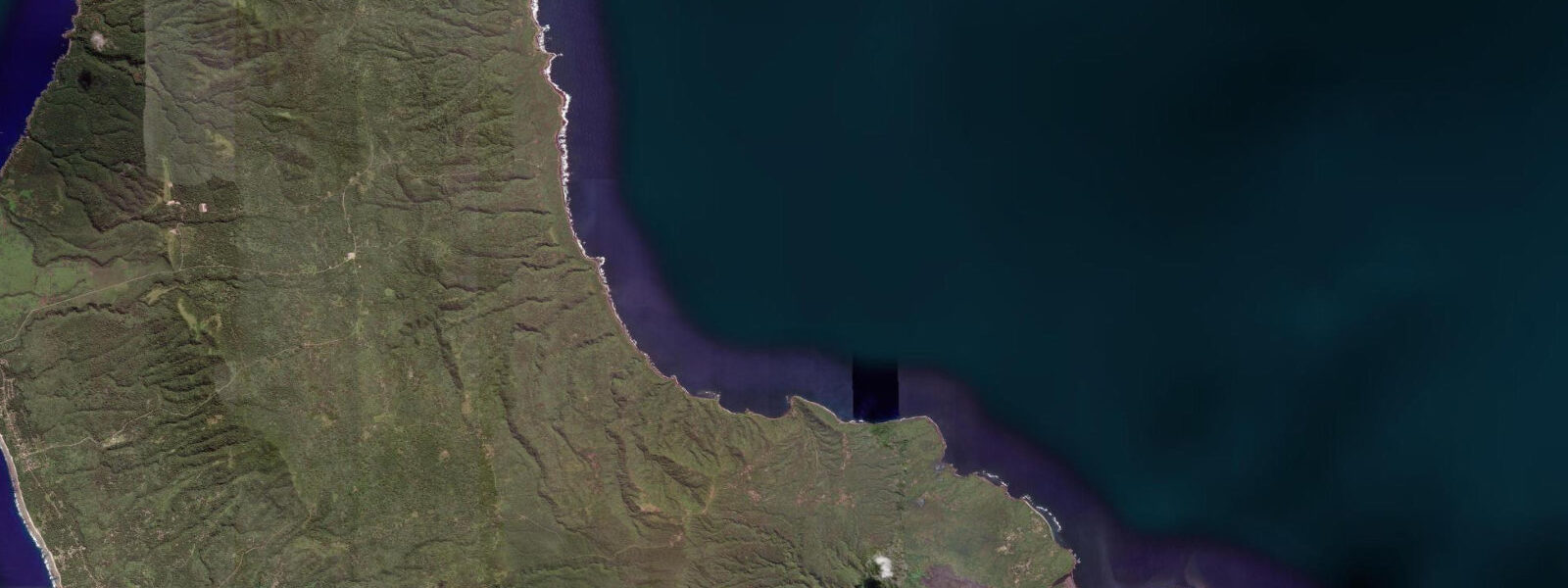
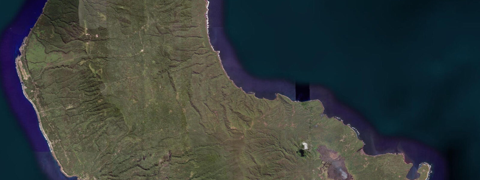
Port Resolution Bay on the southeastern coast is where Captain James Cook anchored on 5 August 1774 during his second Pacific voyage — one of the earliest European records of Tanna. The bay is protected enough to serve as an anchorage for yachts visiting Tanna, with a sand bottom and holding ground on the eastern side. The Imayo thermal hot springs emerge on the tidal flat at the bay's inner end, accessible by wading at low water: the spring vents produce warm (35 to 50°C) water that mixes with the bay water, and the local children swim in the thermal zone on the falling tide when the temperature is most concentrated. The spring range of 1.0 to 1.5 m at Tanna means the thermal flat is exposed for 1 to 2 hours around the spring low.
The John Frum cargo cult movement, which emerged on Tanna in the 1930s, centres on a messianic figure expected to return bringing material abundance. The movement's ceremonial focus is Sulphur Bay village near the volcano; the John Frum ceremonies (every Friday evening) are attended by the community and observable by visitors who arrive with appropriate guidance. The traditional kastom villages of Tanna's interior — including Yakel village near the volcano — maintain customary dress and cultural practices; guided visits are the standard access route. Pacific semidiurnal, spring range 1.0 to 1.5 m. Predictions on this page come from Open-Meteo Marine (gridded model, ±45 min / ±0.2–0.3 m). The Tanna Coffee Cooperative in the island's interior produces organic shade-grown coffee; the volcanic soil of the Tanna plateau is one of the better coffee-growing environments in the Pacific. Tours of the cooperative and roasting facility are available through Tanna's tour operators. Tanna coffee is sold in Port Vila shops and at the cooperative; buying from the cooperative directly maximises the grower share. The volcano of Mount Yasur is the centrepiece of Tanna tourism; it erupts continuously with Strombolian-style explosions and is accessible on foot to the crater rim, where visitors stand within 100 m of active lava bombs. Volcano visits are unrelated to tidal state but are weather-dependent in terms of visibility; evening visits in clear conditions show the lava glow best. The coast at White Grass, the main gateway area near the airport, has a fringing reef with a narrow lagoon. Snorkelling inside the lagoon requires water level above 0.5 m to access the outer bommies without grounding; the incoming flood is the correct window. The Lenakel waterfront, Tanna's main town and port, handles inter-island shipping; the wharf has enough depth for cargo ships at most tidal states. Kayaking from White Grass toward the southern coast is a half-day trip that should be timed to depart on the morning flood and return on the afternoon sea breeze — current and wind roughly opposing each other on the return leg makes paddling manageable.
Tide questions about Port Resolution, Tanna, Vanuatu
Quick answers to the most common questions about tide times, range, and water access at Port Resolution, Tanna, Vanuatu.
When is the next high tide at Port Resolution, Tanna?
The hero block shows the next predicted high at Port Resolution in Vanuatu Time (VUT, UTC+11). Pacific semidiurnal, spring range 1.0 to 1.5 m. The Imayo hot springs thermal flat at the bay's inner end is exposed for 1 to 2 hours around the spring low; the thermal venting is most concentrated in the shallower water during this window. Predictions from Open-Meteo Marine (gridded model, ±45 min / ±0.2–0.3 m). The Imayo hot spring thermal flat is accessible by wading from the beach at Port Resolution; the thermal water temperature is most concentrated when the flat is exposed at the spring low, when less cold seawater dilutes the vent output.
What is the tidal range at Tanna?
Spring range runs 1.0 to 1.5 m; neap range about 0.5 to 0.7 m. Port Resolution Bay is northeast-facing; northeast swell during the monsoon season (November–March) makes the anchorage uncomfortable. The spring low exposes the inner tidal flat at the Imayo hot springs, where the thermal water temperature is most noticeably warm during the 1 to 2 hours of low-water exposure. Port Resolution Bay faces northeast; northeast monsoon swell (November–March) makes the anchorage uncomfortable. April through October is the more settled anchorage period.
Where do these predictions come from?
Open-Meteo Marine, a free gridded global ocean model, accuracy ±45 min / ±0.2–0.3 m. Vanuatu Meteorological Service publishes tidal data for Vanuatu; the nearest reference station to Tanna is Port Vila on Efate, with a small timing offset for Tanna's position. Vanuatu Meteorological Service publishes Vanuatu tidal data; the nearest reference station to Tanna is Port Vila on Efate, with a small timing offset for Tanna's latitude. Official tide tables for Vanuatu are produced by the Vanuatu Meteorological Service. Predictions for Lenakel are available from the Vanuatu Meteorological Service for commercial navigation.
Is Mount Yasur safe to visit?
Mount Yasur is open to visitors when the Vanuatu Geohazards Observatory activity level is 0, 1, or 2. At level 3, the approach track is closed and access is prohibited. The VGO website posts the current level; Tanna's tour operators check it daily and will not take groups to the rim at level 3. The 4WD drive crosses the ash plain (approximately 20 minutes), then a 15-minute walk reaches the rim. Hard hats are provided by the operators. At level 1 the ejecta lands inside the crater and the rim is safe for normal observation; at level 2, watch the sky and be ready to move.
Is this safe to use for navigation?
No. TideTurtle is a planning tool. Port Resolution Bay and the Tanna coast approach from the south have reef sections and swell exposure that require proper chart navigation. Use Vanuatu Maritime Authority chart products for vessel operations in Tanna waters. Vanuatu Maritime Authority chart products cover the Tanna coast and Port Resolution Bay; the southeast approach to Port Resolution has reef sections requiring chart navigation. For navigation in Tanna waters, use Vanuatu Meteorological Service tide tables and UKHO chart products. TideTurtle presents gridded model data for coastal planning only.
8-day tide table — Port Resolution, Tanna, Vanuatu
Heights relative to MSL. Predictions: Open-Meteo Marine (MeteoFrance SMOC, 0.08° grid) — heights relative to MSL (not chart datum / LAT). Model-derived.
| Day | Type | Time | Height |
|---|---|---|---|
| Sat 04 Jul | High | 11:00 | 0.4m |
| Low | 14:00 | 0.0m | |
| High | 20:45 | 0.9m | |
| Sun 05 Jul | Low | 02:16 | 0.4m |
| High | 08:07 | 0.9m | |
| Low | 14:37 | 0.1m | |
| High | 21:23 | 1.0m | |
| Mon 06 Jul | Low | 03:21 | 0.4m |
| High | 09:04 | 0.9m | |
| Low | 15:23 | 0.2m | |
| High | 22:06 | 1.0m | |
| Tue 07 Jul | Low | 04:22 | 0.4m |
| High | 10:04 | 0.8m | |
| Low | 16:12 | 0.2m | |
| High | 22:50 | 1.1m | |
| Wed 08 Jul | Low | 17:04 | 0.3m |
| High | 23:36 | 1.1m | |
| Thu 09 Jul | — | ||
| Fri 10 Jul | Low | 07:19 | 0.1m |
| High | 13:43 | 0.9m | |
| Low | 19:07 | 0.4m | |
| Sat 11 Jul | High | 01:24 | 1.2m |
| Low | 08:19 | 0.0m | |
| High | 10:00 | 0.2m | |