
Luganville, Espiritu Santo, Vanuatu tide times
Luganville, Espiritu Santo, Vanuatu tide forecast — heights relative to MSL.
Today's tide times for Luganville, Espiritu Santo, Vanuatu
Tide times at Luganville, Espiritu Santo, Vanuatu on Saturday, 4 July 2026: first high tide at 11:00am, first low tide at 12:57pm. Sunrise 06:18am, sunset 05:32pm.
Tide chart for Luganville, Espiritu Santo, Vanuatu
24-hour cosine-interpolated curve around the present moment. Heights relative to MSL. Predictions: Predictions: Open-Meteo Marine (MeteoFrance SMOC, 0.08° grid).
Sun, moon and conditions on Sat 04 Jul
Snapshot at build time — refreshes daily. Sea state from Open-Meteo Marine.
Highs and lows next 7 days
Every predicted high and low for the next week, with the daily tidal coefficient (0–120; higher = bigger swing, > 95 means stronger currents).
Other spots nearby
The three closest curated TideTurtle locations to Luganville, Espiritu Santo, Vanuatu, measured by great-circle distance.
Today's solunar windows
Solunar tradition: major periods are the ≈3h windows around moon transit and opposition; minor are ≈2h around moonrise and moonset. Pair with the local tide stage and wind for the best read.
Cycle dates near Luganville, Espiritu Santo, Vanuatu
Last spring tide on Sat 04 Jul (range 1.0m). Next spring tide on Fri 10 Jul (range 1.2m). Next neap on Sun 05 Jul.
Spring tides cluster around new and full moons (biggest swings). Neap tides land on quarter moons (smallest swings). See the spring tide and neap tide glossary entries for the why.
About tides at Luganville, Espiritu Santo, Vanuatu
A short guide to the coastline at Luganville, Espiritu Santo, Vanuatu — geography, sea state, and what the tide is actually doing under your feet.
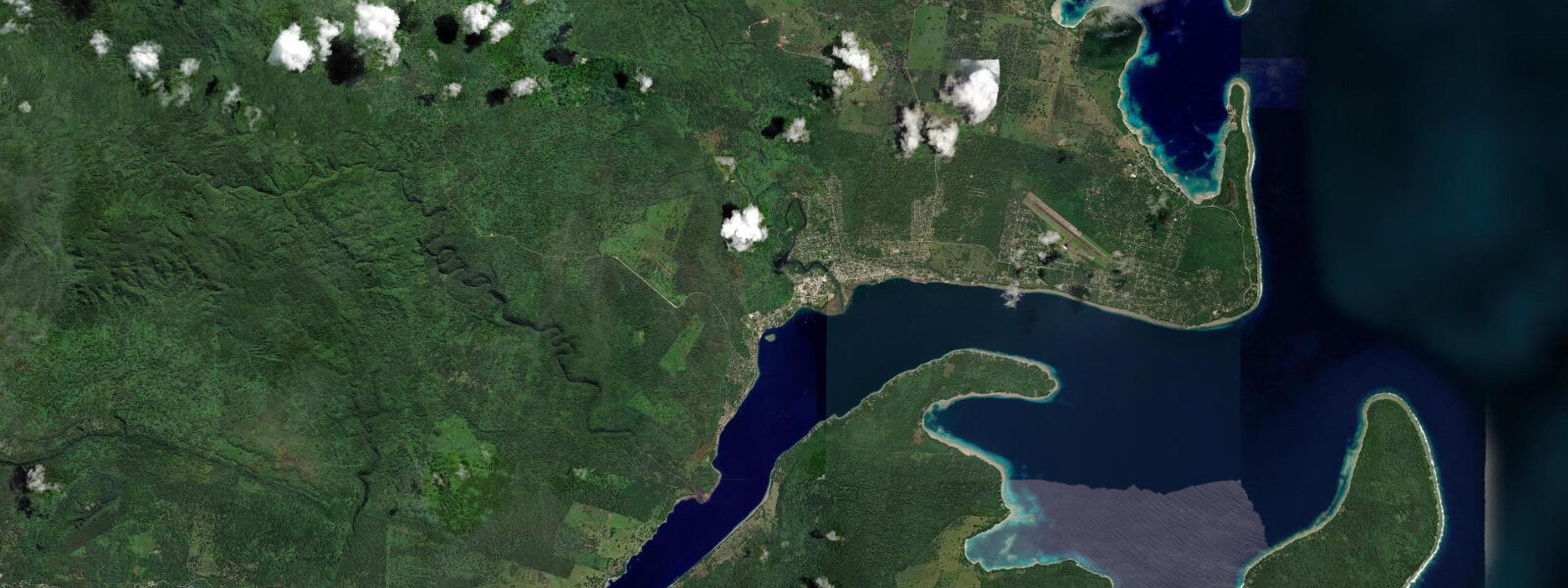
Luganville is Vanuatu's second city, the main town of Espiritu Santo island, and the access point for one of the most remarkable WWII dive sites in the world. The town sits on the Second Channel — the sheltered passage between Espiritu Santo and Aore Island — where the American military established its largest South Pacific staging base during WWII. At peak wartime deployment, Luganville held 40,000 American troops and their equipment.
The SS President Coolidge was a 200 m American President Lines troopship converted to a troop carrier. On 26 October 1942 she was carrying 5,340 troops and crew toward Luganville when she struck two American mines at the Second Channel entrance. The captain ran the ship deliberately onto the reef shallows to prevent sinking in deep water, giving the crew time to evacuate; 5,050 soldiers reached shore before she rolled to port and slid off the reef edge into 21 to 73 m of water. Two men died. The wreck is now accessible from the beach by a 300 m surface swim to the descent point — no boat required. The bow section at 21 m is reachable for advanced open-water divers; the mid-ship section, the swimming pool, the officers' dining saloon, and the famous 'The Lady' enamel relief tile embedded in the wall at 47 m are the features that bring technical divers from Europe and the US. Penetrating the cargo hold, engine room, and deeper sections requires staged decompression and technical qualifications.
Million Dollar Point, 3 km from Luganville, is where the American military chose to bulldoze their surplus equipment into the sea at the war's end rather than sell it to the French and British colonial administration at token prices. Trucks, bulldozers, jeeps, Coca-Cola bottles, canned food, and technical equipment are now a 1 to 12 m deep car-sized reef structure visible from a snorkelling mask. The shallow sections are accessible without fins. The deeper bulldozer piles are at 8 to 12 m — recreational dive territory.
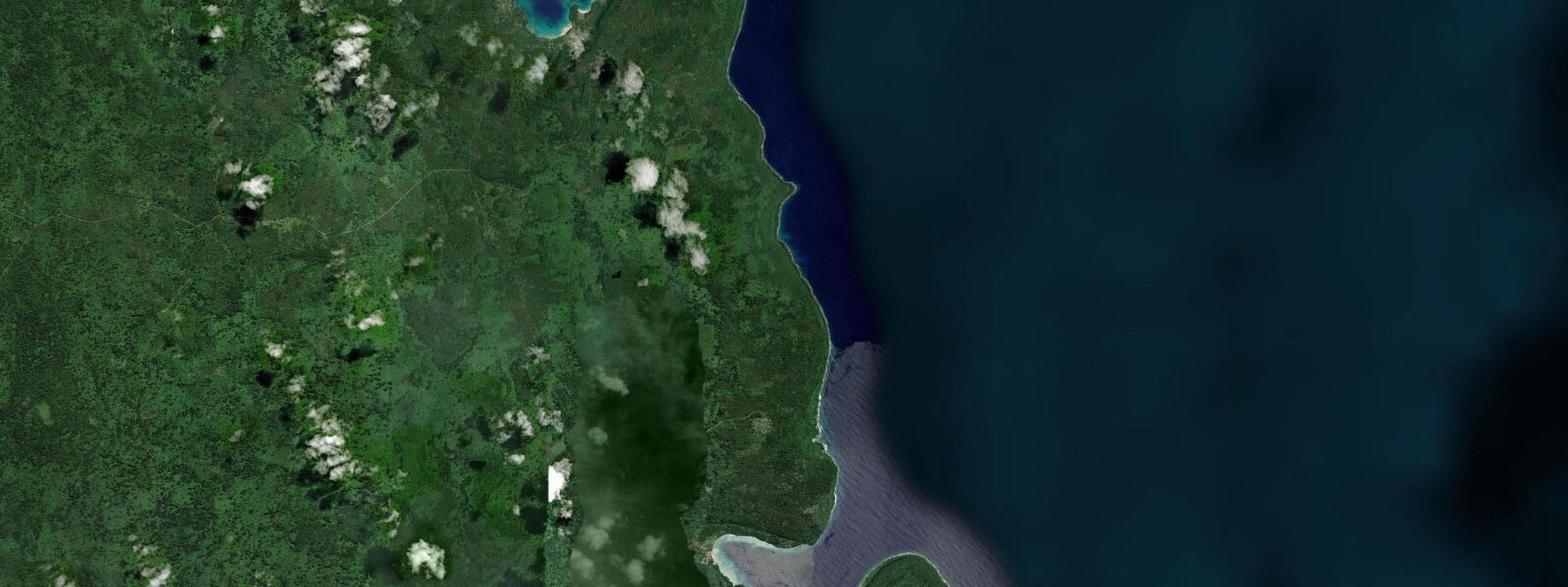
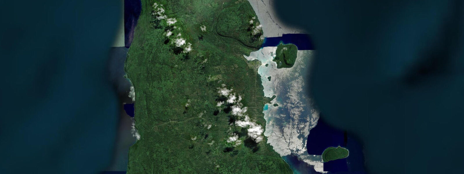
Champagne Beach on the north coast of Espiritu Santo, 80 km from Luganville, is consistently cited as one of the best beaches in the Pacific: a crescent of white sand with water that produces a subtle effervescence from natural gas bubbling through the sand — the sensation is subtle but real on calm days. The Pacific semidiurnal tidal regime at Luganville runs a spring range of 1.0 to 1.5 m. The Second Channel tidal current at the President Coolidge site runs 0.3 to 0.8 knots; dive operators plan the surface swim entry to the descent point around the slack for least current resistance. Predictions on this page come from Open-Meteo Marine (gridded model, ±45 min / ±0.2–0.3 m). The Espiritu Santo road network extends north from Luganville through the interior farming areas to the north coast where Champagne Beach is located; the 80 km drive passes through cocoa and copra plantations, villages, and the northern end of the Coral Sea Cultural Site, where the WWII artefacts and the natural environment overlap. The return drive from Champagne Beach via the east coast road completes a loop. A vehicle hire or tour from Luganville takes a full day. Luganville is home to one of Vanuatu's most-visited dive sites: SS President Coolidge, a massive American troopship sunk in October 1942 after striking friendly mines in the approaches to Luganville harbour. The wreck sits in 20 to 65 m on the north coast of Santo, and because of the depth range it is accessible on most tidal states; the bow section at 20 m is dived during slack water to minimise current on the way up. The Canal, a shallow estuary system behind Luganville town, is navigable by small boats at high water and dries to a walkable flat on the spring ebb. Local paddle tourism on the Canal uses the flood for upstream travel and the ebb to return — a natural timing that does not need coordination beyond checking the daily tidal window. The Champagne Beach on the east coast of Santo, frequently listed among the Pacific's finest beaches, is accessible by road and the tidal range here is the same as Luganville — approximately 1.0 to 1.3 m. The beach's brilliant white sand extends well below the low-water line and remains swimming-safe throughout the tidal cycle.
Tide questions about Luganville, Espiritu Santo, Vanuatu
Quick answers to the most common questions about tide times, range, and water access at Luganville, Espiritu Santo, Vanuatu.
When is the next high tide at Luganville?
The hero block shows the next predicted high at Luganville in Vanuatu Time (VUT, UTC+11). Pacific semidiurnal, spring range 1.0 to 1.5 m. The Second Channel at the President Coolidge site runs 0.3 to 0.8 knots tidal current; operators time the surface swim to the descent point around slack water for the easiest entry. Predictions from Open-Meteo Marine (gridded model, ±45 min / ±0.2–0.3 m). The surface swim to the Coolidge descent point is 300 m across the Second Channel; the tidal current during this swim is the variable that operators manage by timing entries around slack water.
What is the tidal range at Luganville?
Spring range runs 1.0 to 1.5 m; neap range about 0.5 to 0.7 m. Two semidiurnal cycles per day. The Second Channel current at the President Coolidge entry point builds to 0.3 to 0.8 knots on springs; the surface swim across 300 m of channel is noticeably affected by this current. Dive operators schedule entries around the tidal state for this reason. The ebb current of 0.3 to 0.8 knots in the Second Channel is manageable for surface swimmers at a 45-degree angle using the flood to assist the swim; operators set entry timing to keep the swim comfortable.
Where do these predictions come from?
Open-Meteo Marine, a free gridded global ocean model, accuracy ±45 min / ±0.2–0.3 m. Vanuatu Meteorological Service publishes tidal data for Vanuatu; the Luganville reference station is included in the Vanuatu tide tables and provides gauge-calibrated timing. Vanuatu Meteorological Service publishes Luganville tide tables; the Second Channel tidal current timing is calibrated by the licensed operators from direct observation at the Coolidge entry point. Official tide tables for Vanuatu ports are produced by the Vanuatu Meteorological Service; the Luganville port gauge provides the local harmonic reference.
What certification do I need to dive the President Coolidge?
The bow section at 21 to 30 m requires Advanced Open Water certification and at least 50 logged dives, plus an assigned guide from a licensed Luganville operator. The mid-ship section from 30 to 50 m requires Rescue Diver qualification and penetration dive experience. Sections below 50 m are technical diving territory — extended range qualifications, staged decompression, appropriate gas mixes. All Coolidge diving is done with an operator guide; independent penetration is prohibited. The licensed operators in Luganville provide briefings and guide allocation matched to your certification level.
Is this safe to use for navigation?
No. TideTurtle is a planning tool. The Second Channel and the Espiritu Santo coast carry commercial and inter-island vessel traffic. The President Coolidge wreck creates a large submerged obstruction at the Second Channel entrance. Use Vanuatu Maritime Authority chart products for vessel operations. Vanuatu Maritime Authority chart products cover the Second Channel and Espiritu Santo coast; the Coolidge wreck is marked on current charts as an underwater obstruction. For navigation in Santo waters, use chart products and Vanuatu Meteorological Service tide tables. For SS President Coolidge diving, the dive operators manage all timing and safety — diver planning using TideTurtle data is supplementary.
8-day tide table — Luganville, Espiritu Santo, Vanuatu
Heights relative to MSL. Predictions: Open-Meteo Marine (MeteoFrance SMOC, 0.08° grid) — heights relative to MSL (not chart datum / LAT). Model-derived.
| Day | Type | Time | Height |
|---|---|---|---|
| Sat 04 Jul | High | 11:00 | 0.3m |
| Low | 12:57 | 0.1m | |
| Sun 05 Jul | High | 06:50 | 1.1m |
| Mon 06 Jul | Low | 01:55 | 0.6m |
| High | 07:37 | 1.0m | |
| Low | 14:15 | 0.3m | |
| High | 21:04 | 1.1m | |
| Tue 07 Jul | Low | 03:04 | 0.5m |
| High | 08:47 | 0.9m | |
| Low | 15:04 | 0.4m | |
| High | 21:52 | 1.1m | |
| Wed 08 Jul | Low | 16:04 | 0.5m |
| High | 22:52 | 1.2m | |
| Thu 09 Jul | Low | 05:47 | 0.4m |
| High | 11:40 | 0.9m | |
| Low | 17:18 | 0.5m | |
| High | 23:54 | 1.2m | |
| Fri 10 Jul | Low | 06:56 | 0.3m |
| Sat 11 Jul | High | 00:54 | 1.3m |
| Low | 07:57 | 0.1m | |
| High | 10:00 | 0.3m |