Port Olry tide times
Port Olry tide forecast — heights relative to MSL.
Today's tide times for Port Olry
Tide times at Port Olry on Saturday, 4 July 2026: first high tide at 11:00am, first low tide at 12:54pm. Sunrise 06:18am, sunset 05:33pm.
Tide chart for Port Olry
24-hour cosine-interpolated curve around the present moment. Heights relative to MSL. Predictions: Predictions: Open-Meteo Marine (MeteoFrance SMOC, 0.08° grid).
Sun, moon and conditions on Sat 04 Jul
Snapshot at build time — refreshes daily. Sea state from Open-Meteo Marine.
Highs and lows next 7 days
Every predicted high and low for the next week, with the daily tidal coefficient (0–120; higher = bigger swing, > 95 means stronger currents).
Other spots nearby
The three closest curated TideTurtle locations to Port Olry, measured by great-circle distance.
Today's solunar windows
Solunar tradition: major periods are the ≈3h windows around moon transit and opposition; minor are ≈2h around moonrise and moonset. Pair with the local tide stage and wind for the best read.
Cycle dates near Port Olry
Last spring tide on Sat 04 Jul (range 1.0m). Next spring tide on Fri 10 Jul (range 1.2m). Next neap on Tue 07 Jul.
Spring tides cluster around new and full moons (biggest swings). Neap tides land on quarter moons (smallest swings). See the spring tide and neap tide glossary entries for the why.
About tides at Port Olry
A short guide to the coastline at Port Olry — geography, sea state, and what the tide is actually doing under your feet.
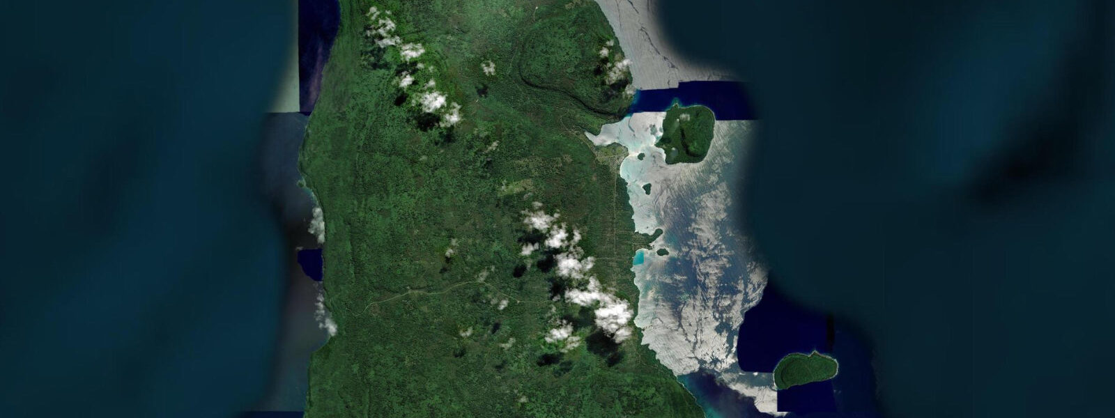
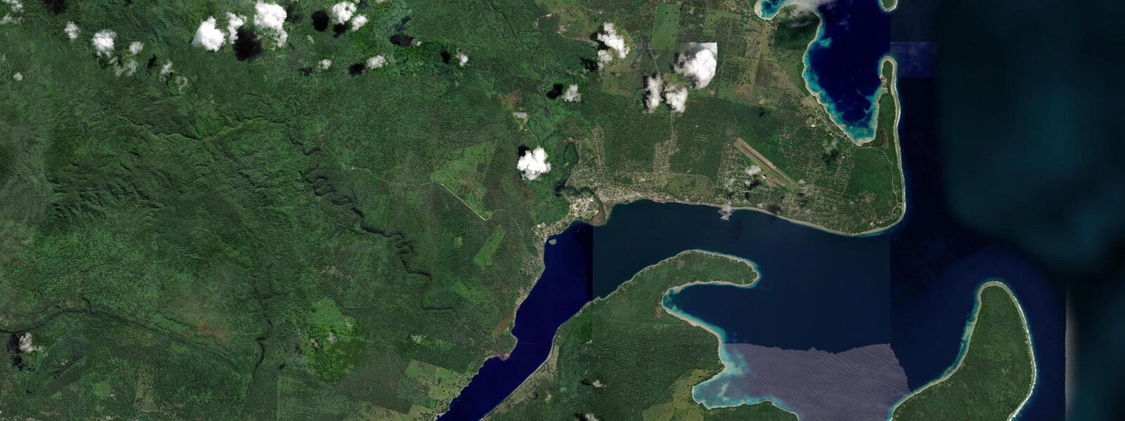
Port Olry is a small village on the northwestern coast of Espiritu Santo, 65 kilometres from Luganville along the western coast road. The settlement has French colonial origins — a Catholic mission station was established here in the early 20th century, and the mission building remains on the hillside above the village. The bay is protected by a limestone reef on its outer face, creating a calm lagoon inside that is the centre of community life: outrigger canoes, fishing nets hung to dry, children swimming after school.
The tidal regime at Port Olry is mixed semidiurnal, with a spring range of approximately 1.2 metres. The limestone reef on the bay's outer face is exposed at low water springs, providing a platform walkable in dry conditions — the rock is pockmarked limestone with a rough, dry surface that gives adequate footing in flat calms but is slippery when wave-washed. The reef flat between the shore and the outer reef crest crosses 80 to 120 metres of inter-tidal zone at low water springs. The community fishes and harvests shellfish from this flat under traditional tenure, and visitors should ask before collecting anything.
The inner lagoon is protected from all but northwest swell and is calm for swimming and kayaking at most tide states. Visibility in the lagoon is best on incoming tides when water from the outer Pacific floods through gaps in the reef crest. The reef wall on the outer face of the limestone reef is not well-documented by dive surveys; the few visiting divers who have explored it report undisturbed coral communities on the outer slope in 10 to 30 metres.
Community-run tourism at Port Olry includes guided village walks, traditional cooking demonstrations (laplap — taro or manioc cooked in leaf parcels in an earth oven), and boat trips on the lagoon. These are arranged informally through the community and provide direct economic benefit to the village. The road from Luganville is unsealed west of the main northern trunk road junction and requires four-wheel-drive in wet season.
Birds in the coastal forest above the village include the chestnut-bellied kingfisher (found only on Santo and adjacent small islands), rainbow lorikeet, and Pacific swallow. The beach at low water attracts migratory waders in the northern winter (November to March): common sandpiper, whimbrel, and wandering tattler have been recorded on the reef flat.
Fishing in the outer waters beyond the reef targets coral trout, grouper, and occasional wahoo on the flood tide. The lagoon itself is relatively shallow (3 to 8 metres) and the fish community is managed by the village qoliqoli equivalent under custom law — commercial and sport fishing in the lagoon requires village permission.
Predictions on this page come from Open-Meteo Marine, a gridded global ocean model. Accuracy is typically within plus or minus 45 minutes on timing and 0.2 to 0.3 metres on height — model-derived, not from a local gauge. The local tide authority is the Vanuatu Meteorology and Geo-Hazards Department (VMGD).
Tide questions about Port Olry
Quick answers to the most common questions about tide times, range, and water access at Port Olry.
How do I get to Port Olry from Luganville?
By four-wheel-drive vehicle, approximately 1.5 to 2 hours from Luganville via the western coast road. The road is unsealed for a significant portion of the journey west of the main northern trunk junction; four-wheel-drive is strongly recommended in the wet season (November to April) when the track is muddy. Organised day tours from Luganville include Port Olry on longer western Santo itineraries. No scheduled bus or minibus service runs to the village. Ask at Luganville accommodation about vehicle hire with driver — this is the most practical access for visitors without their own transport.
What community tourism activities are available at Port Olry?
The village offers guided walks through the community and surrounding forest (1 to 2 hours), traditional cooking demonstrations including laplap (taro or manioc cooked in leaf parcels in an earth oven, a Vanuatu staple), and boat trips on the protected lagoon. Activities are arranged informally through contact with the community; there is no formal booking system. Contributions go directly to the village. Timing a visit to low water allows walking on the exposed limestone reef flat with a local guide. Communicate your interests in advance through your Luganville accommodation or tour operator.
Is the Port Olry lagoon safe for swimming?
The inner lagoon is sheltered by the outer limestone reef from all but northwest swell and is calm for swimming at most tide states. Water clarity is best on incoming tides. There is no lifeguard and no designated swimming enclosure; assess conditions before entering. The lagoon has occasional outrigger canoe and small boat traffic — maintain awareness of vessel movement when swimming. The reef flat at low water is walkable but is managed as a community resource; do not collect shells, coral, or marine animals. The outer reef wall is accessible by snorkel but requires a boat from the village.
What birds can I see at Port Olry?
The coastal forest above the village holds the chestnut-bellied kingfisher (Todiramphus farquhari), found only on Espiritu Santo and a few adjacent small islands — a reliable sighting for birders visiting Santo. Rainbow lorikeet and Pacific swallow are common. The reef flat at low water in the northern winter (November to March) attracts migratory waders: common sandpiper, whimbrel, and wandering tattler have been recorded. Grey heron is occasionally present at the lagoon edge. The forest above the mission building is worth checking for the Santo bush warbler and various honeyeater species.
What is the tidal range at Port Olry?
Spring tidal range at Port Olry is approximately 1.2 metres. The regime is mixed semidiurnal. At low water springs, the limestone reef on the bay's outer face exposes 80 to 120 metres of inter-tidal platform walkable in flat calm conditions. At high water, the reef flat is submerged and the lagoon fills to its maximum extent. Swimming is most comfortable from mid-tide to high water when the lagoon is deepest. Predictions here come from Open-Meteo Marine (±45 minutes on timing, ±0.3 m on height). Not for navigation; consult the Vanuatu Meteorology and Geo-Hazards Department (VMGD).
8-day tide table — Port Olry
Heights relative to MSL. Predictions: Open-Meteo Marine (MeteoFrance SMOC, 0.08° grid) — heights relative to MSL (not chart datum / LAT). Model-derived.
| Day | Type | Time | Height |
|---|---|---|---|
| Sat 04 Jul | High | 11:00 | 0.3m |
| Low | 12:54 | 0.1m | |
| Sun 05 Jul | High | 06:48 | 1.1m |
| Mon 06 Jul | Low | 14:12 | 0.3m |
| High | 21:00 | 1.1m | |
| Tue 07 Jul | Low | 03:00 | 0.5m |
| High | 08:40 | 0.9m | |
| Low | 15:00 | 0.4m | |
| High | 21:52 | 1.1m | |
| Wed 08 Jul | Low | 16:04 | 0.5m |
| High | 22:47 | 1.2m | |
| Thu 09 Jul | Low | 05:52 | 0.4m |
| High | 23:50 | 1.2m | |
| Fri 10 Jul | Low | 06:56 | 0.3m |
| Sat 11 Jul | High | 00:54 | 1.3m |
| Low | 07:55 | 0.1m | |
| High | 10:00 | 0.3m |