Champagne Beach tide times
Champagne Beach tide forecast — heights relative to MSL.
Today's tide times for Champagne Beach
Tide times at Champagne Beach on Saturday, 4 July 2026: first high tide at 11:00am, first low tide at 12:54pm. Sunrise 06:18am, sunset 05:32pm.
Tide chart for Champagne Beach
24-hour cosine-interpolated curve around the present moment. Heights relative to MSL. Predictions: Predictions: Open-Meteo Marine (MeteoFrance SMOC, 0.08° grid).
Sun, moon and conditions on Sat 04 Jul
Snapshot at build time — refreshes daily. Sea state from Open-Meteo Marine.
Highs and lows next 7 days
Every predicted high and low for the next week, with the daily tidal coefficient (0–120; higher = bigger swing, > 95 means stronger currents).
Other spots nearby
The three closest curated TideTurtle locations to Champagne Beach, measured by great-circle distance.

Today's solunar windows
Solunar tradition: major periods are the ≈3h windows around moon transit and opposition; minor are ≈2h around moonrise and moonset. Pair with the local tide stage and wind for the best read.
Cycle dates near Champagne Beach
Last spring tide on Sat 04 Jul (range 1.0m). Next spring tide on Fri 10 Jul (range 1.2m). Next neap on Wed 08 Jul.
Spring tides cluster around new and full moons (biggest swings). Neap tides land on quarter moons (smallest swings). See the spring tide and neap tide glossary entries for the why.
About tides at Champagne Beach
A short guide to the coastline at Champagne Beach — geography, sea state, and what the tide is actually doing under your feet.
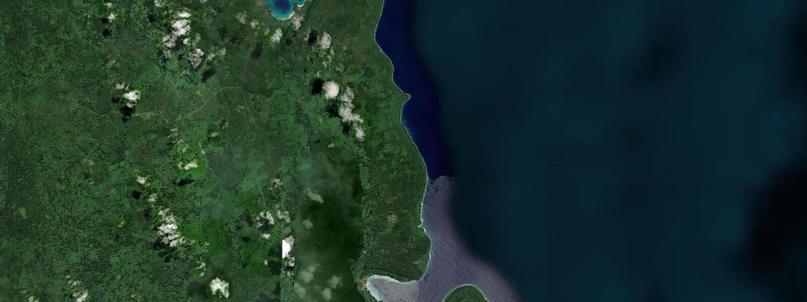
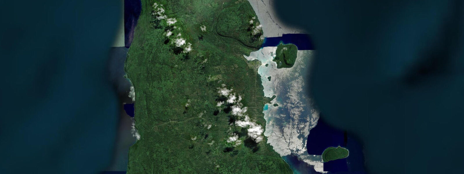
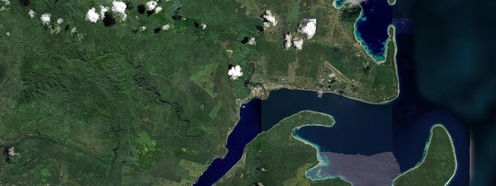
Champagne Beach sits on the northeastern coast of Espiritu Santo, 45 kilometres north of Luganville by road. The beach is a 1.5-kilometre arc of white coral sand fronting turquoise water with a fringing reef offshore. It is frequently cited in Pacific travel writing as among the finest beaches in the region, a designation that reflects the combination of sand quality, water colour, and the fact that the beach remains managed by the local village community rather than developed for resort infrastructure.
The 'champagne' name refers to underwater volcanic CO₂ seeps on the offshore reef flat — fine streams of gas bubbles rise from vents in the seafloor, visible to snorkellers in 2 to 5 metres of water as continuous threads of tiny bubbles. The seeps are a common phenomenon in Vanuatu's geologically active zone; the island chain sits on the subduction margin where the Pacific Plate dives under the Indo-Australian Plate, and hydrothermal and volcanic activity is widespread. The CO₂ seeps at Champagne Beach are not harmful in the concentrations present in open water, though sustained proximity to a concentrated vent is not recommended.
The beach faces northeast and is exposed to trade wind swell in winter (May to September), when the southeast trade wind generates consistent waves on the northern and eastern-facing shores of Santo. Wave height at Champagne Beach during active trade wind periods is typically 0.5 to 1.2 metres — suitable for body surfing and boogie boarding. The tidal range at Champagne Beach is approximately 1.2 metres at springs, mixed semidiurnal. At low water, the reef flat seaward of the beach is exposed and the snorkel access to the CO₂ seeps requires wading across the flat before reaching swimmable depth.
The road from Luganville north to Champagne Beach passes through traditional villages and coconut plantation land. The final 10 to 15 kilometres are unsealed and require a four-wheel-drive vehicle in the wet season (November to April). Village entry fees are collected at the beach access point — a standard arrangement in Vanuatu where beaches are community-managed under traditional land tenure. The fee is modest and goes directly to the village community.
Swimming at Champagne Beach is best around high water, when the reef flat is submerged and the water depth allows easy swimming from the beach face. At low water springs, the flat exposes and swimmers must wade 50 to 80 metres to reach swimmable depth. The coral on the reef flat is sparse near the beach and denser on the outer reef slope, accessible by snorkel from the beach in 10 to 15 minutes of surface swimming. Fish diversity on the outer slope is good — parrotfish, wrasse, butterflyfish, and occasional reef shark.
For photographers, the beach is most photogenic in the early morning before the trade wind picks up and ruffles the surface. The trade wind typically builds from mid-morning and dies after sunset; the golden hour light on the wet sand and turquoise water is the standard Champagne Beach image.
Predictions on this page come from Open-Meteo Marine, a gridded global ocean model. Accuracy is typically within plus or minus 45 minutes on timing and 0.2 to 0.3 metres on height — model-derived, not from a local gauge. The local tide authority is the Vanuatu Meteorology and Geo-Hazards Department (VMGD).
Tide questions about Champagne Beach
Quick answers to the most common questions about tide times, range, and water access at Champagne Beach.
Why is it called Champagne Beach?
The name refers to volcanic CO₂ seeps on the offshore reef flat — fine streams of gas bubbles rise from vents in the seafloor in 2 to 5 metres of water, resembling the bubbles in champagne. Vanuatu's island chain sits on a tectonically active subduction margin, and hydrothermal and volcanic CO₂ seeps are common along the coast. The seeps at Champagne Beach are not harmful in open water concentrations; they are visible to snorkellers on the outer edge of the reef flat and are the beach's distinctive feature beyond its visual appearance.
How do I get to Champagne Beach from Luganville?
By road, 45 kilometres north of Luganville — approximately 1 hour by four-wheel-drive vehicle. The road is sealed for the first 30 kilometres; the final 15 kilometres is unsealed track, rough in wet season (November to April) and manageable in dry season (May to October) with appropriate clearance. Vehicle hire with driver is available from Luganville; self-drive four-wheel-drive rental is also possible. Day tour operators in Luganville run guided trips to Champagne Beach combined with other northern Santo stops. A village entry fee is collected at the beach access point.
What is the tidal range at Champagne Beach?
Spring tidal range at Champagne Beach is approximately 1.2 metres. The regime is mixed semidiurnal. At low water springs, the reef flat seaward of the beach is exposed and the CO₂ seep area requires wading 50 to 80 metres before reaching swimmable depth. Swimming is most comfortable around high water when the flat is submerged. Predictions here come from Open-Meteo Marine (±45 minutes on timing, ±0.3 m on height). Not for navigation; consult the Vanuatu Meteorology and Geo-Hazards Department (VMGD) for local tide predictions.
When is the best time to visit Champagne Beach?
The dry season (May to October) gives the most reliable road access and the best weather conditions. Early morning photography is best before the trade wind builds. Snorkelling is clearest on incoming tides when Pacific water floods the reef. The beach receives southeast trade wind swell in the dry season — 0.5 to 1.2 metres on the outer face. The wet season (November to April) brings rain, higher humidity, and rougher road conditions on the unsealed final section; visits are still possible but less predictable. Cyclone season overlaps with the wet season and occasionally forces beach closures.
Can I snorkel at Champagne Beach without a guide?
Yes. The reef flat and outer reef slope are accessible by self-guided snorkel from the beach. Snorkel gear rental may be available from the village entry point or from Luganville tour operators — bring your own if possible. The CO₂ seeps are on the reef flat in 2 to 5 metres, marked by continuous bubble streams rising from the sandy bottom. The outer reef slope, with better coral cover and fish diversity, requires a 10 to 15 minute surface swim from the beach. The reef flat is shallow at low water; time your snorkel entry to an incoming or high tide for the most comfortable access. No guide required, but local knowledge of the best snorkel areas is useful.
8-day tide table — Champagne Beach
Heights relative to MSL. Predictions: Open-Meteo Marine (MeteoFrance SMOC, 0.08° grid) — heights relative to MSL (not chart datum / LAT). Model-derived.
| Day | Type | Time | Height |
|---|---|---|---|
| Sat 04 Jul | High | 11:00 | 0.3m |
| Low | 12:54 | 0.1m | |
| Sun 05 Jul | High | 06:50 | 1.1m |
| Mon 06 Jul | Low | 14:12 | 0.3m |
| High | 21:03 | 1.1m | |
| Tue 07 Jul | Low | 03:00 | 0.5m |
| High | 08:45 | 1.0m | |
| Low | 15:00 | 0.4m | |
| High | 21:52 | 1.1m | |
| Wed 08 Jul | Low | 16:00 | 0.5m |
| High | 22:47 | 1.2m | |
| Thu 09 Jul | Low | 05:47 | 0.4m |
| High | 11:42 | 0.9m | |
| Low | 17:10 | 0.5m | |
| High | 23:50 | 1.2m | |
| Fri 10 Jul | Low | 06:56 | 0.3m |
| Sat 11 Jul | High | 00:51 | 1.3m |
| Low | 07:55 | 0.1m | |
| High | 10:00 | 0.3m |