La Paloma, Uruguay tide times
La Paloma, Uruguay tide forecast — heights relative to MSL.
Today's tide times for La Paloma, Uruguay
Tide times at La Paloma, Uruguay on Saturday, 4 July 2026: first low tide at 06:00am, first high tide at 03:10pm. Sunrise 07:44am, sunset 05:38pm.
Tide chart for La Paloma, Uruguay
24-hour cosine-interpolated curve around the present moment. Heights relative to MSL. Predictions: Predictions: Open-Meteo Marine (MeteoFrance SMOC, 0.08° grid).
Sun, moon and conditions on Sat 04 Jul
Snapshot at build time — refreshes daily. Sea state from Open-Meteo Marine.
Highs and lows next 7 days
Every predicted high and low for the next week, with the daily tidal coefficient (0–120; higher = bigger swing, > 95 means stronger currents).
Other spots nearby
The three closest curated TideTurtle locations to La Paloma, Uruguay, measured by great-circle distance.
Today's solunar windows
Solunar tradition: major periods are the ≈3h windows around moon transit and opposition; minor are ≈2h around moonrise and moonset. Pair with the local tide stage and wind for the best read.
Cycle dates near La Paloma, Uruguay
Next spring tide on Wed 08 Jul (range 0.4m). Last neap on Fri 03 Jul. Next neap on Thu 09 Jul.
Spring tides cluster around new and full moons (biggest swings). Neap tides land on quarter moons (smallest swings). See the spring tide and neap tide glossary entries for the why.
About tides at La Paloma, Uruguay
A short guide to the coastline at La Paloma, Uruguay — geography, sea state, and what the tide is actually doing under your feet.
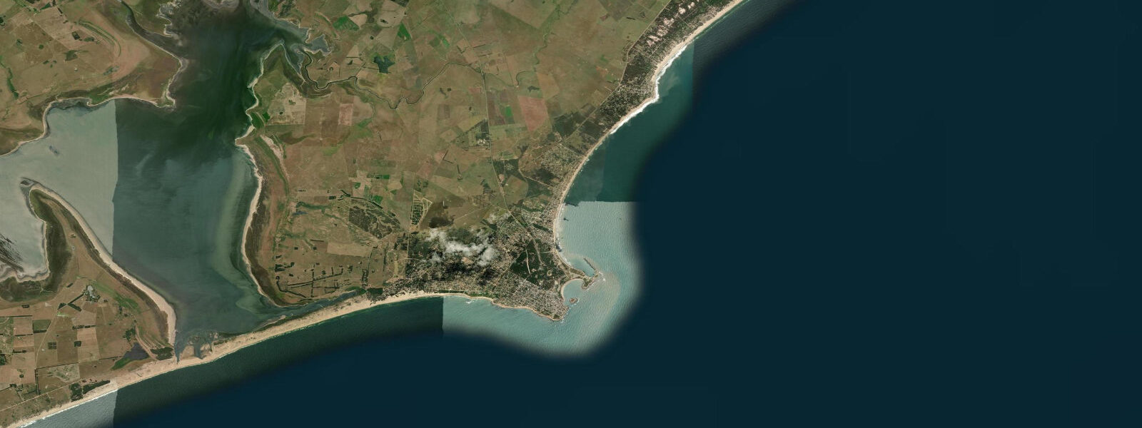
La Paloma is the main coastal town in Rocha Department, on Uruguay's eastern Atlantic coast — the largest settlement between Punta del Este and the Brazilian border, and the commercial and services hub for a stretch of coast that otherwise consists of low-density beach communities and protected wetlands. The town has a small marina, a lighthouse at Cabo Santa María, and a quiet character outside the January–February Argentine and Uruguayan summer season.
The tidal regime is Atlantic semidiurnal with a mean spring range of approximately 1.0 to 1.5 metres — enough to produce a visible change in beach character between high and low water, with the long shallow-slope beaches of the Rocha Department exposing significant sand area on the lower half of the tidal cycle. Wind setup from the southeast and south is a major additional water-level driver on this coast: a strong Sudestada (southeasterly storm system typical of the Río de la Plata and south Atlantic coastal region) can add 0.5 to 1.0 m above the predicted astronomical level. The predicted tide on this page is the baseline; Sudestada conditions require monitoring the wind and pressure forecast in addition.
The Cabo Santa María lighthouse, on the headland at La Paloma's southwestern point, marks the most southeasterly extent of the Rocha coast before the shoreline turns northwest toward Punta del Este. The lighthouse dates to 1874 and is still operational. The rocky shelf below the headland is exposed on the lower half of the tidal cycle and is a popular fishing platform for shore anglers targeting pejerrey and corvina on the incoming tide.
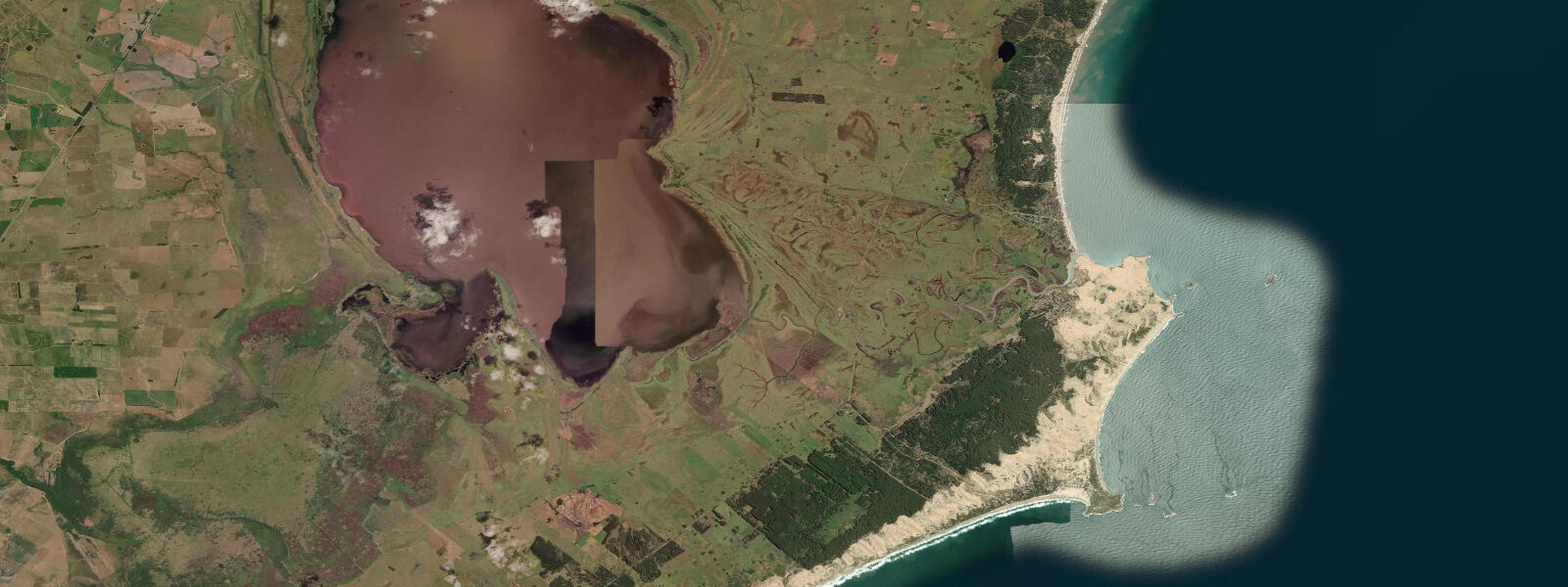
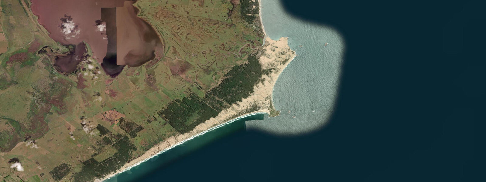
Laguna de Rocha, 8 km west of La Paloma, is a RAMSAR-listed coastal lagoon connected intermittently to the Atlantic through a sandbar. When the bar opens naturally — during high water level events or manually by authorities to prevent flooding — the lagoon receives a marine influx and salinity rises; the bar closes again as water level drops and the sandbar builds back. The lagoon holds over 200 recorded bird species including flamingos (winter), black-necked swans, and a dense shorebird community. Kayaking the lagoon from the access point near the La Paloma–La Pedrera road is a half-day activity that works best on calm mornings before the afternoon sea breeze builds.
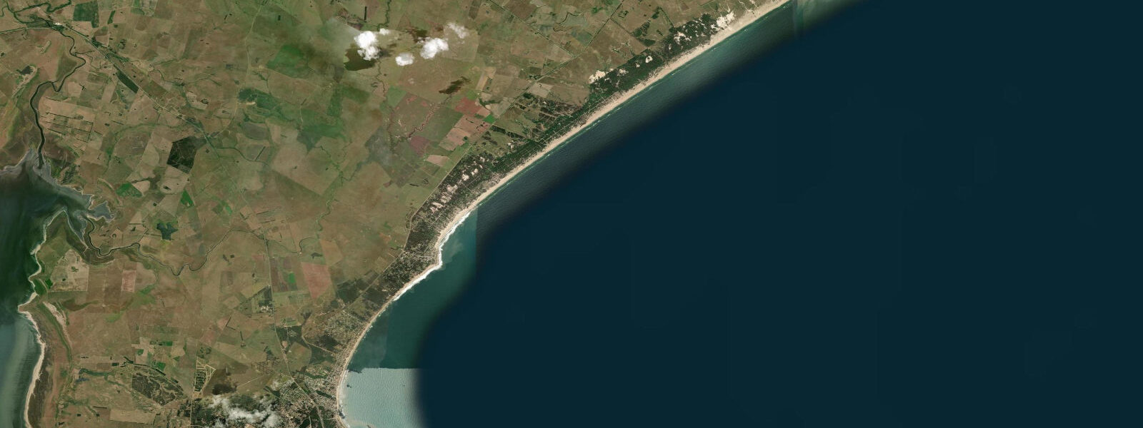
La Pedrera, 12 km northeast of La Paloma on the coast road, has a more surf-oriented character — a small headland with a point break on its north side that works on northeast Atlantic swell, typically May through September when the South Atlantic low-pressure systems generate long-period swell. The surf community is small and the wave is not consistent enough for a dedicated trip, but it adds a surf option for the La Paloma base area.
Anglers using the La Paloma area have access to several productive habitats. The Cabo Santa María rocky shelf produces corvina on the incoming tide in the morning and evening. The lagoon mouth, when the bar is open, holds snook (róbalo, Centropomus undecimalis) stacking in the current seam — the first two hours of the incoming tide flush baitfish into the lagoon and concentrate the snook. Offshore boat fishing from La Paloma's marina targets weakfish (corvina blanca) and large pejerrey (silverside) in the coastal shelf zone, with bluefish (anjova) present in the inshore zone in autumn.
Families at La Paloma find a genuinely low-key summer resort: fewer luxury hotels than Punta del Este, lower prices, quieter beaches, and a beach character determined more by the Atlantic wind and tide than by beach infrastructure. The wide, gently-sloped beach at La Paloma's main Bahía is longest and most accessible at the lower half of the tidal cycle; the 1.0 to 1.5 m range means that the 30 to 60 minutes around the predicted low gives the widest walking platform and the easiest flat-sand beach football.
Predictions on this page come from Open-Meteo Marine, a global gridded ocean model. Accuracy is ±45 minutes on timing and ±0.2 to 0.3 metres on height. The SOHMA (Servicio de Oceanografía, Hidrografía y Meteorología de la Armada, Uruguayan Navy) publishes authoritative tidal tables for the Uruguayan Atlantic coast.
Tide questions about La Paloma, Uruguay
Quick answers to the most common questions about tide times, range, and water access at La Paloma, Uruguay.
When is the next high tide at La Paloma?
The predicted next high tide at La Paloma is shown at the top of this page in Uruguay Standard Time (UYT, UTC-3). Mean spring range is approximately 1.0 to 1.5 metres — Atlantic semidiurnal. Sudestada storms (southeasterly systems) can add 0.5 to 1.0 m above the predicted level; monitor the wind and pressure forecast alongside the tide. Predictions come from Open-Meteo Marine (gridded, ±45 min / ±0.2–0.3 m); SOHMA (Uruguayan Navy) publishes the authoritative harmonic tables.
What is Laguna de Rocha and how do you visit it?
Laguna de Rocha is a RAMSAR-listed coastal lagoon 8 km west of La Paloma, separated from the Atlantic by a sandbar that opens intermittently. The lagoon holds over 200 bird species including flamingos in winter and black-necked swans year-round. Kayaking is the primary activity; access via the road between La Paloma and La Pedrera. Calm mornings before the afternoon sea breeze are the best window for bird observation. No entry fee; the area is under Rocha Department environmental management.
Is there surf near La Paloma?
La Pedrera, 12 km northeast, has a point break on the north side of its headland that works on northeast Atlantic swell — most consistent May through September. The wave is not large or consistent enough for a dedicated surf trip but is worth checking when swell is running. La Paloma itself has a beach break that is surfable on 0.5–1.0 m South Atlantic swell. The most consistent surf in the broader Rocha area is at Punta del Diablo, 50 km further northeast toward the Brazilian border.
What fishing is available at La Paloma?
Shore casting from the Cabo Santa María rocky shelf produces corvina and pejerrey on the incoming tide — best in the 2 hours after the predicted low. The lagoon mouth at Laguna de Rocha holds snook (róbalo) when the bar is open, concentrated in the first 2 hours of the incoming tide. Offshore boat fishing from La Paloma marina targets corvina blanca and bluefish (anjova, most active in autumn). A local guide or the marina shop can advise on current conditions and access.
Is this safe to use for navigation?
No. TideTurtle is a planning tool, not a nautical almanac. Navigation along the Rocha coast of Uruguay, including the approaches to La Paloma marina and around Cabo Santa María, requires current SOHMA charts. Sudestada conditions significantly elevate actual water level above the predicted tidal level. Open-Meteo Marine predictions are not a substitute for authoritative harmonic data for any vessel operation.
7-day tide table — La Paloma, Uruguay
Heights relative to MSL. Predictions: Open-Meteo Marine (MeteoFrance SMOC, 0.08° grid) — heights relative to MSL (not chart datum / LAT). Model-derived.
| Day | Type | Time | Height |
|---|---|---|---|
| Sat 04 Jul | Low | 06:00 | -0.1m |
| High | 15:10 | 0.1m | |
| Sun 05 Jul | Low | 05:00 | -0.1m |
| High | 10:10 | 0.1m | |
| Low | 13:06 | -0.0m | |
| High | 22:20 | 0.2m | |
| Mon 06 Jul | Low | 05:15 | -0.1m |
| High | 11:10 | 0.3m | |
| Low | 17:10 | 0.2m | |
| High | 23:00 | 0.4m | |
| Tue 07 Jul | Low | 06:15 | 0.1m |
| High | 12:06 | 0.3m | |
| Wed 08 Jul | Low | 06:50 | -0.2m |
| High | 13:15 | 0.1m | |
| Low | 18:50 | -0.1m | |
| Thu 09 Jul | High | 01:18 | 0.3m |
| Low | 07:18 | 0.0m | |
| High | 13:37 | 0.3m | |
| Low | 20:06 | -0.1m | |
| Fri 10 Jul | High | 02:04 | 0.1m |
| Low | 07:54 | -0.1m |