Laguna de Rocha tide times
Laguna de Rocha tide forecast — heights relative to MSL.
Today's tide times for Laguna de Rocha
Tide times at Laguna de Rocha on Saturday, 4 July 2026: first low tide at 01:21am, first high tide at 02:00am, second low tide at 06:00am, second high tide at 09:23am, third low tide at 12:20pm, third high tide at 04:10pm, fourth low tide at 05:42pm, fourth high tide at 09:07pm. Sunrise 07:42am, sunset 05:37pm.
Tide chart for Laguna de Rocha
24-hour cosine-interpolated curve around the present moment. Heights relative to MSL. Predictions: Predictions: Open-Meteo Marine (MeteoFrance SMOC, 0.08° grid).
Sun, moon and conditions on Sat 04 Jul
Snapshot at build time — refreshes daily. Sea state from Open-Meteo Marine.
Highs and lows next 7 days
Every predicted high and low for the next week, with the daily tidal coefficient (0–120; higher = bigger swing, > 95 means stronger currents).
Other spots nearby
The three closest curated TideTurtle locations to Laguna de Rocha, measured by great-circle distance.
Today's solunar windows
Solunar tradition: major periods are the ≈3h windows around moon transit and opposition; minor are ≈2h around moonrise and moonset. Pair with the local tide stage and wind for the best read.
Cycle dates near Laguna de Rocha
Next spring tide on Sat 04 Jul (range 0.5m). Last neap on Fri 03 Jul. Next neap on Wed 08 Jul.
Spring tides cluster around new and full moons (biggest swings). Neap tides land on quarter moons (smallest swings). See the spring tide and neap tide glossary entries for the why.
About tides at Laguna de Rocha
A short guide to the coastline at Laguna de Rocha — geography, sea state, and what the tide is actually doing under your feet.
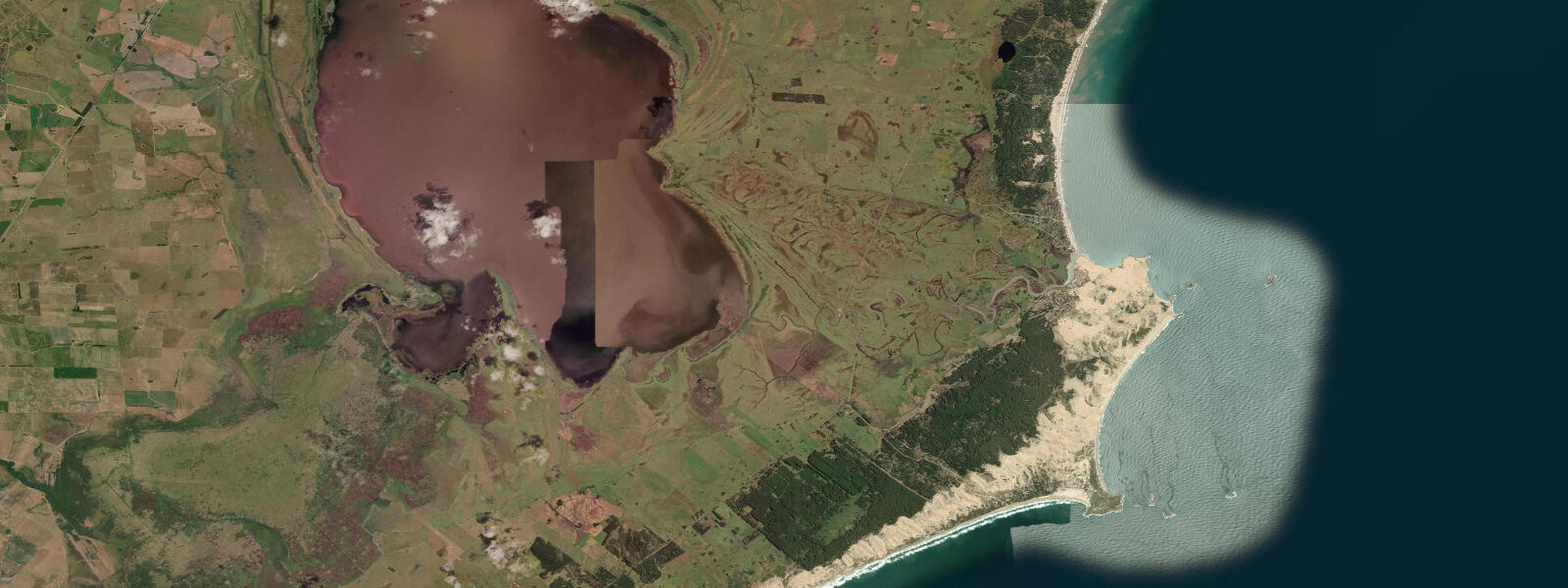
Laguna de Rocha is a coastal lagoon on the Rocha Department coast, separated from the Atlantic Ocean by a barrier beach and connected to the sea through a seasonal opening in that barrier. The connection is not permanent — the breach opens during periods of high rainfall and lagoon-level rise, allowing seawater to flow in on the flood tide and lagoon water to drain on the ebb. Then the sand reseals it, sometimes within weeks, and the lagoon begins its slow transition from brackish back toward freshwater as rainfall continues to dilute it. This open-closed cycle happens unpredictably, driven by seasonal rainfall patterns and coastal storm activity rather than by any fixed schedule.
When the breach is open, the tidal current through it is measurable and fast — a narrow channel carrying the same 0.6 to 0.9 metre tidal range of the open coast, but concentrated through a gap that may be only tens of metres wide. Fish move through the opening: marine species push into the lagoon on the flood tide, estuarine species work the current in both directions. Local artisanal fishers know the breach timing and fish the channel during the exchanges.
The lagoon is RAMSAR-listed (Convention on Wetlands of International Importance), a status it shares with the broader Rocha lagoon system. The designation reflects what the lagoon actually supports: flamingo (Phoenicopterus chilensis), roseate spoonbill (Platalea ajaja), black-necked swan (Cygnus melanocorypha), coscoroba swan (Coscoroba coscoroba), numerous heron and egret species, southern lapwing, and more than 200 documented bird species in total. The flamingo flocks, sometimes numbering in the hundreds, feed in the shallower margins of the lagoon where aquatic invertebrates concentrate in the warm summer water. The spoonbills sweep the shallows with their spatulate bills in the early morning hours, most visible at dawn when the light is low and flat over the water.
Access runs along the lagoon's northern and western rim via unpaved roads from the town of Rocha (the department capital, 30 kilometres inland) and from La Paloma on the coast. The road along the lagoon gives continuous views over the water and, from certain high points, across the barrier beach to the Atlantic beyond. There are no formal visitor facilities — no interpretive centre, no marked trails, no boat rental concession. Birding is done from the road margin or from private land with permission.
The artisanal fishing community at Aguas Dulces (at the western end of the lagoon system) and smaller settlements along the shore has worked these waters for generations. The lagoon produces corvina, pejerrey (silverside), and other estuarine species. Fishing activity peaks when the breach is open and the species mix is enriched by marine inputs. When the lagoon is fully closed and freshwater conditions dominate, the fishery shifts toward freshwater and estuarine species.
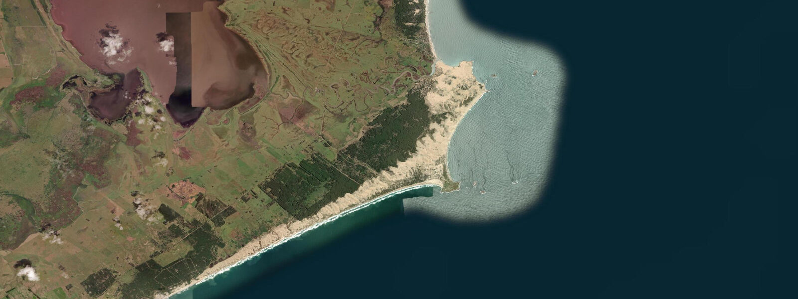
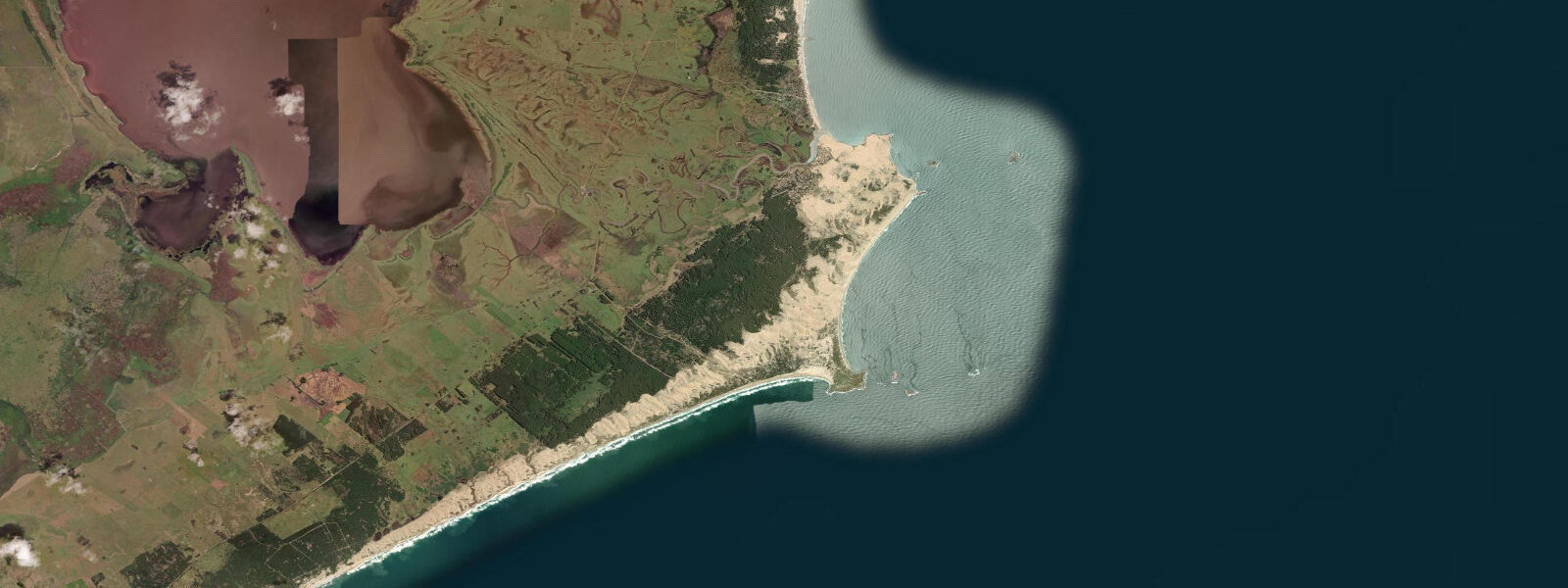
For kayakers, the lagoon is navigable year-round and the calm, sheltered water makes it accessible regardless of skill level. The best exploration route is along the barrier beach shoreline on the lagoon side — the barrier is a narrow sand ridge with the ocean on one face and the lagoon on the other, and paddling along it gives a perspective unavailable from the road. There are no rental outlets on the lagoon; kayaks must be brought in.
The surrounding landscape is one of the least modified in Uruguay: native grassland (campo), wetland margins, and coastal scrub rather than the eucalyptus plantations or agricultural pasture that dominate much of the interior. The absence of development is a product of the RAMSAR protection and the general difficulty of the terrain, not of any dramatic conservation intervention. Keep that landscape as you find it.
Sunsets over the lagoon are worth planning around. The water surface faces west and the barrier beach to the east creates a silhouette line that sharpens the contrast between sky and water in the final hour of light. No infrastructure, no crowd — just the lagoon and the sky going orange. The early morning light in the opposite direction, low and flat over the water from the east, is what the flamingo feeders prefer and what makes photographs of them possible without harsh overhead shadows.
Predictions on this page come from Open-Meteo Marine, a gridded global ocean model. Accuracy is typically within plus or minus 45 minutes on timing and 0.2 to 0.3 metres on height — model-derived, not from a local gauge. The ocean-lagoon tidal connection is seasonal and subject to barrier breach dynamics; the lagoon itself is not open-water tidal when the breach is sealed. DINAMA Uruguay manages the protected area.
Tide questions about Laguna de Rocha
Quick answers to the most common questions about tide times, range, and water access at Laguna de Rocha.
What makes Laguna de Rocha a RAMSAR site?
RAMSAR designation (under the Convention on Wetlands of International Importance) is given to wetlands that meet specific ecological criteria — usually exceptional biodiversity, significant populations of waterbirds, or importance as habitat for endangered species. Laguna de Rocha qualifies on multiple counts: it supports more than 200 documented bird species, including globally important populations of flamingo, roseate spoonbill, black-necked swan, and coscoroba swan. The dynamic open-closed connection with the sea creates a brackish-to-freshwater gradient that different species exploit at different points in the cycle, generating a habitat diversity that a permanently marine or permanently freshwater lagoon would not produce. The lagoon forms part of a broader RAMSAR-listed complex in Rocha Department alongside Laguna de Castillos and Laguna Negra.
When is the best time to visit for birdwatching?
The lagoon is productive year-round, but the best birdwatching concentrates in two periods. Summer (December through February) brings the largest flamingo and spoonbill concentrations as water temperatures warm and aquatic invertebrate populations peak in the shallows. The bird activity is most visible in the early morning — arrive at the lagoon edge by 06:00 to catch the low-angle light and the feeding activity before the wind picks up and birds move off the exposed margins. Austral spring (September through November) brings migratory shorebirds and breeding activity for resident species. The worst period is mid-winter (June through August) when numbers drop and the lagoon is at its most windswept, though it is never empty.
Can you kayak or boat on the lagoon?
Yes — the lagoon is calm and sheltered, making it suitable for kayaks, canoes, and small flat-bottom boats. There is no motorboat restriction within the RAMSAR boundary, but the silence and wildlife are better served without engine noise. There are no rental facilities at the lagoon itself; kayaks must be brought in on a vehicle roof rack. The most rewarding route is along the inner face of the barrier beach, where you can look across the narrow sand ridge to the Atlantic on one side and over the lagoon on the other. The barrier beach varies in width from 50 to 200 metres along this stretch. Landing on the barrier is possible; crossing to the ocean side is at your own risk given the exposed surf.
How does the tidal connection with the sea work?
The barrier beach that separates Laguna de Rocha from the Atlantic is not fixed. When rainfall raises the lagoon level above a threshold, or when storm surge pushes water against the barrier from the ocean side, the barrier can breach — opening a channel between the lagoon and the sea. This breach allows tidal exchange: ocean water floods in at high tide, lagoon water drains at low tide. The current through the breach can be strong, especially at spring tides when the tidal range on the ocean side is 0.7 to 0.9 metres. The breach then closes again as longshore sand transport refills the gap, which can happen within days to weeks. The cycle is seasonal but not calendar-predictable. When the breach is closed, the lagoon is not tidal — water levels respond only to rainfall and evaporation.
Is there accommodation near the lagoon?
There is no accommodation on the lagoon itself. The nearest options are the town of La Paloma (approximately 15 kilometres west along the coast road), which has a range of hostels, guesthouses, and a small hotel cluster near the beach. La Paloma also has a supermarket, ATM, and year-round services. The town of Rocha (the department capital, 30 kilometres inland on Ruta 9) has more complete services and several hotels. Aguas Dulces, a small village at the western end of the lagoon system, has a few basic posadas and a campsite that operates in summer. For serious birding, a base in La Paloma with early-morning drives to the lagoon edge works well — the drive is 20 to 25 minutes on unpaved roads and is suitable for standard vehicles in dry conditions.
7-day tide table — Laguna de Rocha
Heights relative to MSL. Predictions: Open-Meteo Marine (MeteoFrance SMOC, 0.08° grid) — heights relative to MSL (not chart datum / LAT). Model-derived.
| Day | Type | Time | Height |
|---|---|---|---|
| Sat 04 Jul | Low | 01:21 | 0.1m |
| High | 02:00 | 0.1m | |
| Low | 06:00 | -0.1m | |
| High | 09:23 | 0.1m | |
| Low | 12:20 | -0.0m | |
| High | 16:10 | 0.2m | |
| Low | 17:42 | 0.1m | |
| High | 21:07 | 0.3m | |
| Sun 05 Jul | Low | 06:10 | -0.2m |
| Mon 06 Jul | High | 22:38 | 0.5m |
| Tue 07 Jul | Low | 07:00 | 0.0m |
| High | 23:04 | 0.3m | |
| Wed 08 Jul | Low | 18:06 | -0.1m |
| Thu 09 Jul | High | 00:50 | 0.3m |
| Low | 07:00 | 0.0m | |
| High | 13:12 | 0.3m | |
| Fri 10 Jul | Low | 07:06 | -0.1m |
| High | 14:07 | 0.2m | |
| Low | 20:00 | -0.2m |