La Pedrera, Uruguay tide times
La Pedrera, Uruguay tide forecast — heights relative to MSL.
Today's tide times for La Pedrera, Uruguay
Tide times at La Pedrera, Uruguay on Saturday, 4 July 2026: first low tide at 05:50am, first high tide at 09:23am, second low tide at 05:00pm, second high tide at 09:20pm. Sunrise 07:43am, sunset 05:37pm.
Tide chart for La Pedrera, Uruguay
24-hour cosine-interpolated curve around the present moment. Heights relative to MSL. Predictions: Predictions: Open-Meteo Marine (MeteoFrance SMOC, 0.08° grid).
Sun, moon and conditions on Sat 04 Jul
Snapshot at build time — refreshes daily. Sea state from Open-Meteo Marine.
Highs and lows next 7 days
Every predicted high and low for the next week, with the daily tidal coefficient (0–120; higher = bigger swing, > 95 means stronger currents).
Other spots nearby
The three closest curated TideTurtle locations to La Pedrera, Uruguay, measured by great-circle distance.
Today's solunar windows
Solunar tradition: major periods are the ≈3h windows around moon transit and opposition; minor are ≈2h around moonrise and moonset. Pair with the local tide stage and wind for the best read.
Cycle dates near La Pedrera, Uruguay
Next spring tide on Wed 08 Jul (range 0.4m). Next neap on Sun 05 Jul.
Spring tides cluster around new and full moons (biggest swings). Neap tides land on quarter moons (smallest swings). See the spring tide and neap tide glossary entries for the why.
About tides at La Pedrera, Uruguay
A short guide to the coastline at La Pedrera, Uruguay — geography, sea state, and what the tide is actually doing under your feet.
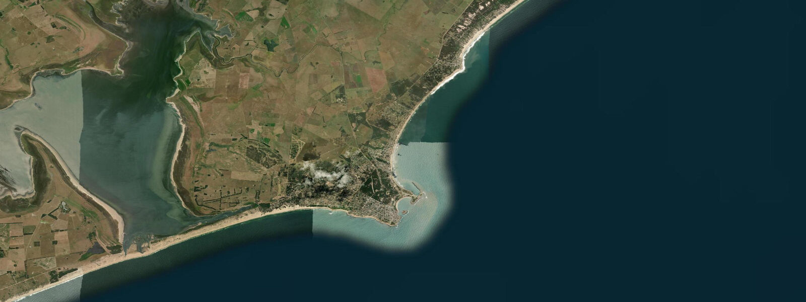
La Pedrera occupies a clifftop above a long sandy beach between La Paloma to the west and Cabo Polonio to the east — a stretch of Rocha department coast that has remained less commercially developed than either neighbour. The village sits on a low headland of dark rock, and the road from the main highway arrives at a cluster of houses, small posadas, a handful of restaurants, and an unobstructed view southeast over the Atlantic. The appeal is deliberate simplicity: no large hotels, no nightclub strip, no organised beach concessions, and a local community of Uruguayan beach-goers who return each summer specifically because those things are absent.
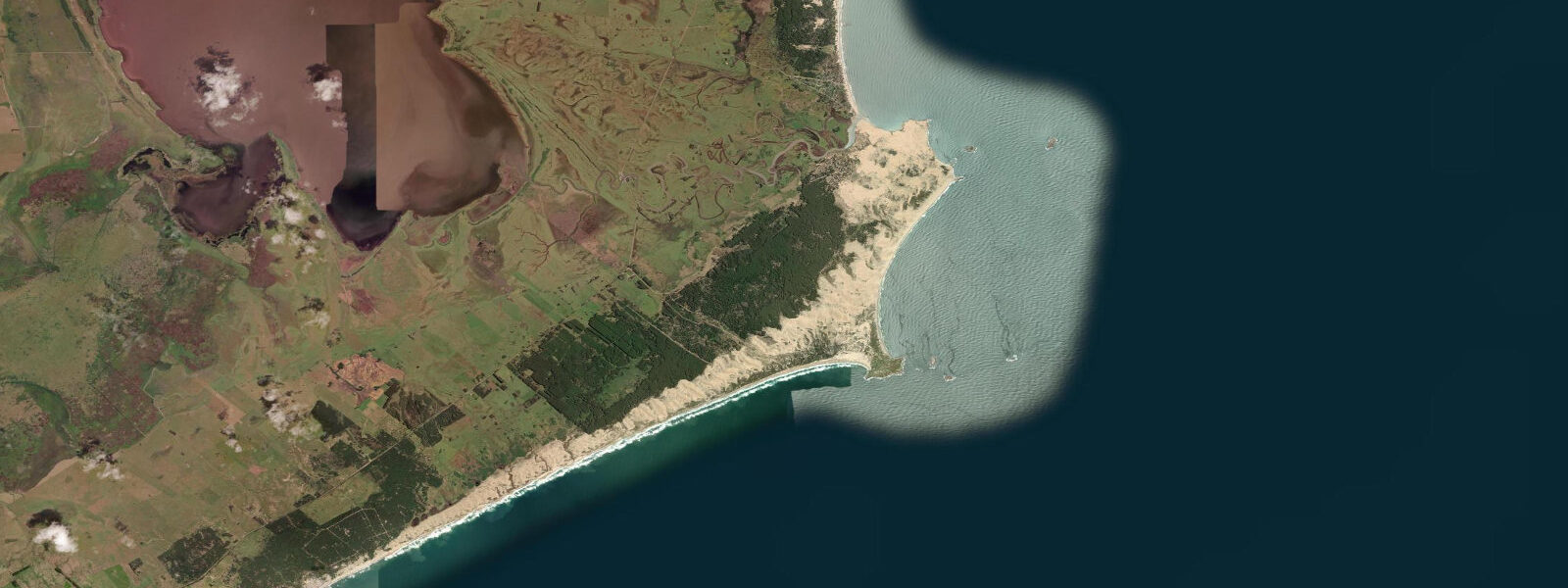
The beach below the cliffs runs for several kilometres in both directions. The eastern section narrows between the headland base and the dunes, creating a sheltered concave section that holds calmer water on most swell directions. The western section opens into the broader arc toward La Paloma and is more exposed to the prevailing south and southeast Atlantic swell. The cliff-base intertidal zone on the headland itself exposes rock platforms and boulder fields at low water, with tide pools holding the standard Atlantic South American fauna: limpets, mussels, small blennies, and occasional octopus in the deeper crevices.
The tidal regime at La Pedrera follows the Rocha department pattern: a mixed regime with a spring range typically 0.5 to 1.0 metres. Two tidal cycles per day, but the signal is strongly modified by wind and barometric pressure. Southwesterly winds push Atlantic water up the coast, raising water level above astronomical tide predictions; strong norther winds (viento del norte) draw the water offshore and expose bottom well below predicted low water. The wind effect on water level routinely exceeds the tidal signal by 0.3 to 0.5 metres in either direction. For practical planning — rock platform access, vehicle beach driving, low-tide angling — the wind forecast matters as much as the tide table.
Surfing is the activity most associated with La Pedrera. The headland creates a sheltered zone on its eastern lee side that allows light-wind conditions even when the coast opens to south swell, and the western beach section picks up the full south-southeast groundswell that travels north from the Southern Ocean. The point break off the headland tip works on a south to southeast swell with low-tide to mid-tide water level; the beach break to the west is more consistent across tidal states but less defined. The waves at La Pedrera are Uruguayan in character: not big (2 to 3 metres on a good swell day is notable), not perfect, but available consistently enough to sustain a year-round surf community.
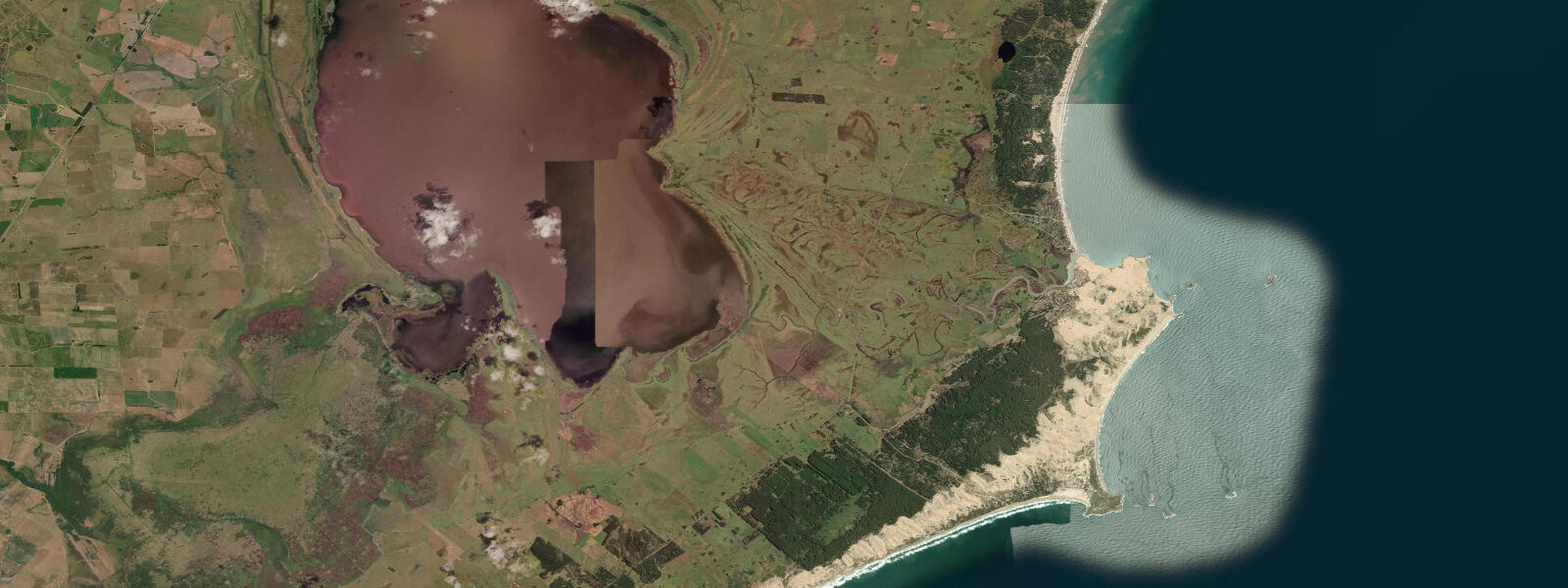
The natural environment between La Pedrera and Cabo Polonio to the east is one of the least-altered coastlines in Uruguay: active dune systems 10 to 20 metres high, seasonally inundated lagoons behind the dune line, and the south Atlantic forest coastal scrub. The Laguna de Rocha, a large coastal lagoon 15 kilometres west of La Pedrera, is a protected wetland with significant water bird populations accessible by kayak. Offshore, the Banco de la Paloma reef system supports artisanal fishing from La Paloma and La Pedrera, targeting sea bass (corvina negra), mullet, and shark.
For photographers, the headland at sunset provides an unobstructed west-facing view with the beach in the foreground and Atlantic horizon behind. The cliffs below the village are 15 to 20 metres of dark volcanic and sedimentary rock, and the contrast between the dark cliff face and the white foam of the surf below is at its best in the two hours before sunset when the light comes from the west and rakes across the rock face.
Tide predictions for La Pedrera come from Open-Meteo Marine, a global gridded ocean model. Accuracy is within plus or minus 45 minutes on timing and 0.2 to 0.3 metres on height. Given the wind dominance of water level variation on this coast, the actual water level on any given day may differ from the astronomical prediction by more than the stated model accuracy; treat the predictions as a tide phase guide and observe actual conditions.
Tide questions about La Pedrera, Uruguay
Quick answers to the most common questions about tide times, range, and water access at La Pedrera, Uruguay.
What makes La Pedrera different from Punta del Este or La Paloma?
La Pedrera is a small village without large hotel infrastructure, organised beach concessions, or a defined nightlife strip. It has attracted a loyal following of Uruguayan and Argentine summer visitors specifically because it lacks what Punta del Este — 90 kilometres west — concentrates. The beach below the clifftop is accessed on foot down the headland path; there is no road directly to the waterfront. The village commerce runs to posadas, a few restaurants, and small provisioning shops. The season is intense in January and February and quiet outside those months. Visitors looking for the most low-key end of the Rocha coast generally compare La Pedrera to Cabo Polonio as the two poles of 'undeveloped' on this section.
What is the tide range at La Pedrera and how much does wind affect water level?
Spring tide range at La Pedrera is typically 0.5 to 1.0 metres — small by Atlantic standards. Two tidal cycles occur per day in a mixed pattern. However, wind-driven water level change on this coast regularly exceeds the astronomical tidal signal. A strong southwesterly blow can raise the actual water level 0.3 to 0.5 metres above predicted tide; a north wind can draw it down by a similar margin, exposing rock and sand well below predicted low water. Treat the tide table as a phase indicator and check the wind forecast to assess actual beach state. Tide predictions come from Open-Meteo Marine, accurate within plus or minus 45 minutes on timing and 0.2 to 0.3 metres on height.
Is there surf at La Pedrera and what swell direction works best?
La Pedrera has both a point break and beach break options. The point off the headland tip responds to south and southeast groundswell at low to mid tide, producing a defined right-hander on the better days. The western beach section picks up the full south-to-southeast Atlantic swell that generates in the Southern Ocean and arrives cleaned up by the long fetch. Swell in the range of 1 to 2 metres is the working window for most surfers; 2 to 3 metres is a solid day by Uruguayan standards. The headland provides a lee-side sheltered zone that stays lighter-wind when the southern coast opens to the swell, which extends the usable surf window. The season runs year-round, with more consistent energy from March through September as Atlantic storm systems track north.
Are there rock pools accessible at low tide near La Pedrera?
The intertidal zone at the base of the La Pedrera headland exposes rock platforms and boulder fields at low water. The platforms hold the typical Atlantic south American intertidal fauna: limpets (Patella species), ribbed mussels, periwinkles, small blennies holding in surge channels, and in the lower pools at the lowest spring tides, starfish, urchins, and occasionally a small octopus in the deeper crevices. Access to the lower platforms requires scrambling over the upper boulder zone; wear closed shoes with grip. The best exploration window is the 90 minutes around predicted low water. Wind-driven water level change means the actual platform exposure can be 20 to 30 centimetres different from the astronomical prediction.
How do I get to La Pedrera from Montevideo or Punta del Este?
La Pedrera is on Route 10 (the coastal route through Rocha department), approximately 230 kilometres from Montevideo and 150 kilometres from Punta del Este by road. By car, the Montevideo drive takes 3 to 3.5 hours; from Punta del Este, 1.5 to 2 hours. Rutas del Sol and other long-distance bus companies serve La Paloma, 12 kilometres west; from there, local taxi or remis to La Pedrera takes 15 minutes. Direct buses from Montevideo's Tres Cruces terminal to Rocha stop at La Pedrera or La Paloma depending on the service; the total journey is 3 to 3.5 hours. In high season (January–February) the buses fill quickly on Friday afternoons from Montevideo.
7-day tide table — La Pedrera, Uruguay
Heights relative to MSL. Predictions: Open-Meteo Marine (MeteoFrance SMOC, 0.08° grid) — heights relative to MSL (not chart datum / LAT). Model-derived.
| Day | Type | Time | Height |
|---|---|---|---|
| Sat 04 Jul | Low | 05:50 | -0.1m |
| High | 09:23 | 0.1m | |
| Low | 17:00 | 0.1m | |
| High | 21:20 | 0.2m | |
| Sun 05 Jul | Low | 13:00 | -0.0m |
| Mon 06 Jul | High | 11:10 | 0.2m |
| Low | 16:50 | 0.2m | |
| High | 22:42 | 0.4m | |
| Tue 07 Jul | — | ||
| Wed 08 Jul | Low | 07:00 | -0.2m |
| High | 13:00 | 0.1m | |
| Low | 18:42 | -0.1m | |
| Thu 09 Jul | High | 01:06 | 0.3m |
| Low | 20:10 | -0.1m | |
| Fri 10 Jul | High | 01:55 | 0.1m |
| Low | 20:00 | -0.2m | |