Playa Pocitos tide times
Playa Pocitos tide forecast — heights relative to MSL.
Today's tide times for Playa Pocitos
Tide times at Playa Pocitos on Sunday, 21 June 2026: first high tide at 06:50am, first low tide at 10:54am, second high tide at 06:50pm, second low tide at 11:06pm. Sunrise 07:52am, sunset 05:40pm.
Tide chart for Playa Pocitos
24-hour cosine-interpolated curve around the present moment. Heights relative to MSL. Predictions: Predictions: Open-Meteo Marine (MeteoFrance SMOC, 0.08° grid).
Sun, moon and conditions on Sun 21 Jun
Snapshot at build time — refreshes daily. Sea state from Open-Meteo Marine.
Highs and lows next 7 days
Every predicted high and low for the next week, with the daily tidal coefficient (0–120; higher = bigger swing, > 95 means stronger currents).
Other spots nearby
The three closest curated TideTurtle locations to Playa Pocitos, measured by great-circle distance.
Today's solunar windows
Solunar tradition: major periods are the ≈3h windows around moon transit and opposition; minor are ≈2h around moonrise and moonset. Pair with the local tide stage and wind for the best read.
Cycle dates near Playa Pocitos
Next spring tide on Sun 21 Jun (range 0.9m). Last neap on Sat 20 Jun. Next neap on Thu 25 Jun.
Spring tides cluster around new and full moons (biggest swings). Neap tides land on quarter moons (smallest swings). See the spring tide and neap tide glossary entries for the why.
About tides at Playa Pocitos
A short guide to the coastline at Playa Pocitos — geography, sea state, and what the tide is actually doing under your feet.
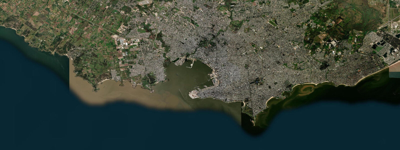
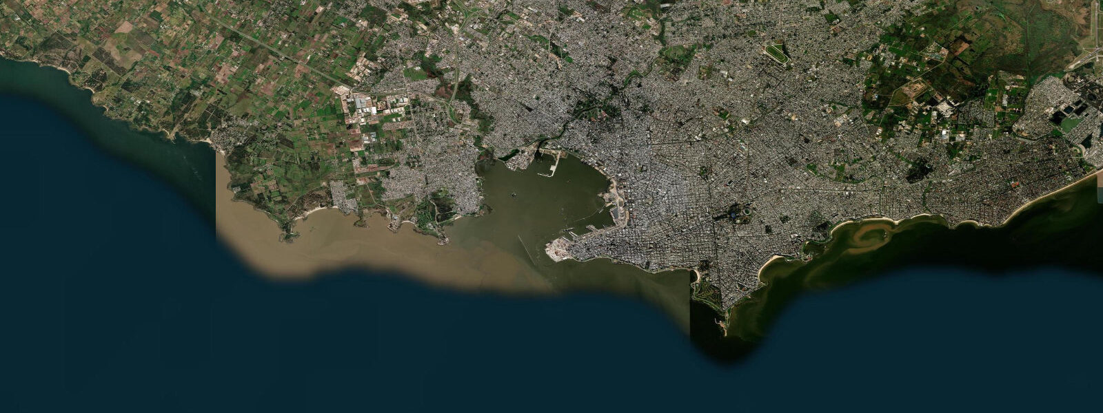
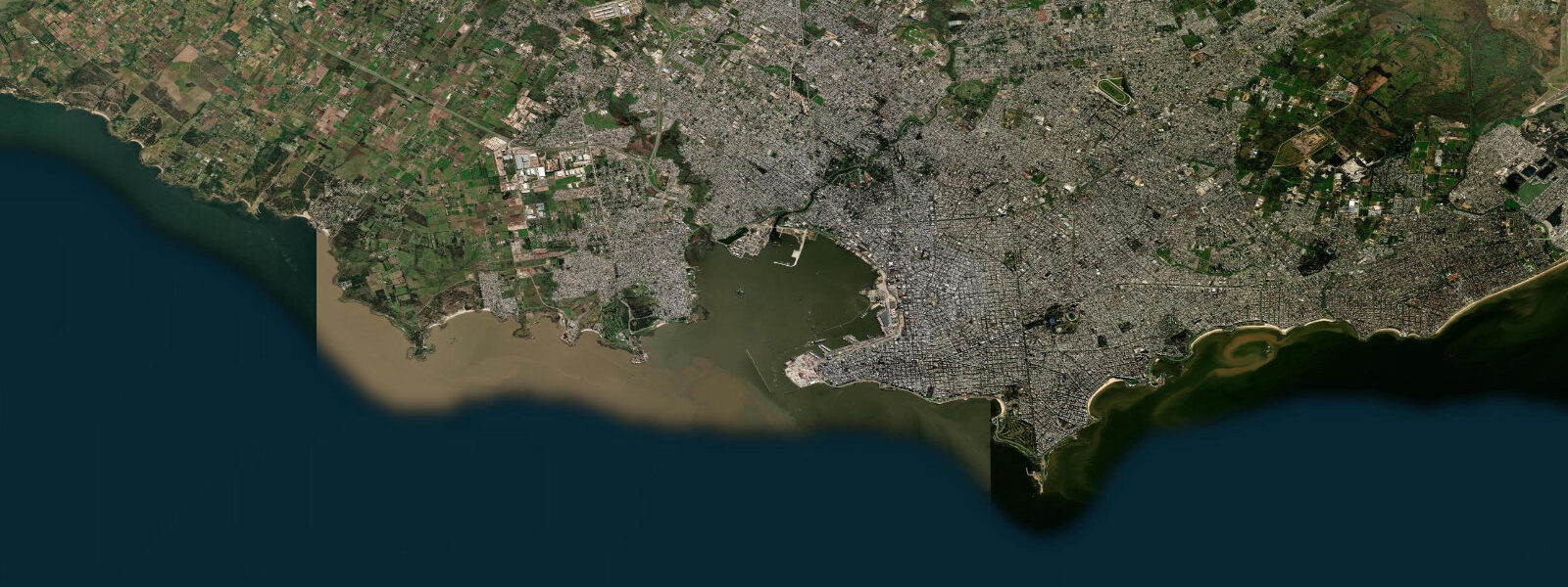
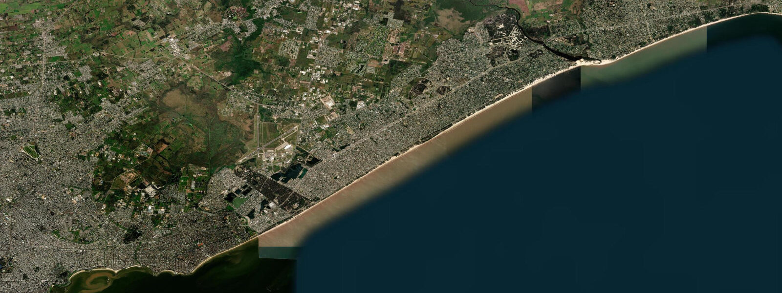
Playa Pocitos is the most-used urban beach in Montevideo, located in the Pocitos neighbourhood about 4 km east of Ciudad Vieja. The beach runs roughly 600 m along the Rambla Wilson; the Pocitos residential towers back it to the north and the Plata opens to the south. In the summer months (December–February) the beach fills to capacity on warm weekend afternoons — the proximity to the city centre, the reliable bus access, and the sheltered NE-facing aspect make it the default Montevideo beach for families.
The tidal regime is the same microtidal Plata signature as all Montevideo beaches: astronomical range 0.3–0.6 m, dominated by wind-surge and meteorological forcing rather than the moon. Pocitos faces northeast, which gives it slightly more shelter from the afternoon SW wind than Ramírez to the west and slightly less direct swell exposure than the eastern Buceo beach. The result is the calmest, most consistent swimming conditions on the Montevideo waterfront.
At low water the beach widens 15–20 m from the high-water mark; the bottom gradient is very gentle, and the water remains knee-deep for 30–40 m at a spring low. This shallow gradient makes the beach excellent for small children. At high water — or during a sudestada surge — the wave energy reaches the beach seawall steps at some sections.
The promenade at Pocitos is busy year-round. The beach is technically open for swimming year-round, though lifeguard service and DINAGUA's active water-quality monitoring run December through March. Winter weekends still bring joggers, cyclists, and open-water swimmers; Pocitos is the home beach for several of Montevideo's open-water swimming clubs, who train in the Plata year-round in 2 km loops parallel to shore.
Fishing from the Rambla Wilson groynes at Pocitos targets the same estuary species as the rest of the Montevideo coast: pejerrey (Odontesthes bonariensis) in autumn and winter, corvina (Micropogonias furnieri) in spring. The groyne at the eastern end of Pocitos, near the Buceo boundary, provides the best current concentration. Shore-casting season peaks May–September at this location; tide state is secondary to water temperature and season.
Tide predictions here come from Open-Meteo Marine: accuracy ±45 min / ±0.2–0.3 m. SOHMA and DINAGUA are the official Uruguayan coastal monitoring authorities.
The Pocitos neighbourhood behind the beach is one of the most densely residential in Montevideo, with high-rise apartment towers from the 1960s–1980s directly facing the water. The neighbourhood has a year-round population; the beach in winter is used by joggers, cyclists, and dog walkers along the Rambla Wilson promenade rather than swimmers. The promenade has coffee stands that operate year-round, providing the defining Montevideo habit of mate-drinking while watching the Plata. The view from Pocitos beach on a clear day extends south across the estuary; the far Argentine bank is not visible (220 km), but the wide grey-brown water and the absence of any horizon-blocking structure gives a genuine sense of the estuary scale.
The Pocitos neighbourhood's high-rise residential character creates a consistent afternoon wind shadow effect: the towers block the early afternoon SW wind from the beach sector immediately in front of them, giving a zone of relative calm before the wind reaches full strength over the open beach to the east. Local beach regulars time their arrival for 14:00–16:00 in this shadow zone. The evening hours (18:00–21:00) are consistently the most popular for the Rambla promenade circuit as the day heat dissipates and the Plata water reflects the sunset light. The view west from Pocitos at sunset, when the Plata horizon glows orange and the far bank remains invisible, captures the scale of the estuary more clearly than any other Rambla section. The wide gentle beach gradient and calm estuary water make Pocitos the default choice for Montevidean families year after year.
Tide questions about Playa Pocitos
Quick answers to the most common questions about tide times, range, and water access at Playa Pocitos.
Why is Playa Pocitos considered the best Montevideo urban beach?
Pocitos faces northeast across the inner Plata, giving it more shelter from the afternoon SW wind than the western beaches and a calmer, more consistent surface than the more exposed eastern beaches. The very gentle bottom gradient keeps it shallow 30–40 m from the waterline, making it safe for children. Proximity to the Pocitos and Parque Rodó neighbourhoods gives easy bus, bike, and walking access. Lifeguards operate December through February. The combination of calm water, easy access, and central location makes it the default choice for most Montevideans. The Pocitos section of the Rambla also carries the highest daily pedestrian traffic of any Montevideo beach section on summer weekend afternoons.
Where do the tide predictions on this page come from?
Open-Meteo Marine, a free gridded global ocean model. Accuracy is typically ±45 minutes on timing and ±0.2–0.3 m on height. The astronomical tidal range at Pocitos is only 0.3–0.6 m; the actual water level on any given day depends heavily on wind and atmospheric pressure rather than the moon. SOHMA (Servicio de Oceanografía, Hidrografía y Meteorología de la Armada) is the official source for Uruguayan tide and sea-level data; DINAGUA monitors water quality. This page is not for navigation. SOHMA also publishes storm-surge advisories for the Río de la Plata when surges above 0.5 m are forecast.
Is it safe to swim year-round at Playa Pocitos?
The beach is open year-round but official lifeguard and water-quality monitoring services run December through March. Winter water temperatures drop to 12–15°C, which limits the swimming population to open-water clubs and cold-water swimmers. Year-round entry is not prohibited but summer hazard flags and warnings only operate during the official season. Avoid swimming 24–48 hours after significant rainfall (more than 20 mm) when urban runoff temporarily elevates bacterial counts. DINAGUA publishes water-quality results online during the monitored season. Open-water swimming clubs train at Pocitos year-round; the club nearest the beach can advise on current water-quality status outside the monitored summer season.
How does a sudestada affect Playa Pocitos?
A sustained sudestada (SE wind) pushes Atlantic water into the Plata estuary, raising water levels at Montevideo 1.0–2.0 m above the predicted astronomical level. At Pocitos the beach slope is gentle; this rise is enough to bring wave action to the Rambla Wilson seawall steps on a strong event. The water turns darker and more turbid as estuary sediment is stirred; DINAGUA may issue a swimming advisory. The sudestada warm air that accompanies the surge makes the conditions humid and muggy — not dangerous, but uncomfortable. SOHMA issues surge warnings for significant events. The inverse barometer effect contributes approximately 1 cm of water-level change per hPa of pressure deviation from the regional mean.
When is the best time to fish from the Pocitos groynes?
Pejerrey (Odontesthes bonariensis) season at Pocitos runs April through October when water temperatures fall below 20°C; early morning and late afternoon consistently produce the best results according to local estuary anglers. The angler tradition rates dawn (05:30–08:00) and the two hours before dusk as the most productive daily windows. Corvina (Micropogonias furnieri) peak in September–November on their inshore spawning run. Tide state at this microtidal location matters less than season and water temperature; the groyne tips at the east end of the beach concentrate the best current seams. The solunar angling tradition rates dawn and dusk windows as productive at Pocitos regardless of the microtidal amplitude — though estuary anglers weight seasonal temperature patterns much more heavily.
7-day tide table — Playa Pocitos
Heights relative to MSL. Predictions: Open-Meteo Marine (MeteoFrance SMOC, 0.08° grid) — heights relative to MSL (not chart datum / LAT). Model-derived.
| Day | Type | Time | Height |
|---|---|---|---|
| Sun 21 Jun | High | 06:50 | 0.2m |
| Low | 10:54 | -0.2m | |
| High | 18:50 | 0.0m | |
| Low | 23:06 | -0.3m | |
| Mon 22 Jun | High | 08:10 | 0.6m |
| Low | 11:37 | 0.3m | |
| High | 20:35 | 0.6m | |
| Tue 23 Jun | Low | 00:19 | 0.2m |
| High | 08:55 | 0.7m | |
| Wed 24 Jun | Low | 01:18 | 0.1m |
| High | 10:10 | 0.7m | |
| Low | 14:00 | 0.4m | |
| High | 19:06 | 0.5m | |
| High | 22:00 | 0.5m | |
| Thu 25 Jun | Low | 08:45 | 0.1m |
| High | 11:03 | 0.2m | |
| Low | 15:00 | -0.1m | |
| High | 23:34 | 0.1m | |
| Fri 26 Jun | Low | 15:42 | -0.3m |
| Sat 27 Jun | High | 00:39 | 0.1m |
| Low | 04:20 | -0.2m | |
| High | 13:25 | 0.2m | |
| Low | 15:56 | 0.1m | |
| High | 20:00 | 0.4m |