Playa Ramírez tide times
Playa Ramírez tide forecast — heights relative to MSL.
Today's tide times for Playa Ramírez
Tide times at Playa Ramírez on Sunday, 21 June 2026: first high tide at 06:50am, first low tide at 11:02am, second high tide at 06:50pm, second low tide at 11:08pm. Sunrise 07:52am, sunset 05:40pm.
Tide chart for Playa Ramírez
24-hour cosine-interpolated curve around the present moment. Heights relative to MSL. Predictions: Predictions: Open-Meteo Marine (MeteoFrance SMOC, 0.08° grid).
Sun, moon and conditions on Sun 21 Jun
Snapshot at build time — refreshes daily. Sea state from Open-Meteo Marine.
Highs and lows next 7 days
Every predicted high and low for the next week, with the daily tidal coefficient (0–120; higher = bigger swing, > 95 means stronger currents).
Other spots nearby
The three closest curated TideTurtle locations to Playa Ramírez, measured by great-circle distance.
Today's solunar windows
Solunar tradition: major periods are the ≈3h windows around moon transit and opposition; minor are ≈2h around moonrise and moonset. Pair with the local tide stage and wind for the best read.
Cycle dates near Playa Ramírez
Next spring tide on Sun 21 Jun (range 1.0m). Last neap on Sat 20 Jun. Next neap on Thu 25 Jun.
Spring tides cluster around new and full moons (biggest swings). Neap tides land on quarter moons (smallest swings). See the spring tide and neap tide glossary entries for the why.
About tides at Playa Ramírez
A short guide to the coastline at Playa Ramírez — geography, sea state, and what the tide is actually doing under your feet.
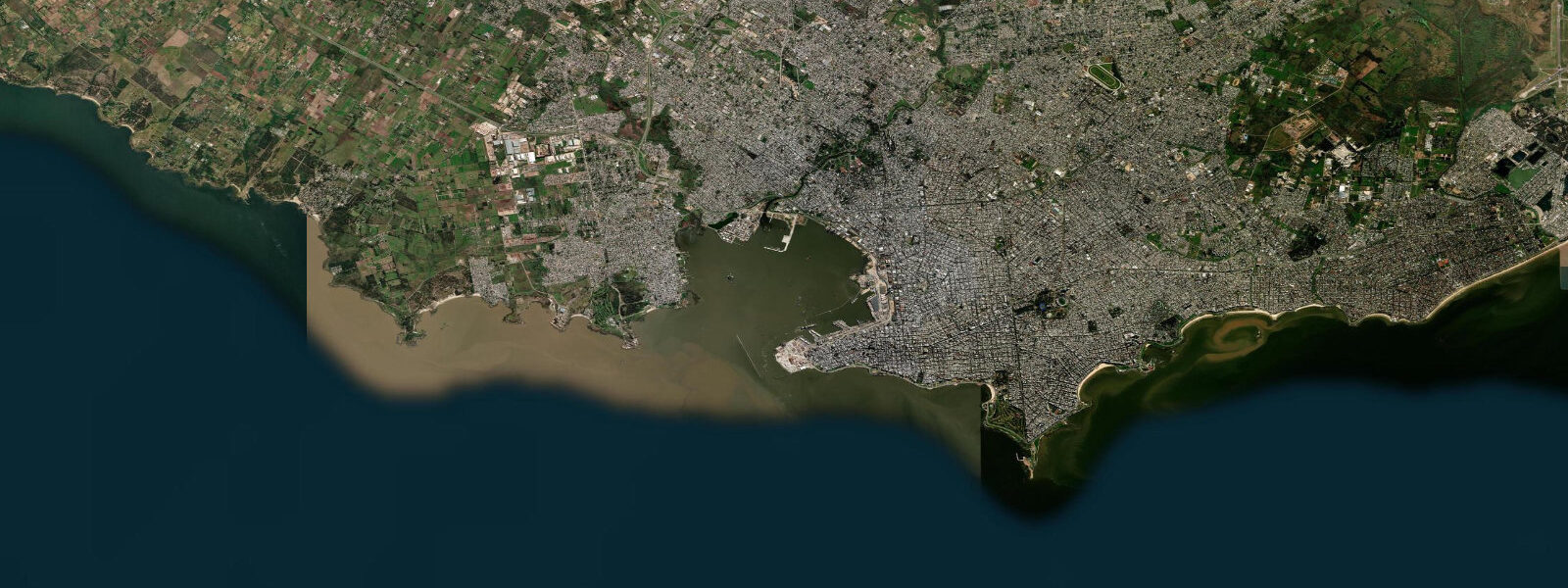
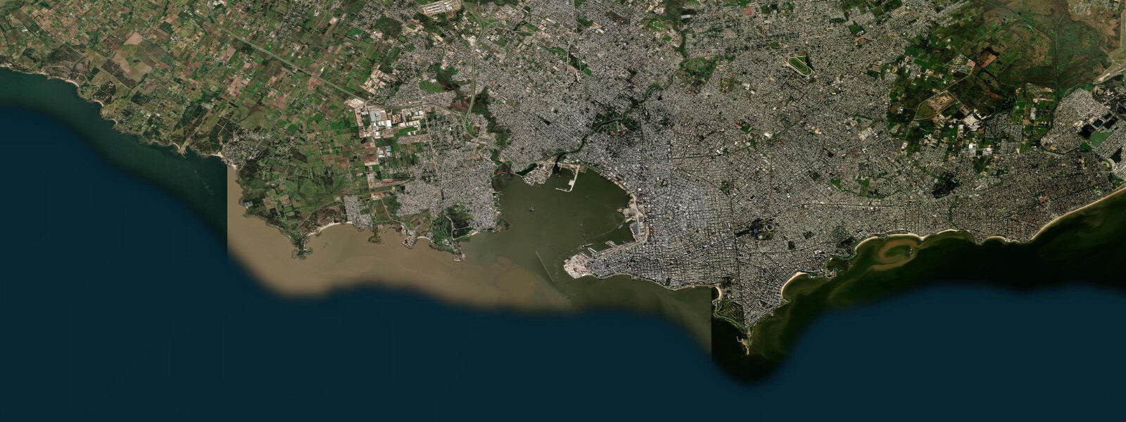
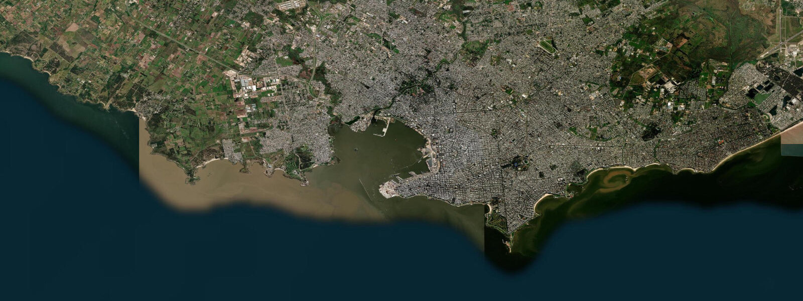
Playa Ramírez sits at the western end of Montevideo's beach strip, immediately east of the Parque Rodó headland and roughly 2 km from Ciudad Vieja. It is the city's most wind-exposed urban beach — the aspect of the beach, open to the SW across the full width of the Río de la Plata, makes it the default venue for kite flying, windsurfing in season, and the most consistent breeze in the city. On most afternoons from October through March, the SW river wind arrives reliably by 13:00.
The tide here is the same microtidal Plata regime as the rest of Montevideo: astronomical range 0.3–0.6 m, dominated by wind surge rather than the moon. The beach at Ramírez faces south-southwest; Parque Rodó's tree-lined promenade is immediately behind it. The beach width at the sand line changes visibly between the predicted astronomical high and low — typically 15–25 m of sand exposed at low water beyond the high-water mark — but the dominant driver of beach width on a given day is the wind-surge state rather than the tidal cycle.
At low water the outer sand bar at Ramírez is exposed 40–60 m from the beach face; the bar is walkable in warm weather. During a mild sudestada the water can push the beach back to the seawall steps before the astronomical high is even reached; during a pampero the beach can be wider than a full spring low would normally produce.
The beach has lifeguard coverage from December through February (the Uruguayan summer). The main activities are swimming in the designated bathing zone, kite flying along the upper beach, and windsurfing from the western access ramp when SW wind exceeds 15 knots. The kite-flying scene at Ramírez is well-organised — the beach is wide enough at low water to keep kite activity separated from the bathing zone.
From the Ramírez rambla section, shore-fishing targets pejerrey and corvina along the groyne structures to the east. The fishing here is the same estuary-style fishing as the rest of the Montevideo Rambla; tide state is secondary to water temperature and season. Open-Meteo Marine provides the predictions here: accuracy ±45 min / ±0.2–0.3 m. SOHMA is the authoritative source for Uruguayan coastal data.
Parque Rodó immediately behind the beach contains the Museo Nacional de Artes Visuales (the largest art museum in Uruguay), the Planetarium, and a boating lake. The park is separated from the beach by the Rambla; the beach walkway connects through a pedestrian crossing. At high water or during a minor sudestada surge, the wave wash occasionally reaches the lower level of the Rambla promenade adjacent to the park entrance; this is not unusual and does not require evacuation, but it limits access to the lower ramp sections.
The beach is also a regular venue for open-water swimming events organised by the Montevideo open-water clubs; the flat, calm estuary surface and the short distances between the beach buoys make it suitable for training swims of 1–3 km parallel to shore. The lack of surf and the low current make it the safest open-water training venue in Montevideo's beach strip.
The Malecón at Ramírez sits 3 m above the beach level at its lowest point; during significant sudestada surge events (water level above 0.8 m above the predicted astronomical level), wave wash reaches the Rambla wall base. These events occur several times per year; the Rambla is designed to withstand them, but walking the lower promenade during an active sudestada is inadvisable. The SOHMA storm-surge watch system issues advisories for events expected to exceed 0.5 m above predicted level. Combining tide state with the weather forecast gives the best planning information for any low-lying beach access at Ramírez.
Tide questions about Playa Ramírez
Quick answers to the most common questions about tide times, range, and water access at Playa Ramírez.
Why is Playa Ramírez known as a kite-flying beach?
Playa Ramírez faces SW across the open Río de la Plata, with an unobstructed fetch of roughly 180 km to the opposite Argentine shore. The afternoon SW wind — driven by thermal circulation over the river and the Pampas — arrives with reliable daily consistency from October through March, typically reaching 15–25 knots between 13:00 and 18:00. The beach is wide enough at low-to-mid tide to separate kite fliers from bathers. The combination of consistent afternoon wind, accessible city beach, and a flat open expanse makes it the natural kite venue for Montevideo. The kite-flying community at Ramírez self-organises around the beach area between the western groyne and the Rodó headland to maintain separation from bathers.
Where do the tide predictions on this page come from?
Open-Meteo Marine, a free gridded global ocean model. Accuracy is typically ±45 minutes on timing and ±0.2–0.3 m on height. At the Plata estuary's microtidal range of 0.3–0.6 m, wind surge matters more than the predicted tide for actual beach water level. SOHMA (Servicio de Oceanografía, Hidrografía y Meteorología de la Armada) is the official source for Uruguayan sea-level data; DINAGUA monitors water quality at Ramírez. This page is not for navigation. DINAGUA publishes beach water-quality results on their public website, updated in near-real-time during the monitored season.
Is Playa Ramírez safe for swimming?
DINAGUA authorises Playa Ramírez for swimming in the December–February summer season when bacteriological quality meets criteria. Lifeguards operate during this period. After heavy rain (more than 20 mm in 24 hours), urban runoff raises bacterial counts and authorities typically post a 24–48 hour advisory. The beach is in the Plata estuary; water is naturally turbid and grey-brown, which is normal for this environment and unrelated to water quality. Avoid the western groyne area where current can run 0.5–1.0 knots on wind-driven set-up. Avoid the 48-hour post-rainfall window after any event above 15 mm at Montevideo Carrasco weather station.
How much does the tide actually change the beach width at Ramírez?
The astronomical tide at Montevideo is 0.3–0.6 m spring range — enough to expose roughly 15–25 m of additional sand between the high and low marks on a calm day. In practice, the beach width on any given day is as much governed by wind-surge as by tide: a moderate sudestada (SE wind) can push the water level 0.5–1.0 m above the predicted value and eliminate the low-water sand; a pampero (SW wind) can lower the level and expose the outer sand bar 40–60 m from the beach face. The tide prediction is a useful baseline, but always combine it with the wind forecast. The outer sand bar that exposes at low water during a pampero is the best position for kite-flying — firm, flat, and 80–100 m from any bathers.
What is the water temperature at Playa Ramírez?
The Río de la Plata at Montevideo ranges from around 12–15°C in winter (June–August) to 22–24°C in summer (December–February). The Plata retains summer heat well because of the shallow, sheltered basin; temperatures at Ramírez are typically 1–2°C warmer than the open Atlantic beaches to the east. Upwelling events driven by strong sustained S-SW winds can temporarily cool the estuary surface by 2–4°C in late spring and early autumn. Seasonal upwelling events linked to sustained pampero winds can temporarily reduce surface temperature by 2–4°C in late spring.
7-day tide table — Playa Ramírez
Heights relative to MSL. Predictions: Open-Meteo Marine (MeteoFrance SMOC, 0.08° grid) — heights relative to MSL (not chart datum / LAT). Model-derived.
| Day | Type | Time | Height |
|---|---|---|---|
| Sun 21 Jun | High | 06:50 | 0.2m |
| Low | 11:02 | -0.3m | |
| High | 18:50 | 0.1m | |
| Low | 23:08 | -0.3m | |
| Mon 22 Jun | High | 08:10 | 0.6m |
| Low | 11:52 | 0.2m | |
| High | 20:35 | 0.6m | |
| Tue 23 Jun | Low | 00:26 | 0.1m |
| High | 08:55 | 0.7m | |
| Low | 13:20 | 0.3m | |
| High | 21:00 | 0.5m | |
| Wed 24 Jun | Low | 01:24 | 0.1m |
| High | 10:06 | 0.7m | |
| Low | 14:15 | 0.4m | |
| High | 19:10 | 0.5m | |
| High | 22:00 | 0.5m | |
| Thu 25 Jun | Low | 04:00 | -0.0m |
| High | 08:00 | 0.1m | |
| High | 10:56 | 0.2m | |
| Low | 15:15 | -0.2m | |
| High | 20:12 | 0.1m | |
| Fri 26 Jun | Low | 04:10 | -0.3m |
| High | 12:05 | 0.0m | |
| Low | 15:50 | -0.3m | |
| High | 21:18 | -0.0m | |
| Low | 21:42 | -0.0m | |
| Sat 27 Jun | High | 00:35 | 0.1m |
| Low | 04:21 | -0.2m | |
| High | 13:24 | 0.2m | |
| Low | 16:07 | 0.1m | |
| High | 20:00 | 0.4m |