Montevideo Rambla tide times
Montevideo Rambla tide forecast — heights relative to MSL.
Today's tide times for Montevideo Rambla
Tide times at Montevideo Rambla on Sunday, 21 June 2026: first high tide at 06:56am, first low tide at 11:06am, second high tide at 07:10pm, second low tide at 11:16pm. Sunrise 07:52am, sunset 05:40pm.
Tide chart for Montevideo Rambla
24-hour cosine-interpolated curve around the present moment. Heights relative to MSL. Predictions: Predictions: Open-Meteo Marine (MeteoFrance SMOC, 0.08° grid).
Sun, moon and conditions on Sun 21 Jun
Snapshot at build time — refreshes daily. Sea state from Open-Meteo Marine.
Highs and lows next 7 days
Every predicted high and low for the next week, with the daily tidal coefficient (0–120; higher = bigger swing, > 95 means stronger currents).
Other spots nearby
The three closest curated TideTurtle locations to Montevideo Rambla, measured by great-circle distance.
Today's solunar windows
Solunar tradition: major periods are the ≈3h windows around moon transit and opposition; minor are ≈2h around moonrise and moonset. Pair with the local tide stage and wind for the best read.
Cycle dates near Montevideo Rambla
Next spring tide on Sun 21 Jun (range 0.9m). Last neap on Sat 20 Jun. Next neap on Fri 26 Jun.
Spring tides cluster around new and full moons (biggest swings). Neap tides land on quarter moons (smallest swings). See the spring tide and neap tide glossary entries for the why.
About tides at Montevideo Rambla
A short guide to the coastline at Montevideo Rambla — geography, sea state, and what the tide is actually doing under your feet.
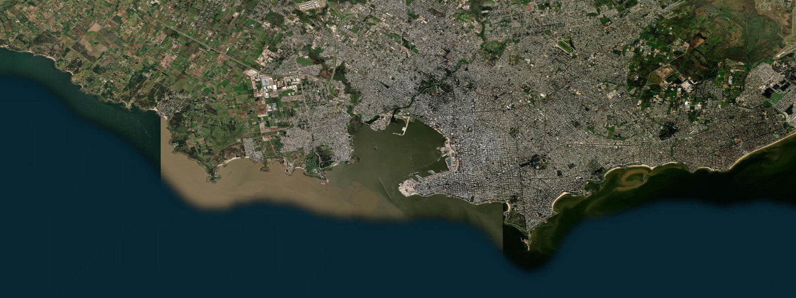
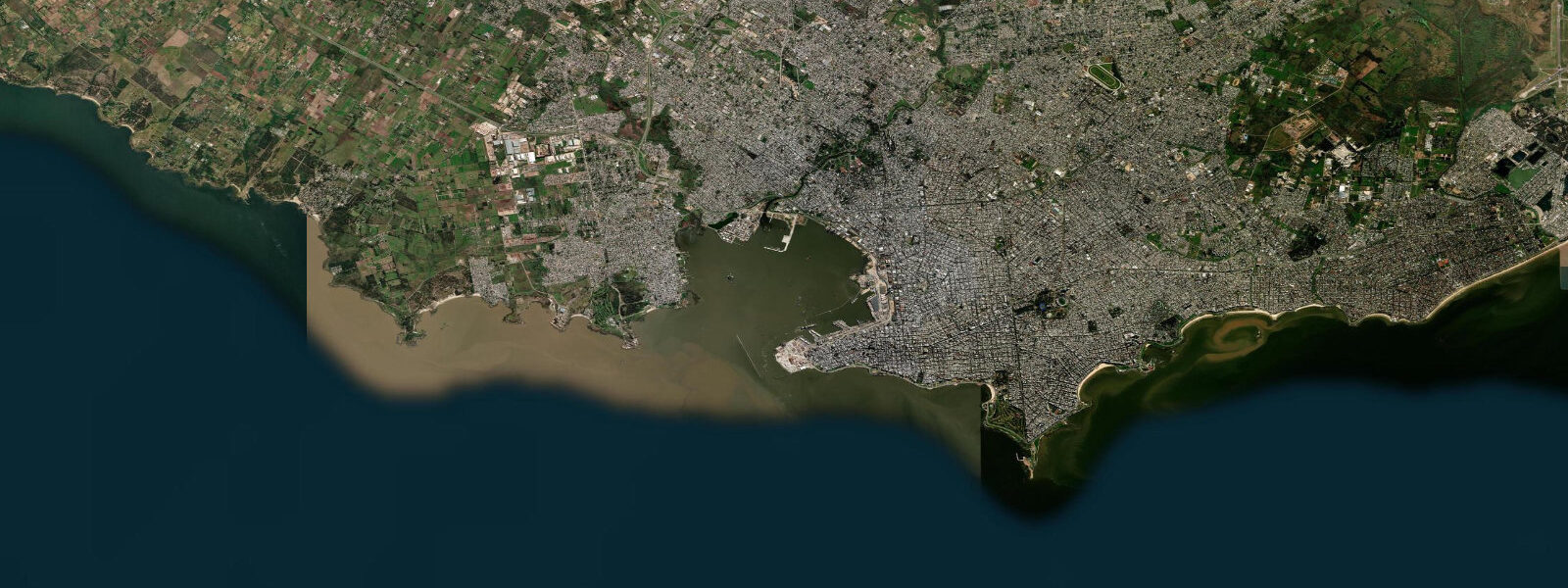
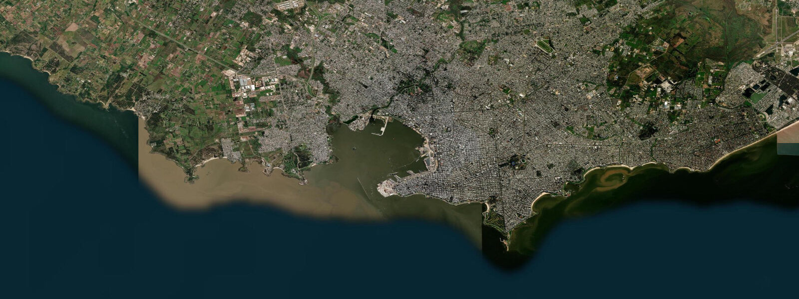
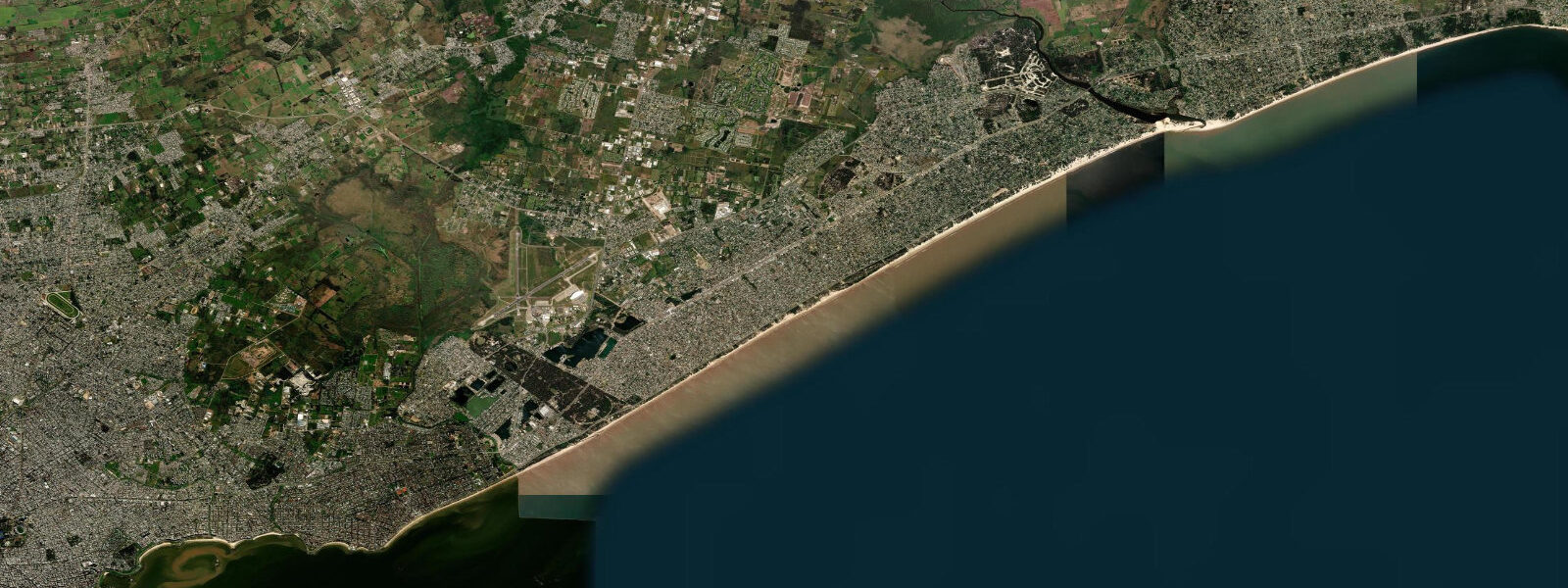
The Rambla of Montevideo runs 22 km along the northern shore of the Río de la Plata, from the rocky walls of Ciudad Vieja in the west past 16 named beaches to the Carrasco suburb in the east. It is one of the longest continuous urban waterfronts in the world and the defining public space of the Uruguayan capital. On any day that is not actively raining, the Rambla carries cyclists, joggers, fishers, mate drinkers, and dog walkers in the same lane.
The tide at Montevideo is microtidal. Astronomical range is only 0.3–0.6 m — one of the smallest tidal signals on any major South American coastal city. The Río de la Plata at Montevideo is 220 km wide and averages around 5 m in depth on the Uruguayan side; the tidal wave from the Atlantic loses most of its amplitude before travelling 150 km up the estuary. What actually moves the water level here is wind. A sustained sudestada — the warm, humid SE flow from the South Atlantic that arrives ahead of cold fronts — pushes water into the estuary from the open ocean side; events can raise Montevideo's water level 1.0–2.0 m above the astronomical prediction and flood the Rambla at particularly large events. The opposite — a sustained SW pampero bringing cold dry air from the Pampas — drives water out of the estuary and lowers Montevideo's coast by 0.5–1.0 m below the predicted level. This tidal vs surge dynamic is the most important thing to understand about Montevideo's coastal water levels.
Fishing from the Rambla walls, groynes, and piers is a permanent feature of the city. The target species are pejerrey (Odontesthes bonariensis) in the shallower water closest to shore, and corvina (Micropogonias furnieri) and dorado (Salminus brasiliensis) in the stronger tidal current zones near the piers and groyne tips. At this low-amplitude location, tide state matters less than water temperature and time of year: pejerrey season runs April through October when water temperatures drop below 20°C; corvina peak in spring (September–November) during their inshore spawning movement. Estuary fishers here primarily read wind and water colour rather than the tide clock.
The Rambla beaches are classified by DINAGUA for water quality; most central beaches (Ramírez, Pocitos, Buceo) are authorised for swimming from December through March. Water clarity in the Plata is naturally turbid — a fine clay suspension from the Paraná and Uruguay rivers — and is entirely distinct from the clear Atlantic water that meets the plume 200 km to the east. This is not an oversight; it is the visual character of the world's widest estuary.
Tide predictions here come from Open-Meteo Marine: accuracy ±45 min / ±0.2–0.3 m, though at 0.3–0.6 m astronomical range, the accuracy class covers a significant fraction of the full tidal signal. SOHMA and SMN Argentina publish storm-surge advisories for the Plata; these are the operationally important forecasts for any tidal flat or low-lying access on the Montevideo Rambla.
The Rambla is also the course for the Maratón de Montevideo (held annually in October), which uses the full eastern stretch of the promenade. The race timing coincides with the tail end of the spring (local spring, September–October), when morning air temperatures are 12–16°C and suitable for running. The Plata water at this time of year has warmed from its winter minimum (around 13°C in August) to 17–19°C — still cold for most people but actively used by the open-water swimming clubs that train year-round. The combination of the promenade length, the flat topography, and the reliably moderate morning temperatures makes the Rambla one of the better running circuits in South America.
Tide questions about Montevideo Rambla
Quick answers to the most common questions about tide times, range, and water access at Montevideo Rambla.
Why is the tide so small at Montevideo?
The Río de la Plata is a very large, very shallow estuary — 220 km wide at Montevideo and around 5 m deep on the Uruguayan side. The tidal wave from the South Atlantic loses most of its amplitude as it travels 150 km upriver to reach Montevideo; the astronomical range at the Rambla is only 0.3–0.6 m. What moves the water level here instead is wind: sustained SE winds (sudestada) can raise levels 1.0–2.0 m above the predicted tide, and SW pampero winds can lower them by 0.5–1.0 m. Checking a weather forecast is more useful than checking the tide table for precise water-level prediction at Montevideo. The Argentine province of Buenos Aires, on the opposite bank 200 km away, experiences the same Plata tidal dynamics with similar range.
When is the best time to fish from the Rambla?
Pejerrey (Odontesthes bonariensis) is the primary target April through October when estuary water temperatures drop below 20°C. Corvina (Micropogonias furnieri) peaks in spring (September–November) during inshore spawning movements. At this low-tidal-range location, tide state matters less than water temperature and season. The angler tradition rates early morning (06:00–09:00) and late afternoon (17:00–19:00) as the most productive windows on any day. The groyne tips and pier ends give access to stronger current zones where larger fish concentrate. The City of Montevideo's DINAGUA portal provides real-time water-level readings from the Montevideo gauge in addition to the SOHMA predictions.
Where do the tide predictions on this page come from?
Open-Meteo Marine, a free gridded global ocean model. Accuracy is typically ±45 minutes on timing and ±0.2–0.3 m on height. At Montevideo's astronomical range of 0.3–0.6 m, this accuracy class covers a large fraction of the full signal; the model's prediction of high and low is directionally correct but the precise water level at any given hour depends heavily on wind and atmospheric pressure. SOHMA (Servicio de Oceanografía, Hidrografía y Meteorología de la Armada) publishes official Uruguayan sea-level data; SMN Argentina publishes Plata estuary storm-surge forecasts. This page is not for navigation.
Is the water on the Montevideo Rambla beaches safe to swim in?
DINAGUA (Dirección Nacional de Aguas) classifies and monitors water quality at the Rambla beaches annually. Most central beaches — Ramírez, Pocitos, Buceo — are authorised for swimming in the summer season (December through March). Bacteriological quality is affected by rainfall events that increase urban runoff; avoid swimming for 24–48 hours after heavy rain. The Plata water is naturally turbid (grey-brown clay suspension from the Paraná and Uruguay rivers); turbidity is normal for this estuary and not an indicator of pollution.
What happens to the Rambla during a sudestada?
A sudestada is a sustained SE wind event that pushes Atlantic water into the Plata estuary against the river outflow. Water levels at the Montevideo Rambla can rise 1.0–2.0 m above the predicted astronomical level during a strong sudestada — enough to flood the Rambla promenade at the lower sections near Ciudad Vieja and to submerge the groyne steps along the eastern beaches. SOHMA and SMN Argentina issue storm-surge advisories during significant events; monitor these forecasts rather than the tide prediction alone during active weather.
7-day tide table — Montevideo Rambla
Heights relative to MSL. Predictions: Open-Meteo Marine (MeteoFrance SMOC, 0.08° grid) — heights relative to MSL (not chart datum / LAT). Model-derived.
| Day | Type | Time | Height |
|---|---|---|---|
| Sun 21 Jun | High | 06:56 | 0.2m |
| Low | 11:06 | -0.2m | |
| High | 19:10 | 0.0m | |
| Low | 23:16 | -0.3m | |
| Mon 22 Jun | High | 08:18 | 0.6m |
| Low | 11:56 | 0.3m | |
| Tue 23 Jun | High | 09:00 | 0.7m |
| Wed 24 Jun | Low | 01:24 | 0.1m |
| High | 10:10 | 0.7m | |
| Low | 14:18 | 0.4m | |
| Low | 15:50 | 0.4m | |
| High | 19:10 | 0.5m | |
| High | 22:00 | 0.5m | |
| Thu 25 Jun | Low | 04:40 | -0.0m |
| High | 08:06 | 0.1m | |
| High | 11:00 | 0.2m | |
| Low | 21:00 | 0.0m | |
| High | 23:34 | 0.1m | |
| Fri 26 Jun | Low | 16:00 | -0.3m |
| Sat 27 Jun | High | 13:20 | 0.2m |
| Low | 16:03 | 0.1m | |
| High | 20:00 | 0.4m |