Salinas, Uruguay tide times
Salinas, Uruguay tide forecast — heights relative to MSL.
Today's tide times for Salinas, Uruguay
Tide times at Salinas, Uruguay on Saturday, 4 July 2026: first high tide at 12:10am, second high tide at 02:50am, first low tide at 09:10am, third high tide at 03:45pm, second low tide at 09:06pm. Sunrise 07:51am, sunset 05:44pm.
Tide chart for Salinas, Uruguay
24-hour cosine-interpolated curve around the present moment. Heights relative to MSL. Predictions: Predictions: Open-Meteo Marine (MeteoFrance SMOC, 0.08° grid).
Sun, moon and conditions on Sat 04 Jul
Snapshot at build time — refreshes daily. Sea state from Open-Meteo Marine.
Highs and lows next 7 days
Every predicted high and low for the next week, with the daily tidal coefficient (0–120; higher = bigger swing, > 95 means stronger currents).
Other spots nearby
The three closest curated TideTurtle locations to Salinas, Uruguay, measured by great-circle distance.
Today's solunar windows
Solunar tradition: major periods are the ≈3h windows around moon transit and opposition; minor are ≈2h around moonrise and moonset. Pair with the local tide stage and wind for the best read.
Cycle dates near Salinas, Uruguay
Next spring tide on Thu 09 Jul (range 0.3m). Next neap on Sun 05 Jul.
Spring tides cluster around new and full moons (biggest swings). Neap tides land on quarter moons (smallest swings). See the spring tide and neap tide glossary entries for the why.
About tides at Salinas, Uruguay
A short guide to the coastline at Salinas, Uruguay — geography, sea state, and what the tide is actually doing under your feet.
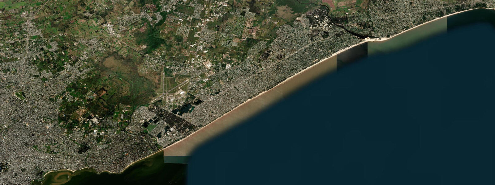
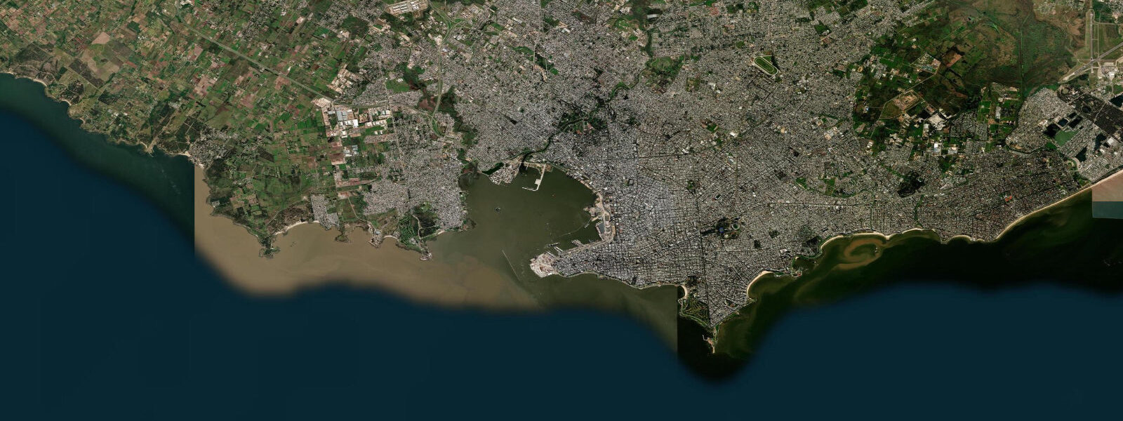
Salinas is a beach town 25 km east of Montevideo on the Canelones coast, one of the closest sea-facing destinations to the capital on Route 11. The proximity to Montevideo (35–40 minutes by bus or car) makes it the default weekend beach for residents of the eastern suburbs and Barros Blancos. The town is denser and more year-round in character than the resort-only towns further east — it has a permanent population of around 3,000 and the street grid extends back from the beach into residential blocks with supermarkets, pharmacies, and schools.
The coastal regime is Río de la Plata southern shore: wind-dominated water levels. Open-Meteo Marine provides forecast data — timing accuracy ±45 minutes, height accuracy ±0.2–0.3 m for the tidal component. The dominant driver of water level at Salinas is wind: sudestadas raise levels 0.5–2 m; NW winds lower them. The astronomical tidal range is 0.3–0.6 m. The beach faces north-northwest across the estuary, somewhat more sheltered from direct Atlantic weather than the beaches east of Punta del Este.
For beach families, Salinas offers the convenience of proximity: if conditions look right at 8 am, you can be at the beach by 9 am without a multi-hour drive. The beach is 2 km of grey-brown sand, gently sloping, with calm water under SW to W wind conditions that prevail in summer. The main beach access has lifeguards in peak season (December–March) and the standard public beach infrastructure. Water temperature in January–February reaches 20–22°C. The beach fills significantly on summer weekends — arrive before 10 am for a quiet spot.
Anglers work the beach for corvina on incoming tides throughout the year, with the summer (November–March) providing the best water temperatures for active fish. Pejerrey are accessible from the rocky breakwaters at either end of the town beach. The Arroyo Carrasco mouth, 4 km west toward Montevideo, is a productive snook and tarpon location on incoming tides in summer — the urban outskirts of Montevideo don't reduce fish populations on that stretch of coast, which still holds decent tarpon runs from October through April.
Kayakers and SUP users find Salinas Bay workable for morning sessions before the wind activates — the same trade wind pattern as the rest of the Canelones coast means calm mornings and increasingly choppier conditions from midday. The shallow estuary water (3–6 m depth 500 m offshore) and sandy bottom make capsizes recoverable. SUP boards are available for hire from the beach rental operators in season.
Photographers working the winter Salinas coast get the stark version of the estuary: brown water, grey sky, the smudge of Montevideo's high-rises visible 25 km west across the flat water on clear days. The Sunday morning surfer crowd on the 3–4 km eastern beach stretch (where the bottom contour catches the NE chop) makes for active beach-sport photography in the off-peak season.
Tide questions about Salinas, Uruguay
Quick answers to the most common questions about tide times, range, and water access at Salinas, Uruguay.
How do I get from Montevideo to Salinas?
Route 11 connects Montevideo to Salinas directly. By car or motorbike the trip takes 35–40 minutes from the city centre. CUTCSA bus services run from Montevideo's terminal to Salinas year-round with increased frequency on summer weekends (December–March). The bus trip takes approximately 45–55 minutes depending on stops. COT and Copay inter-urban buses also serve the route as part of the Canelones-coast service toward Atlántida. Cycling the coastal path from Montevideo's Rambla to Salinas is a 30–35 km ride that passes through several coastal towns and is feasible on a flat route with separated bike path through the urban section.
What surf conditions does Salinas get?
Salinas faces north-northwest across the Río de la Plata and receives wind-chop rather than ocean groundswell. The waves are typically 0.3–0.8 m, short-period, and messy — suitable for learners on longboards and beginners on bodyboards, but not for experienced wave riders seeking clean surf. During cold fronts with NE to E wind, short-period swell of 1–1.5 m reaches the beach, and the eastern section of the town beach (where the bottom contour creates slight improvement) produces rideable waves. Committed surfers travel further east to La Paloma, La Pedrera, or Punta del Diablo (3–4 hours east) for consistent Atlantic groundswell. Salinas is strictly a convenience option for Montevideo residents on a low-swell day.
What fishing is accessible from Salinas?
Corvina blanca and pejerrey are the primary beach-fishing targets year-round, with the incoming tide window (two hours before to one hour after high water) consistently most productive. The rocky breakwaters at the east and west ends of the main beach concentrate pejerrey in winter when cool water brings them to the rocks. Tidal data from Open-Meteo Marine carries ±45-minute timing and ±0.2–0.3 m height accuracy — the wind component can shift the actual high-water timing and level by more than this in storm conditions. The Arroyo Carrasco, 4 km west, holds snook and occasional tarpon from October to April on incoming tides: best accessed by kayak or panga from the arroyo mouth, using 10–20 lb fluorocarbon leader with surface lures at dawn.
Is the estuary water at Salinas suitable for swimming?
The water is safe for swimming — Intendencia de Canelones monitors beach water quality on the Canelones coast and posts flag advisories. Brown colour is from natural river sediment carried from the Paraná-Uruguay system and does not indicate contamination; clarity is typically 0.5–2 m visibility depending on recent wind and river conditions. The main water quality risk is post-heavy-rain runoff from urban Montevideo drainage that affects the beaches closest to the city — Salinas, being 25 km east, is less exposed to that issue than the Montevideo coastal beaches. Check the Canelones beach flag status before swimming after significant rainfall.
What is the tidal range at Salinas and when does high tide occur?
The astronomical tidal range at Salinas is 0.3–0.6 m — small compared to ocean coasts. The Río de la Plata tidal cycle has a mixed character with approximately two tides per day but irregular heights. Open-Meteo Marine models this component with ±45-minute timing accuracy and ±0.2–0.3 m height accuracy. The total water level variability at Salinas is dominated by wind-driven setup: sustained SE winds (sudestadas, most common May–September) can raise the level by 1–2 m above prediction, while NW winds lower it. Anglers and swimmers planning around the tide should check both the tide forecast and the meteorological forecast for wind direction and strength before finalising timing.
7-day tide table — Salinas, Uruguay
Heights relative to MSL. Predictions: Open-Meteo Marine (MeteoFrance SMOC, 0.08° grid) — heights relative to MSL (not chart datum / LAT). Model-derived.
| Day | Type | Time | Height |
|---|---|---|---|
| Sat 04 Jul | High | 00:10 | 0.3m |
| High | 02:50 | 0.3m | |
| Low | 09:10 | 0.0m | |
| High | 15:45 | 0.1m | |
| Low | 21:06 | -0.1m | |
| Sun 05 Jul | High | 00:12 | 0.1m |
| Low | 09:50 | -0.0m | |
| High | 12:06 | 0.1m | |
| High | 16:15 | 0.1m | |
| Mon 06 Jul | Low | 10:15 | 0.2m |
| High | 12:50 | 0.3m | |
| Low | 14:50 | 0.2m | |
| High | 17:00 | 0.3m | |
| Low | 22:10 | 0.1m | |
| Tue 07 Jul | High | 05:37 | 0.4m |
| Low | 15:45 | 0.1m | |
| High | 17:38 | 0.2m | |
| Wed 08 Jul | Low | 03:42 | -0.0m |
| High | 15:10 | 0.1m | |
| Low | 15:45 | 0.1m | |
| Thu 09 Jul | High | 03:21 | 0.3m |
| Low | 04:00 | 0.2m | |
| High | 06:55 | 0.3m | |
| Low | 12:50 | 0.2m | |
| High | 15:10 | 0.2m | |
| Low | 18:00 | 0.1m | |
| High | 18:42 | 0.2m | |
| Fri 10 Jul | Low | 01:18 | -0.2m |
| High | 08:00 | 0.1m | |
| Low | 13:00 | 0.0m | |
| High | 16:50 | 0.1m |