Tenby tide times
Tenby tide forecast — heights relative to MSL.
Today's tide times for Tenby
Tide times at Tenby on Friday, 19 June 2026: first high tide at 01:00, first low tide at 03:44, second high tide at 09:43, second low tide at 16:01, third high tide at 22:03. Sunrise 05:00, sunset 21:39.
Tide chart for Tenby
24-hour cosine-interpolated curve around the present moment. Heights relative to MSL. Predictions: Predictions: Open-Meteo Marine (MeteoFrance SMOC, 0.08° grid).
Sun, moon and conditions on Fri 19 Jun
Snapshot at build time — refreshes daily. Sea state from Open-Meteo Marine.
Highs and lows next 7 days
Every predicted high and low for the next week, with the daily tidal coefficient (0–120; higher = bigger swing, > 95 means stronger currents).
Other spots nearby
The three closest curated TideTurtle locations to Tenby, measured by great-circle distance.
Today's solunar windows
Solunar tradition: major periods are the ≈3h windows around moon transit and opposition; minor are ≈2h around moonrise and moonset. Pair with the local tide stage and wind for the best read.
Cycle dates near Tenby
Last spring tide on Fri 19 Jun (range 6.5m / 21.4ft). Next neap on Thu 25 Jun.
Spring tides cluster around new and full moons (biggest swings). Neap tides land on quarter moons (smallest swings). See the spring tide and neap tide glossary entries for the why.
About tides at Tenby
A short guide to the coastline at Tenby — geography, sea state, and what the tide is actually doing under your feet.
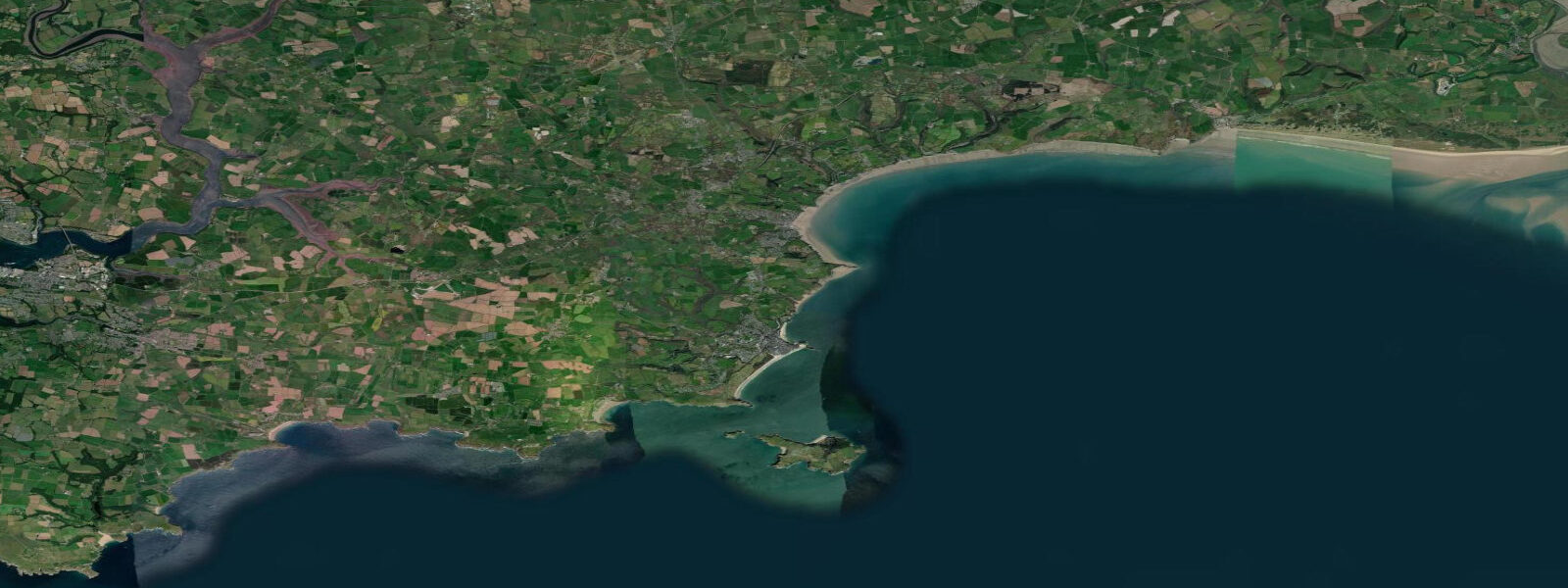
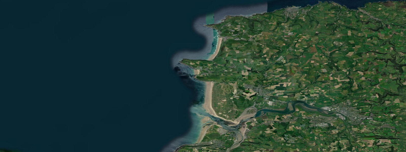
Tenby is a walled medieval town on the Pembrokeshire coast of southwest Wales, with two main beaches — North Beach and South Beach — separated by the headland on which the old town walls still stand. The Pembrokeshire Coast National Park surrounds the town on three sides. Tidal range is macrotidal: mean spring range around 4.7 metres, neaps about 3.1 m. At low water on a spring tide, both beaches expand considerably and Caldey Island (4 km offshore) is surrounded by exposed reef platforms.
Caldey Island is one of the key Tenby experiences. A Cistercian monastic community has been based there since 1929; the monks produce perfume and shortbread sold at the island shop. The passenger ferry runs from Castle Beach in Tenby from Easter through October, with services timed around the tidal conditions — the boat uses the harbour slip below the old town walls. The island has cliff walks, a lighthouse, and several beach bays that are entirely devoid of commercial development.
The Pembrokeshire coast is one of the finest sea kayaking destinations in Britain. The tidal currents through Caldey Sound and around the headlands (Giltar Point, Stackpole Head, St Govan's Head) are powerful on springs; the sea cliffs contain extensive cave and arch systems accessible only by sea. The Pembrokeshire Sea Kayak Trail is a multi-day route along the full national park coastline. Most guided trips depart from Tenby or from Manorbier Bay.
Surfing in south Pembrokeshire centres on Manorbier Bay (10 km west) and Freshwater West (20 km west), rather than Tenby's sheltered beaches. The Bristol Channel swell window produces rideable surf from southwest storms in autumn and winter. Freshwater West is exposed and powerful — beautiful for photographs, demanding for surfing, and has strong rip currents in swell.
For families, South Beach is the main destination — 2.5 kilometres of sand that fills with people in July and August but is wide enough at low tide to accommodate them. Crabbing lines off the harbour walls is the standard child's activity; the harbour dries at low water but crabs hold in the pools near the wall base. Rock pooling on the north side of the headland at low spring tides reveals the Pembrokeshire intertidal fauna: starfish, shore crabs, hermit crabs, anemones.
Tide predictions on this page come from Open-Meteo Marine, a gridded global ocean model, cross-referenced with UK Environment Agency gauge data. For the most accurate local predictions, consult the UK National Tide Gauge Network via CEFAS or the UKHO's EasyTide service.
Tide questions about Tenby
Quick answers to the most common questions about tide times, range, and water access at Tenby.
What is the tidal range at Tenby?
Tenby has macrotidal conditions — mean spring range of about 4.7 metres. At low water on a spring tide, the beaches expand dramatically and the harbour dries completely. North Beach and South Beach are fully accessible across most of the tidal cycle, but the widest sand sections and the best rock pooling are only accessible in the 2 to 3 hours around low water on spring tides.
How do I get to Caldey Island?
Caldey Island passenger ferries depart from Castle Beach in Tenby, Easter through October. The service is operated by licensed boatmen and runs frequently in summer (every 20 to 30 minutes when busy). Journey time is about 20 minutes. Services depend on weather and tidal conditions; the boats may not run in strong winds or rough seas. Last return time varies by season — check with the Tenby harbour office on arrival. Dogs are not permitted on the island.
Is sea kayaking around Tenby suitable for beginners?
The Tenby area has tidal currents that are not suitable for beginner kayakers without a guide. Caldey Sound in particular runs 2 to 3 knots on spring tides, and the exposed headlands around St Govan's and Stackpole produce powerful tidal races. Guided trips are available from Tenby and Manorbier — providers adjust routes for conditions and skill level. Independent paddling in the sheltered bay immediately in front of Tenby (Carmarthen Bay side) is calmer, but requires awareness of ferry traffic.
What is the best beach for families near Tenby?
South Beach, directly south of the old town walls, is the main family beach — 2.5 km of sand with lifeguard coverage in summer and good facilities. Castle Beach (below the castle, between the town headland and the harbour) is smaller but sheltered and has rock pools. North Beach is also sandy and wide at low tide, facing northeast and less sheltered than South. All three are within walking distance of the town centre.
Are there surf spots near Tenby?
Tenby's own beaches face east into Carmarthen Bay, which has too little swell fetch for consistent surfing. The main Pembrokeshire surf spots are to the west: Manorbier Bay (10 km), Freshwater East (8 km), and Freshwater West (20 km). Freshwater West is a National Trust beach with exposed, powerful southwest swell — best for experienced surfers. Manorbier is more sheltered and better for intermediates. Both work best on southwest to west swells in autumn and winter.
8-day tide table — Tenby
Heights relative to MSL. Predictions: Open-Meteo Marine (MeteoFrance SMOC, 0.08° grid) — heights relative to MSL (not chart datum / LAT). Model-derived.
| Day | Type | Time | Height |
|---|---|---|---|
| Fri 19 Jun | High | 01:00 | -1.2m / -3.9ft |
| Low | 03:44 | -3.6m / -11.7ft | |
| High | 09:43 | 2.8m / 9.3ft | |
| Low | 16:01 | -3.2m / -10.6ft | |
| High | 22:03 | 3.0m / 9.8ft | |
| Sat 20 Jun | Low | 04:35 | -3.4m / -11.1ft |
| High | 10:31 | 2.3m / 7.6ft | |
| Low | 16:50 | -3.1m / -10.3ft | |
| High | 22:54 | 2.5m / 8.1ft | |
| Sun 21 Jun | Low | 05:24 | -3.2m / -10.4ft |
| High | 11:25 | 2.0m / 6.5ft | |
| Low | 17:40 | -2.8m / -9.2ft | |
| High | 23:49 | 2.2m / 7.2ft | |
| Mon 22 Jun | Low | 06:12 | -2.8m / -9.1ft |
| High | 12:21 | 1.8m / 6.1ft | |
| Low | 18:34 | -2.5m / -8.3ft | |
| Tue 23 Jun | High | 00:48 | 1.9m / 6.2ft |
| Low | 07:07 | -2.5m / -8.3ft | |
| High | 13:22 | 1.5m / 5.0ft | |
| Low | 19:28 | -2.4m / -8.0ft | |
| Wed 24 Jun | High | 01:53 | 1.7m / 5.5ft |
| Low | 08:01 | -2.4m / -7.7ft | |
| Thu 25 Jun | High | 02:56 | 1.7m / 5.7ft |
| Low | 09:01 | -2.3m / -7.4ft | |
| Fri 26 Jun | High | 00:00 | -1.0m / -3.3ft |