Minehead tide times
Minehead tide forecast — heights relative to MSL.
Today's tide times for Minehead
Tide times at Minehead on Saturday, 27 June 2026: first low tide at 01:00, first high tide at 04:51, second low tide at 10:39, second high tide at 17:15, third low tide at 23:14. Sunrise 04:59, sunset 21:33.
Tide chart for Minehead
24-hour cosine-interpolated curve around the present moment. Heights relative to MSL. Predictions: Predictions: Open-Meteo Marine (MeteoFrance SMOC, 0.08° grid).
Sun, moon and conditions on Sat 27 Jun
Snapshot at build time — refreshes daily. Sea state from Open-Meteo Marine.
Highs and lows next 7 days
Every predicted high and low for the next week, with the daily tidal coefficient (0–120; higher = bigger swing, > 95 means stronger currents).
Other spots nearby
The three closest curated TideTurtle locations to Minehead, measured by great-circle distance.

Today's solunar windows
Solunar tradition: major periods are the ≈3h windows around moon transit and opposition; minor are ≈2h around moonrise and moonset. Pair with the local tide stage and wind for the best read.
Cycle dates near Minehead
Next spring tide on Wed 01 Jul (range 8.0m / 26.1ft). Last neap on Sat 27 Jun.
Spring tides cluster around new and full moons (biggest swings). Neap tides land on quarter moons (smallest swings). See the spring tide and neap tide glossary entries for the why.
About tides at Minehead
A short guide to the coastline at Minehead — geography, sea state, and what the tide is actually doing under your feet.
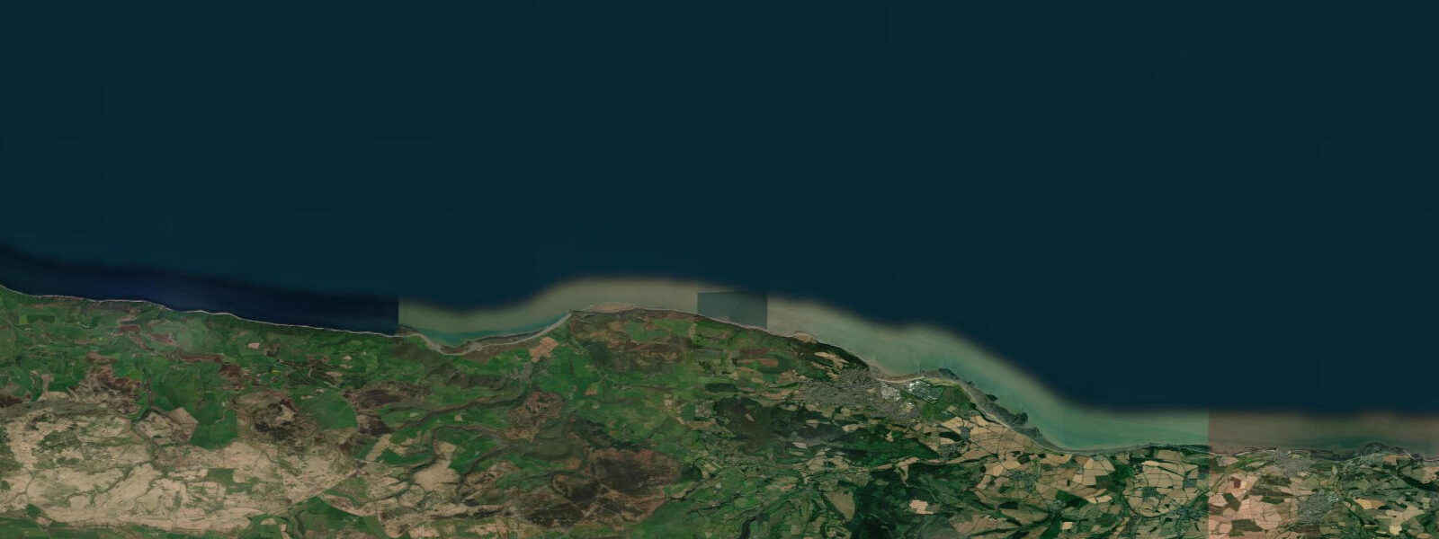
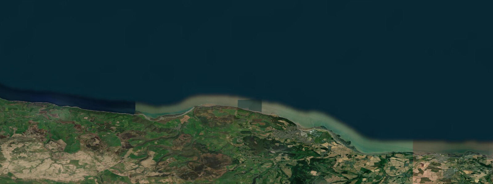
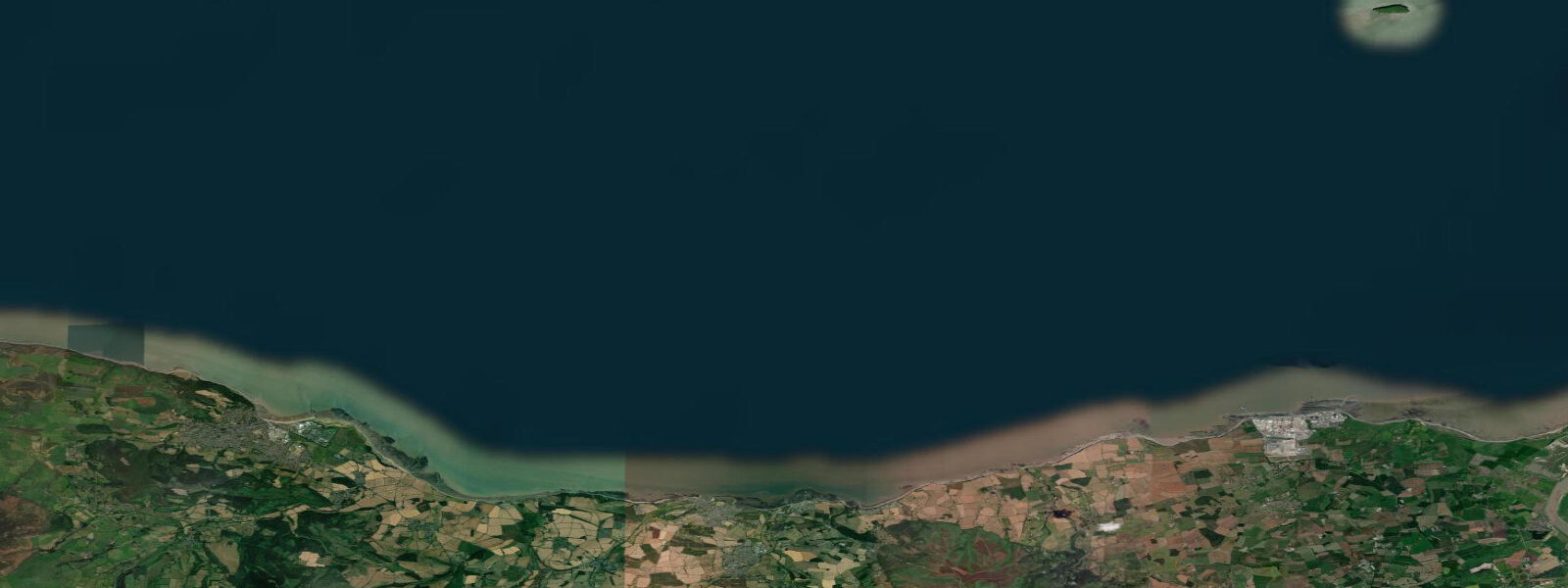
Minehead sits at the eastern edge of Exmoor National Park where the Bristol Channel's macro-tidal regime reaches the Somerset coast in full force. Spring tidal range here is approximately 9.0 m — not the extremity of Burnham-on-Sea's 12 m, but still among the largest ranges in the British Isles. The tidal cycle is semidiurnal. What this means practically: at mean low water springs, the sea retreats across the beach and into Minehead Bay for well over a kilometre, leaving a vast expanse of wet sand and muddy channels that takes two to three hours to reclaim on the flood.
The beach at Minehead faces north into the Bristol Channel. At high water it is a conventional, if narrow, sand and gravel shore backed by the Victorian promenade. As the tide falls, the beach widens progressively: at half-tide the sand extends 400 m; at low water springs it approaches and sometimes exceeds a kilometre of exposed ground, with drainage channels cutting across the surface. These channels are shallow and crossable on foot but their position shifts with each tide.
The critical safety consideration at Minehead and all the Somerset coast is the returning flood. The Bristol Channel tides are driven by a long Atlantic wave amplified in the narrowing funnel of the channel; at Minehead the flood arrives steadily but relentlessly across ground with almost no gradient. The speed of advance across the flat beach can exceed 4 to 5 km/h in the final third of the flood as the water approaches the high-water mark. Anyone standing 600 m from shore as the flood begins has a comfortable margin; anyone who has wandered to the waterline 30 minutes before low water and paused to investigate a channel needs to be moving back before the flood starts, not after.
Gore Point, 2 km east of Minehead along the coastal path, can be reached on foot across the exposed flats at extreme low water springs. The walk takes 30 to 40 minutes along the sand from the east end of the promenade. The point reveals rockpools, exposed reef, and clear water on neap tides. Return the same way, leaving the point no later than 90 minutes after low water. The coastal path above offers an alternative return at any state of tide.
Families with children use the upper beach near the promenade confidently within 2 hours either side of high water. The sand here is compact and safe; the water is shallow and the undertow modest by open-coast standards. Avoid taking children onto the lower flats beyond 300 m from the sea wall during the ebb. The visual cue is simple: if you can no longer clearly see the path back to the promenade, you are too far out.
Bass and flatfish are the main angling targets. The incoming tide pushes bass into the bay from 2 hours before predicted high water; fish from the pier or the rock groyne on the west side of the bay on a rising tide with sandeel or ragworm. Flounder show well on the last quarter of the ebb over the sandy channel bottoms at the mid-beach level from September through March.
For photographers, the combination of Exmoor's hills behind and the vast sand sheet in front at low water is the landscape signature of Minehead. The view west toward Culbone and the heather-topped cliffs of North Exmoor at a low-water evening light is one of the best on the Bristol Channel coast. The West Somerset Railway terminus at Minehead is also a legitimate foreground subject — the steam railway runs parallel to the seafront and can be incorporated into coastal compositions at high water when the beach is at its narrowest.
Tidal predictions here use the Open-Meteo Marine gridded model (±45 minutes on timing, ±0.3 m on height). Not for navigation.
Tide questions about Minehead
Quick answers to the most common questions about tide times, range, and water access at Minehead.
How far does the tide go out at Minehead?
At mean low water springs, the tide retreats approximately 1 kilometre from the sea wall at Minehead, exposing a wide expanse of sand and muddy channels across Minehead Bay. The precise distance varies with the lunar cycle; at the lowest spring tides the figure can exceed 1 km. Neap low tides retreat 400 to 500 m. The spring tidal range is approximately 9.0 m. The flats are accessible for two to three hours either side of low water before the flood returns. Always plan your return well before the flood begins — the tide advances faster than walking pace in the final third.
Is it safe to walk on the tidal flats at Minehead?
Walking on the tidal flats at Minehead is safe if you manage the time carefully. The upper beach within 300 m of the sea wall is safe for family use within 2 hours either side of high water. Further out, onto the lower flats, the safety margin is shorter — never venture beyond 500 m from the promenade without knowing the precise low water time and understanding that the Bristol Channel flood tide can advance at 4 to 5 km/h across flat ground. Leave the flats at least 90 minutes before predicted high water. Do not wait until you can see the water coming.
Can you walk to Gore Point from Minehead at low tide?
Gore Point is reachable on foot along the exposed sand from the east end of Minehead promenade at extreme low water springs. The walk is approximately 2 km each way and takes 30 to 40 minutes in each direction. Leave from the promenade within 30 minutes of low water and aim to leave Gore Point no later than 90 minutes after low water. The coastal path above offers an alternative return route at any state of tide — identify it before you descend to the flats. This walk is only viable on spring tides. On neap tides the lower foreshore does not fully expose.
When is the best time to fish at Minehead?
Bass fishing at Minehead is best on the last 2 hours of the ebb and first 2 hours of the flood — fish the pier end or the rock groyne on the west side of the bay with sandeel or ragworm. The incoming tide on a spring flood is consistently more productive than neaps, as the larger water movement pushes baitfish into the bay. Flounder are caught on the lower beach over sandy channel bottoms from September through March, on the last quarter of the spring ebb using lugworm. Evening flood tides from June through August are the prime bass session.
What is Minehead like for families?
Minehead beach is well-suited for families within 2 hours of high water. The sand on the upper beach near the promenade is compact and safe, the water is shallow and the slope gentle. The West Somerset Railway terminus and the steam railway along the seafront add a significant attraction at any state of tide. Avoid taking young children below the 300 m mark during the ebb — the Bristol Channel flood tide is too fast on the lower flats to allow casual exploration. The promenade and town are accessible at all times, and the 1 to 2 km low-water sand sheet is impressive for older children who understand the tidal safety rules.
8-day tide table — Minehead
Heights relative to MSL. Predictions: Open-Meteo Marine (MeteoFrance SMOC, 0.08° grid) — heights relative to MSL (not chart datum / LAT). Model-derived.
| Day | Type | Time | Height |
|---|---|---|---|
| Sat 27 Jun | Low | 01:00 | -1.4m / -4.5ft |
| High | 04:51 | 3.0m / 9.8ft | |
| Low | 10:39 | -3.1m / -10.2ft | |
| High | 17:15 | 3.2m / 10.6ft | |
| Low | 23:14 | -3.3m / -10.8ft | |
| Sun 28 Jun | High | 05:41 | 3.2m / 10.5ft |
| Low | 11:36 | -3.4m / -11.1ft | |
| High | 18:01 | 3.5m / 11.4ft | |
| Mon 29 Jun | Low | 00:04 | -3.7m / -12.0ft |
| High | 06:21 | 3.3m / 10.9ft | |
| Low | 12:21 | -3.7m / -12.2ft | |
| High | 18:44 | 3.6m / 11.7ft | |
| Tue 30 Jun | Low | 00:48 | -3.9m / -12.7ft |
| High | 07:04 | 3.5m / 11.6ft | |
| Low | 13:06 | -3.9m / -12.6ft | |
| High | 19:21 | 3.7m / 12.2ft | |
| Wed 01 Jul | Low | 01:30 | -4.1m / -13.4ft |
| High | 07:42 | 3.5m / 11.6ft | |
| Low | 13:47 | -4.0m / -13.0ft | |
| High | 19:59 | 3.9m / 12.7ft | |
| Thu 02 Jul | Low | 02:11 | -4.1m / -13.4ft |
| High | 08:16 | 3.5m / 11.5ft | |
| Low | 14:27 | -4.1m / -13.4ft | |
| High | 20:34 | 3.7m / 12.1ft | |
| Fri 03 Jul | Low | 02:50 | -4.3m / -14.0ft |
| High | 08:51 | 3.4m / 11.1ft | |
| Low | 15:02 | -4.1m / -13.4ft | |
| High | 21:06 | 3.7m / 12.1ft | |
| Sat 04 Jul | Low | 00:00 | -0.1m / -0.4ft |