Minehead tide times
Minehead tide forecast — heights relative to MSL.
Today's tide times for Minehead
Tide times at Minehead on Saturday, 27 June 2026: first low tide at 01:00, first high tide at 04:51, second low tide at 10:39, second high tide at 17:15, third low tide at 23:14. Sunrise 04:59, sunset 21:33.
Tide chart for Minehead
24-hour cosine-interpolated curve around the present moment. Heights relative to MSL. Predictions: Predictions: Open-Meteo Marine (MeteoFrance SMOC, 0.08° grid).
Sun, moon and conditions on Sat 27 Jun
Snapshot at build time — refreshes daily. Sea state from Open-Meteo Marine.
Highs and lows next 7 days
Every predicted high and low for the next week, with the daily tidal coefficient (0–120; higher = bigger swing, > 95 means stronger currents).
Other spots nearby
The three closest curated TideTurtle locations to Minehead, measured by great-circle distance.

Today's solunar windows
Solunar tradition: major periods are the ≈3h windows around moon transit and opposition; minor are ≈2h around moonrise and moonset. Pair with the local tide stage and wind for the best read.
Cycle dates near Minehead
Next spring tide on Wed 01 Jul (range 8.0m / 26.1ft). Last neap on Sat 27 Jun.
Spring tides cluster around new and full moons (biggest swings). Neap tides land on quarter moons (smallest swings). See the spring tide and neap tide glossary entries for the why.
About tides at Minehead
A short guide to the coastline at Minehead — geography, sea state, and what the tide is actually doing under your feet.
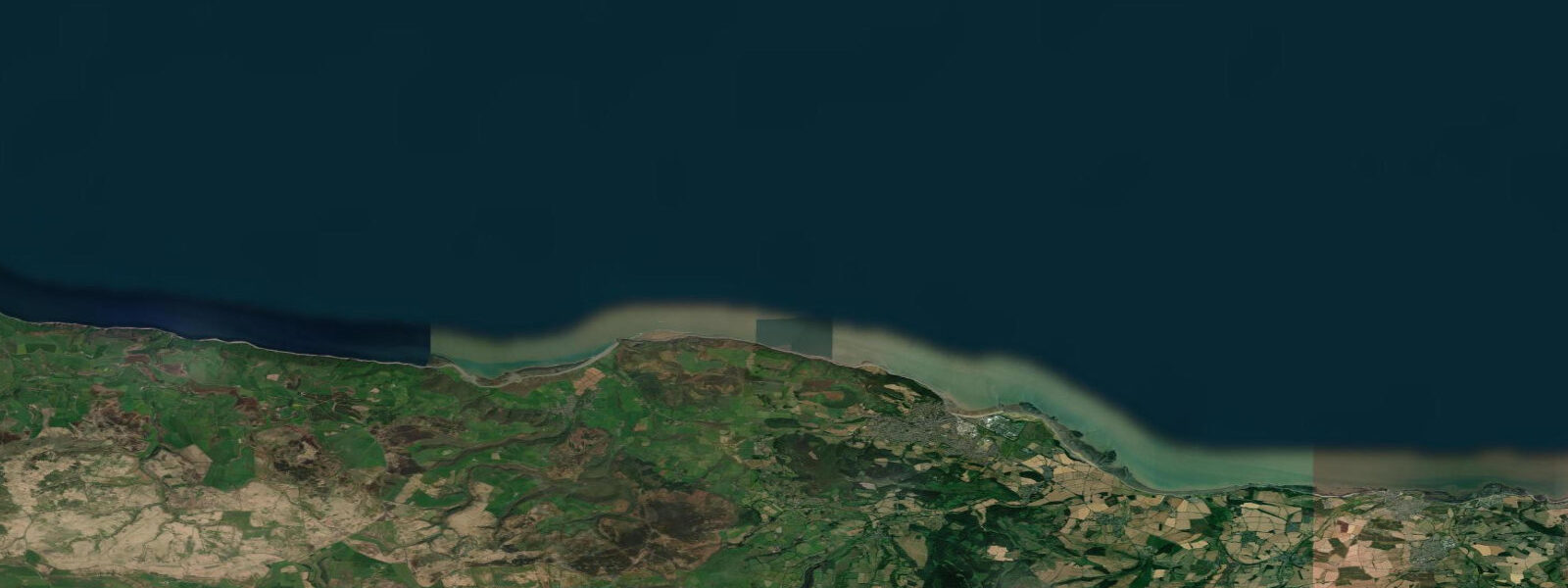
Minehead is where the Bristol Channel coast of Somerset meets Exmoor, and where the South West Coast Path begins its 630-mile journey to Poole in Dorset. The tidal range here is 10.5 m on springs. The town's harbour is the most immediately visible consequence: at low water it is empty — not in the sense of few boats, but in the sense of no water. The harbour dries completely to bare mud, and the fishing boats, pleasure craft, and the small commercial vessels that use it are either designed to sit on the bottom (twin keels, legs, or flat hulls) or they are hauled clear between tides.
The drying harbour is not a disadvantage to those who work with it. The fishing boats at Minehead leave on the last of the flood before high water, work the Bristol Channel grounds through the tide, and return to the harbour on the next flood. The timing is as predictable as a clock — the tide tables are the working schedule. The inshore grounds off the Somerset coast produce lobster, crab, and sea bass; the boats are small, practical, and designed entirely around the drying harbour constraint.
Exmoor National Park begins at the eastern edge of the town and rises immediately to moorland above the coast. The Minehead seafront faces north across the Bristol Channel to South Wales — on a clear day the Welsh coast is visible 25 km away across water. The beach is sand and shingle, widening considerably at low water; at spring low tide the sand extends 300–400 m from the promenade. The North Hill headland to the west of the town, accessible by footpath from the seafront, gives a panoramic view of the Channel and the Somerset and Devon coasts in both directions.
For shore anglers, the reef and sand ground to the west of the harbour is productive on the flood tide. Bass are present from May through October; conger eel inhabit the weed-covered rocks at the harbour entrance and on the reef to the west. The most productive fishing is on the early flood, when baitfish are pushed in over the reef as the tide rises. Night fishing for bass and conger in summer is a local tradition; the harbour wall provides safe ground-level access at all tidal states.
Walkers starting the South West Coast Path from Minehead face the full range of the Bristol Channel tidal environment immediately: the path runs west from the harbour along the cliffs to Selworthy Beacon and Bossington Beach, a shingle bank behind which Porlock Marsh sits largely cut off from the sea. Bossington Beach is one of the few stretches of the south Bristol Channel shore where the shingle and pebbles have created a natural sea defence; after major storms the shingle is overtopped and the marsh floods — a natural process that is now managed as a wetland habitat.
Butlin's holiday resort operates at the eastern end of Minehead, occupying a flat site behind the beach. The resort is self-contained but adds to Minehead's summer visitor population. The beach east of the resort — toward Dunster Beach and Blue Anchor — is quieter and more exposed, with a direct view of the tidal flats of the inner Channel.
The Minehead area is a strong base for wildlife watching beyond the shore. Exmoor National Park, starting immediately east of the town, supports one of England's largest wild red deer populations — herds of 50–100 animals are a common sight on the moorland above the Bristol Channel coast in autumn. The Holnicote Estate (National Trust), 5 km east of Minehead via the A39, provides walking access to moorland above 400 m with views across the Channel to South Wales on clear days. Porlock Weir, 8 km west, is a small shingle harbour with a fish smokehouse and direct access to the saltmarsh and reed beds of Porlock Marsh, where marsh harrier and bittern are recorded in most winters. All tide predictions for Minehead come from the Open-Meteo Marine gridded model. Timing accuracy is ±45 minutes; height accuracy is ±0.3 m above Chart Datum.
Tide questions about Minehead
Quick answers to the most common questions about tide times, range, and water access at Minehead.
Why does Minehead harbour dry out completely?
Minehead's spring tidal range is 10.5 m — among the highest in the world. The harbour sits at a level above the Chart Datum low water, so as the tide ebbs through 10 m it drains completely. The process takes approximately 3 hours from high water to dry bottom. Boats designed for drying harbours — twin-keeled yachts, flat-bottomed fishing vessels, or boats with removable legs — sit upright on the mud and float off as the tide returns. Fin-keeled yachts require legs or must plan stays around the tidal window: entering on the flood 3 hours before HW and leaving within 3 hours after HW.
Where does the South West Coast Path start at Minehead?
The official start of the 630-mile South West Coast Path is at the harbour at Minehead, marked by a stone sculpture and a fingerpost pointing west toward Poole. The first section runs west from the harbour along the seawall and then climbs to the North Hill ridge above Minehead, giving panoramic views of the Bristol Channel. The first major destination is Porlock (10 km west) via Bossington and the shingle bank at Porlock Weir. The path is waymarked throughout with the acorn symbol; the first day's walking is moderately strenuous due to the immediate climb onto Exmoor.
What fish are caught from the shore and harbour at Minehead?
Bass are the main summer target, present May through October on the flood tide over the reef and sand ground west of the harbour. Conger eel inhabit the rock and weed at the harbour entrance and are caught at night on large fish or squid bait. Mackerel shoal in the Channel in July and August and can be caught by spinning from the harbour wall on the top two hours of the flood. Flatfish — dab and plaice — work the sandy ground east of the harbour in summer. The most productive shore fishing is the first two hours of the flood when baitfish push in over the reef.
Is Minehead beach good for families?
Minehead beach is a broad stretch of sand and shingle that widens to 300–400 m at spring low water. The central beach in front of the esplanade is sand; the eastern beach toward Dunster Beach is more shingle-dominated. The resort beach has good facilities — cafes, a miniature railway, and reasonable parking. Water quality in the outer Bristol Channel at Minehead is consistently good. Butlin's holiday resort at the east end of the beach adds facilities and noise in season; the beach west of the harbour is quieter.
Can I walk from Minehead to Bossington Beach?
The walk from Minehead harbour to Bossington Beach via the South West Coast Path is approximately 10 km one way, with significant climbing onto North Hill and Selworthy Beacon. Allow 3–4 hours each way for a round trip. Bossington Beach itself is a dramatic shingle bank separating Porlock Marsh from the Bristol Channel; the shingle is periodically overtopped in major storms, flooding the marsh behind. Return via the inland path through Allerford and Selworthy village if the coastal climb is too demanding — the inland alternative is flatter and passes through the National Trust Holnicote Estate.
8-day tide table — Minehead
Heights relative to MSL. Predictions: Open-Meteo Marine (MeteoFrance SMOC, 0.08° grid) — heights relative to MSL (not chart datum / LAT). Model-derived.
| Day | Type | Time | Height |
|---|---|---|---|
| Sat 27 Jun | Low | 01:00 | -1.4m / -4.5ft |
| High | 04:51 | 3.0m / 9.8ft | |
| Low | 10:39 | -3.1m / -10.2ft | |
| High | 17:15 | 3.2m / 10.6ft | |
| Low | 23:14 | -3.3m / -10.8ft | |
| Sun 28 Jun | High | 05:41 | 3.2m / 10.5ft |
| Low | 11:36 | -3.4m / -11.1ft | |
| High | 18:01 | 3.5m / 11.4ft | |
| Mon 29 Jun | Low | 00:04 | -3.7m / -12.0ft |
| High | 06:21 | 3.3m / 10.9ft | |
| Low | 12:21 | -3.7m / -12.2ft | |
| High | 18:44 | 3.6m / 11.7ft | |
| Tue 30 Jun | Low | 00:48 | -3.9m / -12.7ft |
| High | 07:04 | 3.5m / 11.6ft | |
| Low | 13:06 | -3.9m / -12.6ft | |
| High | 19:21 | 3.7m / 12.2ft | |
| Wed 01 Jul | Low | 01:30 | -4.1m / -13.4ft |
| High | 07:42 | 3.5m / 11.6ft | |
| Low | 13:47 | -4.0m / -13.0ft | |
| High | 19:59 | 3.9m / 12.7ft | |
| Thu 02 Jul | Low | 02:11 | -4.1m / -13.4ft |
| High | 08:16 | 3.5m / 11.5ft | |
| Low | 14:27 | -4.1m / -13.4ft | |
| High | 20:34 | 3.7m / 12.1ft | |
| Fri 03 Jul | Low | 02:50 | -4.3m / -14.0ft |
| High | 08:51 | 3.4m / 11.1ft | |
| Low | 15:02 | -4.1m / -13.4ft | |
| High | 21:06 | 3.7m / 12.1ft | |
| Sat 04 Jul | Low | 00:00 | -0.1m / -0.4ft |