
Worthing tide times
Worthing tide forecast — heights relative to MSL.
Today's tide times for Worthing
Tide times at Worthing on Friday, 19 June 2026: first high tide at 02:27, first low tide at 08:41, second high tide at 14:57, second low tide at 21:12. Sunrise 04:47, sunset 21:17.
Tide chart for Worthing
24-hour cosine-interpolated curve around the present moment. Heights relative to MSL. Predictions: Predictions: Open-Meteo Marine (MeteoFrance SMOC, 0.08° grid).
Sun, moon and conditions on Fri 19 Jun
Snapshot at build time — refreshes daily. Sea state from Open-Meteo Marine.
Highs and lows next 7 days
Every predicted high and low for the next week, with the daily tidal coefficient (0–120; higher = bigger swing, > 95 means stronger currents).
Other spots nearby
The three closest curated TideTurtle locations to Worthing, measured by great-circle distance.
Today's solunar windows
Solunar tradition: major periods are the ≈3h windows around moon transit and opposition; minor are ≈2h around moonrise and moonset. Pair with the local tide stage and wind for the best read.
Cycle dates near Worthing
Last spring tide on Fri 19 Jun (range 5.0m / 16.3ft). Next neap on Wed 24 Jun.
Spring tides cluster around new and full moons (biggest swings). Neap tides land on quarter moons (smallest swings). See the spring tide and neap tide glossary entries for the why.
About tides at Worthing
A short guide to the coastline at Worthing — geography, sea state, and what the tide is actually doing under your feet.
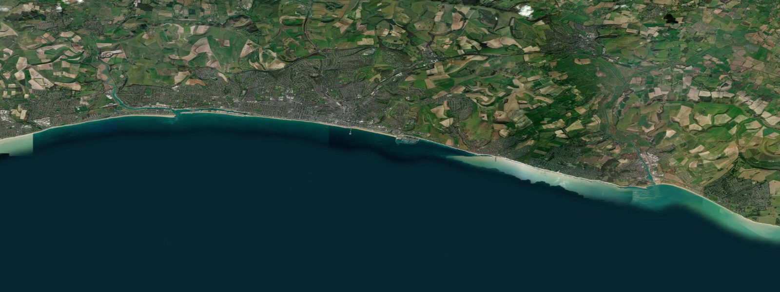
Worthing is on the West Sussex coast between Brighton (16 km east) and Littlehampton (12 km west), facing south into the English Channel. The pier, opened in 1862, extends 300 metres into the channel. The tidal range here is modest by English standards: mean spring range around 5.4 metres at Shoreham (the nearby gauge station), but Worthing sits in a phase of the tidal cycle where the range is slightly more complex — the English Channel has a dual-tide character, with the main tidal wave arriving from the Atlantic and a reflected component from the North Sea creating a distorted pattern.
The beach is shingle with patches of sand revealed at low water near the pier. The shingle steeply grades toward the waterline, which means wave backwash is fast and can catch people off-balance. The pier is the town's social centre; the pier head restaurant and amusement section run seasonally.
For water sports, the beach is primarily used for swimming and open-water swimming events. The West Sussex coastline has warm summer water (up to 19°C in August) that makes open-water swimming comfortable from June through September. The Worthing Seagulls sea swimming club trains year-round; cold-water swimmers persist through winter in 8 to 10°C conditions.
Kayaking and paddleboarding launch from the beach is straightforward except in onshore winds, which pile up small surf on the shingle and make launching and landing in kayaks harder than it looks. The flat waters to the east toward Shoreham Harbour are the standard paddling route in southwesterly conditions. Shoreham Harbour mouth has strong tidal current on the ebb — avoid paddling near it without planning the current timing.
Sea fishing from Worthing Pier is a local tradition. The pier head produces whiting and dab in autumn and winter; pouting and bass are taken in summer. The water deepens at the pier end to around 5 metres at low water — relatively shallow by sea pier standards, but enough for seasonal runs. Beach casting east of the pier toward Lancing Beach is done for school bass and flatfish on summer nights.
The alignment of the Sussex coast makes it one of the more sheltered stretches of the English coast in summer, with the South Downs behind Worthing providing some windbreak from north winds. The result is predictably calm sea conditions from June through August — not good for surf, but reliably pleasant for swimming and paddling. The same alignment makes the coast vulnerable to severe southwesterly storms in winter.
Tide predictions on this page come from Open-Meteo Marine, a gridded global ocean model, cross-referenced with UK Environment Agency gauge data. For the most accurate local predictions, consult the UK National Tide Gauge Network via CEFAS or the UKHO's EasyTide service.
Tide questions about Worthing
Quick answers to the most common questions about tide times, range, and water access at Worthing.
What are the tides like at Worthing?
The English Channel tide at Worthing has an unusual character — rather than a simple twice-daily cycle, the dual tidal wave from the Atlantic (westward) and the reflected component from the Straits of Dover creates a slightly distorted pattern. Mean spring range is approximately 5.4 metres (measured at Shoreham); some days show two nearly equal highs, others show a pronounced inequality. The UKHO EasyTide service gives the most accurate local predictions.
Is the water safe for swimming at Worthing?
Worthing beach has a long swimming history and generally good water quality. The Environment Agency monitors bathing water quality at designated sites; Worthing typically achieves 'Good' or 'Excellent' classification. Avoid swimming immediately after heavy rain — storm drains and the Teville Stream discharge affect water quality near the town for 48 to 72 hours after significant rainfall. The RNLI has seasonal presence; outside summer, the beach is unguarded.
Is Worthing Pier still open?
Worthing Pier was restored and reopened following storm damage repairs. The pier is open year-round with a restaurant and amusement facilities at the pier head; specific opening hours vary seasonally. Check the Worthing Borough Council website for current status and events. Fishing from the pier is permitted and requires no separate licence for sea fishing in England.
Where can I paddleboard near Worthing?
Launch from the main beach — there are no dedicated launch facilities, but the shingle beach can be launched from at any state of tide. Best conditions are in light winds and in calm summer weather. The route east toward Shoreham is the standard paddle, keeping distance from Shoreham Harbour mouth where tidal current can exceed 2 knots. The route west toward Littlehampton is also viable, passing the Worthing seafront and Goring-by-Sea. Give commercial and recreational boat traffic plenty of space.
What fish can I catch from the beach at Worthing?
Beach and pier fishing at Worthing targets school bass (July through October), whiting (September through January), dab and flounder (autumn through spring), and pouting year-round. Night fishing from the beach east of the pier produces the best bass results — incoming tide after dark is the optimal window. Mackerel shoals pass close to shore in summer and can be caught from the pier on feathers. No rod licence is required for sea fishing in England.
8-day tide table — Worthing
Heights relative to MSL. Predictions: Open-Meteo Marine (MeteoFrance SMOC, 0.08° grid) — heights relative to MSL (not chart datum / LAT). Model-derived.
| Day | Type | Time | Height |
|---|---|---|---|
| Fri 19 Jun | High | 02:27 | 2.1m / 7.0ft |
| Low | 08:41 | -2.8m / -9.2ft | |
| High | 14:57 | 2.2m / 7.1ft | |
| Low | 21:12 | -2.6m / -8.5ft | |
| Sat 20 Jun | High | 15:49 | 1.9m / 6.3ft |
| Low | 22:05 | -2.5m / -8.2ft | |
| Sun 21 Jun | High | 04:11 | 1.6m / 5.2ft |
| Low | 10:23 | -2.5m / -8.2ft | |
| High | 16:45 | 1.6m / 5.4ft | |
| Low | 22:54 | -2.2m / -7.3ft | |
| Mon 22 Jun | High | 05:05 | 1.5m / 4.8ft |
| Low | 11:16 | -2.4m / -7.8ft | |
| High | 17:46 | 1.6m / 5.2ft | |
| Low | 23:55 | -2.0m / -6.6ft | |
| Tue 23 Jun | High | 06:05 | 1.2m / 3.9ft |
| Low | 12:09 | -2.1m / -7.0ft | |
| High | 18:42 | 1.4m / 4.6ft | |
| Wed 24 Jun | Low | 00:50 | -2.0m / -6.6ft |
| High | 07:13 | 1.2m / 3.8ft | |
| Low | 13:10 | -1.9m / -6.3ft | |
| High | 19:44 | 1.3m / 4.4ft | |
| Thu 25 Jun | Low | 01:50 | -1.9m / -6.3ft |
| High | 08:14 | 1.1m / 3.7ft | |
| Low | 14:08 | -1.9m / -6.1ft | |
| High | 20:43 | 1.4m / 4.6ft | |
| Fri 26 Jun | Low | 00:00 | -0.6m / -1.9ft |