Eastbourne tide times
Eastbourne tide forecast — heights relative to MSL.
Today's tide times for Eastbourne
Tide times at Eastbourne on Friday, 19 June 2026: first high tide at 02:12, first low tide at 09:03, second high tide at 14:39, second low tide at 21:31. Sunrise 04:45, sunset 21:14.
Tide chart for Eastbourne
24-hour cosine-interpolated curve around the present moment. Heights relative to MSL. Predictions: Predictions: Open-Meteo Marine (MeteoFrance SMOC, 0.08° grid).
Sun, moon and conditions on Fri 19 Jun
Snapshot at build time — refreshes daily. Sea state from Open-Meteo Marine.
Highs and lows next 7 days
Every predicted high and low for the next week, with the daily tidal coefficient (0–120; higher = bigger swing, > 95 means stronger currents).
Other spots nearby
The three closest curated TideTurtle locations to Eastbourne, measured by great-circle distance.

Today's solunar windows
Solunar tradition: major periods are the ≈3h windows around moon transit and opposition; minor are ≈2h around moonrise and moonset. Pair with the local tide stage and wind for the best read.
Cycle dates near Eastbourne
Last spring tide on Fri 19 Jun (range 6.0m / 19.7ft). Next neap on Wed 24 Jun.
Spring tides cluster around new and full moons (biggest swings). Neap tides land on quarter moons (smallest swings). See the spring tide and neap tide glossary entries for the why.
About tides at Eastbourne
A short guide to the coastline at Eastbourne — geography, sea state, and what the tide is actually doing under your feet.
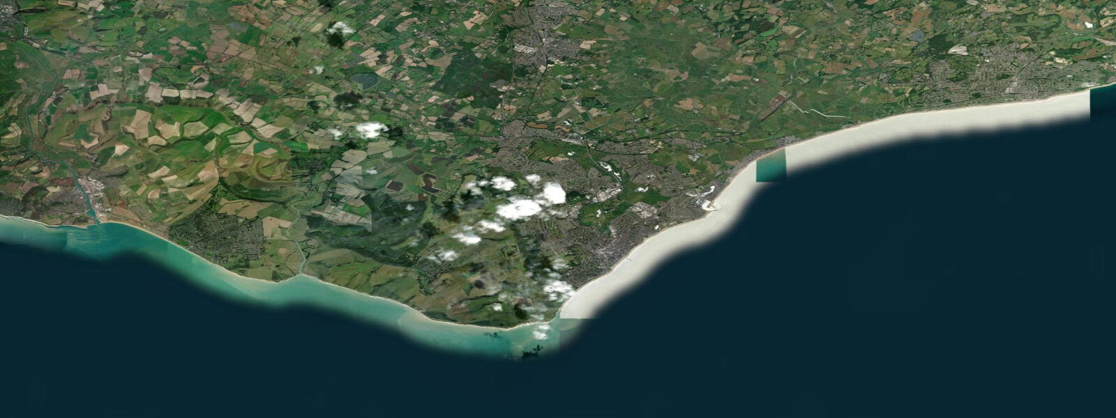
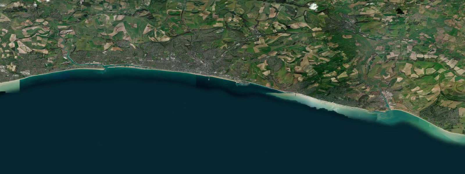
Eastbourne sits at the western edge of the Romney Marsh coastal plain, immediately west of Beachy Head — the highest chalk sea cliff in Britain at 162 metres. The town faces south with a 4-kilometre promenade and pier. Tidal range is significant: mean spring range around 6.0 metres at Eastbourne, placing it among the higher ranges on the Sussex coast, with some hours of tidal cycle showing the characteristic distorted English Channel pattern.
Beachy Head is the unmissable natural feature — the white chalk stack Belle Tout and the Beachy Head lighthouse (the red-and-white striped column at the cliff base, not the lighthouse on the cliff top, which was decommissioned) frame one of the most photographed coastal views in England. At low water on spring tides, it's possible to walk along the beach beneath the cliff from Eastbourne toward the lighthouse — about 3 kilometres each way, accessible only during a 90-minute window centred on low water. The chalk boulders and fallen cliff face create unstable walking, and cliff falls are a genuine ongoing risk. This walk should only be done on settled weather with no recent heavy rain.
The main Eastbourne beach is shingle, becoming sandy toward the pier end at low water. The beach is most active in summer — the town has a classic English seaside promenade with hotels, ice cream parlours, and the Eastbourne Bandstand. The pier (built 1870, damaged by fire in 2014 but restored) extends 305 metres into the channel.
Windsurfers and kitesurfers use the Sovereign Harbour beach east of the town centre. The harbour is a large marina complex with calmer conditions than the open beach, and launches from the harbour beach avoid the shingle on the main promenade. The easterly aspect works better than the west-facing beaches for southeast to south sea breezes in summer.
Anglers fish Eastbourne pier and the beaches for the standard Sussex species — bass, whiting, flatfish — with the chalk reefs east toward Bexhill yielding wrasse and pouting from the rocks. The chalk reef systems off Beachy Head hold large black bream in summer (June through August); charter boats run from Sovereign Harbour to work these reefs.
Tide predictions on this page come from Open-Meteo Marine, a gridded global ocean model, cross-referenced with UK Environment Agency gauge data. For the most accurate local predictions, consult the UK National Tide Gauge Network via CEFAS or the UKHO's EasyTide service.
Tide questions about Eastbourne
Quick answers to the most common questions about tide times, range, and water access at Eastbourne.
Can I walk under Beachy Head at low tide?
In settled weather, yes — a 90-minute window around low water on spring tides allows a beach walk from east Eastbourne to Beachy Head lighthouse, roughly 3 km each way over chalk boulders and shingle. This walk has genuine risks: chalk falls are ongoing, the route involves unstable boulder-hopping, and the return window is short. Do not attempt after heavy rain (chalk is weakened) or with young children. The rising tide returns faster than you expect — plan to turn back at least 40 minutes before predicted low water ends.
What is the tidal range at Eastbourne?
Mean spring range at Eastbourne is approximately 6.0 metres — one of the larger ranges on the Sussex coast. The English Channel tidal pattern at this location shows occasional 'stand' periods where the tide barely moves for 2 to 3 hours near high water, particularly on neap tides. The UKHO EasyTide service provides reliable local predictions; Eastbourne station shows this complex pattern clearly.
Is there good diving near Eastbourne?
The chalk reef systems south of Beachy Head are the main dive attraction — black bream, wrasse, lobster, and occasional bass in clear water over reef at 15 to 25 metres. Charter boats from Sovereign Harbour run to these sites in summer. Visibility is typically 6 to 12 metres, improving in settled high-pressure periods. Tidal current on the reefs can be significant — plan dives around slack water. Water temperature ranges from 8°C in February to 18°C in August.
Is Eastbourne pier open?
Eastbourne Pier was damaged by fire in July 2014, destroying the pier head. The main pier structure and lower deck were repaired and reopened in 2018. As of current knowledge, the pier is open with amusements and facilities on the restored sections. Check eastbournepier.com for current opening hours and status. Fishing from the pier is popular; the end-of-pier section offers deeper water access and is productive for whiting and bass in autumn.
Where can I windsurf near Eastbourne?
Sovereign Harbour beach, east of the town centre, is the most practical launch for windsurfers and kitesurfers at Eastbourne. The marina entrance provides some shelter, and the shingle beach is more manageable than the main promenade. The south to southeast aspect works for summer sea breezes, which typically fill in from the south in afternoon. Open sea conditions prevail outside the harbour entrance — more exposed than the main beach. A 4/3mm wetsuit is comfortable from May through October.
8-day tide table — Eastbourne
Heights relative to MSL. Predictions: Open-Meteo Marine (MeteoFrance SMOC, 0.08° grid) — heights relative to MSL (not chart datum / LAT). Model-derived.
| Day | Type | Time | Height |
|---|---|---|---|
| Fri 19 Jun | High | 02:12 | 2.7m / 8.8ft |
| Low | 09:03 | -3.3m / -10.9ft | |
| High | 14:39 | 2.7m / 8.7ft | |
| Low | 21:31 | -3.2m / -10.6ft | |
| Sat 20 Jun | High | 03:04 | 2.3m / 7.6ft |
| Low | 09:48 | -3.2m / -10.5ft | |
| High | 15:32 | 2.4m / 7.8ft | |
| Low | 22:16 | -3.1m / -10.1ft | |
| Sun 21 Jun | High | 04:01 | 2.0m / 6.7ft |
| Low | 10:35 | -3.0m / -9.7ft | |
| Mon 22 Jun | High | 04:57 | 1.9m / 6.1ft |
| Low | 11:20 | -2.8m / -9.1ft | |
| High | 17:34 | 2.0m / 6.5ft | |
| Low | 23:56 | -2.4m / -8.0ft | |
| Tue 23 Jun | High | 06:00 | 1.6m / 5.3ft |
| Low | 12:11 | -2.4m / -8.0ft | |
| High | 18:34 | 1.8m / 6.0ft | |
| Wed 24 Jun | Low | 00:51 | -2.3m / -7.6ft |
| High | 07:06 | 1.6m / 5.3ft | |
| Low | 13:14 | -2.2m / -7.1ft | |
| High | 19:34 | 1.8m / 5.8ft | |
| Thu 25 Jun | Low | 01:56 | -2.2m / -7.2ft |
| High | 08:04 | 1.6m / 5.2ft | |
| Low | 14:20 | -2.1m / -6.8ft | |
| High | 20:32 | 1.9m / 6.1ft | |
| Fri 26 Jun | Low | 00:00 | -0.7m / -2.4ft |