Southsea tide times
Southsea tide forecast — heights relative to MSL.
Today's tide times for Southsea
Tide times at Southsea on Friday, 19 June 2026: first low tide at 01:00, first high tide at 02:57, second low tide at 08:14, second high tide at 15:31, third low tide at 20:54. Sunrise 04:50, sunset 21:20.
Tide chart for Southsea
24-hour cosine-interpolated curve around the present moment. Heights relative to MSL. Predictions: Predictions: Open-Meteo Marine (MeteoFrance SMOC, 0.08° grid).
Sun, moon and conditions on Fri 19 Jun
Snapshot at build time — refreshes daily. Sea state from Open-Meteo Marine.
Highs and lows next 7 days
Every predicted high and low for the next week, with the daily tidal coefficient (0–120; higher = bigger swing, > 95 means stronger currents).
Other spots nearby
The three closest curated TideTurtle locations to Southsea, measured by great-circle distance.
Today's solunar windows
Solunar tradition: major periods are the ≈3h windows around moon transit and opposition; minor are ≈2h around moonrise and moonset. Pair with the local tide stage and wind for the best read.
Cycle dates near Southsea
Last spring tide on Fri 19 Jun (range 3.7m / 12.2ft). Next neap on Thu 25 Jun.
Spring tides cluster around new and full moons (biggest swings). Neap tides land on quarter moons (smallest swings). See the spring tide and neap tide glossary entries for the why.
About tides at Southsea
A short guide to the coastline at Southsea — geography, sea state, and what the tide is actually doing under your feet.
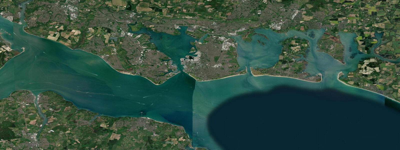
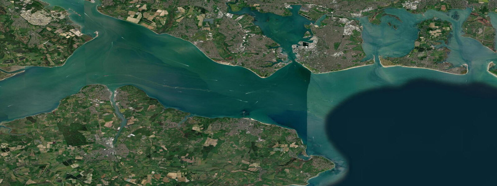
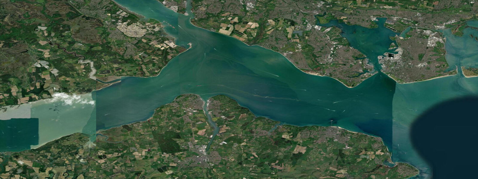
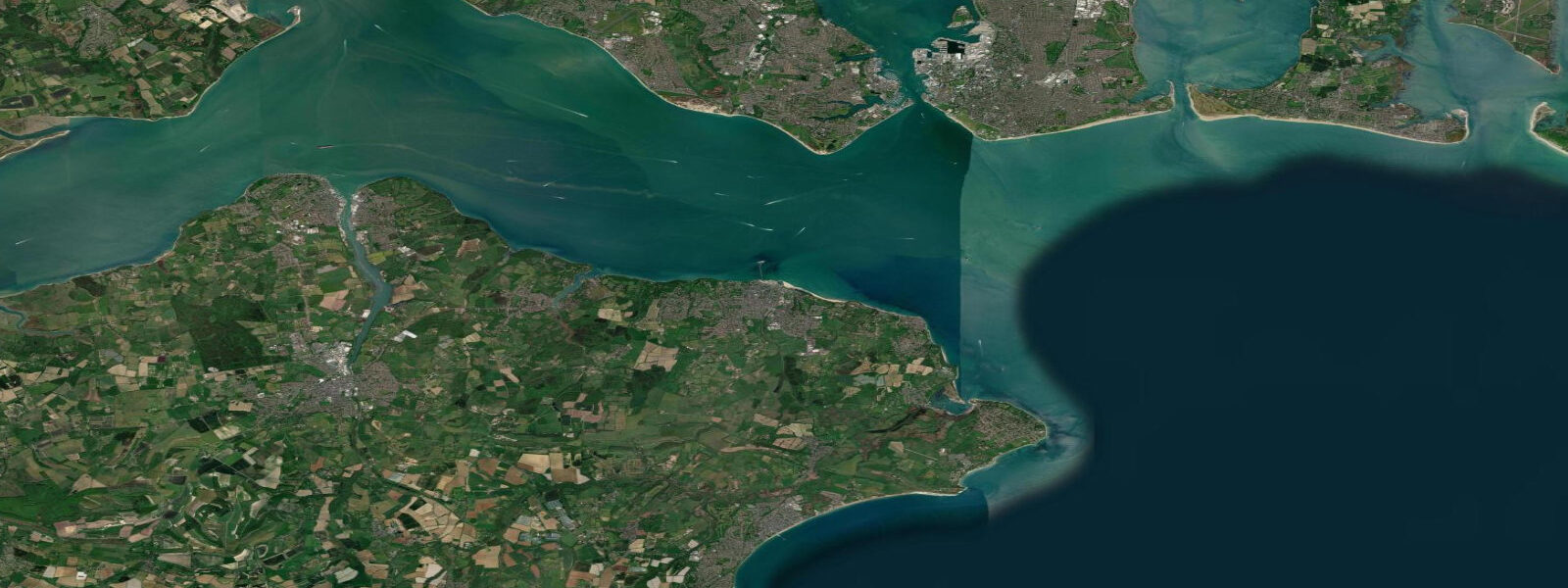
Southsea is the seafront district of Portsmouth, occupying the southern tip of Portsea Island where the Solent meets Spithead — the stretch of water between mainland Portsmouth and the Isle of Wight. The view south from Southsea Common encompasses the eastern Solent, the Forts of Spithead (the Victorian sea forts sitting on artificial islands in the middle of the channel), and the rolling hills of the Isle of Wight beyond. The double-high-water of the Solent is less pronounced here than at Lymington; mean spring range at Southsea is around 4.0 metres.
The beach is shingle with some sand at low water east of the pier. The common — a broad area of flat grass between the town and the sea — keeps a clear view of the Solent maritime traffic. Portsmouth is one of the world's busiest naval harbours; carriers, destroyers, and submarines transit the channel past Southsea on their way to and from Pompey base. The view from the shingle is occasionally spectacular.
Kitesurfing and windsurfing are strong at Southsea. The Solent produces consistent sea breeze conditions in summer, and the Southsea seafront is one of the more accessible kite beaches on the south coast for beginners — the flattest water and most consistent wind are found in the stretch east of the pier toward Eastney. The kiteboarding community is well-established; several schools operate from the beach.
Open-water swimming has grown significantly at Southsea. The seafront has clean water (Environment Agency 'Excellent' or 'Good' most years at the designated bathing zone east of the pier) and a sheltered aspect in southwest winds. The Spithead Forts — Spit Bank, No Man's Land, Horse Sand, St Helens — are visible from the beach and accessible by boat in summer when ferry day-trips run from Gunwharf Quays.
The D-Day Museum at Southsea Castle is one of the best interpretations of the June 1944 operation anywhere; Portsmouth was the primary embarkation point for the Normandy landings. The museum holds the Overlord Embroidery — a 83-metre artwork narrating the D-Day story.
Angling from Southsea pier and the beach targets bass, flatfish, and mackerel in season. The eastern beach at Eastney produces sole on summer nights. The Forts of Spithead are accessible by boat and the reef structure around their bases holds wrasse and pouting year-round.
Tide predictions on this page come from Open-Meteo Marine, a gridded global ocean model, cross-referenced with UK Environment Agency gauge data. For the most accurate local predictions, consult the UK National Tide Gauge Network via CEFAS or the UKHO's EasyTide service.
Tide questions about Southsea
Quick answers to the most common questions about tide times, range, and water access at Southsea.
What is the tidal range at Southsea?
Southsea is in the eastern Solent, where the double-high-water effect is less pronounced than at the western end near Lymington. Mean spring range is approximately 4.0 metres; neap range around 2.5 m. The prolonged high-water period typical of the Solent is still present but less exaggerated than at Lymington or Southampton. The UKHO EasyTide service provides the most accurate local predictions for Portsmouth.
Is kitesurfing or windsurfing good at Southsea?
Yes — the Eastney section of Southsea beach is the main kite and windsurf zone. Summer sea breezes are consistent from the southwest, typically building from 11 a.m. and peaking mid-afternoon. Wind strength is usually 12 to 22 knots in settled summer weather. The Solent's sheltered water means smaller chop than exposed Atlantic coasts, making it a good intermediate venue. Several kite schools operate from Eastney Beach; lessons and equipment hire are available.
Can I swim in the sea at Southsea?
Southsea seafront is a designated bathing water site. The Environment Agency typically rates it 'Excellent' or 'Good'. Avoid swimming after heavy rain when storm drainage can affect water quality. The beach is shingle with some sand; there are no significant rip currents but the Solent's tidal current runs east to west (and reverses) across the front of the beach — be aware of the drift when swimming, particularly at tide-change periods.
What is HMS Victory and can I visit it?
HMS Victory, Nelson's flagship at the Battle of Trafalgar (1805), is preserved at Portsmouth Historic Dockyard within walking distance of the Southsea seafront. It's the world's oldest commissioned warship still in active service (as a museum ship). Also at the Historic Dockyard: the Tudor warship Mary Rose, HMS Warrior (the first iron-hulled warship), and extensive Royal Navy museum galleries. Combined tickets cover multiple attractions. Entry is by timed slot in busy periods — book ahead.
What are the Spithead Forts?
The Spithead Forts are four Victorian sea forts built in the 1860s on artificial islands in the eastern Solent, intended to defend Portsmouth Harbour against a French naval attack that never came. Three are now privately operated — Spit Bank Fort and No Man's Land Fort offer overnight stays, bar access, and day-trip boat services from Gunwharf Quays in summer. Horse Sand Fort has periodic open days. The views from the forts back to Portsmouth and across to the Isle of Wight are worth the trip.
8-day tide table — Southsea
Heights relative to MSL. Predictions: Open-Meteo Marine (MeteoFrance SMOC, 0.08° grid) — heights relative to MSL (not chart datum / LAT). Model-derived.
| Day | Type | Time | Height |
|---|---|---|---|
| Fri 19 Jun | Low | 01:00 | 0.7m / 2.2ft |
| High | 02:57 | 1.5m / 4.8ft | |
| Low | 08:14 | -2.1m / -7.0ft | |
| High | 15:31 | 1.6m / 5.1ft | |
| Low | 20:54 | -1.8m / -6.0ft | |
| Sat 20 Jun | High | 03:47 | 1.2m / 4.0ft |
| Low | 09:11 | -2.1m / -6.8ft | |
| High | 16:22 | 1.4m / 4.5ft | |
| Low | 22:00 | -1.8m / -5.9ft | |
| Sun 21 Jun | High | 04:43 | 1.0m / 3.4ft |
| Low | 10:12 | -1.9m / -6.3ft | |
| High | 17:18 | 1.1m / 3.7ft | |
| Low | 22:54 | -1.6m / -5.2ft | |
| Mon 22 Jun | High | 05:38 | 1.0m / 3.2ft |
| Low | 11:18 | -1.8m / -6.0ft | |
| High | 18:22 | 1.1m / 3.6ft | |
| Tue 23 Jun | Low | 00:08 | -1.5m / -4.9ft |
| High | 06:40 | 0.7m / 2.2ft | |
| Low | 12:13 | -1.7m / -5.6ft | |
| High | 19:16 | 0.9m / 2.9ft | |
| Wed 24 Jun | Low | 01:01 | -1.6m / -5.2ft |
| High | 07:49 | 0.7m / 2.4ft | |
| Low | 13:17 | -1.5m / -5.0ft | |
| High | 20:18 | 0.9m / 2.9ft | |
| Thu 25 Jun | Low | 01:58 | -1.5m / -5.0ft |
| High | 08:50 | 0.7m / 2.4ft | |
| Low | 14:11 | -1.5m / -4.8ft | |
| High | 21:16 | 0.9m / 3.0ft | |
| Fri 26 Jun | Low | 00:00 | -0.5m / -1.5ft |