Brighton, Sussex tide times
Brighton, Sussex tide forecast — heights relative to MSL.
Today's tide times for Brighton, Sussex
Tide times at Brighton, Sussex on Sunday, 26 July 2026: first high tide at 01:00, first low tide at 02:57, second high tide at 09:22, second low tide at 15:38, third high tide at 21:54. Sunrise 05:16, sunset 20:56.
Tide chart for Brighton, Sussex
24-hour cosine-interpolated curve around the present moment. Heights relative to MSL. Predictions: Predictions: Open-Meteo Marine (MeteoFrance SMOC, 0.08° grid).
Sun, moon and conditions on Sun 26 Jul
Snapshot at build time — refreshes daily. Sea state from Open-Meteo Marine.
Highs and lows next 7 days
Every predicted high and low for the next week, with the daily tidal coefficient (0–120; higher = bigger swing, > 95 means stronger currents).
Other spots nearby
The three closest curated TideTurtle locations to Brighton, Sussex, measured by great-circle distance.

Today's solunar windows
Solunar tradition: major periods are the ≈3h windows around moon transit and opposition; minor are ≈2h around moonrise and moonset. Pair with the local tide stage and wind for the best read.
Cycle dates near Brighton, Sussex
Next spring tide on Sat 01 Aug (range 5.2m / 17.0ft). Last neap on Sun 26 Jul.
Spring tides cluster around new and full moons (biggest swings). Neap tides land on quarter moons (smallest swings). See the spring tide and neap tide glossary entries for the why.
About tides at Brighton, Sussex
A short guide to the coastline at Brighton, Sussex — geography, sea state, and what the tide is actually doing under your feet.
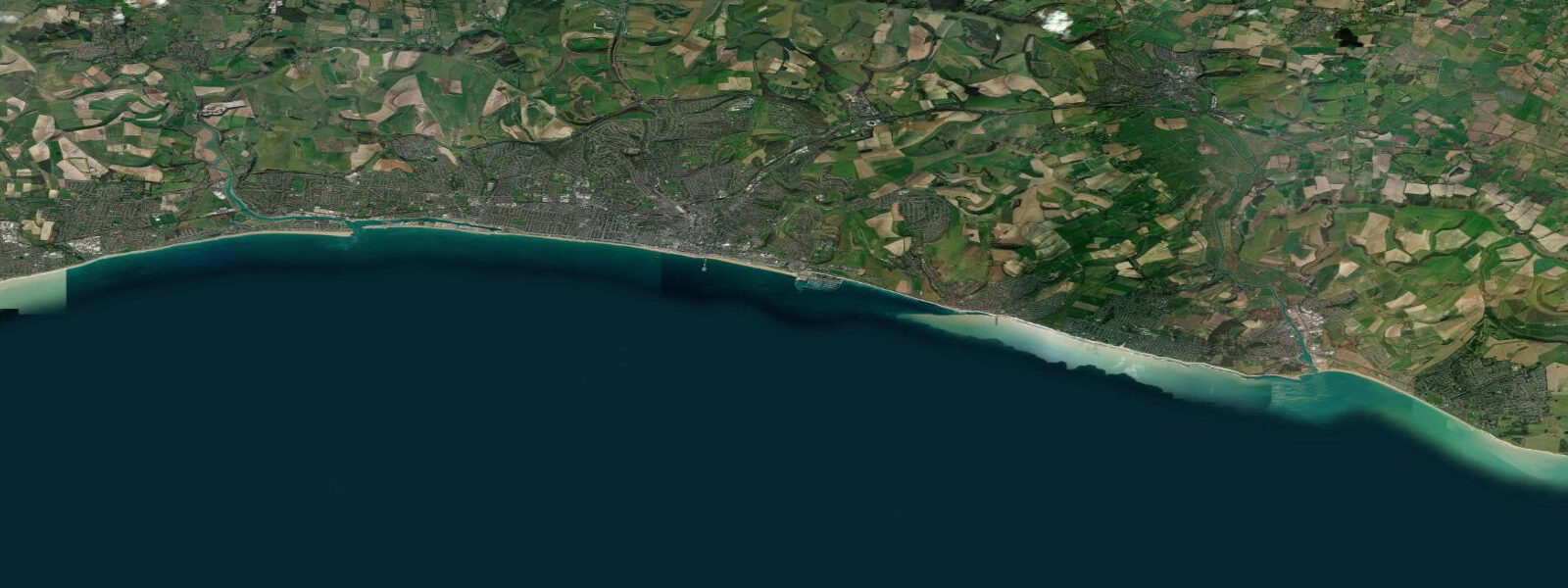
Brighton sits on the central English Channel coast, the long shingle beach running from Hove east toward Saltdean under the chalk cliffs at Black Rock and Rottingdean. The tide here is moderate by Channel standards but sharper-edged than the open-coast resorts further west. 6 on neaps, with the typical mean range close to 4 metres.
The pattern is semidiurnal, two highs and two lows of comparable size, twelve and a half hours apart. The shingle bank steepens fast under the swing — a metre of vertical change covers ten or fifteen metres of beach width, less than the gentle sands further along the Sussex coast at West Wittering or Camber. For pier walkers, paddle-board crews launching off Hove Lagoon, and the cold-water swimming groups that use the exposed concrete steps below the seafront, the timing matters more than the absolute height.
The Palace Pier sits well clear of all but the highest spring tides; the older West Pier ruin further down stands in deeper water and is fully submerged most of the time. Predictions on this page come from Open-Meteo's gridded marine model — general-planning data, not navigation-grade. UK Hydrographic Office Admiralty TotalTide is the authoritative British tide product.
Tide questions about Brighton, Sussex
Quick answers to the most common questions about tide times, range, and water access at Brighton, Sussex.
When is the next high tide at Brighton?
The hero block shows the next high tide at Brighton Marina in local UK time. The 7-day table covers all four daily extremes. The Sussex Channel coast runs straight semidiurnal — no diurnal asymmetry between the two daily cycles to watch for.
What's the typical tide range at Brighton?
Mean range at Brighton is around 4 metres, with spring tides pushing past 5 metres and neaps dropping near 2.6 metres. The Sussex coast runs a moderately large Channel tide — bigger than the Solent or Thames Estuary funnel coast but smaller than the Bristol Channel approaches in the south-west.
When is best for shore swimming at Brighton seafront?
Cold-water swimming groups along the central seafront mostly time their sessions around the higher half of the cycle — the shingle steepens steeply at the waterline and the higher water lifts you over the larger pebbles before the deep water. The Hove Lagoon paddle and SUP crews work the calmer inland water that doesn't depend on the open-coast tide.
Where do these tide predictions come from?
Open-Meteo's marine model, gridded at roughly 0.08° resolution, produces the predictions on this page. UK Hydrographic Office Admiralty TotalTide is the authoritative product for British tide tables, calibrated on the Brighton Marina harmonic record.
Is this safe to use for navigation?
No. For piloting in or out of Brighton Marina, the largest man-made marina on the south coast, use UKHO's authoritative tide tables, the marina's own published guidance, and the latest Notices to Mariners. The marina entrance has a sill and cross-tide currents that need real navigational sources.
8-day tide table — Brighton, Sussex
Heights relative to MSL. Predictions: Open-Meteo Marine (MeteoFrance SMOC, 0.08° grid) — heights relative to MSL (not chart datum / LAT). Model-derived.
| Day | Type | Time | Height |
|---|---|---|---|
| Sun 26 Jul | High | 01:00 | -1.0m / -3.1ft |
| Low | 02:57 | -1.5m / -5.0ft | |
| High | 09:22 | 1.4m / 4.6ft | |
| Low | 15:38 | -1.8m / -5.8ft | |
| High | 21:54 | 1.4m / 4.6ft | |
| Mon 27 Jul | Low | 04:05 | -1.8m / -6.0ft |
| High | 10:14 | 1.5m / 4.9ft | |
| Low | 16:28 | -2.0m / -6.6ft | |
| High | 22:38 | 1.5m / 5.0ft | |
| Tue 28 Jul | Low | 04:52 | -2.2m / -7.3ft |
| High | 11:01 | 1.6m / 5.2ft | |
| Low | 17:10 | -2.2m / -7.1ft | |
| High | 23:15 | 1.7m / 5.7ft | |
| Wed 29 Jul | Low | 05:32 | -2.5m / -8.2ft |
| High | 11:42 | 1.9m / 6.3ft | |
| Low | 17:53 | -2.3m / -7.5ft | |
| High | 23:51 | 1.9m / 6.2ft | |
| Thu 30 Jul | Low | 06:06 | -2.7m / -8.9ft |
| High | 12:15 | 2.1m / 6.9ft | |
| Low | 18:26 | -2.5m / -8.2ft | |
| Fri 31 Jul | High | 00:25 | 2.0m / 6.6ft |
| Low | 06:41 | -2.8m / -9.2ft | |
| High | 12:45 | 2.2m / 7.1ft | |
| Low | 18:59 | -2.6m / -8.6ft | |
| Sat 01 Aug | High | 00:55 | 2.1m / 6.7ft |
| Low | 07:13 | -3.0m / -9.7ft | |
| High | 13:18 | 2.2m / 7.3ft | |
| Low | 19:34 | -2.7m / -8.8ft | |
| Sun 02 Aug | High | 00:00 | 1.3m / 4.3ft |