Watchet tide times
Watchet tide forecast — heights relative to MSL.
Today's tide times for Watchet
Tide times at Watchet on Saturday, 27 June 2026: first low tide at 01:00, first high tide at 04:57, second low tide at 10:46, second high tide at 17:21, third low tide at 23:19. Sunrise 04:59, sunset 21:32.
Tide chart for Watchet
24-hour cosine-interpolated curve around the present moment. Heights relative to MSL. Predictions: Predictions: Open-Meteo Marine (MeteoFrance SMOC, 0.08° grid).
Sun, moon and conditions on Sat 27 Jun
Snapshot at build time — refreshes daily. Sea state from Open-Meteo Marine.
Highs and lows next 7 days
Every predicted high and low for the next week, with the daily tidal coefficient (0–120; higher = bigger swing, > 95 means stronger currents).
Other spots nearby
The three closest curated TideTurtle locations to Watchet, measured by great-circle distance.

Today's solunar windows
Solunar tradition: major periods are the ≈3h windows around moon transit and opposition; minor are ≈2h around moonrise and moonset. Pair with the local tide stage and wind for the best read.
Cycle dates near Watchet
Next spring tide on Fri 03 Jul (range 8.3m / 27.1ft). Last neap on Sat 27 Jun.
Spring tides cluster around new and full moons (biggest swings). Neap tides land on quarter moons (smallest swings). See the spring tide and neap tide glossary entries for the why.
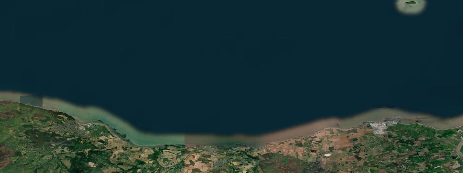
About tides at Watchet
A short guide to the coastline at Watchet — geography, sea state, and what the tide is actually doing under your feet.
Watchet is the most dramatic demonstration of Bristol Channel tides in Somerset. Spring range here is approximately 11.0 m — the difference between a functioning harbour at high water and a completely dry stone-floored basin at low. The harbour dries completely on every spring low tide, and the boats moored inside must either sit upright on the gravel bottom if they are twin-keeled, or be fitted with legs, or be removed before the tide falls. The West Marina opened in 2001 and provides floating pontoons that remain in water at all states, but the outer harbour and Old Market area are genuine drying berths.
The 11 m spring range means the tidal window for entering and leaving Watchet Harbour is relatively short. Boats drawing more than 1.5 m should arrive 2 hours before high water and depart no later than 1 hour after. The harbour entrance has a sill; the depth over the sill at mean low water springs is effectively zero. Check the harbour master's current depth data before approach.
At low water, the harbour basin reveals its full character: reddish-brown Triassic mudstone walls, moored boats tilted gently on their bilge keels, and the entire floor of the outer basin exposed as damp gravel and grey mud. The mudstone cliffs along the coast east and west of the harbour are among the best fossil hunting grounds in Somerset — ammonites and bivalves preserved in the red marlstone are exposed on the foreshore after each tidal cycle scours the cliff base. Two hours either side of low water is the optimal window; bring a geological hammer and check that the cliff above is stable before working close to it.
Samuel Taylor Coleridge is said to have conceived The Rime of the Ancient Mariner partly after visiting Watchet harbour in 1797, and a statue of the Mariner stands at the harbour entrance. The connection is not apocryphal — Coleridge walked from Nether Stowey to Watchet during his Somerset period and was clearly influenced by the small port's atmosphere. The harbour at low water, with the boats beached and the mudstone walls rising above the empty basin, retains something of that character.
Fossil hunting on the foreshore east of the harbour is most productive after spring storms, when the sea strips fresh material from the cliff base. Walk east from the harbour along the coast path to the base of the red mudstone cliffs during the 2 hours around low water. The most common finds are ammonites up to 15 cm in diameter in the Westbury Formation, and occasional ichthyosaur rib fragments in the dark shales. Do not excavate the cliff face — collect only material on the foreshore beach. Never stand under an undercut mudstone cliff.
Angling at Watchet is best from the harbour pier and the stone breakwater on the flood tide. Bass move into the harbour entrance on the first of the flood, following bait fish through the entrance narrows. Conger eel are present in the deeper water at the harbour entrance at night on spring tides. The large tidal range means fishing from the pier requires significant lead — 6 to 8 oz — to hold bottom on the spring flood, when the current through the entrance runs to 2 knots.
Families visiting Watchet for the harbour walk and the fossil beach need to plan the tidal window explicitly. The 1 hour 45 minute walk on the flats accessible at springs is documented in local walking guides; it takes you along the coast east of the harbour on the exposed Triassic platform. Stay on the foreshore, above the soft mud of the intertidal zone, and begin the return walk 90 minutes after low water. The market town itself is accessible at all states — the harbour and fossil beach are the tidal experiences.
Tidal predictions here use the Open-Meteo Marine gridded model (±45 minutes on timing, ±0.3 m on height). Not for navigation.
Tide questions about Watchet
Quick answers to the most common questions about tide times, range, and water access at Watchet.
What is the tidal range at Watchet harbour?
Spring tidal range at Watchet is approximately 11.0 m, one of the largest tidal ranges in the United Kingdom. The harbour dries completely at low water springs — the entire basin, including the outer harbour, becomes dry stone and gravel. Neap tidal range is around 5.5 m; even at neaps the harbour partially dries. Mean high water springs gives roughly 9.5 m of water at the harbour entrance sill. Boats drawing more than 1.5 m should enter within 2 hours of high water and plan to depart within 1 hour of high water.
Can you find fossils at Watchet?
The Triassic mudstone and shale foreshore east of Watchet harbour is one of Somerset's best fossil locations. Ammonites up to 15 cm in diameter occur in the Westbury Formation mudstones; bivalves are common in the marlstone beds; ichthyosaur fragments have been found in the dark shales. The best window is 2 hours either side of low water on a spring tide, particularly after storms that have stripped fresh material from the cliff base. Collect only loose foreshore material — do not hammer the cliff face. Never stand under undercut mudstone cliff sections.
What connection does Watchet have to The Rime of the Ancient Mariner?
Samuel Taylor Coleridge visited Watchet harbour in November 1797 during his years at Nether Stowey, Somerset. Local tradition holds that the harbour atmosphere — small ships, drying berths, weathered fishermen — contributed to the setting of The Rime of the Ancient Mariner, which he wrote shortly afterwards. A bronze statue of the Ancient Mariner stands at the harbour entrance. The connection is documented in Coleridge's own notebooks and letters from the period. The harbour at low water, with its emptied basin and red mudstone walls, retains a distinctly 18th-century character.
When is the best tide window to visit Watchet harbour and fossil beach?
Plan your visit around low water on a spring tide. The harbour basin empties completely in the 2 to 3 hours before low water, giving the full drying-harbour experience. The Triassic fossil beach east of the harbour is accessible in the 2 hours either side of low water — this gives you roughly 4 hours of combined harbour and foreshore access. The 1 hour 45 minute coastal walk on the exposed flats should be started no later than 30 minutes after low water to ensure a safe return before the flood builds pace. Check the morning tide tables before leaving home.
Is Watchet harbour safe for small boats visiting on the tide?
Watchet is accessible for small visiting craft but requires strict tidal planning. The harbour entrance has a sill that dries at low water; the effective access window for a boat drawing 1.5 m is approximately 3 hours, centred on high water. Arrive no later than 2 hours before high water; plan departure within 1 hour of high water. The harbour master monitors depths and publishes tidal information — contact ahead of arrival. The West Marina offers floating pontoon berths accessible for slightly longer, but the entrance sill constraint applies regardless. Tidal streams at the harbour entrance reach 2 knots on spring floods.
8-day tide table — Watchet
Heights relative to MSL. Predictions: Open-Meteo Marine (MeteoFrance SMOC, 0.08° grid) — heights relative to MSL (not chart datum / LAT). Model-derived.
| Day | Type | Time | Height |
|---|---|---|---|
| Sat 27 Jun | Low | 01:00 | -1.6m / -5.1ft |
| High | 04:57 | 3.1m / 10.2ft | |
| Low | 10:46 | -3.2m / -10.6ft | |
| High | 17:21 | 3.4m / 11.0ft | |
| Low | 23:19 | -3.4m / -11.2ft | |
| Sun 28 Jun | High | 05:47 | 3.4m / 11.0ft |
| Low | 11:44 | -3.5m / -11.5ft | |
| High | 18:08 | 3.6m / 11.9ft | |
| Mon 29 Jun | Low | 00:11 | -3.8m / -12.3ft |
| High | 06:28 | 3.5m / 11.3ft | |
| Low | 12:27 | -3.8m / -12.6ft | |
| High | 18:51 | 3.7m / 12.3ft | |
| Tue 30 Jun | Low | 00:57 | -4.0m / -13.1ft |
| High | 07:10 | 3.7m / 12.1ft | |
| Low | 13:14 | -4.0m / -13.0ft | |
| High | 19:28 | 3.9m / 12.7ft | |
| Wed 01 Jul | Low | 01:40 | -4.2m / -13.8ft |
| High | 07:49 | 3.7m / 12.2ft | |
| Low | 13:56 | -4.1m / -13.5ft | |
| High | 20:05 | 4.0m / 13.2ft | |
| Thu 02 Jul | Low | 02:20 | -4.2m / -13.9ft |
| High | 08:24 | 3.7m / 12.1ft | |
| Low | 14:37 | -4.2m / -13.9ft | |
| High | 20:41 | 3.9m / 12.7ft | |
| Fri 03 Jul | Low | 02:59 | -4.4m / -14.5ft |
| High | 08:58 | 3.6m / 11.7ft | |
| Low | 15:12 | -4.3m / -14.0ft | |
| High | 21:14 | 3.8m / 12.6ft | |
| Sat 04 Jul | Low | 00:00 | 0.2m / 0.7ft |