
Watchet tide times
Watchet tide forecast — heights relative to MSL.
Today's tide times for Watchet
Tide times at Watchet on Saturday, 27 June 2026: first low tide at 01:00, first high tide at 04:57, second low tide at 10:46, second high tide at 17:21, third low tide at 23:19. Sunrise 04:59, sunset 21:32.
Tide chart for Watchet
24-hour cosine-interpolated curve around the present moment. Heights relative to MSL. Predictions: Predictions: Open-Meteo Marine (MeteoFrance SMOC, 0.08° grid).
Sun, moon and conditions on Sat 27 Jun
Snapshot at build time — refreshes daily. Sea state from Open-Meteo Marine.
Highs and lows next 7 days
Every predicted high and low for the next week, with the daily tidal coefficient (0–120; higher = bigger swing, > 95 means stronger currents).
Other spots nearby
The three closest curated TideTurtle locations to Watchet, measured by great-circle distance.
Today's solunar windows
Solunar tradition: major periods are the ≈3h windows around moon transit and opposition; minor are ≈2h around moonrise and moonset. Pair with the local tide stage and wind for the best read.
Cycle dates near Watchet
Next spring tide on Fri 03 Jul (range 8.3m / 27.1ft). Last neap on Sat 27 Jun.
Spring tides cluster around new and full moons (biggest swings). Neap tides land on quarter moons (smallest swings). See the spring tide and neap tide glossary entries for the why.
About tides at Watchet
A short guide to the coastline at Watchet — geography, sea state, and what the tide is actually doing under your feet.
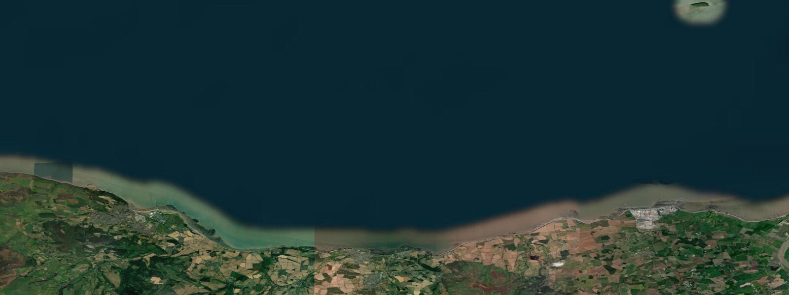
Watchet is a small working harbour town on the Somerset side of the Bristol Channel, 15 km west of Minehead and 20 km east of Lynmouth. The spring tidal range here is 10.5 m — the same scale as Minehead, driven by the same Bristol Channel resonance. The harbour dries completely at low water: the inner basin retains a shallow pool only in the last of the ebb; the outer harbour and the approach channel dry to rock and mud. Everything about the harbour's working life is organised around this fact.
The town's claim to literary distinction is one of the most specific in England. Samuel Taylor Coleridge walked from his cottage at Nether Stowey to Watchet in 1797 and, after witnessing the activity of the harbour and hearing the story of a local sailor's voyage, began composing The Rime of the Ancient Mariner. A bronze statue of the Mariner stands on the quay, and a plaque marks the tradition. The poem's opening images — the ship departing over the harbour bar, the tidal waters — draw directly from what Coleridge saw at Watchet on that autumn walk.
For sailors and small boat operators, Watchet's tidal window requires precision. The harbour entrance is accessible for vessels drawing 1.5 m or less from approximately HW −2 hours to HW +2 hours; deeper draught vessels have a narrower window. The outer harbour wall provides protection from the southwest but the approach is exposed to northerly swell from the Channel. The harbour authority (administered by Watchet Boat Owners' Association) publishes a tidal access guide; visitors should request it or telephone ahead before attempting entry. The inner marina basin, constructed in 2008, provides 70 berths with floating pontoons — one of the few wet-dock facilities on the Somerset coast.
The red and grey sandstone cliffs to the east of Watchet are a notable geological feature. The Jurassic rock sequence exposed in the cliff face between Watchet and Blue Anchor includes coal measures, mudstones, and the distinctive red Mercia Mudstone that gives the cliffs their colour. The beach below the cliffs at low water exposes fossil-bearing layers; ammonites and bivalves erode from the mudstone regularly. The foreshore below the cliffs is accessible at low tide but the cliffs are unstable — collect from the beach, never from the cliff face, and be aware that the flood covers the lower beach completely on spring tides.
Watchet is the eastern terminus of the West Somerset Railway, the longest privately operated heritage railway in England — 22 miles from Bishops Lydeard via Minehead. The railway runs steam trains in the peak season; the station at Watchet is metres from the harbour, making a harbour visit a natural extension of a steam railway day. For photographers, the combination of the steam train arriving at Watchet Station with the drying harbour and the Coleridge statue in the background is a composition unique to this coast.
The West Somerset Mineral Railway trackbed, now a walking and cycling trail, connects Watchet to the Brendon Hills 8 km inland. The railway carried iron ore from the Brendon Hills mines to Watchet harbour for shipment to South Wales steelworks in the 19th century — the ore dock ruins are visible on the east side of the harbour. The walking trail passes through Roadwater village and gives views over the Channel from the hillside sections.
Watchet's position on the Somerset coast makes it a practical base for exploring the inland Somerset Levels — the lowland wetland system 20 km southeast, designated as a Site of Special Scientific Interest and an internationally important wetland. The Levels are influenced by tidal drainage in the lower reaches of the Parrett and Brue rivers; the sluice gates controlling the drainage are operated on tidal schedules during high tidal periods. In winter the flooded fields support tens of thousands of wintering waterfowl, including large flocks of lapwing, golden plover, teal, and wigeon. The Ham Wall and Shapwick Heath RSPB reserves are accessible from Glastonbury or Bridgwater. All tide predictions for Watchet come from the Open-Meteo Marine gridded model. Timing accuracy is ±45 minutes; height accuracy is ±0.3 m above Chart Datum.
Tide questions about Watchet
Quick answers to the most common questions about tide times, range, and water access at Watchet.
What is the tidal window for entering Watchet harbour?
Watchet harbour is accessible for vessels drawing 1.5 m or less from approximately 2 hours before to 2 hours after high water, giving a working window of roughly 4 hours per tidal cycle. Vessels drawing 2.0 m have a narrower window of about 90 minutes either side of high water. The harbour entrance dries on the ebb; the spring range of 10.5 m means the harbour is bone dry at low water. The inner marina basin has floating pontoons and 70 berths; contact the harbour authority before arrival. The approach is exposed to northerly swell from the Bristol Channel.
What is the connection between Watchet and The Rime of the Ancient Mariner?
Coleridge walked from Nether Stowey to Watchet in autumn 1797 and began composing The Rime of the Ancient Mariner during or shortly after the visit, drawing on the harbour scene and local seafaring accounts. A bronze statue of the Ancient Mariner stands on the quay; a plaque on the harbour wall marks the literary association. The poem was published in Lyrical Ballads in 1798. The harbour and its tidal character — the bar, the departing ship, the working fishermen — informed the poem's opening images.
Can I find fossils on the beach near Watchet?
The Jurassic and Triassic rock sequence exposed in the cliffs east of Watchet toward Blue Anchor contains fossil-bearing mudstone layers that erode onto the beach at low water. Ammonites and bivalves are the most common finds; the Mercia Mudstone and overlying Blue Lias produce good specimens after storms. Collect from the beach only — the cliffs are unstable and should not be approached or climbed. Low water on a spring tide following a storm is the best window; the lower beach is fully exposed for 2–3 hours. Significant finds should be recorded and reported to the Bristol Museum.
How does the West Somerset Railway connect to Watchet?
The West Somerset Railway's eastern terminus is Watchet Station, metres from the harbour. The 22-mile heritage line runs steam and diesel traction from Bishops Lydeard (near Taunton) via Minehead to Watchet; the journey from Minehead takes about 20 minutes. The railway operates primarily at weekends and daily in peak season (April–October); check westsomersetrailway.co.uk for the current timetable. The combination of the steam train, the drying harbour, and the Coleridge statue makes Watchet a photogenic destination that is distinct from the other Somerset coast towns.
Is Watchet suitable for visiting yachts on a longer coastal passage?
Watchet is a viable stop for Bristol Channel passages but requires careful tidal planning. The 4-hour HW access window (±2 hours) for 1.5 m draught means short stays are easiest — arrive on the flood, depart on the next flood. The inner marina has 70 floating berths. Fuel is available from the harbour. The approach from seaward across the Bristol Channel requires up-to-date chartwork for the sandbanks east of Weston-super-Mare; the Bridgwater Bay approach route (via the Stert Island marker) is the standard deep-water approach from the east. Westbound passages should account for the strong tidal streams in Bridgwater Bay running 2–3 knots at springs.
8-day tide table — Watchet
Heights relative to MSL. Predictions: Open-Meteo Marine (MeteoFrance SMOC, 0.08° grid) — heights relative to MSL (not chart datum / LAT). Model-derived.
| Day | Type | Time | Height |
|---|---|---|---|
| Sat 27 Jun | Low | 01:00 | -1.6m / -5.1ft |
| High | 04:57 | 3.1m / 10.2ft | |
| Low | 10:46 | -3.2m / -10.6ft | |
| High | 17:21 | 3.4m / 11.0ft | |
| Low | 23:19 | -3.4m / -11.2ft | |
| Sun 28 Jun | High | 05:47 | 3.4m / 11.0ft |
| Low | 11:44 | -3.5m / -11.5ft | |
| High | 18:08 | 3.6m / 11.9ft | |
| Mon 29 Jun | Low | 00:11 | -3.8m / -12.3ft |
| High | 06:28 | 3.5m / 11.3ft | |
| Low | 12:27 | -3.8m / -12.6ft | |
| High | 18:51 | 3.7m / 12.3ft | |
| Tue 30 Jun | Low | 00:57 | -4.0m / -13.1ft |
| High | 07:10 | 3.7m / 12.1ft | |
| Low | 13:14 | -4.0m / -13.0ft | |
| High | 19:28 | 3.9m / 12.7ft | |
| Wed 01 Jul | Low | 01:40 | -4.2m / -13.8ft |
| High | 07:49 | 3.7m / 12.2ft | |
| Low | 13:56 | -4.1m / -13.5ft | |
| High | 20:05 | 4.0m / 13.2ft | |
| Thu 02 Jul | Low | 02:20 | -4.2m / -13.9ft |
| High | 08:24 | 3.7m / 12.1ft | |
| Low | 14:37 | -4.2m / -13.9ft | |
| High | 20:41 | 3.9m / 12.7ft | |
| Fri 03 Jul | Low | 02:59 | -4.4m / -14.5ft |
| High | 08:58 | 3.6m / 11.7ft | |
| Low | 15:12 | -4.3m / -14.0ft | |
| High | 21:14 | 3.8m / 12.6ft | |
| Sat 04 Jul | Low | 00:00 | 0.2m / 0.7ft |