Cromer tide times
Cromer tide forecast — heights relative to MSL.
Today's tide times for Cromer
Tide times at Cromer on Friday, 19 June 2026: first high tide at 01:00, first low tide at 04:31, second high tide at 09:43, second low tide at 17:03, third high tide at 22:40. Sunrise 04:28, sunset 21:23.
Tide chart for Cromer
24-hour cosine-interpolated curve around the present moment. Heights relative to MSL. Predictions: Predictions: Open-Meteo Marine (MeteoFrance SMOC, 0.08° grid).
Sun, moon and conditions on Fri 19 Jun
Snapshot at build time — refreshes daily. Sea state from Open-Meteo Marine.
Highs and lows next 7 days
Every predicted high and low for the next week, with the daily tidal coefficient (0–120; higher = bigger swing, > 95 means stronger currents).
Other spots nearby
The three closest curated TideTurtle locations to Cromer, measured by great-circle distance.
Today's solunar windows
Solunar tradition: major periods are the ≈3h windows around moon transit and opposition; minor are ≈2h around moonrise and moonset. Pair with the local tide stage and wind for the best read.
Cycle dates near Cromer
Last spring tide on Fri 19 Jun (range 4.5m / 14.6ft). Next neap on Tue 23 Jun.
Spring tides cluster around new and full moons (biggest swings). Neap tides land on quarter moons (smallest swings). See the spring tide and neap tide glossary entries for the why.
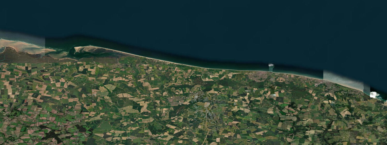
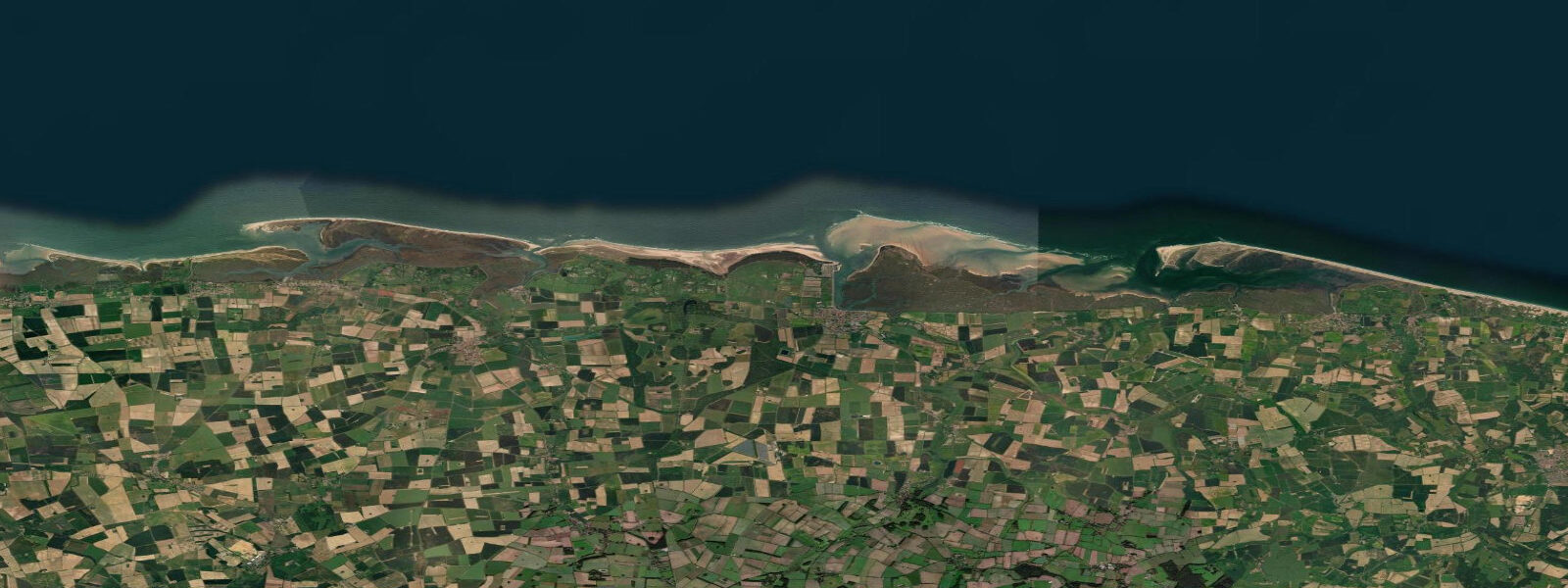
About tides at Cromer
A short guide to the coastline at Cromer — geography, sea state, and what the tide is actually doing under your feet.
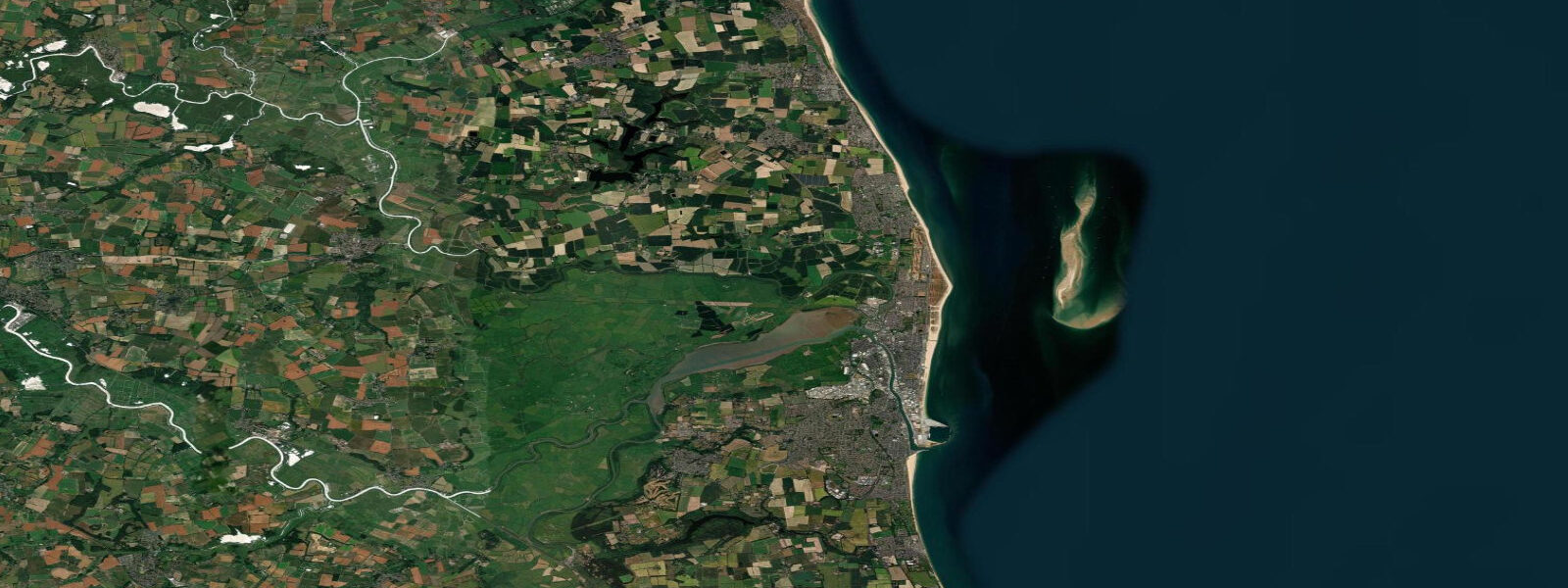
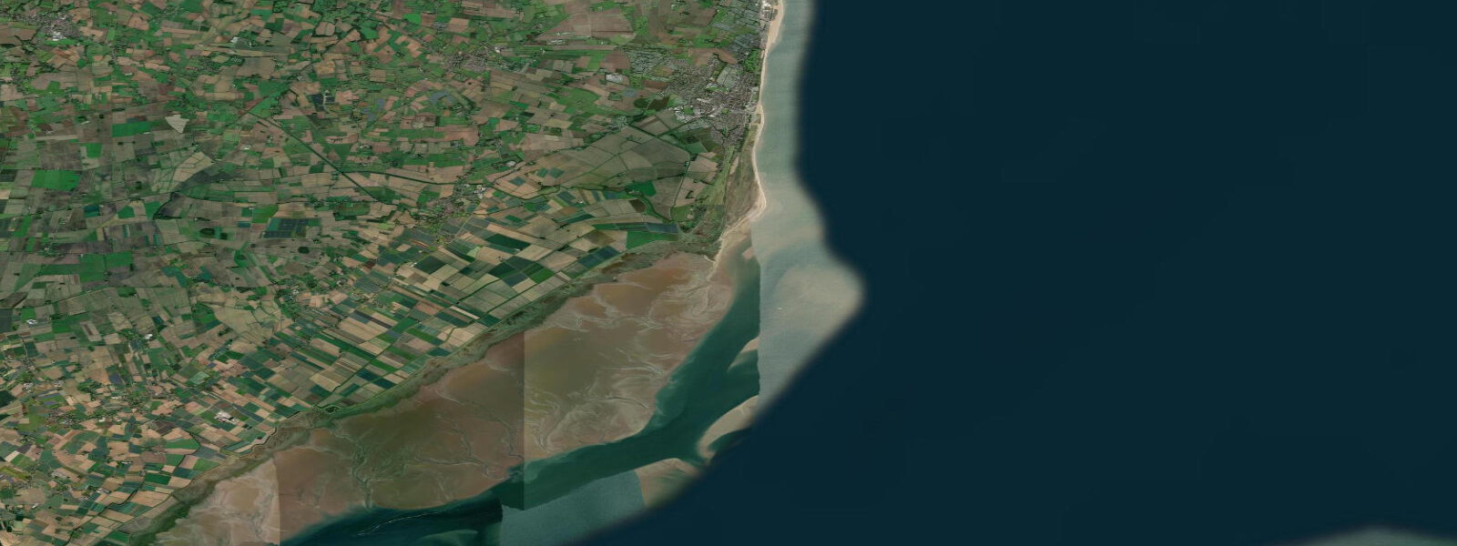
Cromer occupies the corner of Norfolk where the north coast meets the east coast — a point of cliffs, a pier, and a crab fishery with a 400-year history. Cromer crabs (specifically the brown crab, Cancer pagurus, caught in the chalk reef system close inshore) are considered the finest in England. The boats work from the beach, launching and landing through the surf on an open shingle shore with no harbour protection — a seamanship tradition that has defined the town. Mean spring tidal range at Cromer is around 4.0 metres.
The Cromer crab boats are distinctive: low, wide, fiberglass hulls with powerful outboards, launched stern-first into the shore break by tractor. The launch timing is tidal — boats leave and return when the surf conditions and tide allow. The season runs April through October, with peak landings in May and June. Fresh crabs are sold from the fish stalls on the harbour apron and from several shops in the town; dressed Cromer crab (cold, in the shell) is the standard local fast food.
The pier at Cromer is the longest remaining intact pier on the east coast — 151 metres, with a theatre at the end (the Pavilion Theatre) that has run end-of-pier variety shows continuously for over a century. Fishing from the pier is permitted and legal; mackerel in summer, whiting and codling in autumn and winter are the main targets.
The chalk reef system that runs 1 to 3 km offshore from Cromer is what produces the crab quality. The reef is also the habitat for lobster, and smaller quantities are landed alongside the crabs. The chalk extends from Cromer north and east; in summer, when visibility improves, the reef is visible from above the surface as green-tinged shallow sections.
The cliffs at Cromer are actively eroding — the Norfolk cliffs are some of the fastest-eroding in Europe (1 to 3 metres per year on average), and Cromer is on the losing edge of this process. The cliff-top walk east toward Mundesley passes through sections of recent falls; the path is redirected regularly. The beach below the cliffs is productive for fossil hunting — Pleistocene bones (mammoth, woolly rhinoceros, hyena) erode from the Norwich Crag formation.
Tide predictions on this page come from Open-Meteo Marine, a gridded global ocean model, cross-referenced with UK Environment Agency gauge data. For the most accurate local predictions, consult the UK National Tide Gauge Network via CEFAS or the UKHO's EasyTide service.
Tide questions about Cromer
Quick answers to the most common questions about tide times, range, and water access at Cromer.
What makes Cromer crabs special?
Cromer brown crabs (Cancer pagurus) are caught in pots on the chalk reef system 1 to 3 km offshore. The chalk ground is said to produce a denser, sweeter crab meat compared to crabs from other grounds — the reef's particular food sources are the likely explanation. The boats work from an open beach (no harbour), launching through surf, which limits operations to calmer conditions and keeps the fishery small-scale. Season April through October; peak May to June. Buy dressed crab at the harbour stalls or the town fishmongers.
What is the tidal range at Cromer?
Mean spring range at Cromer is approximately 4.0 metres. At low water on spring tides, the beach below the pier extends well out; at high water the sea washes close to the sea wall. The open beach location (no harbour) means the crab boats and the launching conditions are directly affected by tide timing and surf state — you can often observe the boats timing their launch around the tide.
Can I find fossils at Cromer beach?
Yes — the cliffs east of Cromer expose the Norwich Crag formation, a Pleistocene deposit rich in mammal remains. Mammoth teeth and bones, woolly rhinoceros, and hyena material erode regularly from the cliffs after storms and can be found on the beach below. The best time is in the 2 to 3 hours after low water following a storm, when newly exposed material has settled. The cliffs themselves are unstable — collect from the beach, not from the cliff face. Any vertebrate fossil of scientific significance should be reported to Norfolk Museums Service.
Does Cromer Pier have shows?
Cromer Pier Pavilion Theatre at the end of the pier has run end-of-pier summer variety shows since 1899 — one of the last continuously operating traditional seaside theatre venues in the UK. Shows run from June through September; the programme typically includes comedy, magic, singing, and dance in a traditional revue format. Book through the Cromer Pier website. The theatre seats around 500; popular shows sell out weeks in advance in summer.
Is the cliff-top walk at Cromer safe?
The cliff-top paths are open but require caution. Norfolk's soft clay and sand cliffs erode 1 to 3 metres per year on average, and sections close regularly after falls. The coast path east toward Overstrand and Mundesley is well-waymarked but keep strictly to the path and away from the cliff edge. Never walk below the cliffs — falls occur without warning. After storms, check with the local coastguard before using cliff-top paths that may have been affected.
7-day tide table — Cromer
Heights relative to MSL. Predictions: Open-Meteo Marine (MeteoFrance SMOC, 0.08° grid) — heights relative to MSL (not chart datum / LAT). Model-derived.
| Day | Type | Time | Height |
|---|---|---|---|
| Fri 19 Jun | High | 01:00 | -0.1m / -0.3ft |
| Low | 04:31 | -1.9m / -6.2ft | |
| High | 09:43 | 1.7m / 5.7ft | |
| Low | 17:03 | -2.7m / -8.9ft | |
| High | 22:40 | 1.0m / 3.3ft | |
| Sat 20 Jun | Low | 05:13 | -1.7m / -5.4ft |
| High | 10:31 | 1.6m / 5.3ft | |
| Low | 17:51 | -2.5m / -8.2ft | |
| High | 23:39 | 0.9m / 3.0ft | |
| Sun 21 Jun | Low | 06:06 | -1.6m / -5.3ft |
| High | 11:32 | 1.3m / 4.4ft | |
| Low | 18:47 | -2.3m / -7.6ft | |
| Mon 22 Jun | High | 00:33 | 0.5m / 1.6ft |
| Low | 19:39 | -2.1m / -7.0ft | |
| Tue 23 Jun | High | 01:52 | 0.6m / 1.9ft |
| Low | 20:34 | -1.7m / -5.6ft | |
| Wed 24 Jun | High | 02:50 | 0.7m / 2.4ft |
| Low | 08:54 | -1.2m / -3.8ft | |
| High | 14:45 | 0.9m / 3.0ft | |
| Low | 21:42 | -1.6m / -5.4ft | |
| Thu 25 Jun | High | 03:46 | 0.7m / 2.3ft |
| Low | 10:05 | -1.3m / -4.4ft | |
| High | 16:01 | 0.8m / 2.8ft | |
| Low | 22:42 | -1.5m / -4.8ft |