Skegness tide times
Skegness tide forecast — heights relative to MSL.
Today's tide times for Skegness
Tide times at Skegness on Sunday, 21 June 2026: first high tide at 01:00, first low tide at 05:33, second high tide at 11:14, second low tide at 18:08. Sunrise 04:31, sunset 21:29.
Tide chart for Skegness
24-hour cosine-interpolated curve around the present moment. Heights relative to MSL. Predictions: Predictions: Open-Meteo Marine (MeteoFrance SMOC, 0.08° grid).
Sun, moon and conditions on Sun 21 Jun
Snapshot at build time — refreshes daily. Sea state from Open-Meteo Marine.
Highs and lows next 7 days
Every predicted high and low for the next week, with the daily tidal coefficient (0–120; higher = bigger swing, > 95 means stronger currents).
Other spots nearby
The three closest curated TideTurtle locations to Skegness, measured by great-circle distance.
Today's solunar windows
Solunar tradition: major periods are the ≈3h windows around moon transit and opposition; minor are ≈2h around moonrise and moonset. Pair with the local tide stage and wind for the best read.
Cycle dates near Skegness
Last spring tide on Sun 21 Jun (range 5.0m / 16.5ft). Next spring tide on Sat 27 Jun (range 3.9m / 12.7ft). Next neap on Thu 25 Jun.
Spring tides cluster around new and full moons (biggest swings). Neap tides land on quarter moons (smallest swings). See the spring tide and neap tide glossary entries for the why.
About tides at Skegness
A short guide to the coastline at Skegness — geography, sea state, and what the tide is actually doing under your feet.
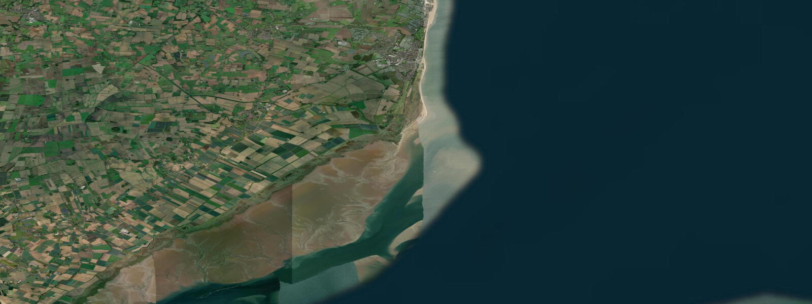
Skegness is the principal resort on the Lincolnshire coast, fronting the North Sea on a broad, flat shoreline at the northern edge of the Wash. The tidal character here is macrotidal and dramatic: mean spring range approximately 4.4 m above Chart Datum. At low water on a spring tide the sea retreats 300 to 500 metres from the high-water line, exposing a vast expanse of firm sand that is at once the beach's greatest draw and its most disorienting feature for visitors unfamiliar with large-range coastlines.
The 'Jolly Fisherman' poster — drawn for the Great Northern Railway in 1908 — fixed Skegness as a national institution. 'Skegness is SO Bracing' was the tagline; the figure running on the beach was a pastiche, but the beach itself was real enough. The Victorian railway brought East Midlands industrial workers here on day returns, and the resort built itself around that audience: funfair, arcades, Butlin's (opened 1936, still trading), and a wide promenade designed for foot traffic in large numbers.
The wide sand beach is the defining feature. At mid-tide the firm sand extends seamlessly from the prom edge to the surf line — a surface good enough for cricket and beach football, which are played here routinely in summer. The sand firms at low water and is accessible to most mobility levels. Donkey rides operate from the pier approach in summer, as they have since the early 1900s.
For families, the tidal rhythm shapes the day. High tide brings the sea close to the promenade and compresses the usable beach to a narrow strip — this is when the indoor arcades and funfair rides absorb the crowd. Two to three hours after high water the tide retreats far enough to expose the main beach, and the movement outward to the water's edge is a visible mass event on warm summer weekends. Low tide is rock-pool time on the northern beach toward Seacroft, where the receding sea leaves shallow pools in the sand ridges.
Anglers come for Lincolnshire's reliable flatfish: dab, flounder, and plaice are caught from the beach north and south of town from late spring through autumn. The best flatfish sessions are on the flood tide, an hour before to two hours after high water, with lugworm as the standard bait. Bass arrive with the warmer water in June and fish well on summer evenings on the flood. The pier (accessed via the pier approach on the seafront) extends 384 metres and fishes pouting, whiting, and mackerel through the summer season.
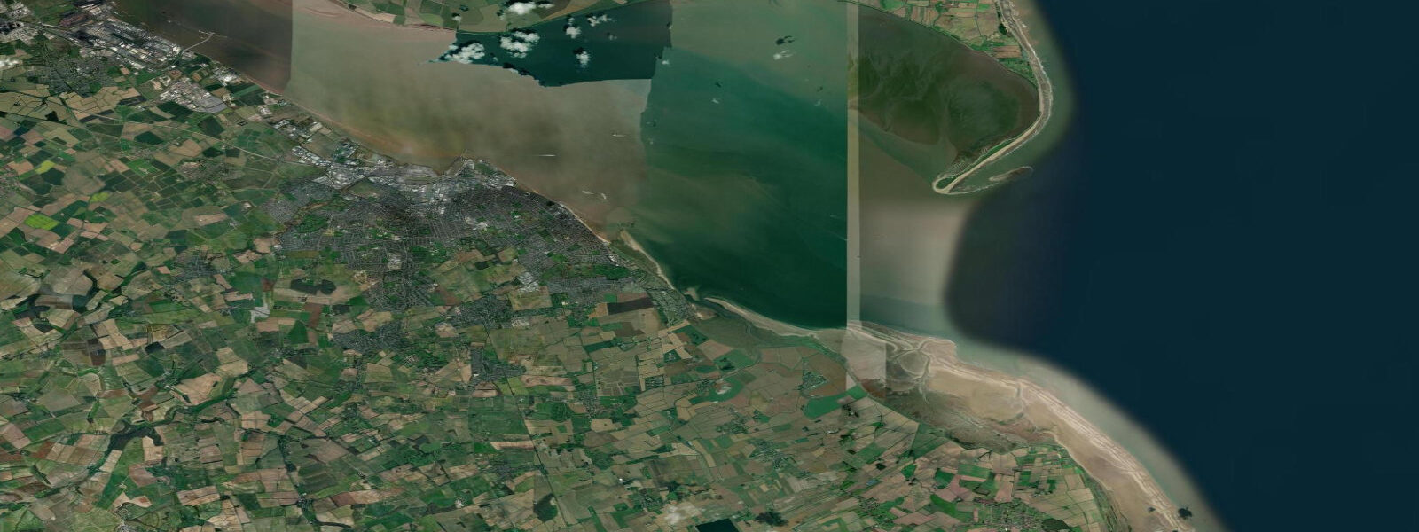
The Wash to the south exerts a significant influence on local conditions. The bay funnels tide and wind; in northeasterly gales the sea state on the southern Lincolnshire coast can build quickly, and storm surges here are taken seriously — the area was badly hit in the 1953 North Sea flood. Modern coastal defences include sea banks and barriers, but the Environment Agency maintains flood alert systems active for the Lincolnshire coast.
Tide predictions here come from Open-Meteo Marine (±45 min / ±0.2–0.3 m above Chart Datum), cross-referenced with EA Flood Monitoring gauges and the NTSLF network. For authoritative predictions, consult the UK Hydrographic Office EasyTide service and Admiralty Tide Tables (NP201, Volume 1).
Tide questions about Skegness
Quick answers to the most common questions about tide times, range, and water access at Skegness.
What is the tidal range at Skegness and how far does the sea go out?
Skegness has a mean spring tidal range of approximately 4.4 m above Chart Datum — macrotidal, placing it among the more extreme tidal ranges on the English east coast. On a spring low tide the sea retreats 300 to 500 metres from the promenade, exposing a broad, flat expanse of firm sand that appears to stretch to the horizon. The timing of this exposure makes a significant difference to beach use: two to three hours after high water the sand is still wet and firm; four to five hours after high water the tide is at its furthest extent. Neap tides produce a smaller range of around 2.8 m and expose correspondingly less foreshore.
What is the best time to visit Skegness Beach for families with young children?
The incoming flood tide from mid-ebb to high water is generally the most family-friendly window — the sea is advancing steadily, the shallow foreshore warms quickly in summer sun, and the transition from dry sand to ankle-deep water is gradual and predictable. The two hours before high water give the shallowest gradient and warmest water. At low water the sea is too far out for young children to reach easily, and the walk back from the water's edge across wet sand can be tiring for small legs. Check the tide table the day before and plan to arrive two to three hours before high water.
Is fishing from Skegness Pier and beach productive?
Yes — Skegness is a reliable flatfish coast. Dab and flounder are caught from the beach from spring through autumn; plaice are taken on the flood tide in May and June on fine-wire hooks baited with lugworm or ragworm. Bass arrive in June and fish into September on summer evenings, targeting the flood tide over the sandbanks exposed at low water. The 384-metre pier fishes mackerel from July through September on feathers, with pouting and whiting extending the season into November. Best beach sessions are typically one hour before to two hours after high water when the tide is pushing over the sand banks closest to shore.
Is the Skegness coast at risk of flooding, and what should I be aware of?
Yes — the Lincolnshire coast has a documented storm surge risk. The January 1953 North Sea flood caused significant damage to Skegness and the surrounding area, with water overtopping sea banks and flooding inland for several kilometres. Modern sea defences have been substantially upgraded since 1953, but the Environment Agency maintains active flood alert systems for this coast. The risk scenario is a northerly or northeasterly storm coinciding with a spring high tide, which can produce a surge of 1 to 2 m above predicted tide levels. Check EA flood alerts before camping or staying in low-lying accommodation near the foreshore during autumn and winter storm events.
How accurate are the tide times shown for Skegness, and where can I get official predictions?
Tide predictions on this page come from Open-Meteo Marine, a global gridded ocean model. Accuracy is typically ±45 minutes for timing and ±0.2–0.3 m for heights above Chart Datum — appropriate for planning beach activity and general scheduling. For navigation in The Wash or any channel approaches south of Skegness, consult the UK Hydrographic Office Admiralty Tide Tables (NP201, Volume 1) and UKHO Admiralty charts; the Wash is a complex, shallow-water tidal environment with significant local variation not fully captured by gridded models. The NTSLF maintains gauge stations on the Lincolnshire coast providing real-time observations.
7-day tide table — Skegness
Heights relative to MSL. Predictions: Open-Meteo Marine (MeteoFrance SMOC, 0.08° grid) — heights relative to MSL (not chart datum / LAT). Model-derived.
| Day | Type | Time | Height |
|---|---|---|---|
| Sun 21 Jun | High | 01:00 | 1.0m / 3.2ft |
| Low | 05:33 | -2.3m / -7.7ft | |
| High | 11:14 | 2.1m / 6.8ft | |
| Low | 18:08 | -3.0m / -9.7ft | |
| Mon 22 Jun | High | 00:08 | 1.2m / 4.1ft |
| Low | 06:12 | -2.2m / -7.1ft | |
| High | 12:14 | 1.8m / 5.8ft | |
| Low | 18:54 | -2.8m / -9.2ft | |
| Tue 23 Jun | High | 01:16 | 1.1m / 3.8ft |
| Low | 07:03 | -1.9m / -6.4ft | |
| High | 13:18 | 1.4m / 4.7ft | |
| Low | 19:36 | -2.4m / -7.7ft | |
| Wed 24 Jun | High | 02:21 | 1.4m / 4.5ft |
| Low | 08:03 | -1.5m / -5.0ft | |
| High | 14:22 | 1.6m / 5.2ft | |
| Low | 20:36 | -2.1m / -7.0ft | |
| Thu 25 Jun | High | 03:09 | 1.3m / 4.4ft |
| Low | 09:02 | -1.8m / -5.9ft | |
| High | 15:28 | 1.4m / 4.7ft | |
| Low | 21:32 | -2.0m / -6.7ft | |
| Fri 26 Jun | High | 04:02 | 1.4m / 4.5ft |
| Low | 10:04 | -2.0m / -6.5ft | |
| High | 16:23 | 1.5m / 4.9ft | |
| Low | 22:34 | -2.1m / -6.9ft | |
| Sat 27 Jun | High | 04:52 | 1.6m / 5.3ft |
| Low | 11:09 | -2.0m / -6.6ft | |
| High | 17:09 | 1.7m / 5.5ft | |
| Low | 23:27 | -2.2m / -7.2ft |