Wells-next-the-Sea tide times
Wells-next-the-Sea tide forecast — heights relative to MSL.
Today's tide times for Wells-next-the-Sea
Tide times at Wells-next-the-Sea on Friday, 19 June 2026: first high tide at 01:00, first low tide at 04:12, second high tide at 09:28, second low tide at 16:44, third high tide at 22:20. Sunrise 04:30, sunset 21:25.
Tide chart for Wells-next-the-Sea
24-hour cosine-interpolated curve around the present moment. Heights relative to MSL. Predictions: Predictions: Open-Meteo Marine (MeteoFrance SMOC, 0.08° grid).
Sun, moon and conditions on Fri 19 Jun
Snapshot at build time — refreshes daily. Sea state from Open-Meteo Marine.
Highs and lows next 7 days
Every predicted high and low for the next week, with the daily tidal coefficient (0–120; higher = bigger swing, > 95 means stronger currents).
Other spots nearby
The three closest curated TideTurtle locations to Wells-next-the-Sea, measured by great-circle distance.
Today's solunar windows
Solunar tradition: major periods are the ≈3h windows around moon transit and opposition; minor are ≈2h around moonrise and moonset. Pair with the local tide stage and wind for the best read.
Cycle dates near Wells-next-the-Sea
Last spring tide on Fri 19 Jun (range 5.5m / 18.0ft). Next neap on Thu 25 Jun.
Spring tides cluster around new and full moons (biggest swings). Neap tides land on quarter moons (smallest swings). See the spring tide and neap tide glossary entries for the why.
About tides at Wells-next-the-Sea
A short guide to the coastline at Wells-next-the-Sea — geography, sea state, and what the tide is actually doing under your feet.
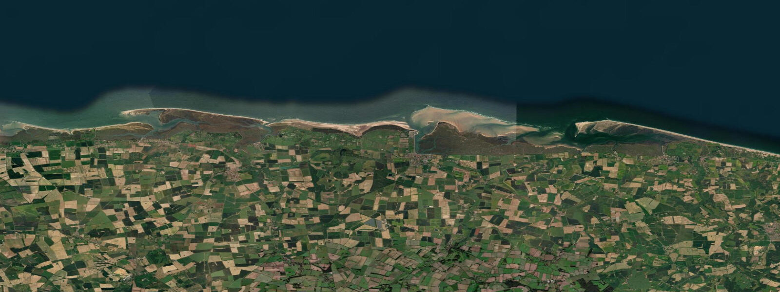
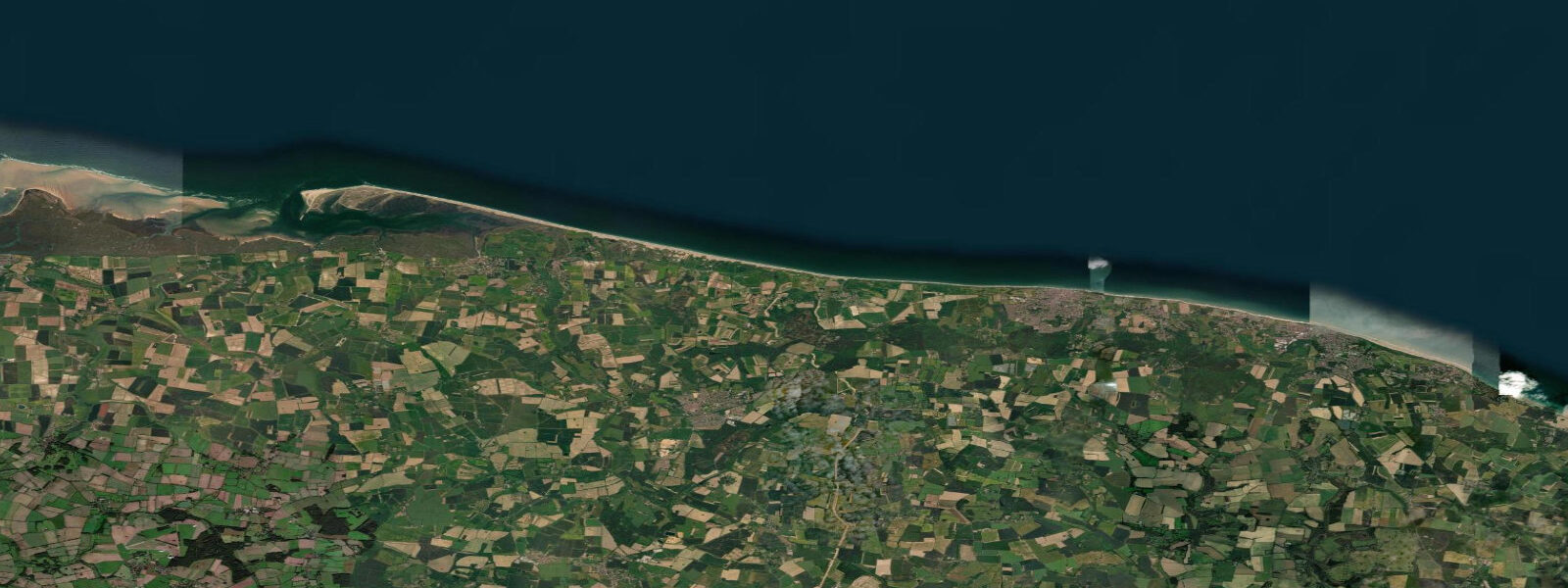
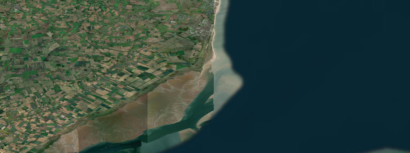
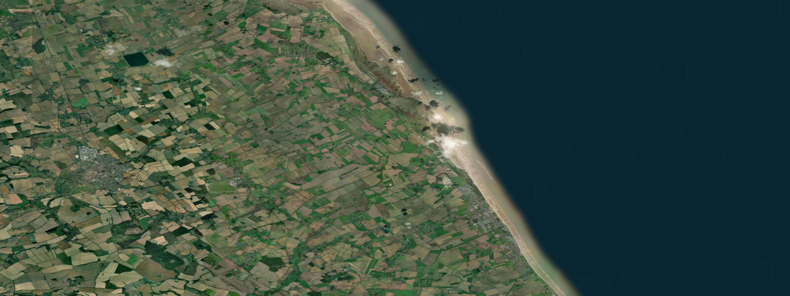
Wells-next-the-Sea is on the north Norfolk coast, a tidal creek town where the harbour dries completely at low water and the main channel runs between extensive saltmarshes and tidal flats. The name 'next-the-sea' reflects the reality: a mile-long strip of pine-fringed sand dunes separates the town from the open North Sea. Tidal range is moderate by English standards — mean spring range around 4.5 metres — but the topography amplifies it dramatically. The creek that forms the harbour can shift from dry mud to 3 metres of navigable water in a single tidal cycle.
The beach at Wells is exceptional: a wide, flat, north-facing strand of pale sand backed by Corsican pines. At low spring tide the sand extends over 500 metres from the tide line to the dunes. In summer the beach fills with families; out of season it empties to a handful of walkers and the occasional kitesurfer. The RNLI lifeboat operates from the beach during the summer season; the currents in the channel mouth can be unpredictable for swimmers in tidal conditions.
For boaters, the Wells channel requires careful pilotage. The channel shifts after winter storms; local knowledge is essential and up-to-date chart data is critical. The harbour master publishes guidance on the current channel alignment. Sailing in and out of Wells on the appropriate tide — entering on the flood, leaving on the ebb — is how local boats are managed. The quay is an active working harbour with shellfish boats; whelks (periwinkles) are a major export from north Norfolk, and the boats work tidal schedules.
Crabbing from the harbour quay is the quintessential Wells activity. Children spend hours dipping lines into the tidally-filling creek, pulling up shore crabs and the occasional edible crab. The incoming tide is the best time — crabs move up the creek with the flood. The Wells quay is lined with crabbing-line sellers and a fish-and-chip shop.
The north Norfolk coast is one of the UK's finest birdwatching stretches. Titchwell Marsh RSPB Reserve (10 km west), Holkham National Nature Reserve (5 km west), and Cley Marshes (20 km east) are the key sites. Coastal migration produces exceptional autumn rarity records — Wells wood (the pine plantation behind the beach) is a classic migrant trap for scarce and rare warblers, flycatchers, and chats in September and October.
Tide predictions on this page come from Open-Meteo Marine, a gridded global ocean model, cross-referenced with UK Environment Agency gauge data. For the most accurate local predictions, consult the UK National Tide Gauge Network via CEFAS or the UKHO's EasyTide service.
Tide questions about Wells-next-the-Sea
Quick answers to the most common questions about tide times, range, and water access at Wells-next-the-Sea.
What is the tidal range at Wells-next-the-Sea?
Mean spring range at Wells is about 4.5 metres. The shallow topography and the mile-long channel to the beach amplifies the effect: the harbour dries completely at low water and fills to 3 metres at high water. The tidal creek, saltmarshes, and beach flats are transformed at each tidal cycle. The channel depth and position shift seasonally; visiting boats should request the current channel guide from the harbour master.
When is the best time for crabbing at Wells harbour?
The incoming tide from about 2 hours after low water is the best window — crabs move up the creek with the flood. At low water, the quay is above dry mud and the water is too far away for crabbing lines. The quay-side sellers hire out lines with bait (bacon is the traditional bait). Peak crabbing season is May through September. The harbour quay is quieter early morning and late afternoon — avoid midday in July and August if you want elbow room.
Is Wells-next-the-Sea good for birdwatching?
The north Norfolk coast is one of the top birdwatching areas in the UK. Wells is surrounded by prime habitat: Holkham National Nature Reserve (5 km west) is important for overwintering geese and marsh harriers; the Wells beach pine woods are a classic autumn migration trap for scarce warblers, flycatchers, and rarities from September to October. Cley Marshes (20 km east) and Titchwell RSPB (10 km west) are the best reserves on the coast.
Can I sail into Wells harbour?
Wells is accessible to sailing boats drawing up to about 1.5 metres, entering on the flood approximately 2 to 3 hours after low water. The channel is unmarked and shifts after storms — contact the harbour master (01328 711646) before arrival for current channel guidance. Entering on the ebb or at low water risks grounding; the mud is soft and recovery is possible but unpleasant. The harbour has visitor moorings on a first-come basis.
How do I get from the Wells town quay to the beach?
The beach is about 1 km north of the quay, accessible by a raised narrow-gauge railway (the Wells Harbour Railway, seasonal) or by a 15-minute walk along the embankment path through the saltmarsh. The road does not reach the beach — pedestrian and the railway are the only options. Pushchairs and mobility scooters can manage the path in good weather. The beach pinewood and the open strand are equally accessible; the pine wood section is shaded in summer and good for picnics.
8-day tide table — Wells-next-the-Sea
Heights relative to MSL. Predictions: Open-Meteo Marine (MeteoFrance SMOC, 0.08° grid) — heights relative to MSL (not chart datum / LAT). Model-derived.
| Day | Type | Time | Height |
|---|---|---|---|
| Fri 19 Jun | High | 01:00 | -0.4m / -1.4ft |
| Low | 04:12 | -2.3m / -7.6ft | |
| High | 09:28 | 2.3m / 7.4ft | |
| Low | 16:44 | -3.2m / -10.5ft | |
| High | 22:20 | 1.5m / 5.0ft | |
| Sat 20 Jun | Low | 04:58 | -2.1m / -6.8ft |
| High | 10:21 | 2.1m / 6.9ft | |
| Low | 17:31 | -3.0m / -9.7ft | |
| High | 23:22 | 1.4m / 4.6ft | |
| Sun 21 Jun | Low | 05:48 | -2.0m / -6.7ft |
| High | 11:23 | 1.8m / 5.9ft | |
| Low | 18:25 | -2.7m / -9.0ft | |
| Mon 22 Jun | High | 00:21 | 0.9m / 3.0ft |
| Low | 06:32 | -2.0m / -6.5ft | |
| High | 12:25 | 1.5m / 4.8ft | |
| Low | 19:14 | -2.5m / -8.3ft | |
| Tue 23 Jun | High | 01:33 | 1.0m / 3.2ft |
| Low | 07:25 | -1.6m / -5.2ft | |
| High | 13:28 | 1.3m / 4.4ft | |
| Low | 20:04 | -2.0m / -6.7ft | |
| Wed 24 Jun | High | 14:39 | 1.3m / 4.3ft |
| Low | 21:06 | -1.9m / -6.3ft | |
| Thu 25 Jun | High | 03:28 | 1.1m / 3.5ft |
| Low | 09:33 | -1.7m / -5.4ft | |
| High | 15:43 | 1.3m / 4.1ft | |
| Low | 22:04 | -1.7m / -5.7ft | |
| Fri 26 Jun | High | 00:00 | -1.2m / -3.8ft |