Cowes tide times
Cowes tide forecast — heights relative to MSL.
Today's tide times for Cowes
Tide times at Cowes on Saturday, 27 June 2026: first high tide at 01:00, first low tide at 02:46, second high tide at 10:24, second low tide at 15:00, third high tide at 22:38. Sunrise 04:53, sunset 21:22.
Tide chart for Cowes
24-hour cosine-interpolated curve around the present moment. Heights relative to MSL. Predictions: Predictions: Open-Meteo Marine (MeteoFrance SMOC, 0.08° grid).
Sun, moon and conditions on Sat 27 Jun
Snapshot at build time — refreshes daily. Sea state from Open-Meteo Marine.
Highs and lows next 7 days
Every predicted high and low for the next week, with the daily tidal coefficient (0–120; higher = bigger swing, > 95 means stronger currents).
Other spots nearby
The three closest curated TideTurtle locations to Cowes, measured by great-circle distance.
Today's solunar windows
Solunar tradition: major periods are the ≈3h windows around moon transit and opposition; minor are ≈2h around moonrise and moonset. Pair with the local tide stage and wind for the best read.
Cycle dates near Cowes
Next spring tide on Fri 03 Jul (range 1.9m / 6.4ft). Last neap on Sat 27 Jun.
Spring tides cluster around new and full moons (biggest swings). Neap tides land on quarter moons (smallest swings). See the spring tide and neap tide glossary entries for the why.
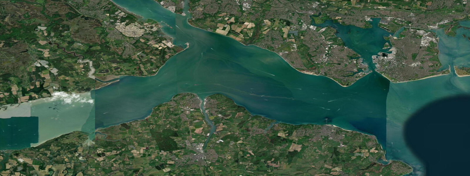
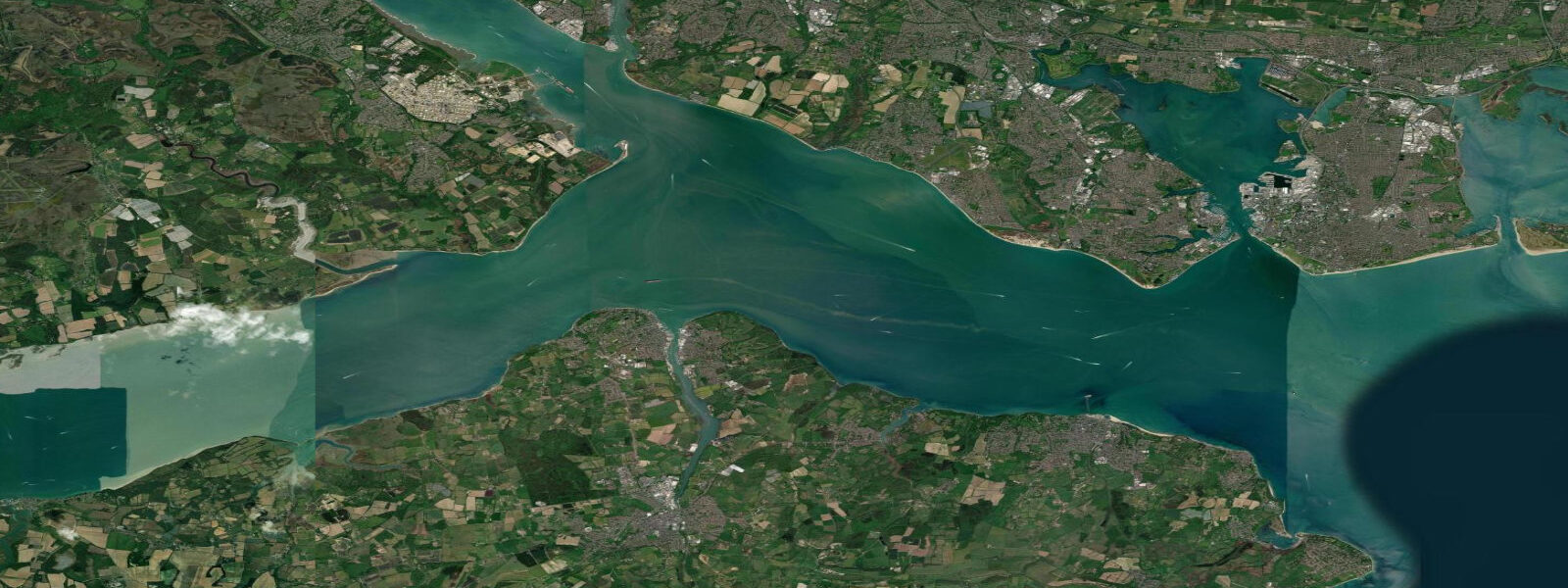
About tides at Cowes
A short guide to the coastline at Cowes — geography, sea state, and what the tide is actually doing under your feet.
Cowes is where the tidal physics of The Solent become impossible to ignore. Southampton Water, to the north, is itself fed by two rivers and flanked by Calshot Spit. The geometry of the channel forces the incoming Atlantic tidal wave to behave unlike anywhere else on the English coast: as the flood arrives, the water level rises to a first high-water peak, then holds near-high for two to three hours before climbing a second, smaller peak. Only then does the ebb begin in earnest. This double high water is not a quirk but a consistent feature, repeating on every spring cycle. At Cowes, mean spring range is approximately 4.1 m, from chart datum to mean high water springs.
For sailors, this is not an abstraction. Cowes Week — held in early August — is the largest keelboat regatta in the world by fleet size, regularly exceeding 800 boats over its eight-day programme. Race officers schedule starts and courses around the Solent's tidal gates. The main Solent channel between Cowes and the Hampshire shore sees tidal streams of 2.5 to 3 knots on spring tides; racing with or against that stream is decisive on any course that runs east-west. The tide turns first in the west, then progressively eastward — knowing when the lift of the flood swings to the foul of the ebb on your specific patch of water is the skill separating club racers from serious contenders.
The Round the Island Race, held in June, is a single 50 nautical mile lap of the island. With 1,700 to 1,800 boats entering in peak years, it is the largest offshore race in the world by entry. The course is entirely tidal: the first-timed boats ride the west-going ebb around the south coast, clearing The Needles ahead of the tide change. Boats that start late fight the flood flood on the south shore. Timing the Hurst Narrows passage — where the Solent's western entrance compresses to under 2 km width and streams reach 4 knots — is the race's critical tactical moment.
For visitors, Cowes High Street and the floating bridge crossing to East Cowes are accessible at all states of tide. The harbour is dredged and maintains 2 m of water at chart datum in the main channel. Berths at Cowes Yacht Haven and the Cowes Harbour Commission pontoons are tidal — check your draft against the predicted low water before booking a mud berth.
Kayakers launching from the Cowes Esplanade should use the slack water window around low tide for crossing the main Solent channel. The 3-knot spring stream will move a kayak 150 m downstream per minute of crossing time; plan your ferry glide accordingly. The River Medina, running south from Cowes to Newport, is excellent on the flood — 12 km each way, navigable to Newport at mid to high water, with kingfishers on the upper reaches and mullet in the lower.
Photographers should position themselves on the East Cowes waterfront for Cowes Week starts — the combination of massed spinnakers, the Solent light, and the tidal flow pushing boats downwind produces dense, layered compositions. Pre-dawn at the town quay on a spring low water, when the channel narrows to the moored boats, also works well in any season.
The Medina River upstream from Cowes has not been fully discussed for anglers: bass and mullet follow the flood tide into the lower Medina from May through October. Bass are caught on the first of the flood immediately inside the harbour entrance on soft plastics; mullet work the quieter upstream reaches on mid-flood, taking floating crust or small commercial pellets on light float tackle. The Medina's tidal reach extends to Newport; the window for fishing the upper river is mid-flood to high water. Below Newport Quay the river holds good flounder stocks on the autumn ebb.
Tidal predictions here use the Open-Meteo Marine gridded model (±45 minutes on timing, ±0.3 m on height). Not for navigation.
Tide questions about Cowes
Quick answers to the most common questions about tide times, range, and water access at Cowes.
What is the double high water at Cowes and why does it happen?
Cowes experiences a double high water on the flood tide: the water level rises to a first peak, holds near-high for two to three hours, then climbs to a second smaller peak before the ebb begins. The cause is the interaction between the Atlantic tidal wave entering the Solent from the west and the reflected wave from Southampton Water and the Eastern Solent. The two waves partially superimpose, creating an extended high-water stand rather than a sharp peak. This makes Cowes harbour accessible near high water for significantly longer than a typical semidiurnal port.
How fast are the tidal streams in the Solent at Cowes?
Tidal streams in the main Solent channel off Cowes reach 2.5 to 3 knots at spring tides. The stream sets east on the flood and west on the ebb. In the Hurst Narrows at the western Solent entrance, roughly 12 km west of Cowes, streams reach 4 knots at springs. Within Cowes harbour itself, the tidal stream is slower — typically 1 to 1.5 knots in the main channel. Slack water at Cowes is short, around 20 to 30 minutes, before the stream rebuilds in the opposite direction.
When is Cowes Week and how do I plan around the tides?
Cowes Week is held in the first full week of August. Race courses exploit the Solent's tidal streams — a 2.5 to 3 knot spring stream is effectively a permanent 3-knot true-wind correction on east-west courses. The regatta is scheduled around the period of maximum spring range when tidal streams are strongest and start-line tide effects are most pronounced. For spectators, the best vantage points are the Cowes Esplanade and Gurnard Head to the west. The ferry from Southampton to East Cowes runs frequently during the week.
Can you kayak the River Medina from Cowes?
The River Medina from Cowes to Newport is an excellent 12 km kayak route on the flood tide. The river is navigable to Newport Harbour at mid to high water — below half tide, the upper reaches become very shallow. Launch from the Cowes Esplanade slip on a rising tide, two to three hours before predicted high water, and paddle south with the flood. Return on the ebb. The lower Medina has mullet from June through October; the upper river above the Folly Inn has kingfishers and occasional otter sightings. Newport Harbour dries at low water.
Is the Solent safe for swimming near Cowes?
Swimming in the main Solent channel off Cowes is not advisable due to tidal streams of 2.5 to 3 knots and commercial ferry traffic. The safest swimming in the Cowes area is in the River Medina at Newport Quay on a neap high water when the current is minimal, or at Gurnard Bay to the west of Cowes, which is sheltered from the main Solent stream. Gurnard has a shingle and sand beach, gentle shelving, and a tidal range similar to Cowes. Check the tide before entering the water anywhere on the Solent's northern shore.
8-day tide table — Cowes
Heights relative to MSL. Predictions: Open-Meteo Marine (MeteoFrance SMOC, 0.08° grid) — heights relative to MSL (not chart datum / LAT). Model-derived.
| Day | Type | Time | Height |
|---|---|---|---|
| Sat 27 Jun | High | 01:00 | -0.7m / -2.4ft |
| Low | 02:46 | -1.0m / -3.4ft | |
| High | 10:24 | 0.2m / 0.7ft | |
| Low | 15:00 | -1.0m / -3.3ft | |
| High | 22:38 | 0.3m / 0.8ft | |
| Sun 28 Jun | Low | 03:21 | -1.1m / -3.7ft |
| High | 11:01 | 0.3m / 1.0ft | |
| Low | 15:33 | -1.0m / -3.4ft | |
| High | 22:52 | 0.2m / 0.5ft | |
| Mon 29 Jun | Low | 03:54 | -1.3m / -4.3ft |
| High | 11:42 | 0.3m / 0.9ft | |
| Low | 16:09 | -1.2m / -3.9ft | |
| High | 23:40 | 0.3m / 0.9ft | |
| Tue 30 Jun | Low | 16:48 | -1.2m / -4.1ft |
| High | 23:52 | 0.3m / 0.8ft | |
| Wed 01 Jul | Low | 05:06 | -1.4m / -4.7ft |
| High | 12:36 | 0.3m / 0.9ft | |
| Low | 17:18 | -1.3m / -4.2ft | |
| Thu 02 Jul | High | 00:24 | 0.3m / 1.1ft |
| Low | 05:44 | -1.5m / -4.8ft | |
| High | 13:06 | 0.3m / 0.9ft | |
| Low | 17:56 | -1.3m / -4.2ft | |
| Fri 03 Jul | High | 00:54 | 0.3m / 1.1ft |
| Low | 06:17 | -1.6m / -5.1ft | |
| High | 13:45 | 0.4m / 1.2ft | |
| Low | 18:35 | -1.2m / -4.0ft | |
| Sat 04 Jul | High | 00:00 | 0.0m / 0.0ft |