Cowes tide times
Cowes tide forecast — heights relative to MSL.
Today's tide times for Cowes
Tide times at Cowes on Saturday, 27 June 2026: first high tide at 01:00, first low tide at 02:46, second high tide at 10:24, second low tide at 15:00, third high tide at 22:38. Sunrise 04:53, sunset 21:22.
Tide chart for Cowes
24-hour cosine-interpolated curve around the present moment. Heights relative to MSL. Predictions: Predictions: Open-Meteo Marine (MeteoFrance SMOC, 0.08° grid).
Sun, moon and conditions on Sat 27 Jun
Snapshot at build time — refreshes daily. Sea state from Open-Meteo Marine.
Highs and lows next 7 days
Every predicted high and low for the next week, with the daily tidal coefficient (0–120; higher = bigger swing, > 95 means stronger currents).
Other spots nearby
The three closest curated TideTurtle locations to Cowes, measured by great-circle distance.
Today's solunar windows
Solunar tradition: major periods are the ≈3h windows around moon transit and opposition; minor are ≈2h around moonrise and moonset. Pair with the local tide stage and wind for the best read.
Cycle dates near Cowes
Next spring tide on Fri 03 Jul (range 1.9m / 6.4ft). Last neap on Sat 27 Jun.
Spring tides cluster around new and full moons (biggest swings). Neap tides land on quarter moons (smallest swings). See the spring tide and neap tide glossary entries for the why.
About tides at Cowes
A short guide to the coastline at Cowes — geography, sea state, and what the tide is actually doing under your feet.
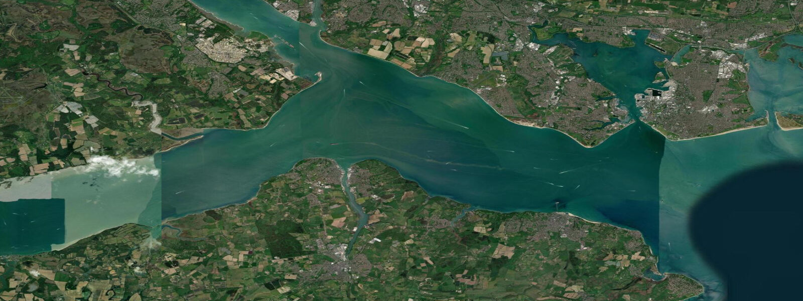
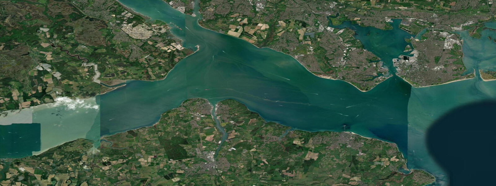
Cowes sits at the mouth of the River Medina on the northwest tip of the Isle of Wight, where the river meets the western Solent. It is the world capital of yacht racing in the sense that the sport's international governing frameworks, its most enduring events, and its professional circuit all trace roots to this small town. The Royal Yacht Squadron was founded here in 1815; Cowes Week, run every August since 1826, is the largest sailing regatta in the world by entry numbers, with around 8,000 competitors on 1,000 boats across eight days.
The tidal regime at Cowes is semidiurnal with a spring range of approximately 4.0 m. The Medina narrows sharply at the town, and the tidal flow through the narrows is fast enough — 2–3 knots on spring ebbs — that the chain ferry connecting East and West Cowes operates on a fixed cable rather than free navigation. Without the cable, the ferry would be swept downstream on the ebb. This is a useful practical indicator of the current strength for anyone planning to cross the Medina by dinghy or kayak. Cross on the slack or near-slack; attempting to paddle against a spring ebb in the narrows is a hard workout with uncertain outcome.
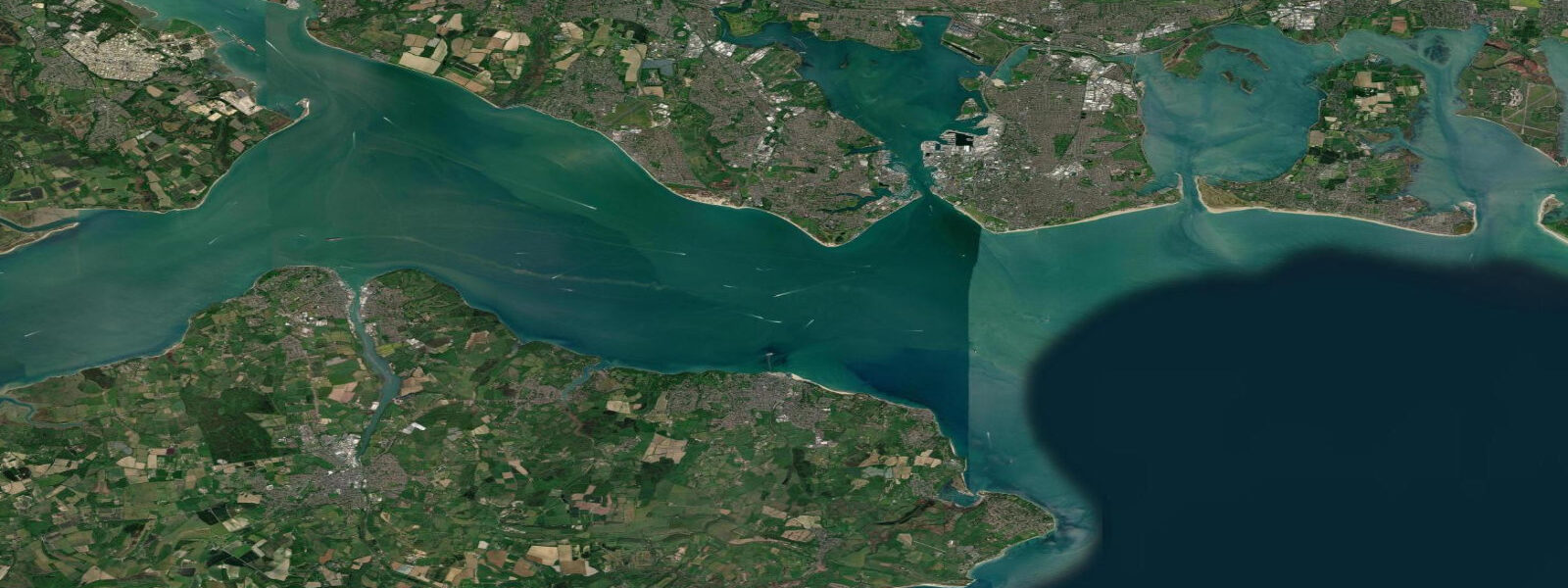
West Cowes is the sailing town: chandlers, sailmakers, yacht brokers, and racing-oriented cafes and pubs line the High Street and the waterfront. The Royal Yacht Squadron castle occupies the headland at the harbour entrance — the cannon on the castle lawn is fired at race starts during Cowes Week. East Cowes, connected by the chain ferry, is the industrial side: GKN Aerospace has a major facility here, and a ferry terminal serves vehicle ferries from Southampton. The two halves of the town are physically separated by the Medina and functionally distinct in character.
For sailors visiting Cowes, the holding ground in the Roads (the anchorage outside the harbour entrance) is good on the flood but the spring ebb running south at 2–3 knots through the western Solent requires adequate scope. Boats waiting to enter the marina or the river should time their approach for the flood — entering on the ebb against the narrows flow wastes fuel and increases risk in the commercial ferry traffic. The main visitor marina is at East Cowes Marina; the Cowes Yacht Haven on the West Cowes waterfront is the premium option with the best access to the town.
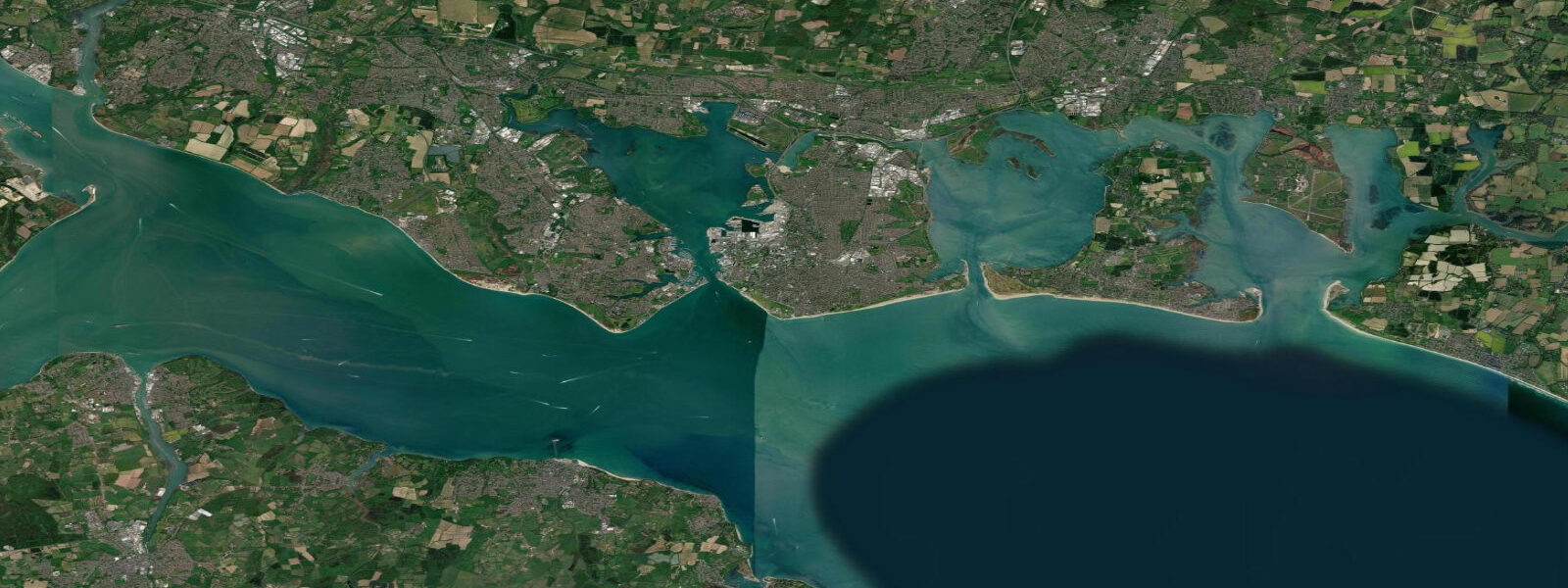
The tidal current in the western Solent off Cowes is a significant navigational variable. The east-going flood begins roughly 5 hours before high water at Portsmouth and the west-going ebb begins about 1 hour after Portsmouth HW. The timing is offset from Cowes HW by this convention: local HW at Cowes runs approximately 10–15 minutes behind Portsmouth, but the current turns are what matter for passage planning. Yachts rounding the west end of the island (the Needles) need to account for the tidal gate — the spring stream off the Needles runs 3–4 knots and the overfalls in wind-against-tide are significant.
Shoreside, the town beach at Cowes — a modest strip of shingle and sand on the east side of the harbour entrance — is popular in summer for swimming and watching the racing. At high water on springs the beach narrows to a few metres; at low water it extends 40–50 m. The water quality in the western Solent at Cowes is consistently good. For photographers, the view from the East Cowes sea wall looking west across the Medina entrance toward the RYS castle — with the racing fleet in the background — is the defining Cowes Week composition.
All tide predictions for Cowes come from the Open-Meteo Marine gridded model. Timing accuracy is ±45 minutes; height accuracy is ±0.3 m above Chart Datum.
Tide questions about Cowes
Quick answers to the most common questions about tide times, range, and water access at Cowes.
What is the tidal range at Cowes and how does it affect the chain ferry?
Spring tidal range at Cowes is approximately 4.0 m. The Medina narrows at the town produce tidal flows of 2–3 knots on spring ebbs — fast enough that the chain ferry connecting East and West Cowes operates on a fixed cable. Without it, the ferry would be pushed downstream. Kayakers and dinghy sailors crossing the Medina should time the transit for slack water, approximately 20–30 minutes around high and low water, to avoid fighting the spring current in the narrows.
When is Cowes Week and what does the tidal pattern mean for racing?
Cowes Week runs during the first full week of August. The western Solent tidal stream runs east on the flood and west on the ebb, at up to 2 knots on spring tides off Cowes. Race courses are set to take account of the tidal stream, and tactical use of the current — particularly the differential between inshore and offshore stream — is a defining feature of Solent racing. Neap tides during the week reduce stream effect and tend to favour boat-speed over tactical positioning. Around 8,000 competitors race across multiple IRC and one-design fleets.
Where can visiting yachts berth at Cowes?
East Cowes Marina has the largest visitor berth capacity with good fuel access and shore facilities. Cowes Yacht Haven on the West Cowes waterfront is the most central option for the town and is the main base during Cowes Week — pre-booking is essential for the regatta week. The anchorage in Cowes Roads (outside the harbour) is an option for boats on good ground tackle; spring ebb currents of 2–3 knots mean adequate scope is required. Entry to the Medina is recommended on the flood. The chain ferry crossing lane must be kept clear — anchoring or drifting in the ferry lane is prohibited.
Is the swimming beach at Cowes good for families?
The beach on the east side of the harbour entrance is a modest shingle-and-sand strip that works well for swimming and spectating. At high water on springs the beach narrows to a few metres; at low water it extends 40–50 m. The water in the western Solent at Cowes is consistently clean. The beach is best at low-to-mid tide when the sand is exposed. Summer water temperatures reach 17–19 °C. The racing fleet departing the harbour on race mornings is visible from the beach — spectating the Cowes Week start is one of the best free views in sailing.
How do I plan a passage around the Needles from Cowes?
The Needles Channel, 12 km west of Cowes, has spring streams of 3–4 knots with significant overfalls in wind-against-tide conditions. The standard approach is to leave Cowes approximately 4 hours before local high water, riding the west-going ebb to the Needles and arriving at slack water. In westerly winds above Force 4, the Needles Channel is uncomfortable even at slack — consider the North Channel (Hurst Narrows) as an alternative, though it also has strong streams. Give Bridge Ledge buoy a wide berth on the south side; shoal ground extends further south than it looks on first encounter.
8-day tide table — Cowes
Heights relative to MSL. Predictions: Open-Meteo Marine (MeteoFrance SMOC, 0.08° grid) — heights relative to MSL (not chart datum / LAT). Model-derived.
| Day | Type | Time | Height |
|---|---|---|---|
| Sat 27 Jun | High | 01:00 | -0.7m / -2.4ft |
| Low | 02:46 | -1.0m / -3.4ft | |
| High | 10:24 | 0.2m / 0.7ft | |
| Low | 15:00 | -1.0m / -3.3ft | |
| High | 22:38 | 0.3m / 0.8ft | |
| Sun 28 Jun | Low | 03:21 | -1.1m / -3.7ft |
| High | 11:01 | 0.3m / 1.0ft | |
| Low | 15:33 | -1.0m / -3.4ft | |
| High | 22:52 | 0.2m / 0.5ft | |
| Mon 29 Jun | Low | 03:54 | -1.3m / -4.3ft |
| High | 11:42 | 0.3m / 0.9ft | |
| Low | 16:09 | -1.2m / -3.9ft | |
| High | 23:40 | 0.3m / 0.9ft | |
| Tue 30 Jun | Low | 16:48 | -1.2m / -4.1ft |
| High | 23:52 | 0.3m / 0.8ft | |
| Wed 01 Jul | Low | 05:06 | -1.4m / -4.7ft |
| High | 12:36 | 0.3m / 0.9ft | |
| Low | 17:18 | -1.3m / -4.2ft | |
| Thu 02 Jul | High | 00:24 | 0.3m / 1.1ft |
| Low | 05:44 | -1.5m / -4.8ft | |
| High | 13:06 | 0.3m / 0.9ft | |
| Low | 17:56 | -1.3m / -4.2ft | |
| Fri 03 Jul | High | 00:54 | 0.3m / 1.1ft |
| Low | 06:17 | -1.6m / -5.1ft | |
| High | 13:45 | 0.4m / 1.2ft | |
| Low | 18:35 | -1.2m / -4.0ft | |
| Sat 04 Jul | High | 00:00 | 0.0m / 0.0ft |