Mersea Island tide times
Mersea Island tide forecast — heights relative to MSL.
Today's tide times for Mersea Island
Tide times at Mersea Island on Saturday, 27 June 2026: first high tide at 01:00, first low tide at 03:54, second high tide at 10:40, second low tide at 16:16, third high tide at 23:00. Sunrise 04:38, sunset 21:19.
Tide chart for Mersea Island
24-hour cosine-interpolated curve around the present moment. Heights relative to MSL. Predictions: Predictions: Open-Meteo Marine (MeteoFrance SMOC, 0.08° grid).
Sun, moon and conditions on Sat 27 Jun
Snapshot at build time — refreshes daily. Sea state from Open-Meteo Marine.
Highs and lows next 7 days
Every predicted high and low for the next week, with the daily tidal coefficient (0–120; higher = bigger swing, > 95 means stronger currents).
Other spots nearby
The three closest curated TideTurtle locations to Mersea Island, measured by great-circle distance.
Today's solunar windows
Solunar tradition: major periods are the ≈3h windows around moon transit and opposition; minor are ≈2h around moonrise and moonset. Pair with the local tide stage and wind for the best read.
Cycle dates near Mersea Island
Next spring tide on Fri 03 Jul (range 3.9m / 12.7ft). Last neap on Sat 27 Jun.
Spring tides cluster around new and full moons (biggest swings). Neap tides land on quarter moons (smallest swings). See the spring tide and neap tide glossary entries for the why.
About tides at Mersea Island
A short guide to the coastline at Mersea Island — geography, sea state, and what the tide is actually doing under your feet.
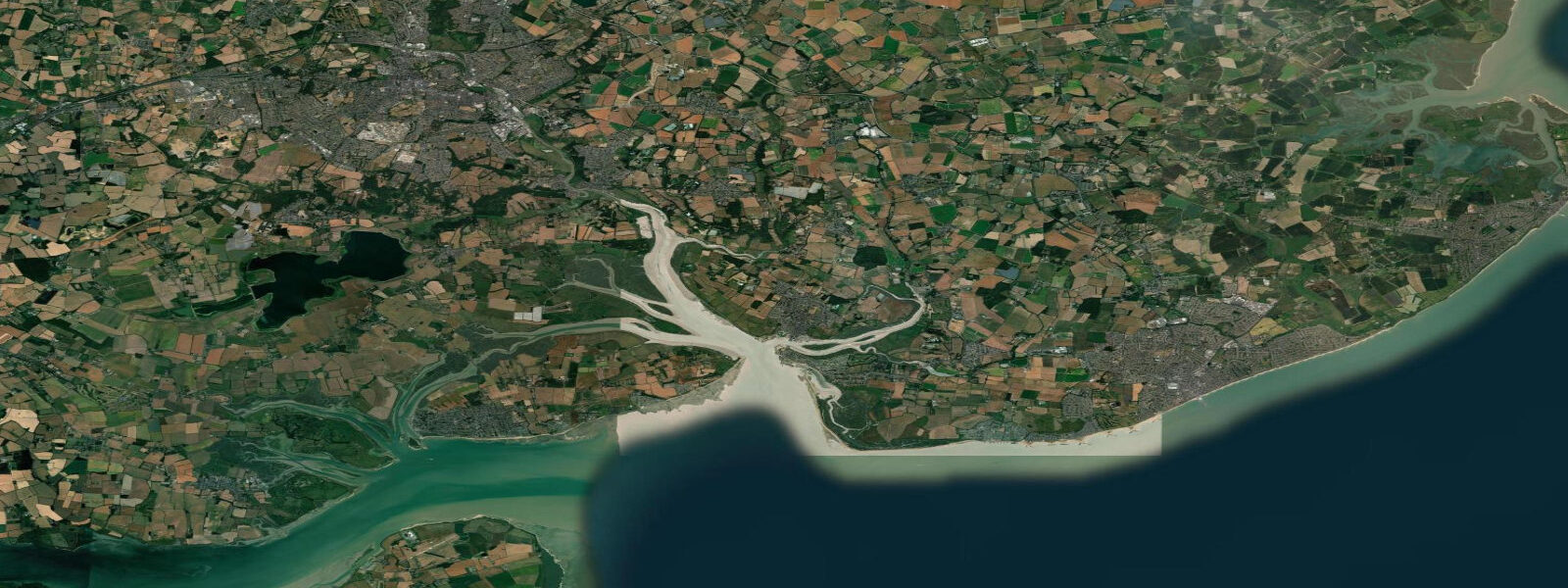
Mersea Island is a tidal island on the Colne and Blackwater estuaries 10 km south of Colchester, connected to the mainland by a single causeway called The Strood. At every high spring tide, The Strood floods for approximately two hours either side of high water — the island is cut off, and the only way on or off is to wait. This is not folklore; it happens on every spring tide cycle, and local residents plan their day around it with the same matter-of-fact precision a sailor brings to departure times. The spring high water here reaches approximately 5.0 m above Chart Datum, and The Strood sits at a height that makes submersion routine on anything above mid-tide on springs.
Mersea Island is best known for oysters. The native flat oyster (Ostrea edulis) has been cultivated in the creeks and channels around the island for at least 2,000 years — there is Roman evidence of oyster consumption here. The West Mersea oyster fishery operates the beds in the Pyefleet Channel and the Mersea Quarters, working on the flood tide when the boats can reach the beds. The season for native oysters is the traditional R-months (September through April); Pacific rock oysters are available year-round from the same beds. The Company Shed, a no-frills oyster shack metres from the water at West Mersea, has a national reputation: BYO bread and butter, order from the counter, eat at communal tables.
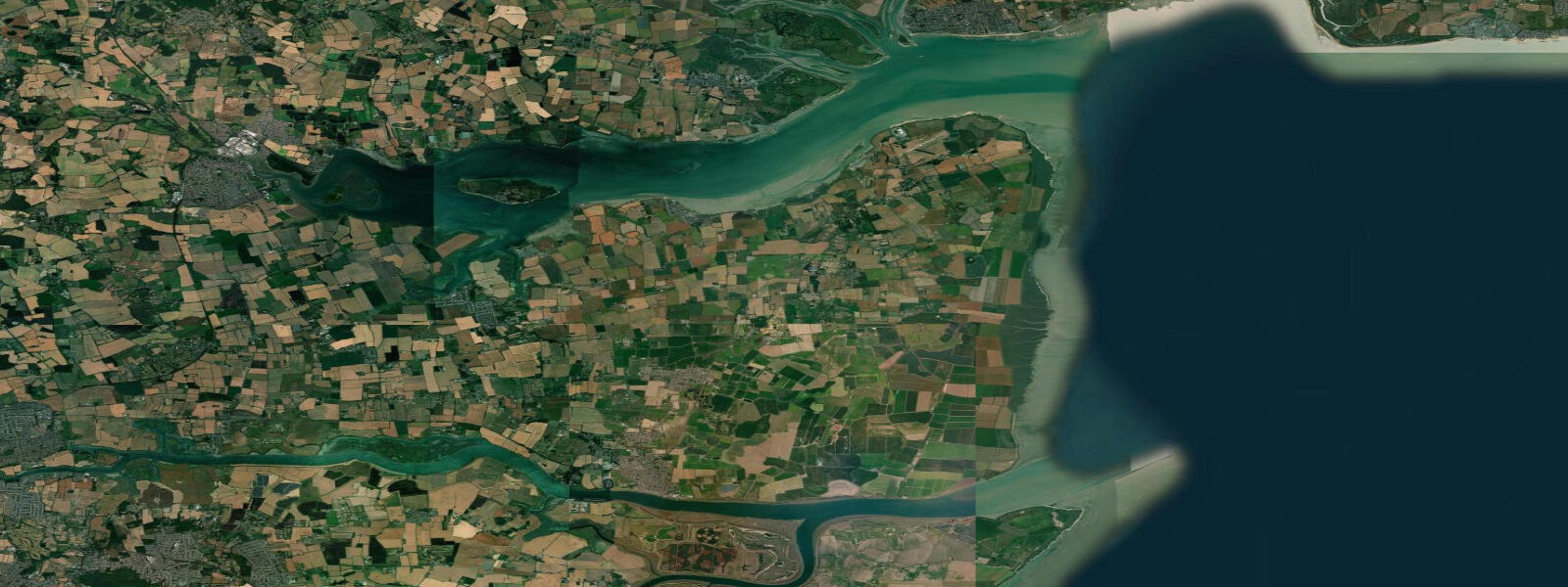
The sailing and dinghy racing from Mersea is among the most active club racing scenes in Essex. The Mersea Island Sailing Club and the West Mersea Yacht Club both operate from the foreshore at West Mersea, launching on the flood and timing returns for the last of the ebb before the creek shallows. The channels between the island and the mainland — the Pyefleet Channel to the north, the Ray to the south — have enough water for racing on the upper half of the tide and dry completely on spring lows. Local sailors know the channel marks and the sandbanks by name; visitors need current chart data and should ask for local advice before attempting the approaches for the first time.
West Mersea beach, on the island's south-facing foreshore, is a modest strip of sand and shingle that widens at low water. At spring low water the beach extends to expose flat sands suitable for launching paddleboards and small dinghies. The water temperature in the Colne estuary reaches 18–20 °C in July and August, warmer than open-sea temperatures at the same latitude because the shallow water heats rapidly on summer neap tides. Paddleboarding on the flood tide up the Pyefleet Channel — with the current, past the oyster beds — is a quiet and productive way to see the estuary's wading birds and common seals, which haul out on the sandbanks in the outer Colne.
For photographers, the light on the Mersea foreshore at dusk — the oyster smacks moored in the creek, the sea wall in the background, the sky reflected in the estuary mud — is a classic Essex estuary composition. The best access is from the public hard at West Mersea at the bottom of Coast Road. Low spring tide, calm evening, clear sky: the mudflat reflects the colours that the upper beach conceals under water for most of the day.
All tide predictions for Mersea Island come from the Open-Meteo Marine gridded model. Timing accuracy is ±45 minutes; height accuracy is ±0.3 m above Chart Datum.
Tide questions about Mersea Island
Quick answers to the most common questions about tide times, range, and water access at Mersea Island.
When does The Strood causeway flood and cut off Mersea Island?
The Strood floods for approximately two hours either side of high water on spring tides — roughly a four-hour window per tidal cycle when the island is inaccessible by road. On neap tides the causeway may not flood at all, or only briefly at the peak. The crossing is possible when the water depth is under approximately 30 cm; beyond that, standard vehicles risk stalling. Check the Mersea Island tide times on this page: The Strood floods when the predicted high water is 4.8 m or more above Chart Datum. Local residents track the tide daily and drive accordingly.
Where do I buy oysters at Mersea Island?
The Company Shed at West Mersea is the most well-known outlet — a no-frills shed on the foreshore where you buy oysters, dressed crab, and smoked fish over the counter and eat at communal tables. BYO bread, butter, and wine. It is cash and card; arrive early at weekends in summer as queues form by 11:00. The native flat oyster season is September through April (the R-months); Pacific rock oysters are available year-round. Several other seafood stalls operate on the foreshore in season.
Is Mersea Island good for sailing and dinghy racing?
Mersea has two active sailing clubs — Mersea Island Sailing Club and West Mersea Yacht Club — with regular racing programmes in the Colne estuary from spring through autumn. The channels dry on spring lows so racing is timed around the upper half of the tide. Visiting sailors should obtain current chart data for the approaches (channels shift seasonally) and ask the harbourmaster for local guidance. The Pyefleet Channel to the north of the island is navigable for deeper-draught yachts on the flood; the southern approaches over the Ray require local knowledge.
Can I see seals near Mersea Island?
Common seals (Phoca vitulina) haul out on the sandbanks in the outer Colne estuary, visible from a paddleboard or kayak on the flood tide. The haul-out sites are on the sandbanks east of the island, accessible by paddleboard in 30–45 minutes from West Mersea beach. Approach slowly and stay at least 50 metres off to avoid disturbing the colony. Grey seals also visit the estuary in winter. Both species are present year-round; the common seal pupping season (June–July) is when disturbance is most harmful.
What is the best time of year to visit Mersea Island for the oysters and the estuary?
September through November hits the sweet spot: native oyster season opens in September, the summer crowds on West Mersea beach have thinned, the light on the estuary mudflats is at its best in the lower autumn sun, and wading bird numbers on the Colne are building through autumn passage. October and November produce the largest native oysters of the season. Summer (July–August) is best for swimming temperatures and dinghy sailing but the foreshore and Company Shed queues are at their worst.
8-day tide table — Mersea Island
Heights relative to MSL. Predictions: Open-Meteo Marine (MeteoFrance SMOC, 0.08° grid) — heights relative to MSL (not chart datum / LAT). Model-derived.
| Day | Type | Time | Height |
|---|---|---|---|
| Sat 27 Jun | High | 01:00 | -0.2m / -0.6ft |
| Low | 03:54 | -1.8m / -5.8ft | |
| High | 10:40 | 1.1m / 3.8ft | |
| Low | 16:16 | -1.9m / -6.2ft | |
| High | 23:00 | 1.2m / 3.9ft | |
| Sun 28 Jun | Low | 04:38 | -1.7m / -5.6ft |
| High | 11:23 | 1.4m / 4.5ft | |
| Low | 17:12 | -1.9m / -6.2ft | |
| High | 23:44 | 1.2m / 4.1ft | |
| Mon 29 Jun | Low | 05:27 | -1.7m / -5.7ft |
| High | 12:03 | 1.4m / 4.7ft | |
| Low | 17:56 | -1.8m / -5.8ft | |
| Tue 30 Jun | High | 00:21 | 1.4m / 4.6ft |
| Low | 06:18 | -1.8m / -5.9ft | |
| High | 12:36 | 1.3m / 4.3ft | |
| Low | 18:39 | -2.1m / -6.8ft | |
| Wed 01 Jul | High | 01:03 | 1.5m / 4.8ft |
| Low | 07:01 | -1.8m / -5.8ft | |
| High | 13:13 | 1.5m / 4.8ft | |
| Low | 19:27 | -2.1m / -7.0ft | |
| Thu 02 Jul | High | 01:38 | 1.3m / 4.3ft |
| Low | 07:41 | -1.8m / -5.7ft | |
| High | 13:50 | 1.5m / 5.0ft | |
| Low | 20:08 | -2.1m / -6.9ft | |
| Fri 03 Jul | High | 02:14 | 1.4m / 4.6ft |
| Low | 08:21 | -1.6m / -5.1ft | |
| High | 14:19 | 1.6m / 5.2ft | |
| Low | 20:52 | -2.3m / -7.5ft | |
| Sat 04 Jul | High | 00:00 | -0.5m / -1.6ft |