West Mersea, Essex tide times
West Mersea, Essex tide forecast — heights relative to MSL.
Today's tide times for West Mersea, Essex
Tide times at West Mersea, Essex on Saturday, 4 July 2026: first low tide at 01:00, first high tide at 02:52, second low tide at 08:57, second high tide at 14:58, third low tide at 21:33. Sunrise 04:43, sunset 21:17.
Tide chart for West Mersea, Essex
24-hour cosine-interpolated curve around the present moment. Heights relative to MSL. Predictions: Predictions: Open-Meteo Marine (MeteoFrance SMOC, 0.08° grid).
Sun, moon and conditions on Sat 04 Jul
Snapshot at build time — refreshes daily. Sea state from Open-Meteo Marine.
Highs and lows next 7 days
Every predicted high and low for the next week, with the daily tidal coefficient (0–120; higher = bigger swing, > 95 means stronger currents).
Other spots nearby
The three closest curated TideTurtle locations to West Mersea, Essex, measured by great-circle distance.
Today's solunar windows
Solunar tradition: major periods are the ≈3h windows around moon transit and opposition; minor are ≈2h around moonrise and moonset. Pair with the local tide stage and wind for the best read.
Cycle dates near West Mersea, Essex
Last spring tide on Sat 04 Jul (range 3.7m / 12.1ft). Next neap on Thu 09 Jul.
Spring tides cluster around new and full moons (biggest swings). Neap tides land on quarter moons (smallest swings). See the spring tide and neap tide glossary entries for the why.
About tides at West Mersea, Essex
A short guide to the coastline at West Mersea, Essex — geography, sea state, and what the tide is actually doing under your feet.
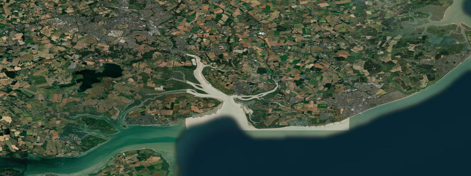
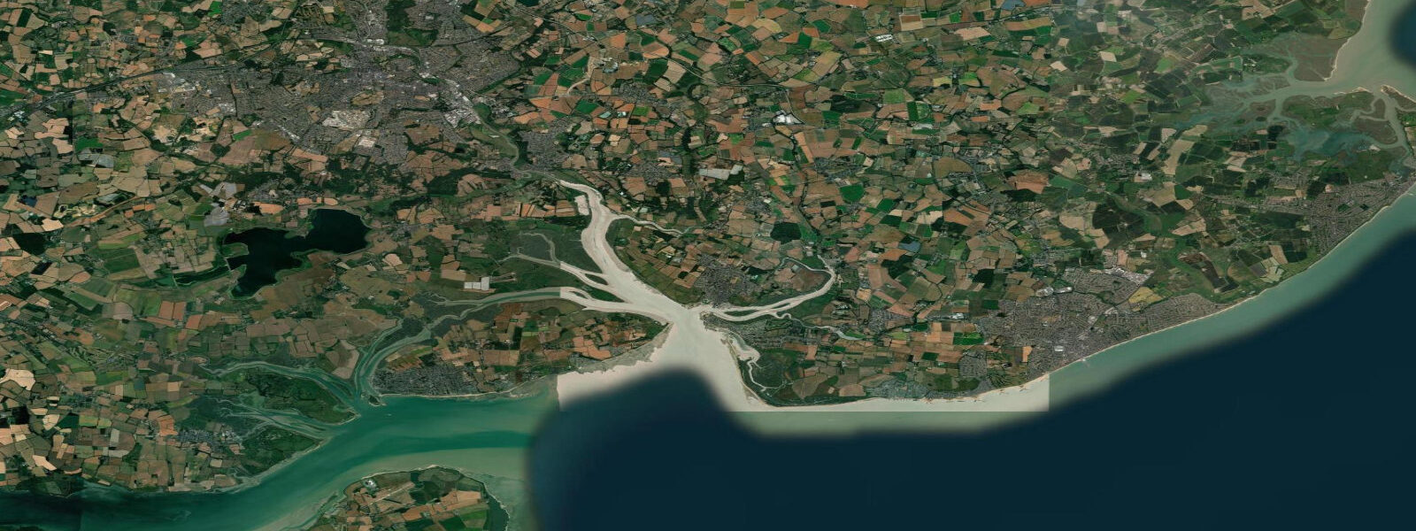
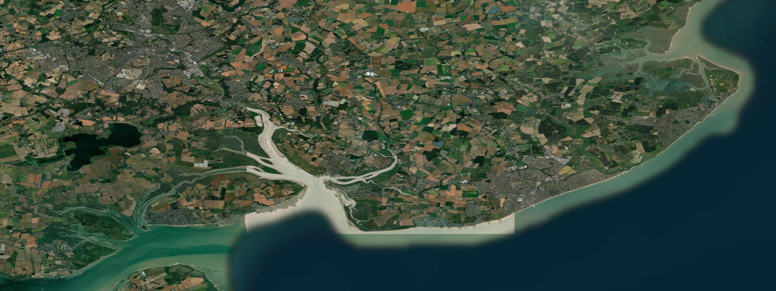
West Mersea is the main settlement on Mersea Island, a tidal island in the Blackwater Estuary connected to the Essex mainland by the Strood — a tidal causeway that floods on roughly half of all high tides. When the Strood covers, the island is cut off. The causeway floods for approximately 2–3 hours around high water at springs, leaving a window of passage either side that West Mersea residents have navigated since Roman times. The Romans had a significant presence here — a Roman burial mound (the Mersea Barrow, first century CE) sits a few hundred metres from the causeway, and the island produced some of the finest oysters consumed at Roman Camulodunum (Colchester).
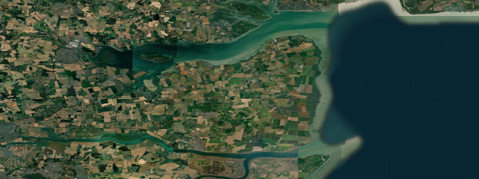
The tidal range at West Mersea is substantial: mean springs reach approximately 5.2 m, with high water standing well above the marsh level and the ebb exposing extensive mudflats across the Blackwater and Pyefleet channels to the east and north. The tide runs strongly through the channels — the main Blackwater channel carries 2–3 knots at springs and the ebb can be felt for several hundred metres off the island's east end where the Pyefleet channel meets the Colne Estuary to the northeast.
Mersea Island's identity is built on oysters. The West Mersea oyster industry is continuous from at least the Roman occupation. The Mersea Island Oyster Fishery still operates from the Hard at the bottom of the town, selling natives (Ostrea edulis) and the more productive Pacific oyster (Crassostrea gigas) that now dominates most Essex beds. The native oyster season runs September to April (eat in months with an 'r' — the rule predates refrigeration but still holds for quality). The Company Shed on the waterfront is probably the most celebrated no-frills seafood outlet in Essex — a corrugated iron building where you bring your own bread and the oysters arrive still dripping from the dredge.
For sailors and small-boat handlers, the Blackwater is one of the most established East Coast sailing areas in England. West Mersea Yacht Club, founded in 1899, sits on the waterfront and the mooring field off the Hard is substantial. The Blackwater is navigable on the tide throughout its length — the tidal stream dictates everything. Arriving against a 2-knot spring ebb in a light wind is slow; planning the passage to run the ebb down from Maldon, or catch the flood back, is the expected discipline on this river.
Bird life on the mudflats exposed at low water is exceptional. The Blackwater Estuary is designated SSSI and supports internationally significant numbers of dark-bellied Brent geese (arriving in October from Siberia), dunlin, knot, and grey plover. At high water the waders are pushed off the flats onto the saltmarsh fringe and the geese move to grazing fields on Mersea and across the estuary. The walk around the island's seawall (about 12 km total circumference) is the standard birdwatching route, best timed to start about an hour before high water so the waders are concentrated on the marsh edge as you reach the east end.
The Strood causeway crossing requires knowing the tide. At high water springs, which in summer typically falls between 1200 and 1800 BST depending on the neap-spring cycle, the Strood floods to 0.5–1 m depth. Check the Mersea Island tide table before committing to a visit — the island has a dedicated webcam pointed at the Strood that is free to view. Wind-driven surge can add 0.3–0.5 m above the predicted level, so allow 1.5 hours margin either side of predicted high water.
Tide predictions on this site use Open-Meteo Marine with typical accuracy of ±45 minutes on timing and ±0.2–0.3 m on height. For the Strood crossing, always use a local source for final timing decisions.
Tide questions about West Mersea, Essex
Quick answers to the most common questions about tide times, range, and water access at West Mersea, Essex.
When does the Strood causeway flood?
The Strood floods on most spring tides and some neap tides, typically for 2–3 hours around high water. At mean spring high water (approximately 5.2 m above chart datum) the road covers to 0.5–1 m depth. At neaps the Strood often remains passable throughout the tidal cycle. Check the tide prediction for Mersea Island before travelling — the island website has a dedicated tide page and a webcam pointed at the causeway. Allow at least 1.5 hours either side of predicted high water as a safety margin, since wind surge can raise levels 0.3–0.5 m above the predicted figure.
Where can I buy oysters at West Mersea?
The Company Shed on the waterfront is the primary destination — a no-frills corrugated iron shed selling fresh oysters, crab, lobster, and smoked fish to eat on site. Bring your own bread and butter; seating is communal benches. It opens Tuesday to Sunday; closed Monday. The West Mersea Oyster Bar next door operates as a more conventional sit-down restaurant. The Mersea Island Oyster Fishery sells direct from the Hard on certain mornings — ask at the waterfront. Native oyster season runs September to April; Pacific oysters are available year-round. Prices are significantly lower than London fishmongers for the equivalent quality.
What is the tidal range at West Mersea?
Mean spring range at West Mersea is approximately 5.2 m, one of the larger ranges on the Essex coast. Tides are semidiurnal — two highs and two lows per day. The tidal stream through the Blackwater Estuary reaches 2–3 knots at springs in the main channel off West Mersea Hard. Predictions on this site use Open-Meteo Marine, with typical accuracy of ±45 minutes on timing and ±0.2–0.3 m on height. For Strood causeway timing, always verify with a local source — surge can add significantly to the predicted level and the causeway can be impassable earlier than the tide table suggests.
Is West Mersea good for sailing?
West Mersea is one of the busiest small-boat sailing centres on the East Coast of England. West Mersea Yacht Club (founded 1899) hosts active racing and cruising programmes from April to October. The Blackwater is navigable on the tide as far as Maldon; Brightlingsea and the Colne are accessible on a single tide from Mersea. Tidal planning is essential — the Blackwater ebb runs at 2 knots in the main channel and significantly affects passage timing in light airs. Anchorage off the Hard is reasonable shelter in north to east winds; southwest wind fetches the full Blackwater length and makes the anchorage uncomfortable. The pontoon at the Hard provides alongside access for visitors.
What birds can I see on the Mersea Island seawall walk?
The Blackwater mudflats exposed at low water around Mersea hold internationally significant concentrations of wading birds from October to March. Dark-bellied Brent geese arrive from Siberia in October and graze the saltmarsh and arable fields through winter — counts of 1,000–2,000 birds are normal on the east end of the island. Knot, dunlin, and grey plover work the flats at low water and pack into the saltmarsh fringe at high tide. Starting the 12 km seawall circuit about an hour before high water concentrates the waders on the narrow marsh edge and gives closer views. Little egrets are resident year-round in the creek channels.
8-day tide table — West Mersea, Essex
Heights relative to MSL. Predictions: Open-Meteo Marine (MeteoFrance SMOC, 0.08° grid) — heights relative to MSL (not chart datum / LAT). Model-derived.
| Day | Type | Time | Height |
|---|---|---|---|
| Sat 04 Jul | Low | 01:00 | 0.2m / 0.7ft |
| High | 02:52 | 1.2m / 3.9ft | |
| Low | 08:57 | -1.7m / -5.6ft | |
| High | 14:58 | 1.5m / 5.1ft | |
| Low | 21:33 | -2.2m / -7.1ft | |
| Sun 05 Jul | High | 15:35 | 1.4m / 4.5ft |
| Low | 22:11 | -2.2m / -7.4ft | |
| Mon 06 Jul | High | 04:10 | 1.2m / 4.1ft |
| Low | 10:31 | -1.5m / -5.0ft | |
| High | 16:09 | 1.4m / 4.6ft | |
| Low | 22:55 | -2.2m / -7.1ft | |
| Tue 07 Jul | High | 04:53 | 1.3m / 4.1ft |
| Low | 11:15 | -1.5m / -4.9ft | |
| High | 17:00 | 1.4m / 4.7ft | |
| Low | 23:49 | -2.1m / -7.0ft | |
| Wed 08 Jul | High | 05:46 | 1.1m / 3.6ft |
| Low | 12:06 | -1.7m / -5.6ft | |
| High | 17:59 | 1.2m / 3.9ft | |
| Thu 09 Jul | Low | 00:38 | -2.2m / -7.1ft |
| High | 06:47 | 1.1m / 3.7ft | |
| Low | 13:01 | -1.7m / -5.4ft | |
| High | 19:07 | 1.2m / 3.8ft | |
| Fri 10 Jul | Low | 01:37 | -2.0m / -6.7ft |
| High | 07:56 | 1.1m / 3.7ft | |
| Low | 14:02 | -1.6m / -5.2ft | |
| High | 20:20 | 1.1m / 3.7ft | |
| Sat 11 Jul | Low | 00:00 | -0.9m / -3.0ft |