Brightlingsea tide times
Brightlingsea tide forecast — heights relative to MSL.
Today's tide times for Brightlingsea
Tide times at Brightlingsea on Saturday, 27 June 2026: first high tide at 01:00, first low tide at 03:54, second high tide at 10:39, second low tide at 16:15, third high tide at 23:00. Sunrise 04:38, sunset 21:18.
Tide chart for Brightlingsea
24-hour cosine-interpolated curve around the present moment. Heights relative to MSL. Predictions: Predictions: Open-Meteo Marine (MeteoFrance SMOC, 0.08° grid).
Sun, moon and conditions on Sat 27 Jun
Snapshot at build time — refreshes daily. Sea state from Open-Meteo Marine.
Highs and lows next 7 days
Every predicted high and low for the next week, with the daily tidal coefficient (0–120; higher = bigger swing, > 95 means stronger currents).
Other spots nearby
The three closest curated TideTurtle locations to Brightlingsea, measured by great-circle distance.
Today's solunar windows
Solunar tradition: major periods are the ≈3h windows around moon transit and opposition; minor are ≈2h around moonrise and moonset. Pair with the local tide stage and wind for the best read.
Cycle dates near Brightlingsea
Next spring tide on Fri 03 Jul (range 3.8m / 12.6ft). Last neap on Sat 27 Jun.
Spring tides cluster around new and full moons (biggest swings). Neap tides land on quarter moons (smallest swings). See the spring tide and neap tide glossary entries for the why.
About tides at Brightlingsea
A short guide to the coastline at Brightlingsea — geography, sea state, and what the tide is actually doing under your feet.
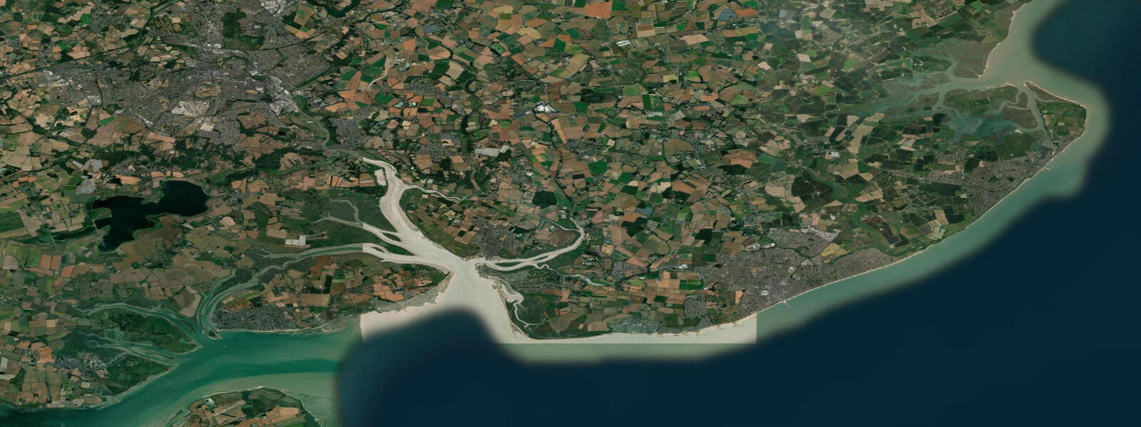
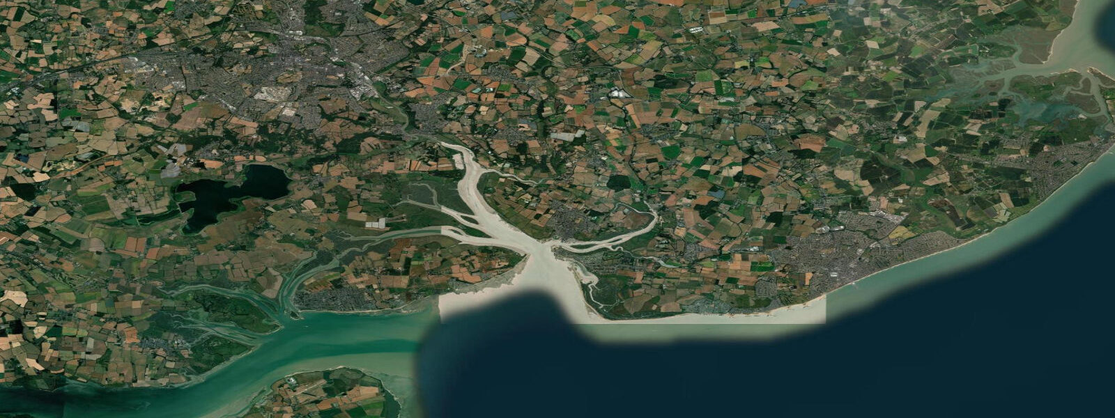
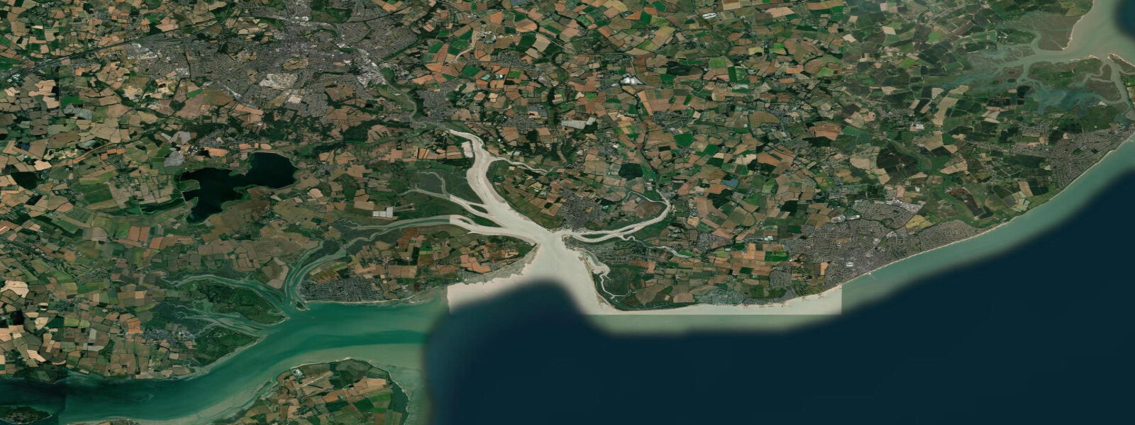
Brightlingsea occupies the western shore of the Colne estuary at the point where the river opens into the wider estuary and the offshore sandbanks begin. It is an ancient town — a member of the Cinque Ports confederation, the only such member outside Kent and Sussex — which hints at its historical significance as a centre of maritime trade, shipbuilding, and fishery. Today the working oyster fishery on the Colne continues that tradition, and the town's creek and hard are still occupied by fishing vessels alongside the leisure sailing fleet.
The spring tidal range at Brightlingsea is approximately 5.0 m. The creek that forms the harbour dries almost completely at low spring water; the boats working the oyster beds are flat-bottomed or twin-keeled craft capable of sitting upright on the mud. The timing of the work is tidal: the oyster boats leave the hard on the flood, work the beds in the middle of the tide when there is enough water over the grounds, and return on the last of the flood or the early ebb. The beds in the Colne are the source of both native flat oysters (September through April season) and Pacific rock oysters year-round.
The approach to Brightlingsea from seaward requires care. The Colne bar at the river entrance is a shifting sandbank that limits entry to approximately 1.2 m draught at low water springs; above half tide the bar is passable for craft drawing up to 2.0 m. The channel through the bar is marked by buoys that are repositioned seasonally as the bar shifts. Visiting yachts should consult the current chart (Admiralty 3741) and the harbour authority's pilotage notes before entry. Inside the bar the creek deepens and the sailing is straightforward; the Brightlingsea Sailing Club runs active racing in the Colne.
For shore anglers, the public hard at the bottom of Waterside provides bank access to the Colne channel. Bass work the flood tide through the channel from May through October; the technique is to cast upstream and work the lure back with the current. Flatfish — dab, flounder, and the occasional plaice — are present on the sandy bottom in the lower creek year-round. Mullet are abundant in the upper reaches of the creek in summer, best targeted at high water when they move up into the shallow water to feed on algae on the sea wall.
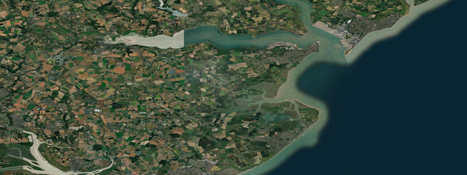
The Cindery Island nature reserve, accessible by small boat at mid to high tide, holds significant populations of little tern and ringed plover nesting on the shingle. Both species are schedule-1 protected; landing on or near the nesting areas is prohibited from April through August. The Essex Wildlife Trust manages the reserve; the island is best viewed from a kayak or paddleboard at a respectful distance. Common seals haul out on the outer sandbanks of the Colne estuary — the same sandbanks that restrict navigation.
Brightlingsea has a small beach in the town — the Bathing Beach on Promenade Way — that is sandy at low water and popular with families in summer. At high spring water the beach narrows considerably; at low water on neaps it extends 80–100 m seaward. The water quality in the inner estuary is generally good; this section of the Colne benefits from strong tidal flushing through the semidiurnal range. Paddleboarders launching from the beach on the flood can ride the current north toward the Pyefleet Channel and Mersea Island in around 90 minutes with minimal effort.
All tide predictions for Brightlingsea come from the Open-Meteo Marine gridded model. Timing accuracy is ±45 minutes; height accuracy is ±0.3 m above Chart Datum.
Tide questions about Brightlingsea
Quick answers to the most common questions about tide times, range, and water access at Brightlingsea.
What is the tidal range at Brightlingsea and how does it affect the harbour?
Spring tidal range at Brightlingsea is approximately 5.0 m. The creek that forms the harbour dries to mud at low spring water, so boats are designed to sit upright on the bottom — flat-bottomed or twin-keeled hulls. Visiting yachts with fin keels should plan arrival and departure for HW ±2 hours on springs. The Colne bar at the river entrance limits entry to about 1.2 m draught at low water springs; above half tide the bar is passable for vessels drawing up to 2.0 m. Consult current Admiralty chart 3741 and the harbour authority pilotage notes before entry.
How does the oyster fishery work at Brightlingsea?
The Colne estuary oyster beds are worked from flat-bottomed boats that leave the Brightlingsea hard on the flood tide. The boats work when there is sufficient water over the beds — roughly the upper half of the tidal range — and return on the last of the flood or early ebb. Native flat oysters are in season September through April; Pacific rock oysters are available year-round. The fishery has operated on these beds for at least 2,000 years; Brightlingsea's membership of the Cinque Ports reflects the town's historical importance as a fishery and trading port.
Is Brightlingsea good for sea fishing from the shore?
The public hard at Waterside provides bank access to the Colne channel — the main shore-fishing venue in Brightlingsea. Bass are the target from May through October on the flood, worked upstream with lures or live sandeel. Dab, flounder, and occasional plaice are caught year-round on the sandy bottom with lugworm or ragworm. Mullet are abundant in the upper creek in summer, best targeted at high water on bread-based surface bait. Kayak anglers launch from the hard and fish the outer channel for better access to the sandbank edges.
Are there wildlife-watching opportunities near Brightlingsea?
The Cindery Island nature reserve in the Colne holds breeding little tern and ringed plover (April–August); landing is prohibited during the nesting season but the reserve is rewarding from a kayak or paddleboard at respectful distance. Common seals haul out on the outer estuary sandbanks year-round and are best approached by paddleboard on the flood tide. The Colne estuary supports large wading bird numbers in winter — dunlin, oystercatcher, curlew, and black-tailed godwit work the mudflats from September through April.
What is Brightlingsea's connection to the Cinque Ports?
Brightlingsea is the only non-maritime-county member of the Cinque Ports confederation — unusual because all other members are in Kent or Sussex. Its membership reflects the town's historical role as a fishing and trading port supplying ships and men to the confederation from the medieval period onward. Brightlingsea was a 'limb' of Sandwich, one of the original five ports. The connection is ceremonial today, but the town's maritime character — working fishery, active sailing clubs, tidal creek harbour — remains continuous with that history.
8-day tide table — Brightlingsea
Heights relative to MSL. Predictions: Open-Meteo Marine (MeteoFrance SMOC, 0.08° grid) — heights relative to MSL (not chart datum / LAT). Model-derived.
| Day | Type | Time | Height |
|---|---|---|---|
| Sat 27 Jun | High | 01:00 | -0.2m / -0.6ft |
| Low | 03:54 | -1.8m / -5.8ft | |
| High | 10:39 | 1.1m / 3.7ft | |
| Low | 16:15 | -1.9m / -6.2ft | |
| High | 23:00 | 1.2m / 3.9ft | |
| Sun 28 Jun | Low | 04:39 | -1.7m / -5.6ft |
| High | 11:22 | 1.4m / 4.5ft | |
| Low | 17:12 | -1.9m / -6.2ft | |
| High | 23:44 | 1.2m / 4.1ft | |
| Mon 29 Jun | Low | 05:27 | -1.7m / -5.6ft |
| High | 12:03 | 1.4m / 4.7ft | |
| Low | 17:56 | -1.8m / -5.8ft | |
| Tue 30 Jun | High | 00:20 | 1.4m / 4.6ft |
| Low | 06:18 | -1.8m / -5.9ft | |
| High | 12:36 | 1.3m / 4.2ft | |
| Low | 18:39 | -2.1m / -6.7ft | |
| Wed 01 Jul | High | 01:02 | 1.5m / 4.8ft |
| Low | 07:01 | -1.8m / -5.8ft | |
| High | 13:13 | 1.4m / 4.8ft | |
| Low | 19:26 | -2.1m / -7.0ft | |
| Thu 02 Jul | High | 01:37 | 1.3m / 4.3ft |
| Low | 07:41 | -1.7m / -5.7ft | |
| High | 13:50 | 1.5m / 5.0ft | |
| Low | 20:07 | -2.1m / -6.9ft | |
| Fri 03 Jul | High | 02:14 | 1.4m / 4.6ft |
| Low | 08:19 | -1.5m / -5.1ft | |
| High | 14:18 | 1.6m / 5.1ft | |
| Low | 20:51 | -2.3m / -7.5ft | |
| Sat 04 Jul | High | 00:00 | -0.5m / -1.6ft |