
Lyme Regis tide times
Lyme Regis tide forecast — heights relative to MSL.
Today's tide times for Lyme Regis
Tide times at Lyme Regis on Friday, 19 June 2026: first high tide at 01:00, first low tide at 03:12, second high tide at 10:04, second low tide at 15:22, third high tide at 22:13. Sunrise 04:58, sunset 21:27.
Tide chart for Lyme Regis
24-hour cosine-interpolated curve around the present moment. Heights relative to MSL. Predictions: Predictions: Open-Meteo Marine (MeteoFrance SMOC, 0.08° grid).
Sun, moon and conditions on Fri 19 Jun
Snapshot at build time — refreshes daily. Sea state from Open-Meteo Marine.
Highs and lows next 7 days
Every predicted high and low for the next week, with the daily tidal coefficient (0–120; higher = bigger swing, > 95 means stronger currents).
Other spots nearby
The three closest curated TideTurtle locations to Lyme Regis, measured by great-circle distance.

Today's solunar windows
Solunar tradition: major periods are the ≈3h windows around moon transit and opposition; minor are ≈2h around moonrise and moonset. Pair with the local tide stage and wind for the best read.
Cycle dates near Lyme Regis
Last spring tide on Fri 19 Jun (range 3.2m / 10.6ft). Next neap on Thu 25 Jun.
Spring tides cluster around new and full moons (biggest swings). Neap tides land on quarter moons (smallest swings). See the spring tide and neap tide glossary entries for the why.
About tides at Lyme Regis
A short guide to the coastline at Lyme Regis — geography, sea state, and what the tide is actually doing under your feet.
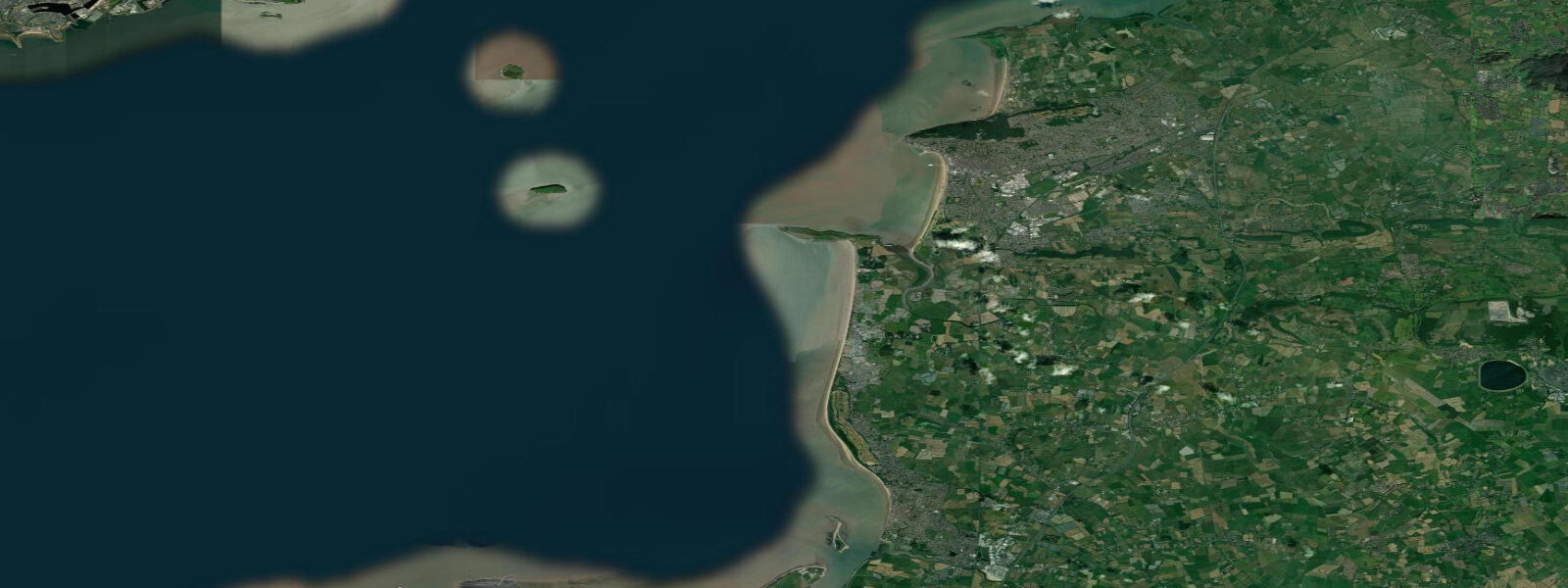
Lyme Regis is a small town on the western edge of Dorset, almost at the Devon border, and is the town most associated with fossil hunting on the Jurassic Coast. The fossil-bearing Blue Lias limestone and shale cliffs either side of the town produce ichthyosaur, plesiosaur, and ammonite specimens after every significant storm and high tide. The most productive time to search is within hours of a falling tide after a gale, when freshly eroded material has settled on the beach. Mean spring tidal range at Lyme Regis is around 3.8 metres; neaps drop to about 2.4 m.
The Cobb — Lyme's famous curving stone harbour wall, featuring in Jane Austen's Persuasion and John Fowles' The French Lieutenant's Woman — protects the main beach from westerly swells. The outer Cobb wall is a walking destination in itself; the steps at the seaward end (Granny's Teeth) were the filming location for the opening of the 1981 film. The Cobb is also a fishing pier and an angling spot — mackerel, wrasse, and bass are taken in season from the outer wall.
The beach at Lyme is a mix of shingle and sand, with sand becoming more prominent at low water where the beach widens in front of the town. Fossil hunters systematically work the foreshore from the Cobb east to Black Ven and Charmouth — the stretch of crumbling Blue Lias cliff that has yielded the most significant finds. Walking these cliffs is not permitted — the cliff material is actively unstable and falls without warning. Stay on the beach and work the foreshore below the high-tide mark.
Surf at Lyme is inconsistent and generally small — the town faces southwest and catches some swell from Atlantic storms, but the local coastline geometry doesn't concentrate swell. The main water sports activities are paddleboarding in settled summer conditions, coastal kayaking toward Charmouth and along the chalk/limestone cliffs, and open-water swimming from the beach inside the Cobb.
Scuba diving is possible from the outer Cobb and from small-boat charters to the reefs 2 to 5 kilometres offshore. The Lyme Bay Reefs are a Marine Protected Area with good counts of reef fish, pink sea fans, and, occasionally, spiny lobster. Diving on the MPA reefs requires observing restrictions on taking any species.
Tide predictions on this page come from Open-Meteo Marine, a gridded global ocean model, cross-referenced with UK Environment Agency gauge data. For the most accurate local predictions, consult the UK National Tide Gauge Network via CEFAS or the UKHO's EasyTide service.
Tide questions about Lyme Regis
Quick answers to the most common questions about tide times, range, and water access at Lyme Regis.
When is the best time to look for fossils at Lyme Regis?
After a storm, in the hour or two following low water — that's when freshly fallen material has settled on the foreshore and the receding tide has revealed the beach. The most productive zone runs from the Cobb east to Charmouth along the base of the Black Ven cliff. Never approach the cliff itself — it falls without warning. The Charmouth Heritage Coast Centre offers guided fossil walks and can identify finds. The best of the season runs November through March when gales regularly rework the beach.
What is The Cobb at Lyme Regis?
The Cobb is a medieval stone harbour wall, first recorded in the 14th century, that curves out from the main beach to create a sheltered harbour. It's a working structure — fishing boats still moor inside it — and a walking destination. The outer wall is about 1.5 metres wide at the top; the famous Granny's Teeth steps descend the seaward side. The Cobb has literary significance from Jane Austen's Persuasion and the 1981 film The French Lieutenant's Woman. It's walkable at any state of tide.
Is it safe to walk under the cliffs at Lyme Regis?
No — the cliffs at Black Ven, Charmouth, and throughout this section of the Jurassic Coast are among the most actively eroding in the UK. Falls occur without warning at any time of year, and significant rock falls happen multiple times each year. Stay on the beach well away from the cliff base. The Charmouth Heritage Coast Centre publishes a cliff fall risk guide and advises on safe fossil hunting zones. Even apparently stable sections can collapse.
What marine life is in Lyme Bay?
Lyme Bay has one of the richest reef ecosystems on the English Channel — its Marine Protected Area designation covers chalk and flint reef systems at 20 to 50 metres depth. Pink sea fans (Eunicella verrucosa), stalked jellyfish, spiny lobster, and high fish diversity (pollack, cod, wrasse, conger eel) are found on the deeper reefs. Charter dive boats operate from Lyme Regis and Weymouth to the main reef sites. The MPA prohibits bottom trawling, which has allowed the reef communities to recover significantly.
What is the tidal range at Lyme Regis?
Mean spring range at Lyme Regis is approximately 3.8 metres; neap range drops to around 2.4 m. The moderately large range means the foreshore exposure changes significantly through the tidal cycle — at low spring tide the beach in front of the town widens substantially. Low water is the optimal fossil-hunting window. The Cobb provides shelter from westerly swells; the beach inside the harbour is calm at most states of tide.
8-day tide table — Lyme Regis
Heights relative to MSL. Predictions: Open-Meteo Marine (MeteoFrance SMOC, 0.08° grid) — heights relative to MSL (not chart datum / LAT). Model-derived.
| Day | Type | Time | Height |
|---|---|---|---|
| Fri 19 Jun | High | 01:00 | -0.8m / -2.5ft |
| Low | 03:12 | -1.9m / -6.4ft | |
| High | 10:04 | 1.1m / 3.6ft | |
| Low | 15:22 | -1.7m / -5.5ft | |
| High | 22:13 | 1.3m / 4.2ft | |
| Sat 20 Jun | Low | 04:02 | -1.9m / -6.1ft |
| High | 10:45 | 0.8m / 2.6ft | |
| Low | 16:11 | -1.6m / -5.2ft | |
| High | 22:53 | 1.0m / 3.2ft | |
| Sun 21 Jun | Low | 04:47 | -1.8m / -5.9ft |
| High | 11:21 | 0.6m / 2.1ft | |
| Low | 17:04 | -1.5m / -5.0ft | |
| High | 23:34 | 0.8m / 2.7ft | |
| Mon 22 Jun | Low | 05:38 | -1.6m / -5.1ft |
| High | 12:02 | 0.5m / 1.5ft | |
| Low | 17:55 | -1.4m / -4.5ft | |
| Tue 23 Jun | High | 00:12 | 0.7m / 2.2ft |
| Low | 06:27 | -1.6m / -5.3ft | |
| High | 12:54 | 0.3m / 0.9ft | |
| Low | 18:51 | -1.4m / -4.6ft | |
| Wed 24 Jun | High | 01:03 | 0.4m / 1.2ft |
| Low | 07:16 | -1.5m / -5.0ft | |
| High | 13:48 | 0.3m / 1.1ft | |
| Low | 19:46 | -1.3m / -4.4ft | |
| Thu 25 Jun | High | 02:15 | 0.3m / 1.1ft |
| Low | 08:11 | -1.5m / -4.8ft | |
| Fri 26 Jun | High | 00:00 | -0.5m / -1.5ft |