Burnham-on-Sea tide times
Burnham-on-Sea tide forecast — heights relative to MSL.
Today's tide times for Burnham-on-Sea
Tide times at Burnham-on-Sea on Saturday, 27 June 2026: first low tide at 01:00, first high tide at 05:02, second low tide at 10:55, second high tide at 17:28, third low tide at 23:28. Sunrise 04:57, sunset 21:31.
Tide chart for Burnham-on-Sea
24-hour cosine-interpolated curve around the present moment. Heights relative to MSL. Predictions: Predictions: Open-Meteo Marine (MeteoFrance SMOC, 0.08° grid).
Sun, moon and conditions on Sat 27 Jun
Snapshot at build time — refreshes daily. Sea state from Open-Meteo Marine.
Highs and lows next 7 days
Every predicted high and low for the next week, with the daily tidal coefficient (0–120; higher = bigger swing, > 95 means stronger currents).
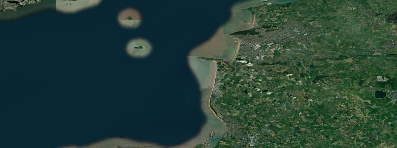
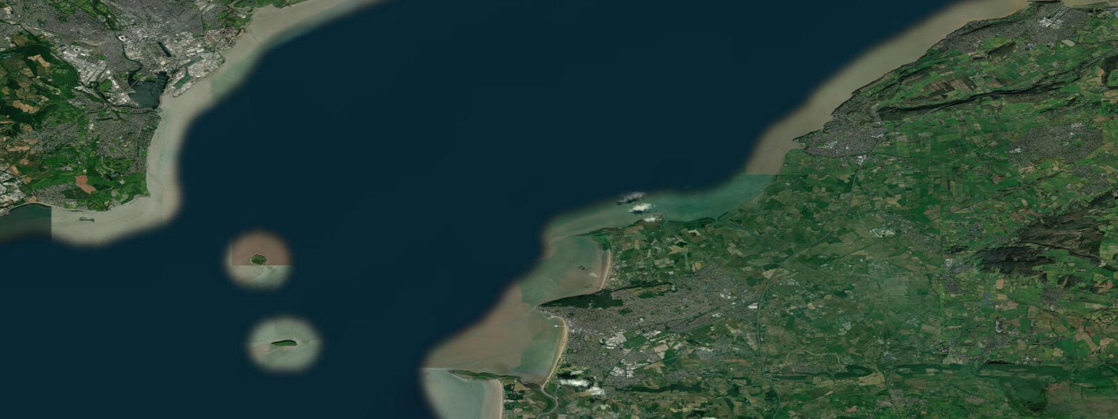
Other spots nearby
The three closest curated TideTurtle locations to Burnham-on-Sea, measured by great-circle distance.

Today's solunar windows
Solunar tradition: major periods are the ≈3h windows around moon transit and opposition; minor are ≈2h around moonrise and moonset. Pair with the local tide stage and wind for the best read.
Cycle dates near Burnham-on-Sea
Next spring tide on Fri 03 Jul (range 8.7m / 28.5ft). Last neap on Sat 27 Jun.
Spring tides cluster around new and full moons (biggest swings). Neap tides land on quarter moons (smallest swings). See the spring tide and neap tide glossary entries for the why.
About tides at Burnham-on-Sea
A short guide to the coastline at Burnham-on-Sea — geography, sea state, and what the tide is actually doing under your feet.
Burnham-on-Sea has one of the largest tidal ranges of any beach in the world. Spring range here is approximately 12.0 m — the figure is not a typo, and it is not a maximum-ever reading. It is the mean spring tidal range, recorded consistently at the mouth of the River Parrett where it meets the Bristol Channel. The mechanism is the same as all Bristol Channel sites: a natural funnel geometry that amplifies the Atlantic tidal wave as it travels east, and a resonant period that happens to match the semidiurnal tidal frequency closely. At Burnham the land is almost completely flat, so a 12 m vertical change in water level translates into a horizontal retreat of more than 2 km across the beach and sand flats.
At high water springs, Burnham-on-Sea beach is a narrow strip of sand backed by the famous low lighthouse (the lighthouse is built on stilts precisely because the beach floods this far). Within 3 hours, the sea has retreated far enough that the lighthouse stands surrounded by dry sand, and within 6 hours — at the following low water — the waterline is over 2 km away. The flats exposed between the town and the waterline are primarily fine, level sand in the middle section and saltier, silty ground near the River Parrett channel.
The flood tide across these flats is the feature that requires explicit safety management. The Bristol Channel tide does not creep in — it advances steadily across the gradient-free surface, and in the final quarter of the flood the rate of advance over the sand can reach 16 km/h in exceptional conditions, according to Somerset Council's coastal safety publications. Practically, this means a person standing at the waterline at low water has roughly 6 hours before the sea reaches their starting position. But a person who walks out to the waterline and waits 2 hours before starting to return is not safe — the tide is now a third of its cycle into the flood and moving faster than it was at low water. The rule at Burnham is: be moving back toward the town before the flood starts, not after you see the water coming.
The River Parrett enters the Bristol Channel just south of Burnham-on-Sea, and the spring flood produces a tidal bore on the river. The Parrett bore is not the Severn Bore's drama — it is typically 0.3 to 0.6 m high on the largest springs — but it is clearly visible from the riverbank at Burnham and from the path toward Combwich. The bore arrives on the flood tide approximately 30 to 45 minutes after Burnham high water in reverse — it travels upstream, so you need to be positioned upstream of the river mouth before the flood peaks. Check the bore timetable published by the Parrett Bore Society.
Berrow Dunes, 2 km north of Burnham, is a SSSI sand dune and beach system immediately north of the town. The dunes stabilise the northern approach to the beach; the foreshore there is very similar in tidal character to Burnham itself — same 12 m spring range, same retreat distance. The dunes are protected habitat and should not be climbed or crossed at marked points.
For anglers, the bass fishing on the Burnham flood tide is serious. Bass follow the flood edge across the sand flat from the first of the tide; the fish are often visible as bow waves and splashes at the waterline as they chase whitebait and sandeel. Lure fishing from the waterline on the first two hours of the flood is productive. The River Parrett channel holds mullet from April through October. Eels are a traditional Burnham catch from the Parrett in summer.
The SSSI designation at Burnham-on-Sea and Berrow covers internationally important estuarine bird habitat: dunlin, knot, grey plover, and black-tailed godwit in winter; ringed plover nesting in the dunes in summer. Low water at a morning spring tide from October through March brings the highest wader concentrations onto the flats.
Tidal predictions here use the Open-Meteo Marine gridded model (±45 minutes on timing, ±0.3 m on height). Not for navigation.
Tide questions about Burnham-on-Sea
Quick answers to the most common questions about tide times, range, and water access at Burnham-on-Sea.
Why is the tidal range at Burnham-on-Sea so large?
Burnham-on-Sea's 12 m spring tidal range results from the Bristol Channel's geometry. The channel is shaped like a funnel — wide at the Atlantic entrance, narrowing sharply toward the east. As the tidal wave travels east, the funnel compresses it, forcing the energy upward into a greater rise and fall. The resonant period of the Bristol Channel also happens to be close to the semidiurnal tidal period, which amplifies the range further. Burnham sits near the eastern end of the funnel where the effect is maximum. The combined River Parrett outflow adds to the tidal dynamics at the river mouth.
How fast does the tide come in at Burnham-on-Sea?
The flood tide at Burnham-on-Sea advances across the flat sand at a rate that increases as the tide rises. In the final third of the flood, the tide can advance at up to 16 km/h across the flat beach according to Somerset Council coastal safety guidelines — faster than most people run. The key safety rule is to leave the lower flats before the flood begins, not when you see the water coming. With 2 km of flat ground to cover and an accelerating flood, anyone still at the waterline when the tide turns needs to move immediately and continuously. Never wait to observe the flood start.
What is the Parrett tidal bore at Burnham?
The River Parrett tidal bore occurs on the spring flood tide as the sea pushes upstream against the river current. The bore at Burnham and the lower Parrett is typically 0.3 to 0.6 m high on the largest spring tides — modest compared to the Severn Bore upstream, but clearly visible from the riverbank. The bore travels upstream and arrives at riverside viewing points above the town roughly 30 to 45 minutes after coastal high water. The Parrett Bore Society publishes dates and times for the largest events, usually coinciding with equinox spring tides in March and September.
Is Burnham-on-Sea safe for families?
Burnham-on-Sea beach is safe for families within 2 hours of high water, on the upper beach near the promenade and the low lighthouse. The wide sand is excellent for beach activities when the tide is high and retreating. The critical safety rule: do not take children onto the lower flats beyond 500 m from the promenade during the ebb, and always know the predicted low water time and plan your return before the flood begins. The tide's speed of advance across flat ground — up to 16 km/h in the final flood phase — is the governing hazard. Somerset Council posts regular coastal safety notices at the beach access points.
When is the best birdwatching at Burnham-on-Sea?
October through March produces the highest wader and wildfowl concentrations on the Burnham-on-Sea and Berrow SSSI. Dunlin, knot, grey plover, and black-tailed godwit feed on the exposed flats during the low-water window. A spring low water that bottoms out between 08:00 and 10:00 provides the best combination of maximum flat exposure and light for optics. The flats north toward Berrow hold the densest concentrations. In summer, ringed plover nest in the Berrow Dunes — stay on marked paths and keep dogs on leads from April through July.
8-day tide table — Burnham-on-Sea
Heights relative to MSL. Predictions: Open-Meteo Marine (MeteoFrance SMOC, 0.08° grid) — heights relative to MSL (not chart datum / LAT). Model-derived.
| Day | Type | Time | Height |
|---|---|---|---|
| Sat 27 Jun | Low | 01:00 | -1.8m / -5.9ft |
| High | 05:02 | 3.2m / 10.6ft | |
| Low | 10:55 | -3.4m / -11.1ft | |
| High | 17:28 | 3.5m / 11.5ft | |
| Low | 23:28 | -3.5m / -11.6ft | |
| Sun 28 Jun | High | 05:54 | 3.5m / 11.6ft |
| Low | 11:54 | -3.6m / -11.9ft | |
| High | 18:14 | 3.8m / 12.6ft | |
| Mon 29 Jun | Low | 00:21 | -3.9m / -12.8ft |
| High | 06:35 | 3.6m / 11.9ft | |
| Low | 12:39 | -3.9m / -12.9ft | |
| High | 18:58 | 3.9m / 12.9ft | |
| Tue 30 Jun | Low | 01:08 | -4.1m / -13.6ft |
| High | 07:17 | 3.9m / 12.7ft | |
| Low | 13:26 | -4.1m / -13.5ft | |
| High | 19:36 | 4.1m / 13.4ft | |
| Wed 01 Jul | Low | 01:53 | -4.4m / -14.4ft |
| High | 07:56 | 3.9m / 12.9ft | |
| Low | 14:09 | -4.3m / -14.0ft | |
| High | 20:13 | 4.3m / 14.0ft | |
| Thu 02 Jul | Low | 02:33 | -4.4m / -14.5ft |
| High | 08:31 | 3.9m / 12.8ft | |
| Low | 14:50 | -4.4m / -14.4ft | |
| High | 20:49 | 4.1m / 13.5ft | |
| Fri 03 Jul | Low | 03:11 | -4.6m / -15.2ft |
| High | 09:06 | 3.8m / 12.4ft | |
| Low | 15:25 | -4.4m / -14.6ft | |
| High | 21:22 | 4.1m / 13.3ft | |
| Sat 04 Jul | Low | 00:00 | 0.6m / 2.1ft |