Grange-over-Sands tide times
Grange-over-Sands tide forecast — heights relative to MSL.
Today's tide times for Grange-over-Sands
Tide times at Grange-over-Sands on Sunday, 21 June 2026: first low tide at 01:00, first high tide at 04:07, second low tide at 11:00, second high tide at 16:50, third low tide at 23:18. Sunrise 04:37, sunset 21:48.
Tide chart for Grange-over-Sands
24-hour cosine-interpolated curve around the present moment. Heights relative to MSL. Predictions: Predictions: Open-Meteo Marine (MeteoFrance SMOC, 0.08° grid).
Sun, moon and conditions on Sun 21 Jun
Snapshot at build time — refreshes daily. Sea state from Open-Meteo Marine.
Highs and lows next 7 days
Every predicted high and low for the next week, with the daily tidal coefficient (0–120; higher = bigger swing, > 95 means stronger currents).
Other spots nearby
The three closest curated TideTurtle locations to Grange-over-Sands, measured by great-circle distance.
Today's solunar windows
Solunar tradition: major periods are the ≈3h windows around moon transit and opposition; minor are ≈2h around moonrise and moonset. Pair with the local tide stage and wind for the best read.
Cycle dates near Grange-over-Sands
Last spring tide on Sun 21 Jun (range 6.6m / 21.8ft). Next spring tide on Sat 27 Jun (range 5.5m / 18.0ft). Next neap on Fri 26 Jun.
Spring tides cluster around new and full moons (biggest swings). Neap tides land on quarter moons (smallest swings). See the spring tide and neap tide glossary entries for the why.
About tides at Grange-over-Sands
A short guide to the coastline at Grange-over-Sands — geography, sea state, and what the tide is actually doing under your feet.
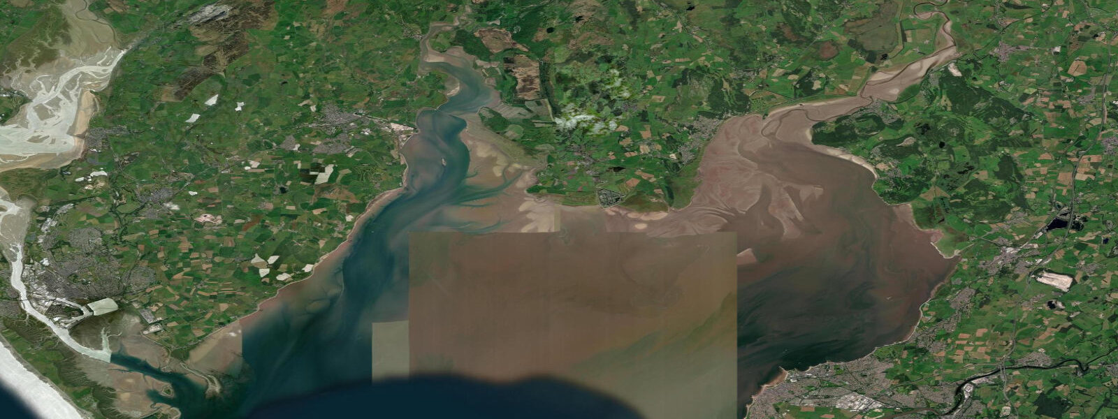
Grange-over-Sands sits on the northern shore of Morecambe Bay, a small Edwardian resort town that developed after the Furness Railway arrived in 1857. The railway brought Victorian holidaymakers who came for the mild climate — Grange sits in a south-facing limestone bowl that traps warmth and keeps it unusually frost-free for northern England. The same bay that drew them is also one of the most dangerous tidal environments in the country.
The mean spring tidal range at Grange is around 8.0 metres. At low water, the bay floor is exposed for kilometres in every direction — a flat, grey-brown expanse of wet sand, channels, and cockle beds that catches light beautifully and looks entirely safe to walk. The channels shift with every tide. Quicksand and fast-filling gutters have killed people who walked out without guidance. The bay's tidal flood is legendary for its speed — local accounts describe the returning sea moving as fast as a galloping horse across the flat sand, covering ground faster than a person can run on wet sand.
The official Cross Bay Walk programme, organised under the Duchy of Lancaster's appointed guide, runs from April through October. Guided crossings take around three hours and start from either Arnside to the south or Kents Bank immediately east of Grange. The route changes with every crossing, because the channels do. No reputable guide walks the same line twice. The 2004 Morecambe cockle-picker tragedy — 23 deaths in one night, less than 3 kilometres from where the Grange promenade ends — is the permanent warning for anyone considering an unguided attempt.
For visitors who stay on land, Grange's promenade is a flat, accessible 1-kilometre walk along the bay edge. The ornamental gardens behind the promenade are a genuine feature — Grange's microclimate supports plants that have no business being this far north, including mimosa and eucalyptus. At low water on a clear day, the view across the bay to the Lake District fells is as good as any coastal panorama in northern England.
Wading birds use the bay's intertidal flats extensively. Curlew, redshank, dunlin, and oystercatcher are year-round; knot and bar-tailed godwit move through on autumn migration in numbers that can reach thousands. The RSPB runs guided birdwatching events on the bay; the best viewing from Grange is at the two to three hours before the tide reaches the promenade edge, when the birds are concentrated on the narrowing strip of exposed sand.
Tide predictions on this page come from Open-Meteo Marine (±45 minutes, ±0.2–0.3 m accuracy in macrotidal environments). For authoritative local tide times consult the UK National Tide Gauge Network (NTSLF) and UKHO EasyTide.
Tide questions about Grange-over-Sands
Quick answers to the most common questions about tide times, range, and water access at Grange-over-Sands.
What is the tidal range at Grange-over-Sands?
The mean spring tidal range at Grange-over-Sands is around 8.0 metres, making this one of the largest tidal ranges in England. At low water a vast expanse of Morecambe Bay sand and mudflat is exposed, stretching kilometres from the shore. The neap range drops to approximately 4.0 to 5.0 metres. The combination of extreme range and very shallow bay gradient means the sea retreats and advances over enormous distances with each tidal cycle.
Is it safe to walk on the Morecambe Bay sands at Grange-over-Sands?
Walking independently on the exposed bay sands is not safe. Morecambe Bay has quicksand channels that shift position with every tide and a flood tide that can return faster than a person can run on wet sand. The 2004 cockle-picker tragedy, in which 23 people drowned less than 3 kilometres from Grange, illustrates the bay's speed and unpredictability. Official guided Cross Bay Walks run under the Duchy of Lancaster's appointed guide from April through October; these are the only safe way to walk on the bay floor.
How do I join an official Cross Bay Walk?
The official Cross Bay Walks are booked through the Duchy of Lancaster's appointed guide and typically run on specific dates from April through October. Crossings start from either Arnside or Kents Bank (a short walk or taxi from Grange-over-Sands station) and take around three hours. Numbers are limited and bookings fill quickly in the summer months. Search for 'Cross Bay Walk official guide' and book directly through the official programme — avoid any unguided commercial alternatives.
What birds can I see from the Grange-over-Sands promenade?
Morecambe Bay is one of England's most important wader sites. From the Grange promenade, year-round species include curlew, oystercatcher, redshank, and dunlin feeding on the intertidal flats. In autumn (August through November), bar-tailed godwit and knot pass through on migration — knot flocks on the bay can reach tens of thousands of individuals. The best viewing is from two hours before the rising tide reaches the promenade edge, when birds are pushed closer to the shore.
Are tide predictions for Grange-over-Sands accurate enough for bay safety decisions?
Tide predictions on this page come from Open-Meteo Marine, a gridded global ocean model with typical accuracy of ±45 minutes in timing and ±0.2–0.3 metres in height — adequate for general planning but not for bay safety decisions. For accurate, station-specific tide times consult the UKHO EasyTide service or the NTSLF gauge data for Heysham, the nearest official gauge. For Cross Bay Walk timing, the official guide makes the decision based on direct observation of conditions on the day — model predictions are not a substitute.
8-day tide table — Grange-over-Sands
Heights relative to MSL. Predictions: Open-Meteo Marine (MeteoFrance SMOC, 0.08° grid) — heights relative to MSL (not chart datum / LAT). Model-derived.
| Day | Type | Time | Height |
|---|---|---|---|
| Sun 21 Jun | Low | 01:00 | -0.5m / -1.6ft |
| High | 04:07 | 2.9m / 9.6ft | |
| Low | 11:00 | -3.7m / -12.2ft | |
| High | 16:50 | 2.2m / 7.1ft | |
| Low | 23:18 | -2.9m / -9.4ft | |
| Mon 22 Jun | High | 05:09 | 2.6m / 8.5ft |
| Low | 11:52 | -3.2m / -10.6ft | |
| High | 17:49 | 2.2m / 7.2ft | |
| Tue 23 Jun | Low | 00:18 | -2.6m / -8.6ft |
| High | 06:12 | 2.5m / 8.1ft | |
| Low | 12:56 | -2.8m / -9.1ft | |
| High | 18:48 | 2.1m / 6.8ft | |
| Wed 24 Jun | Low | 01:21 | -2.4m / -7.9ft |
| High | 07:09 | 2.3m / 7.7ft | |
| Low | 14:00 | -2.9m / -9.4ft | |
| High | 19:47 | 2.1m / 6.8ft | |
| Thu 25 Jun | Low | 02:32 | -2.5m / -8.1ft |
| High | 08:07 | 2.2m / 7.2ft | |
| Low | 14:57 | -2.6m / -8.6ft | |
| High | 20:40 | 2.4m / 7.7ft | |
| Fri 26 Jun | Low | 03:30 | -2.6m / -8.4ft |
| High | 09:03 | 2.4m / 7.8ft | |
| Sat 27 Jun | Low | 04:22 | -2.6m / -8.7ft |
| High | 09:53 | 2.6m / 8.5ft | |
| Low | 16:44 | -2.7m / -8.9ft | |
| High | 22:15 | 2.8m / 9.1ft | |
| Sun 28 Jun | Low | 00:00 | 1.4m / 4.8ft |