Barrow-in-Furness tide times
Barrow-in-Furness tide forecast — heights relative to MSL.
Today's tide times for Barrow-in-Furness
Tide times at Barrow-in-Furness on Sunday, 21 June 2026: first low tide at 01:00, first high tide at 04:04, second low tide at 10:52, second high tide at 16:47, third low tide at 23:07. Sunrise 04:39, sunset 21:49.
Tide chart for Barrow-in-Furness
24-hour cosine-interpolated curve around the present moment. Heights relative to MSL. Predictions: Predictions: Open-Meteo Marine (MeteoFrance SMOC, 0.08° grid).
Sun, moon and conditions on Sun 21 Jun
Snapshot at build time — refreshes daily. Sea state from Open-Meteo Marine.
Highs and lows next 7 days
Every predicted high and low for the next week, with the daily tidal coefficient (0–120; higher = bigger swing, > 95 means stronger currents).
Other spots nearby
The three closest curated TideTurtle locations to Barrow-in-Furness, measured by great-circle distance.
Today's solunar windows
Solunar tradition: major periods are the ≈3h windows around moon transit and opposition; minor are ≈2h around moonrise and moonset. Pair with the local tide stage and wind for the best read.
Cycle dates near Barrow-in-Furness
Last spring tide on Sun 21 Jun (range 6.5m / 21.2ft). Next spring tide on Sat 27 Jun (range 5.1m / 16.8ft). Next neap on Thu 25 Jun.
Spring tides cluster around new and full moons (biggest swings). Neap tides land on quarter moons (smallest swings). See the spring tide and neap tide glossary entries for the why.
About tides at Barrow-in-Furness
A short guide to the coastline at Barrow-in-Furness — geography, sea state, and what the tide is actually doing under your feet.
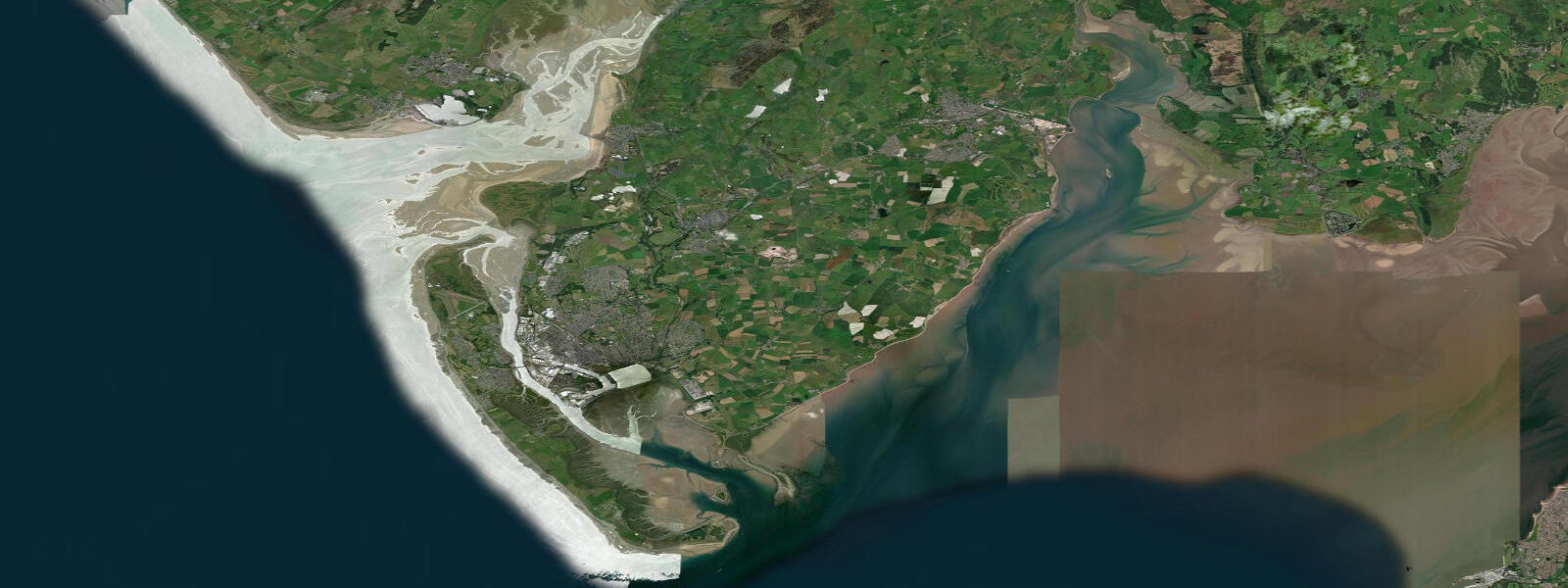
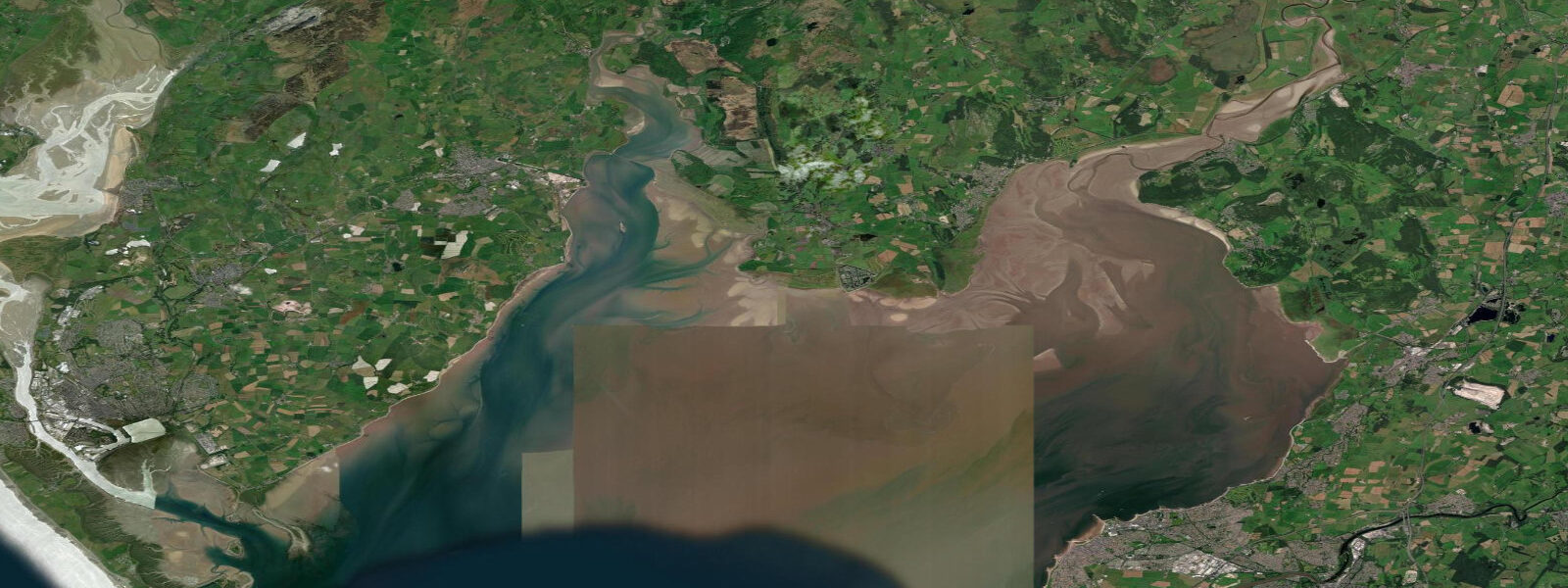
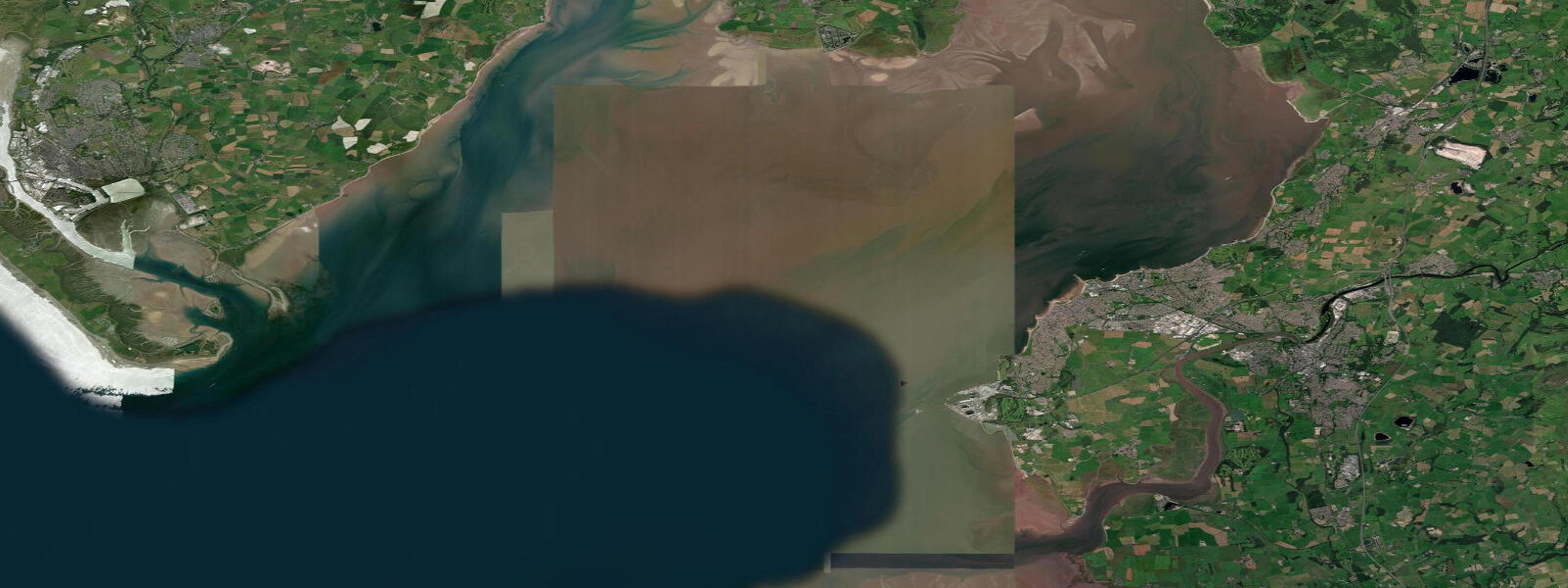
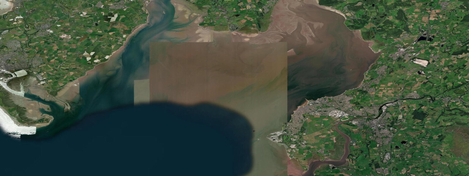
Barrow-in-Furness occupies the tip of the Furness Peninsula, the limestone spit that forms the western edge of Morecambe Bay. Walney Island lies immediately to the west, a thin, curved barrier island that shelters the town and its harbour from the open Irish Sea. Between Walney and the mainland, the Walney Channel carries tidal flow north and south, draining and filling with each cycle. The mean spring tidal range at Barrow Harbour is around 7.5 metres.
The town exists because of shipbuilding. The Vickers yard opened in 1871; the company built battleships and dreadnoughts here through two world wars, then transitioned to submarines under various ownerships that led to the present BAE Systems Submarines facility. Barrow has built more nuclear submarines than any other site in Britain. The Devonshire Dock Hall — completed in 1986 to build Trident submarines under cover — is visible from the water and from Walney Island: a structure 285 metres long, 60 metres wide, and 51 metres tall. It is one of the largest indoor structures in Europe and it sits in a tidal landscape.
The Dock Museum in the centre of town covers the full industrial history from ironworks through submarine construction, with a dry dock visible through the floor-to-ceiling windows. The collection includes model boats, original drawings, and the Victoria archive photographs of workers in the early-twentieth-century yard. Entry is free.
Walney Island itself has two nature reserves at its north and south tips: South Walney and North Walney. South Walney holds one of England's largest colonies of lesser black-backed gulls and herring gulls — over 30,000 pairs have been counted — and the Cumbrian Wildlife Trust runs the reserve. The south end of the island also has grey and common seals hauling out on the shingle banks visible from the seawall at low water. The channel between the island and the mainland dries partially on low spring tides, exposing sandbanks used by oystercatchers and redshanks.
Fishing in the Walney Channel and around the harbour mouth is productive for flounder, bass (summer), and occasional sea trout. The spring tide ebb creates strong currents through the channel — local knowledge of the holding spots on the slack is worth having before fishing from the bank.
Tide predictions on this page come from Open-Meteo Marine (±45 minutes, ±0.2–0.3 m accuracy). For authoritative local tide times consult UKHO EasyTide or the NTSLF network.
Tide questions about Barrow-in-Furness
Quick answers to the most common questions about tide times, range, and water access at Barrow-in-Furness.
What is the tidal range at Barrow-in-Furness?
The mean spring tidal range at Barrow Harbour is around 7.5 metres. The Walney Channel between Barrow and Walney Island drains and fills with each tidal cycle; on spring low tides, sandbanks and mudflats are exposed throughout the channel and the inner harbour area. Neap range is approximately 3.5 to 4.5 metres. The macrotidal character means the harbour entrance depth and navigable window for larger vessels are strongly tide-dependent.
What is the Devonshire Dock Hall and can I visit?
The Devonshire Dock Hall is BAE Systems' covered submarine construction facility, built in 1986 for the Trident-class submarines programme. At 285 metres long and 51 metres tall it is one of the largest indoor structures in Europe. The facility is an active defence site and is not open to the public. It is visible from the seawall on Walney Island and from the harbour approach. The Dock Museum in Barrow town centre is the public-access alternative — it covers the full history of shipbuilding at the site with original photographs, models, and archive material.
Where can I see grey seals near Barrow-in-Furness?
Grey and common seals haul out on the shingle banks at the south tip of Walney Island, visible from the seawall at South Walney Nature Reserve (Cumbria Wildlife Trust). Low water on spring tides gives the best views as the sandbanks fully expose. South Walney also holds one of the largest herring gull and lesser black-backed gull colonies in England, so the reserve is worth combining with a seal visit.
Is there good fishing in the Walney Channel?
The Walney Channel produces flounder year-round from the bank, with bass moving into the channel from May through October. The ebb tide creates strong current through the channel; experienced local anglers fish the slack at low water when fish hold in the deeper hollows near the channel edges. Ragworm and lugworm are the standard baits. The harbour wall on the Barrow side provides access at various tide states without needing to navigate the island.
How accurate are the tide predictions for Barrow-in-Furness, and where can I find official times?
Tide predictions on this page use Open-Meteo Marine, a global ocean model with typical accuracy of ±45 minutes in timing and ±0.2–0.3 metres in height — suitable for general planning. For marine navigation, vessel access to the harbour, or any safety-critical decisions, use the UKHO EasyTide service or the Admiralty Tide Tables (Area B). The NTSLF operates gauges at Heysham (nearby) and Barrow that provide verified tide height data.
8-day tide table — Barrow-in-Furness
Heights relative to MSL. Predictions: Open-Meteo Marine (MeteoFrance SMOC, 0.08° grid) — heights relative to MSL (not chart datum / LAT). Model-derived.
| Day | Type | Time | Height |
|---|---|---|---|
| Sun 21 Jun | Low | 01:00 | -0.4m / -1.4ft |
| High | 04:04 | 2.8m / 9.3ft | |
| Low | 10:52 | -3.6m / -11.9ft | |
| High | 16:47 | 2.1m / 6.7ft | |
| Low | 23:07 | -2.8m / -9.3ft | |
| Mon 22 Jun | High | 05:05 | 2.4m / 8.0ft |
| Low | 11:42 | -3.2m / -10.4ft | |
| High | 17:46 | 2.0m / 6.7ft | |
| Tue 23 Jun | Low | 00:05 | -2.6m / -8.5ft |
| High | 06:11 | 2.3m / 7.5ft | |
| Low | 12:44 | -2.7m / -8.9ft | |
| High | 18:47 | 1.9m / 6.2ft | |
| Wed 24 Jun | Low | 01:03 | -2.4m / -7.8ft |
| High | 07:09 | 2.1m / 7.0ft | |
| Low | 13:45 | -2.8m / -9.1ft | |
| High | 19:50 | 1.9m / 6.2ft | |
| Thu 25 Jun | Low | 02:12 | -2.3m / -7.6ft |
| High | 08:10 | 2.0m / 6.6ft | |
| Low | 14:41 | -2.5m / -8.2ft | |
| High | 20:43 | 2.2m / 7.1ft | |
| Fri 26 Jun | Low | 03:14 | -2.4m / -7.8ft |
| High | 09:06 | 2.2m / 7.2ft | |
| Low | 15:42 | -2.5m / -8.1ft | |
| High | 21:33 | 2.3m / 7.7ft | |
| Sat 27 Jun | Low | 04:08 | -2.5m / -8.1ft |
| High | 09:56 | 2.4m / 7.7ft | |
| Low | 16:33 | -2.5m / -8.3ft | |
| High | 22:18 | 2.6m / 8.5ft | |
| Sun 28 Jun | Low | 00:00 | 1.5m / 4.8ft |