St Brelade, Jersey tide times
St Brelade, Jersey tide forecast — heights relative to MSL.
Today's tide times for St Brelade, Jersey
Tide times at St Brelade, Jersey on Sunday, 21 June 2026: first high tide at 01:00, first low tide at 05:39, second high tide at 11:37, second low tide at 17:57, third high tide at 23:59. Sunrise 05:03, sunset 21:17.
Tide chart for St Brelade, Jersey
24-hour cosine-interpolated curve around the present moment. Heights relative to MSL. Predictions: Predictions: Open-Meteo Marine (MeteoFrance SMOC, 0.08° grid).
Sun, moon and conditions on Sun 21 Jun
Snapshot at build time — refreshes daily. Sea state from Open-Meteo Marine.
Highs and lows next 7 days
Every predicted high and low for the next week, with the daily tidal coefficient (0–120; higher = bigger swing, > 95 means stronger currents).
Other spots nearby
The three closest curated TideTurtle locations to St Brelade, Jersey, measured by great-circle distance.
Today's solunar windows
Solunar tradition: major periods are the ≈3h windows around moon transit and opposition; minor are ≈2h around moonrise and moonset. Pair with the local tide stage and wind for the best read.
Cycle dates near St Brelade, Jersey
Last spring tide on Sun 21 Jun (range 6.7m / 21.8ft). Next spring tide on Sat 27 Jun (range 5.9m / 19.3ft). Next neap on Wed 24 Jun.
Spring tides cluster around new and full moons (biggest swings). Neap tides land on quarter moons (smallest swings). See the spring tide and neap tide glossary entries for the why.
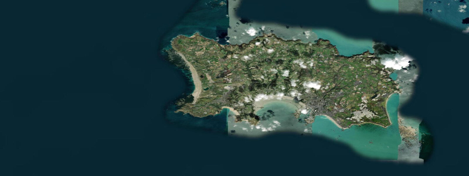
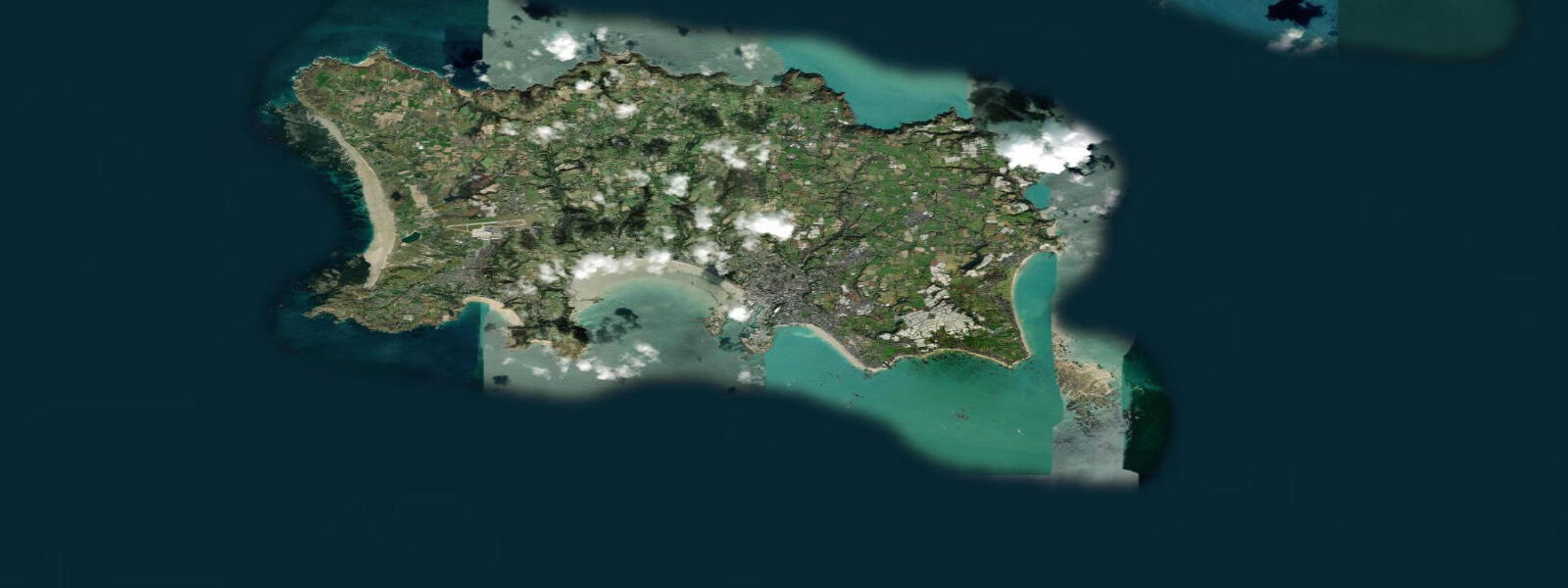
About tides at St Brelade, Jersey
A short guide to the coastline at St Brelade, Jersey — geography, sea state, and what the tide is actually doing under your feet.
St Brelade's Bay is Jersey's best-known beach — a wide, sheltered sandy arc on the island's southwest coast, backed by low green headlands and a cluster of hotels that have been in business since Edwardian times. The bay faces south-southwest, protected from the prevailing westerlies by the headland at Corbière to the west. The mean spring tidal range here is around 10.5 metres — somewhat less than St Helier on the south coast, but still among the largest beach ranges in the British Isles.
The tidal signature of St Brelade's Bay is dramatic on the ground. At high water on a spring tide, the beach is a narrow strip of sand at the base of the dune-backed beach road. At low water the same bay reveals several hundred metres of sand stretching south into the bay, with reef systems appearing at the bay's extremities and rock pools forming along the edges. Elizabeth Castle is visible from the beach at almost any state of tide — a constant reminder of the tidal drama playing out a few kilometres to the east in St Helier harbour.
Swimming at St Brelade is at its best from two hours before high water through high tide itself, when the bay holds sufficient depth and the beach is at its most inviting. Low water in summer brings warm, shallow water over the sand — the shallow bay floor heats quickly — but the retreating sea leaves a long walk to reach swimming depth. Lifeguards patrol the beach in the summer season; the bay is considered one of the safer family beaches in Jersey.
The Parish Church of St Brelade, at the west end of the bay, is one of Jersey's oldest — parts of the building date from the twelfth century, with a small fisherman's chapel (the Fishermen's Chapel) alongside the main building containing medieval wall paintings. The churchyard sits directly at the beach edge; the tideline is a few metres from the churchyard wall at high water. The combination of old stone and occupied beach is characteristically Jersey.
Surfing is not St Brelade's primary character — the bay's southwest orientation catches very occasional swell on Atlantic groundswell events, but the bay is generally too sheltered for consistent waves. The better surf on Jersey's south coast comes in larger swell events when refracted energy rounds both headlands. For reliable surfing, Plemont (north coast) is the local recommendation.
Corbière Lighthouse, 3 kilometres west of St Brelade, is the most photographed landmark on Jersey. The white lighthouse sits on a tidal rock platform that is accessible on foot at low water via a causeway, just as Elizabeth Castle is in St Helier. The approach is flagged and safe at low tide, but the Jersey authorities post a prominent warning at the causeway entrance: the tide can cut off the rock very quickly at this location. The view back to the lighthouse with the sea returning around it is the standard Jersey postcard.
Tide predictions on this page come from Open-Meteo Marine (±45 minutes, ±0.2–0.3 m accuracy). For authoritative St Brelade/Jersey tide times consult UKHO EasyTide using the St Helier standard port with secondary port corrections.
Tide questions about St Brelade, Jersey
Quick answers to the most common questions about tide times, range, and water access at St Brelade, Jersey.
What is the tidal range at St Brelade's Bay?
St Brelade's Bay has a mean spring tidal range of approximately 10.5 metres — one of the larger beach tidal ranges in the British Isles, though slightly less than St Helier on the same island. At low water on a spring tide, several hundred metres of sand are exposed across the bay. Neap range drops to around 5.0 metres. The practical result is that the beach area triples or quadruples between low and high water, and the swimming depth changes dramatically depending on the tidal state.
When is the best time to swim at St Brelade's Bay?
The preferred swimming window is from two hours before high water through high tide — this gives adequate depth across the bay and brings the warmest surface water, which heats over the shallow sand during the flood. Low water in summer is also swimmable (water over warm sand stays relatively warm) but requires a long walk to reach depth. Lifeguards patrol during the summer season. The Environment Agency equivalent in Jersey (Jersey Environment) publishes bathing water quality results.
Can I walk to Corbière Lighthouse from St Brelade?
Corbière is 3 kilometres west of St Brelade's Bay by road or coastal path. The lighthouse itself sits on a tidal rock platform connected to the shore by a causeway. The causeway is walkable at low water — the window is roughly two hours either side of low tide. Jersey authorities post a flag and a warden at the causeway entrance when conditions allow access; when the flag is withdrawn, the causeway is no longer safe to cross. The returning tide at Corbière fills the causeway quickly and has caught visitors before.
Is the Parish Church of St Brelade worth visiting?
The Parish Church of St Brelade is one of the oldest buildings on Jersey — the core structure dates from the twelfth century. The adjacent Fishermen's Chapel contains medieval wall paintings (restored) that were uncovered in the twentieth century after centuries under whitewash. The churchyard is at the western end of the bay, a few metres from the high-tide line. Entry is free. The combination of the ancient church, the working beach, and the visible tidal range is distinctly Jersey and unlike anywhere in mainland Britain.
How reliable are the tide predictions shown for St Brelade?
Predictions on this page use Open-Meteo Marine (typical accuracy ±45 minutes, ±0.2–0.3 m). For a 10.5-metre spring range, these are adequate for beach planning but not for decisions about the Corbière causeway or similar tidal access. For authoritative Jersey tide times, use UKHO EasyTide with the St Helier standard port data — St Helier is the primary gauge for all Jersey secondary ports. The NTSLF also maintains St Helier tide gauge records. Tidal access decisions at Corbière should always defer to the warden on site.
8-day tide table — St Brelade, Jersey
Heights relative to MSL. Predictions: Open-Meteo Marine (MeteoFrance SMOC, 0.08° grid) — heights relative to MSL (not chart datum / LAT). Model-derived.
| Day | Type | Time | Height |
|---|---|---|---|
| Sun 21 Jun | High | 01:00 | 1.7m / 5.4ft |
| Low | 05:39 | -4.0m / -13.0ft | |
| High | 11:37 | 2.6m / 8.5ft | |
| Low | 17:57 | -3.4m / -11.2ft | |
| High | 23:59 | 2.7m / 8.9ft | |
| Mon 22 Jun | Low | 06:27 | -3.4m / -11.2ft |
| High | 12:32 | 2.3m / 7.6ft | |
| Low | 18:46 | -2.9m / -9.4ft | |
| Tue 23 Jun | High | 00:53 | 2.4m / 7.9ft |
| Low | 07:17 | -2.9m / -9.6ft | |
| High | 13:26 | 2.2m / 7.2ft | |
| Low | 19:48 | -2.5m / -8.3ft | |
| Wed 24 Jun | High | 01:51 | 2.1m / 7.0ft |
| Low | 08:21 | -2.6m / -8.4ft | |
| High | 14:23 | 2.1m / 7.0ft | |
| Low | 21:03 | -2.4m / -7.9ft | |
| Thu 25 Jun | High | 02:50 | 2.0m / 6.7ft |
| Low | 09:34 | -2.5m / -8.3ft | |
| High | 15:19 | 2.2m / 7.4ft | |
| Low | 22:10 | -2.6m / -8.4ft | |
| Fri 26 Jun | High | 03:47 | 2.2m / 7.2ft |
| Low | 10:36 | -2.6m / -8.6ft | |
| High | 16:13 | 2.5m / 8.0ft | |
| Low | 23:07 | -2.8m / -9.2ft | |
| Sat 27 Jun | High | 04:41 | 2.4m / 7.9ft |
| Low | 11:31 | -2.9m / -9.5ft | |
| High | 17:05 | 2.7m / 8.8ft | |
| Sun 28 Jun | Low | 00:00 | -3.2m / -10.4ft |