Gorey, Jersey tide times
Gorey, Jersey tide forecast — heights relative to MSL.
Today's tide times for Gorey, Jersey
Tide times at Gorey, Jersey on Sunday, 21 June 2026: first high tide at 01:00, first low tide at 05:52, second high tide at 11:47, second low tide at 18:10. Sunrise 05:02, sunset 21:16.
Tide chart for Gorey, Jersey
24-hour cosine-interpolated curve around the present moment. Heights relative to MSL. Predictions: Predictions: Open-Meteo Marine (MeteoFrance SMOC, 0.08° grid).
Sun, moon and conditions on Sun 21 Jun
Snapshot at build time — refreshes daily. Sea state from Open-Meteo Marine.
Highs and lows next 7 days
Every predicted high and low for the next week, with the daily tidal coefficient (0–120; higher = bigger swing, > 95 means stronger currents).
Other spots nearby
The three closest curated TideTurtle locations to Gorey, Jersey, measured by great-circle distance.
Today's solunar windows
Solunar tradition: major periods are the ≈3h windows around moon transit and opposition; minor are ≈2h around moonrise and moonset. Pair with the local tide stage and wind for the best read.
Cycle dates near Gorey, Jersey
Last spring tide on Sun 21 Jun (range 6.8m / 22.2ft). Next spring tide on Sat 27 Jun (range 6.0m / 19.8ft). Next neap on Wed 24 Jun.
Spring tides cluster around new and full moons (biggest swings). Neap tides land on quarter moons (smallest swings). See the spring tide and neap tide glossary entries for the why.
About tides at Gorey, Jersey
A short guide to the coastline at Gorey, Jersey — geography, sea state, and what the tide is actually doing under your feet.
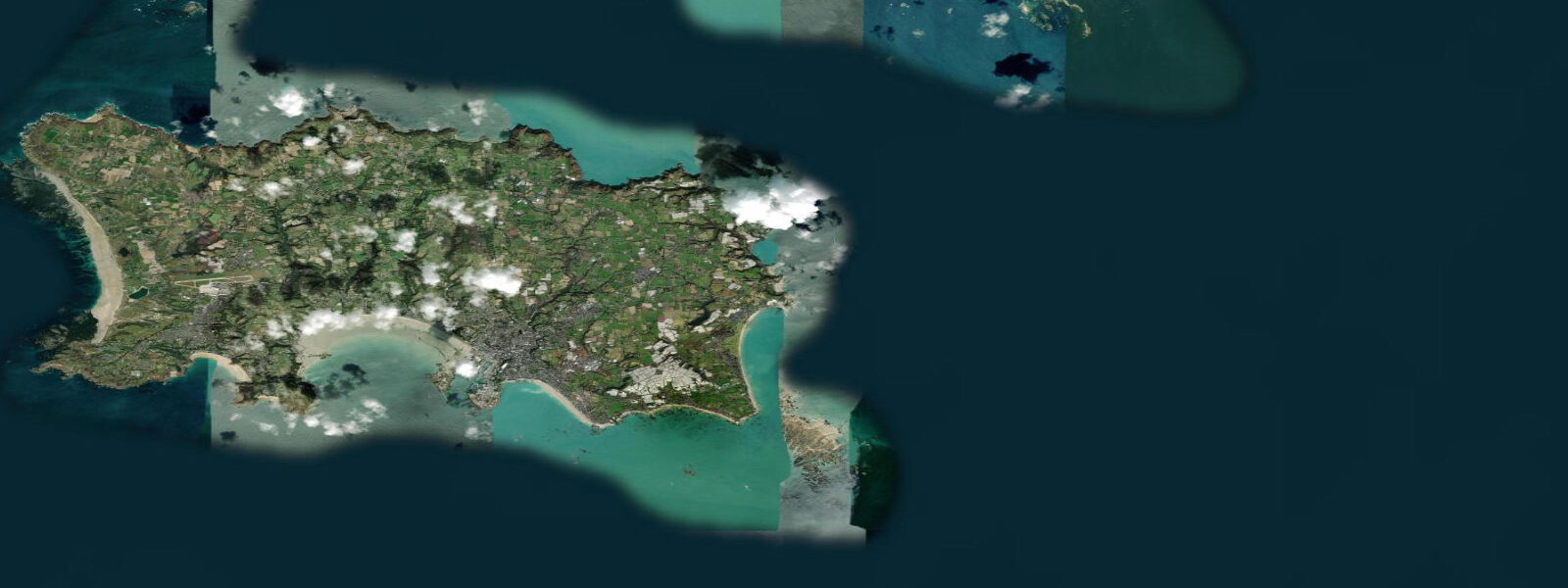
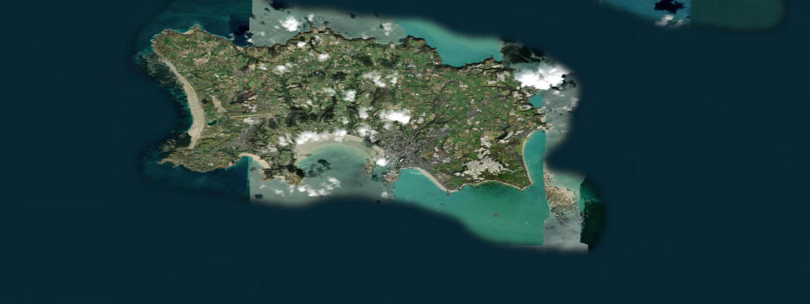
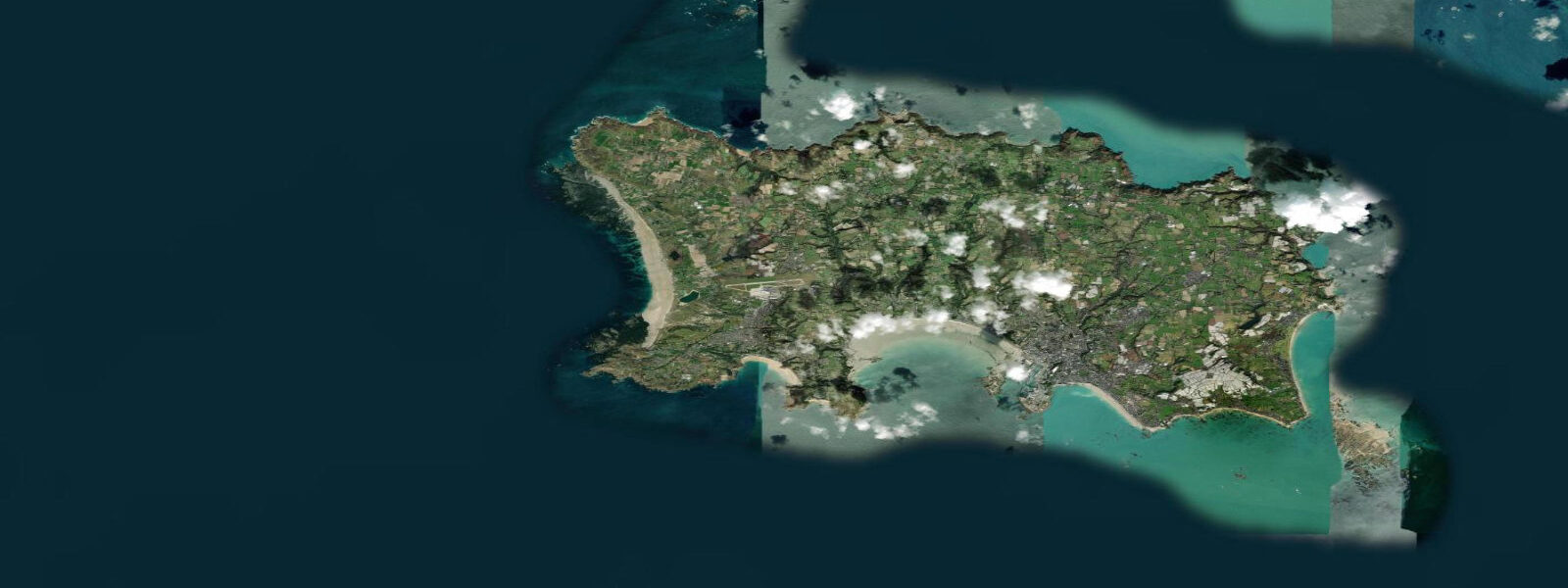
Gorey is a small harbour village on Jersey's northeast coast, directly beneath Mont Orgueil Castle on its granite headland. The castle has occupied the cliff above the harbour since the early thirteenth century — construction began around 1204, shortly after England lost Normandy to the French crown and Jersey became a frontier outpost. The harbour below it dries at low water. On a spring low tide, the boats sit on the sand and the stone walls of the harbour are exposed to twice their height above the low-water mark. The castle, the drying harbour, and the tidal flat together are one of the most coherent medieval maritime scenes surviving in the British Isles.
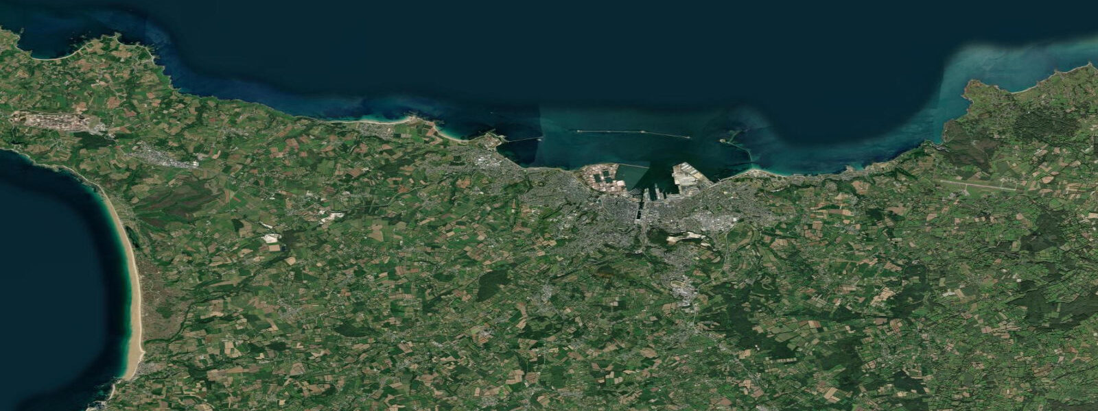
The tidal range at Gorey is broadly similar to the rest of Jersey's east and north coasts — mean spring range around 11.0 to 11.5 metres, slightly higher than St Brelade on the more exposed northeast facing. Low water on a spring tide exposes the Royal Bay of Grouville, the wide sandy bay extending south of Gorey, for several hundred metres. At high water the same beach is a compact strip of sand and the bay fills from headland to headland.
Mont Orgueil Castle (Mont Orgueil translates as Mount Pride) is a Jersey Heritage property and is considered the best-preserved medieval castle in Jersey. The route through the castle climbs the full height of the headland, from the portcullis at the lowest level to the summit keep at the top — about 70 metres of height above the harbour. The views from the top take in the Normandy coast on clear days: Granville and the contours of the Cotentin Peninsula are visible roughly 50 kilometres to the east.
The harbour itself operates a small fishing and leisure fleet. Shellfish is the main commercial catch from Gorey — spider crabs, chancre crabs, lobsters, and razor clams are landed here. The harbour restaurants work directly with local boats; crab and lobster here is as fresh as it gets in the British Isles. The Jersey Oyster Company operates oyster beds in the Grouville Bay intertidal zone — the beds are marked by buoys visible at low water.
Grouville Bay to the south of Gorey is Jersey's longest straight beach, running about 3 kilometres to La Rocque harbour at the far end. The sand is exposed from around mid-ebb onwards and the bay is consistently popular for walking, kite-flying, and casual paddling. The beach road behind the bay — La Route de la Côte — has beach access points every few hundred metres. The Royal Jersey Golf Club occupies the dune land between the road and the beach, the oldest golf club in Jersey (founded 1878); the 18th hole green is within metres of the high-tide line.
Tide predictions on this page come from Open-Meteo Marine (±45 minutes, ±0.2–0.3 m accuracy). For authoritative Gorey/Jersey tide times consult UKHO EasyTide using St Helier standard port data with secondary port corrections for the northeast coast.
Tide questions about Gorey, Jersey
Quick answers to the most common questions about tide times, range, and water access at Gorey, Jersey.
What is the tidal range at Gorey, Jersey?
Gorey's mean spring tidal range is approximately 11.0 to 11.5 metres on the northeast coast of Jersey. The harbour dries completely at low water on spring tides — boats rest on the sand or on cradles. Neap range is around 5.5 metres. The Royal Bay of Grouville, south of the harbour, exposes a broad intertidal sand flat at low water, shrinking to a narrow strip at high tide.
When can boats enter and leave Gorey harbour?
Gorey is a drying harbour — it has no significant depth at low water and vessels on the inner berths take the ground. Arrival and departure windows are tide-dependent: generally from about 2 hours before high water through to 2 hours after high water gives sufficient depth for most leisure craft drawing up to 1.5 metres. Local boatmen know the specific berths and sandbanks well. Check the St Helier tide tables (UKHO EasyTide, with secondary port corrections for Gorey) and aim to arrive on the young flood.
What is Mont Orgueil Castle and how do I visit?
Mont Orgueil Castle is a Jersey Heritage site open to visitors, situated on the headland directly above Gorey harbour. Construction began around 1204, making it over 800 years old. The route through the castle climbs approximately 70 metres from the portcullis to the summit keep; expect around 90 minutes for a full visit. The summit offers clear-day views to the Normandy coast 50 kilometres east. Jersey Heritage charges an entry fee; combined tickets covering multiple island heritage sites are available.
Where can I eat fresh crab and lobster at Gorey?
Gorey has several harbour-side restaurants that work directly with the local shellfish fleet. Spider crab and chancre crab are the main catches; lobster is in season from April through October. The Jersey Oyster Company's beds are in Grouville Bay just south of the harbour — farmed native oysters are available at the harbour and in local restaurants. Book ahead in summer; Gorey's restaurant cluster is small and gets very busy July through August.
Are the tide predictions for Gorey on this page accurate enough to plan harbour access or beach walks?
Predictions use Open-Meteo Marine, with typical accuracy of ±45 minutes and ±0.2–0.3 metres. For Grouville Bay beach walking, this level of accuracy is sufficient for general planning. For harbour access and boat movements in a drying harbour with an 11-metre spring range, use UKHO EasyTide with St Helier standard port data and Gorey secondary port corrections — these provide verified, site-specific predictions. Navigation and safety decisions should always use authoritative sources, not model approximations.
8-day tide table — Gorey, Jersey
Heights relative to MSL. Predictions: Open-Meteo Marine (MeteoFrance SMOC, 0.08° grid) — heights relative to MSL (not chart datum / LAT). Model-derived.
| Day | Type | Time | Height |
|---|---|---|---|
| Sun 21 Jun | High | 01:00 | 1.9m / 6.2ft |
| Low | 05:52 | -4.0m / -13.2ft | |
| High | 11:47 | 2.6m / 8.5ft | |
| Low | 18:10 | -3.5m / -11.4ft | |
| Mon 22 Jun | High | 00:09 | 2.7m / 9.0ft |
| Low | 06:41 | -3.5m / -11.4ft | |
| High | 12:42 | 2.4m / 7.8ft | |
| Low | 18:58 | -2.9m / -9.4ft | |
| Tue 23 Jun | High | 01:03 | 2.5m / 8.0ft |
| Low | 07:33 | -3.0m / -9.8ft | |
| High | 13:37 | 2.3m / 7.4ft | |
| Low | 20:03 | -2.5m / -8.3ft | |
| Wed 24 Jun | High | 01:59 | 2.2m / 7.3ft |
| Low | 08:39 | -2.6m / -8.5ft | |
| High | 14:32 | 2.2m / 7.3ft | |
| Low | 21:22 | -2.4m / -8.0ft | |
| Thu 25 Jun | High | 02:58 | 2.1m / 7.0ft |
| Low | 09:49 | -2.6m / -8.4ft | |
| High | 15:26 | 2.3m / 7.6ft | |
| Fri 26 Jun | Low | 10:51 | -2.7m / -8.8ft |
| High | 16:20 | 2.5m / 8.3ft | |
| Low | 23:23 | -2.9m / -9.4ft | |
| Sat 27 Jun | High | 04:48 | 2.5m / 8.1ft |
| Low | 11:45 | -3.0m / -9.8ft | |
| High | 17:12 | 2.8m / 9.1ft | |
| Sun 28 Jun | Low | 00:00 | -3.3m / -10.7ft |