Cherbourg tide times
Cherbourg tide forecast — heights relative to MSL.
Today's tide times for Cherbourg
Tide times at Cherbourg on Friday, 31 July 2026: first high tide at 02:00, first low tide at 04:49, second high tide at 10:22, second low tide at 16:58, third high tide at 22:29. Sunrise 06:34, sunset 21:50.
Tide chart for Cherbourg
24-hour cosine-interpolated curve around the present moment. Heights relative to MSL. Predictions: Predictions: Open-Meteo Marine (MeteoFrance SMOC, 0.08° grid).
Sun, moon and conditions on Fri 31 Jul
Snapshot at build time — refreshes daily. Sea state from Open-Meteo Marine.
Highs and lows next 7 days
Every predicted high and low for the next week, with the daily tidal coefficient (0–120; higher = bigger swing, > 95 means stronger currents).
Other spots nearby
The three closest curated TideTurtle locations to Cherbourg, measured by great-circle distance.
Today's solunar windows
Solunar tradition: major periods are the ≈3h windows around moon transit and opposition; minor are ≈2h around moonrise and moonset. Pair with the local tide stage and wind for the best read.
Cycle dates near Cherbourg
Next spring tide on Sat 01 Aug (range 5.0m). Next neap on Thu 06 Aug.
Spring tides cluster around new and full moons (biggest swings). Neap tides land on quarter moons (smallest swings). See the spring tide and neap tide glossary entries for the why.
About tides at Cherbourg
A short guide to the coastline at Cherbourg — geography, sea state, and what the tide is actually doing under your feet.
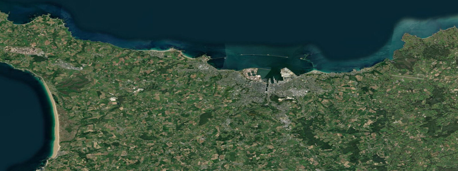
Cherbourg sits at the tip of the Cotentin Peninsula where Normandy's granite juts northward into the English Channel, and the tidal range here is among the largest in Europe. 5 metres. 5-metre difference in the height of the sea surface between a typical spring and neap cycle — and it means the intertidal zone along the Cotentin coast changes character dramatically depending on where you are in the lunar month.
At low water on a big spring tide, rocky platforms and reef systems that are permanently submerged for weeks at a time emerge from the sea for a few hours. The oyster beds laid out across the sand flats south of the peninsula toward Portbail and Barneville-Carteret operate on a calendar built around these windows. Cherbourg itself is defined by its port.
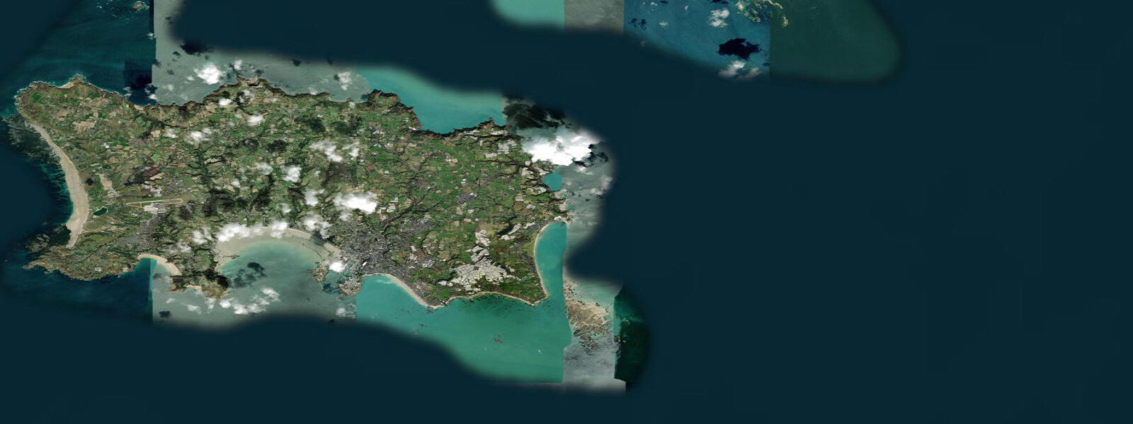
6 kilometres, built under Napoleon to shelter French naval vessels from the Channel weather — handles cross-Channel ferry traffic to Poole, Portsmouth, and Rosslare in Ireland. The ferry schedules interact with the tidal picture in the outer Channel: captains and pilots track the tidal stream through the wider Channel approaches, and the departure times from Cherbourg are calculated to make the best use of fair tidal current on the crossing. Northwest of the port, the headland of Cap de la Hague reaches toward the Channel Islands.
Between the cape and Alderney lies the Raz Blanchard — the Alderney Race — where the flood and ebb of the English Channel are forced through a 7-kilometre gap and spring tidal currents build to around 8 knots in the main stream. This is not a number that registers as abstract; an 8-knot current against a 20-knot southwesterly wind produces a short, steep sea state that is dangerous for small vessels. The Race is one of the premier tidal-race kayaking destinations in Europe, attracting expedition sea kayakers who plan transits precisely around the tidal window, but it demands serious preparation and local knowledge.
Anglers working the rocky ground around Cap de la Hague and the Cotentin coves target bass (bar in French), pollack, and wrasse. The rocky reef systems are most productive on the first two hours of flood, when baitfish are pushed in over the rocks and predators follow. The timing of those windows shifts by roughly 50 minutes each day as the tidal cycle progresses through the lunar month, which means keeping the tide table visible is a practical habit rather than an academic one.
Swimmers and beach visitors at the large sandy beaches on the west side of the Cotentin — Siouville, Flamanville, Barneville — work with a different reality. The beaches widen substantially at low water; the comfortable swimming area deepens at high. On a 6-metre spring tide, the vertical change between standing-in-ankle-deep and standing-on-dry-sand is dramatic, and the rate of flood — the horizontal run of the tide across a gently sloping beach — can be several hundred metres per hour on the lowest gradients.
Paying attention to which way the tide is running is simply part of being on the Cotentin coast. The D-Day beaches are a 60-kilometre drive south and east into Calvados department. Utah, Omaha, Gold, Juno, and Sword all lie on a coast with the same semidiurnal tidal pattern, and Allied planners on June 6, 1944 used the tide with precision: landings timed to arrive in the window between nautical twilight and a tide height that would float landing craft over the beach obstacles, while still exposing enough of the obstacles to be visible for navigation.
The tidal timing that shaped that planning window is the same tidal cycle that governs the coast today. The predictions on this page come from Open-Meteo Marine, a gridded global ocean model. 3 metres on height — model-derived, not from a local gauge.
For Cherbourg's 6-metre spring range, the height uncertainty is proportionally small, and the predictions are a reliable planning reference. Authoritative data for Normandy comes from the Service Hydrographique et Océanographique de la Marine (SHOM), which operates the French national gauge network and publishes the official Annuaire des marées.
Tide questions about Cherbourg
Quick answers to the most common questions about tide times, range, and water access at Cherbourg.
When is the next high tide at Cherbourg?
The tide table at the top of this page shows today's predicted high tide times in local time — CET in winter (UTC+1), CEST in summer (UTC+2, from late March to late October). Cherbourg has two high tides and two low tides each day, roughly 6 hours apart, with the cycle shifting forward by about 50 minutes daily as it tracks the lunar cycle. The predictions come from Open-Meteo Marine, typically accurate to within plus or minus 45 minutes on timing — model-derived, not a local gauge. For precision navigation or commercial use, SHOM (Service Hydrographique et Océanographique de la Marine) publishes the official French tide tables.
What is the tidal range at Cherbourg?
Spring tidal range at Cherbourg reaches approximately 6 metres — two high tides and two low tides per day with around 6 metres of vertical difference between them at the largest tides near new and full moon. Neap range, around the first and third quarter moon, compresses to roughly 2.5 metres. This places Cherbourg among the highest tidal ranges in Europe, a consequence of the English Channel acting as a funnel that amplifies Atlantic tidal energy. Further around the bay toward Mont Saint-Michel, spring range reaches 14 metres — the largest in continental Europe.
Where does the tide data for Cherbourg come from, and how accurate is it?
Predictions on this page come from Open-Meteo Marine, a free gridded global ocean model. They are model-derived, not from a local gauge — accuracy is typically within plus or minus 45 minutes on timing and 0.2 to 0.3 metres on height. Given Cherbourg's 6-metre spring range, the height uncertainty is proportionally modest (around 5% of the spring range), making these predictions useful for general planning. For authoritative data — navigation, commercial operations, or scientific reference — use SHOM, which operates the French national tide gauge network and publishes the Annuaire des marées.
What is the Raz Blanchard, and how does the tidal current affect conditions near Cherbourg?
The Raz Blanchard (Alderney Race in English) is the tidal race between Cap de la Hague — 25 km northwest of Cherbourg — and the island of Alderney, roughly 7 km offshore. Spring tidal currents in the main stream reach around 8 knots, making it one of the strongest tidal races in Europe. When the current opposes the prevailing southwesterly wind, the sea state becomes short and steep. Vessels transiting between the Channel Islands and the French mainland must plan passage timing carefully around the tidal windows; small recreational craft should treat the Race with serious respect. Experienced sea kayakers do paddle the Race deliberately, but only with careful preparation and precise tidal timing.
Is it safe to swim at Cherbourg's beaches, and how do the tides affect conditions?
The sandy beaches on the western Cotentin coast — Siouville, Barneville-Carteret, and others south of Cherbourg — are generally safe for swimming during settled conditions. The 6-metre spring tidal range means the beach width changes dramatically: at low water, the dry sand extends a long distance from the waterline, and the returning flood tide covers that ground relatively quickly on gently sloping beaches. Always check which way the tide is moving before entering the water, especially with children — the rate of flood on the flatter parts of the Cotentin beaches can surprise visitors unfamiliar with macrotidal coasts. No strong tidal race affects the beaches directly; the Raz Blanchard is confined to the offshore race around Cap de la Hague.
8-day tide table — Cherbourg
Heights relative to MSL. Predictions: Open-Meteo Marine (MeteoFrance SMOC, 0.08° grid) — heights relative to MSL (not chart datum / LAT). Model-derived.
| Day | Type | Time | Height |
|---|---|---|---|
| Fri 31 Jul | High | 02:00 | -1.0m |
| Low | 04:49 | -2.9m | |
| High | 10:22 | 1.7m | |
| Low | 16:58 | -2.6m | |
| High | 22:29 | 2.1m | |
| Sat 01 Aug | Low | 05:22 | -3.0m |
| High | 10:55 | 1.7m | |
| Low | 17:33 | -2.6m | |
| High | 23:00 | 2.0m | |
| Sun 02 Aug | Low | 05:53 | -3.0m |
| High | 11:24 | 1.9m | |
| Mon 03 Aug | Low | 06:27 | -2.8m |
| High | 11:57 | 1.9m | |
| Low | 18:42 | -2.5m | |
| Tue 04 Aug | High | 00:07 | 2.0m |
| Low | 07:03 | -2.7m | |
| Wed 05 Aug | High | 00:46 | 1.8m |
| Low | 07:42 | -2.4m | |
| High | 13:12 | 1.6m | |
| Low | 20:03 | -2.2m | |
| Thu 06 Aug | High | 01:29 | 1.4m |
| Low | 08:26 | -2.2m | |
| High | 14:04 | 1.3m | |
| Low | 20:56 | -1.9m | |
| Fri 07 Aug | High | 01:00 | 0.6m |