Grande Rivière, Trinidad tide times
Grande Rivière, Trinidad tide forecast — heights relative to MSL.
Today's tide times for Grande Rivière, Trinidad
Tide times at Grande Rivière, Trinidad on Saturday, 4 July 2026: first high tide at 05:00am, first low tide at 11:43am, second high tide at 06:04pm, second low tide at 11:47pm. Sunrise 05:46am, sunset 06:30pm.
Tide chart for Grande Rivière, Trinidad
24-hour cosine-interpolated curve around the present moment. Heights relative to MSL. Predictions: Predictions: Open-Meteo Marine (MeteoFrance SMOC, 0.08° grid).
Sun, moon and conditions on Sat 04 Jul
Snapshot at build time — refreshes daily. Sea state from Open-Meteo Marine.
Highs and lows next 7 days
Every predicted high and low for the next week, with the daily tidal coefficient (0–120; higher = bigger swing, > 95 means stronger currents).
Other spots nearby
The three closest curated TideTurtle locations to Grande Rivière, Trinidad, measured by great-circle distance.

Today's solunar windows
Solunar tradition: major periods are the ≈3h windows around moon transit and opposition; minor are ≈2h around moonrise and moonset. Pair with the local tide stage and wind for the best read.
Cycle dates near Grande Rivière, Trinidad
Last spring tide on Fri 03 Jul (range 0.7m). Next spring tide on Thu 09 Jul (range 0.7m). Next neap on Tue 07 Jul.
Spring tides cluster around new and full moons (biggest swings). Neap tides land on quarter moons (smallest swings). See the spring tide and neap tide glossary entries for the why.
About tides at Grande Rivière, Trinidad
A short guide to the coastline at Grande Rivière, Trinidad — geography, sea state, and what the tide is actually doing under your feet.
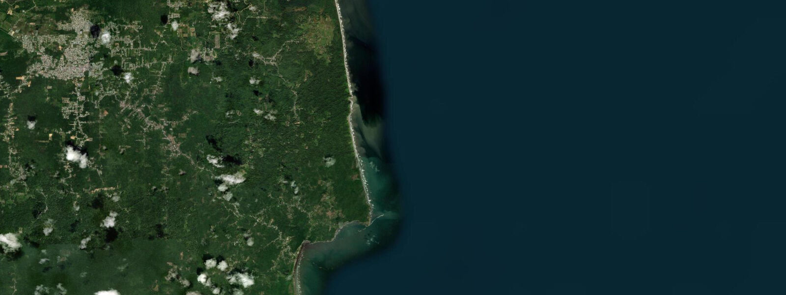
Grande Rivière is at the end of a road that crosses the Northern Range mountains from the Toco Highway, descending through forest to a river mouth on the Atlantic coast of Trinidad's northeast corner. The village has a small guesthouse community, a community nature tour guide association, and a beach that has been documented as one of the highest-density leatherback sea turtle nesting sites in the world. The nesting season runs from March through August; the peak is May and June, when counts of 200 to 500 leatherback females in a single night have been recorded.
A leatherback female weighs 300 to 600 kg, nests between 60 and 90 eggs per clutch, and may return to the same beach every 10 days through a season of three to seven clutches. The hatchlings emerge 60 to 65 days after laying, meaning the beach from June through September produces regular hatchling emergences — groups of 65 to 85 hatchlings scrambling across the sand to the surf in the dark. The Grande Rivière Nature Tour Guide Association manages beach access at night during nesting season; guided access is the only way to observe nesting turtles on the beach after dark.
The fee funds local rangers who monitor the nests for poaching and predation. The Grande Rivière river empties across the western end of the beach; the river mouth position shifts with seasonal rainfall and with storm flooding of the Northern Range catchment. The turbid plume from the river mouth reduces snorkelling visibility for several hundred metres to the west of the river.
The Atlantic facing northeast coast of Trinidad has a meaningfully different tidal regime from the Gulf of Paria west coast. 5 metres. 5 metres — the largest tidal variation on Trinidad's coastline.
The wider range at Grande Rivière means the beach width changes substantially with the tide: a spring low exposes 25 to 35 metres more beach than the high water state, and the lower beach section below mid-tide is the primary turtle nesting zone. The shore break at Grande Rivière is heavy on any swell day — the Atlantic arrives with full period and the river-mouth bar amplifies the break. Swimming is not recommended here; the beach is for turtle observation, photography, and walking.
Shore anglers fish from the river mouth bar at dawn on the ebb tide, when the baitfish moving on the current draw kingfish and jacks to the surface. 3 metres on height.
Tide questions about Grande Rivière, Trinidad
Quick answers to the most common questions about tide times, range, and water access at Grande Rivière, Trinidad.
How do I see leatherback turtles at Grande Rivière?
Contact the Grande Rivière Nature Tour Guide Association before your visit to book a guided night tour. The association manages all nighttime beach access during the nesting season (March through August). Guides meet visitors at the village and escort groups onto the beach when a nesting turtle is located — typically from about 20:00 onward. Group sizes are controlled to minimise disturbance. No torches, flash photography, or noise within 10 metres of a nesting turtle. The fee covers the guide's time and supports nest monitoring and anti-poaching patrols. Hatchling emergences (June through September) can sometimes be observed on daytime or early evening beach walks without a guide.
When is peak nesting season at Grande Rivière?
Leatherback nesting at Grande Rivière peaks in May and June, when nightly counts of 200 to 500 females have been recorded on a single beach less than 500 metres long. The season begins in March with the first arrivals and runs through August with the last nesting activity; hatchlings emerge from June through September as the clutches laid in March begin hatching 60 to 65 days after laying. The highest densities — and the most compelling observation experience — are from late April through June.
What is the tide range at Grande Rivière?
The northeast Atlantic coast of Trinidad runs a spring range of approximately 1.0 to 1.5 metres — significantly larger than the Gulf of Paria west coast, where the Gulf's near-enclosed basin compresses the tidal signal to under 0.5 metres. Two unequal highs and two unequal lows each day on a mixed semidiurnal pattern. The tidal range matters here because the beach width changes by 25 to 35 metres between spring high and low water; the lower beach section exposed at low tide is the primary turtle nesting zone.
Where do the tide predictions for Grande Rivière come from?
Open-Meteo Marine, a free gridded global ocean model. Accuracy is typically within plus or minus 45 minutes on timing and 0.2 to 0.3 metres on height. The Hydrological Division of the Trinidad and Tobago Ministry of Works issues marine forecasts for the territory. For authoritative tide reference data on the northeast Atlantic coast, the closest gauge data is at Toco, approximately 20 km west; the Institute of Marine Affairs publishes research on the northeast coast tidal regime.
Is this safe to use for navigation?
No. The northeast coast of Trinidad is exposed Atlantic coast with no commercial harbour at Grande Rivière. The river mouth bar and the nearshore swell regime make vessel approach extremely hazardous; there are no navigational aids at this location. Open-Meteo Marine gridded predictions are not authoritative navigational data. For any vessel operations on the northeast Trinidad coast, use Eastern Caribbean charts and consult the Trinidad and Tobago Coast Guard.
7-day tide table — Grande Rivière, Trinidad
Heights relative to MSL. Predictions: Open-Meteo Marine (MeteoFrance SMOC, 0.08° grid) — heights relative to MSL (not chart datum / LAT). Model-derived.
| Day | Type | Time | Height |
|---|---|---|---|
| Sat 04 Jul | High | 05:00 | 0.2m |
| Low | 11:43 | -0.5m | |
| High | 18:04 | 0.1m | |
| Low | 23:47 | -0.3m | |
| Sun 05 Jul | High | 05:45 | 0.2m |
| Low | 12:12 | -0.4m | |
| Mon 06 Jul | High | 19:21 | 0.2m |
| Tue 07 Jul | Low | 13:40 | -0.3m |
| High | 20:10 | 0.2m | |
| Wed 08 Jul | Low | 03:00 | -0.3m |
| High | 08:45 | 0.0m | |
| Low | 14:40 | -0.3m | |
| High | 21:04 | 0.2m | |
| Thu 09 Jul | Low | 04:15 | -0.4m |
| High | 22:04 | 0.2m | |
| Fri 10 Jul | Low | 05:20 | -0.5m |
| High | 12:00 | -0.0m | |
| Low | 16:42 | -0.2m | |
| High | 19:00 | -0.1m |